

How to get from Friedrich (airport) (Indiana) to El Paso (Texas)
Calculate route from Friedrich (airport) (Indiana, United States) to El Paso (Texas, United States).
The flight distance (as the crow flies) between Friedrich (airport) and El Paso is 2,066.5 km.
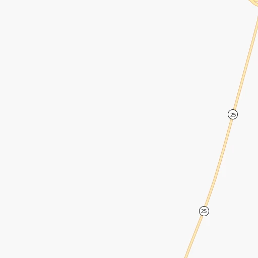
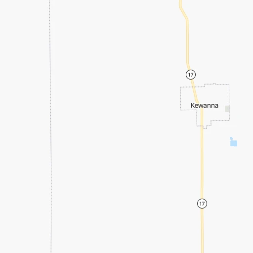
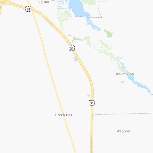
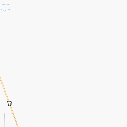
Roadmap (route) to go from Friedrich Airport to El Paso detailed above, you can also see the course layout on the map.
While doing trip Friedrich (airport) - El Paso by car, the calculated route ends at a distance , or more straight.
Distance and duration of the route between Friedrich (airport) and El Paso
Calculation of distance and route from El Paso to Friedrich (airport) :
2,066.52,374.4 km26h19mn
Continue 0h0mn 103 mTurn left onto West 400 South 0h0mn 168 mTurn left onto South 550 West 0h5mn 2.4 kmTurn right onto West 550 South 0h2mn 1.2 kmTurn right onto West 600 South 0h0mn 236 mContinue onto South 600 West 0h5mn 2.4 kmTurn right onto SR 114 0h2mn 1.6 kmTurn left onto SR 17 0h21mn 21.1 kmTurn right onto Wheatland Avenue 0h0mn 262 mTurn left onto Vine Street 0h0mn 439 mTurn right onto West Market Street 0h0mn 332 mTurn left onto South Cicott Street 0h1mn 748 mKeep right onto Old State Road 25 0h4mn 4.4 kmTurn left onto Hoosier Heartland Highway 1h35mn 50.6 kmAt roundabout, take exit 2 onto Hoosier Heartland Highway 0h4mn 4.8 kmTurn right onto Greenbush Street 0h0mn 482 mTurn slight right onto Fannon Drive 0h2mn 2.0 kmTurn left onto Alabama Street 0h0mn 60 mKeep right 0h0mn 59 mTurn slight right onto South 4th Street 0h9mn 8.4 kmTurn right onto West 500 South 0h0mn 328 mTurn sharp left onto US 231 1h33mn 36.2 kmTurn right onto West South Boulevard 1h34mn 37.9 kmTurn left onto US 41 1h49mn 54.0 kmTurn right onto Cherry Street 1h12mn 112.9 kmKeep right onto I 70 and take I 70 West toward Saint Louis 1h13mn 123.4 kmKeep left onto I 70 and take I 55 South, I 70 West toward Saint Louis 0h17mn 27.0 kmKeep left onto I 55, US 40 and take I 55 South, I 64, IL 3, US 40 West toward Louisville, Saint Louis 0h2mn 2.8 kmKeep right onto I 55, IL 3 and take IL 3 South toward Cahokia 0h2mn 2.6 kmKeep right onto I 55 and take I 44 West, I 55 South, I 44 East toward Tulsa, Memphis, Kansas City, Walnut Street 0h2mn 2.1 kmKeep right onto Officer David Haynes Memorial Highway 6h59mn 607.7 kmKeep right onto I 44 and take I 44 West, US 412 West, OK 66 West toward Tulsa 0h5mn 8.2 kmKeep left onto Skelly Bypass and take I 44 West, OK 66 West toward Sapulpa, Oklahoma City 0h14mn 20.3 kmKeep left onto Skelly Bypass 0h1mn 2.1 kmKeep left onto Skelly Bypass 1h18mn 140.9 kmKeep left onto I 44 and take I 35 South, I 44 West, OK 66 West toward Dallas, Lawton 0h5mn 7.4 kmKeep right onto Will Rogers Expressway and take I 44 West, OK 66 West toward Lawton, Amarillo 0h8mn 11.4 kmKeep right and take OK 66 West toward Warr Acres, Bethany 0h0mn 272 mKeep left onto Northwest 39th Expressway 0h20mn 21.9 kmTurn left onto North Cimarron Road 0h1mn 645 mTurn right and take I 40 West, US 270 West toward Amarillo 4h37mn 384.3 kmKeep right onto US 287 and take I 27 South, US 87, US 60, US 287 North toward Canyon, Lubbock, Dumas, Pampa, Downtown 0h0mn 143 mKeep left and take I 27 South, US 87 South, US 60 West toward Canyon, Lubbock 0h14mn 22.1 kmKeep right onto Canyon Expressway 0h2mn 3.9 kmKeep right onto US 60 and take US 60 West toward Hereford 0h10mn 16.6 kmTurn slight right onto US 60 1h4mn 88.3 kmContinue onto Gardner Avenue 0h13mn 21.2 kmKeep right 0h0mn 58 mTurn slight right onto Wheeler Avenue 0h3mn 3.0 kmTurn slight right onto US 60, US 70, US 84 0h4mn 4.7 kmTurn slight right onto Mabry Drive 0h4mn 4.6 kmTurn left onto South Norris Street 0h1mn 676 mTurn right onto East Brady Avenue 0h2mn 1.6 kmTurn left onto South Prince Street 3h31mn 177.9 kmKeep right 2h36mn 133.7 kmKeep right 0h23mn 26.5 kmTurn left onto North Bookout Road 0h2mn 2.4 kmTurn left onto US 54, US 70 0h9mn 14.0 kmKeep right onto US 54, US 70 0h6mn 7.9 kmKeep right onto US 70 0h1mn 510 mTurn left onto US Highway 54 South 1h10mn 116.3 kmKeep left onto US 54 0h9mn 13.0 kmKeep right and drive toward Fort Bliss, Pershing Drive 0h1mn 594 mKeep left onto Gateway South Boulevard 0h2mn 1.8 kmTurn right onto Pershing Drive 0h3mn 3.3 kmTurn right onto East Missouri Avenue 0h1mn 607 mKeep left 0h1mn 1.9 kmKeep right and drive toward Missouri Avenue, Downtown 0h1mn 879 mTurn left onto North Mesa Street 0h0mn 427 mArrive at destination 0h0mn 0 m
Travel from Friedrich (airport) (Texas) to a selection of major cities.
Distances from Friedrich Airport to biggest cities in Indiana
- Columbus,46,690 inhabitants.203 km
- West Lafayette,45,550 inhabitants.79 km
- Portage,36,738 inhabitants.95 km
- Westfield,36,738 inhabitants.108 km
- New Albany,36,732 inhabitants.305 km
- Richmond,35,854 inhabitants.179 km
- Merrillville,35,224 inhabitants.99 km
- Goshen,32,983 inhabitants.78 km
- Valparaiso,32,626 inhabitants.80 km
- Michigan City,31,459 inhabitants.92 km
- Plainfield,30,590 inhabitants.144 km
- Granger,30,465 inhabitants.87 km
- Marion,29,081 inhabitants.76 km
- Crown Point,28,879 inhabitants.97 km
- Schererville,28,791 inhabitants.107 km
- East Chicago,28,699 inhabitants.117 km
- Hobart,28,404 inhabitants.97 km
- Zionsville,26,296 inhabitants.117 km
- Brownsburg,24,996 inhabitants.128 km
- Franklin,24,598 inhabitants.170 km
Other major cities in country :
- Seattle [WA], 684,451 inhabitants. 2,931 km
- Denver [CO], 682,545 inhabitants. 1,584 km
- El Paso [TX], 681,124 inhabitants. 2,070 km
- Detroit [MI], 677,116 inhabitants. 312 km
- Boston [MA], 667,137 inhabitants. 1,278 km
- Memphis [TN], 655,770 inhabitants. 727 km
- New South Memphis [TN], 641,608 inhabitants. 734 km
- Portland [OR], 632,309 inhabitants. 2,962 km
- Oklahoma City [OK], 631,346 inhabitants. 1,153 km
- Las Vegas [NV], 623,747 inhabitants. 2,550 km
- Baltimore [MD], 621,849 inhabitants. 849 km
- Washington, D.C. [DC], 601,723 inhabitants. 828 km
- Milwaukee [WI], 600,155 inhabitants. 262 km
- South Boston [MA], 571,281 inhabitants. 1,279 km
- Albuquerque [NM], 559,121 inhabitants. 1,892 km
- Tucson [AZ], 531,641 inhabitants. 2,393 km
- Nashville [TN], 530,852 inhabitants. 539 km
- Fresno [CA], 520,052 inhabitants. 2,917 km
- Sacramento [CA], 490,712 inhabitants. 2,998 km
- Kansas City [MO], 475,378 inhabitants. 732 km
Route from El Paso to major cities (United States).
- Distance El Paso New York City3,062 km
- Distance El Paso Los Angeles1,127 km
- Distance El Paso Chicago2,013 km
- Distance El Paso Brooklyn3,065 km
- Distance El Paso Queens3,075 km
- Distance El Paso Philadelphia2,952 km
- Distance El Paso Phoenix557 km
- Distance El Paso Manhattan3,066 km
- Distance El Paso San Diego1,011 km
- Distance El Paso The Bronx3,075 km
- Distance El Paso San Jose1,541 km
- Distance El Paso Jacksonville2,368 km
- Distance El Paso San Francisco1,601 km
- Distance El Paso Columbus2,298 km
- Distance El Paso Indianapolis2,035 km
- Distance El Paso Charlotte2,405 km
- Distance El Paso Seattle2,217 km
- Distance El Paso Denver899 km
- Distance El Paso Detroit2,381 km
- Distance El Paso Boston3,332 km
Nearest cities to Friedrich (airport) :
- Chicago, 2,720,546 inhabitants. 145 km
- Indianapolis, 829,718 inhabitants. 138 km
- Milwaukee, 600,155 inhabitants. 262 km
- Lexington-Fayette, 314,488 inhabitants. 366 km
- Cincinnati, 296,943 inhabitants. 260 km
- Toledo, 279,789 inhabitants. 245 km
- Fort Wayne, 260,326 inhabitants. 103 km
- Louisville, 243,639 inhabitants. 309 km
- Aurora, 200,661 inhabitants. 186 km
- Grand Rapids, 195,097 inhabitants. 226 km
- Rockford, 148,278 inhabitants. 269 km
- Joliet, 147,861 inhabitants. 157 km
- Naperville, 147,100 inhabitants. 174 km
- Dayton, 140,599 inhabitants. 229 km
- Ann Arbor, 117,070 inhabitants. 259 km
- Lansing, 115,056 inhabitants. 244 km
- Elgin, 112,111 inhabitants. 199 km
- South Bend, 101,516 inhabitants. 77 km
- Kenosha, 99,858 inhabitants. 215 km
- Flint, 98,310 inhabitants. 314 km
- Livonia, 94,635 inhabitants. 292 km
- Carmel, 88,713 inhabitants. 115 km
- Waukegan, 88,475 inhabitants. 197 km
- Canton, 86,825 inhabitants. 279 km
- West Town, 86,429 inhabitants. 149 km
- Champaign, 86,096 inhabitants. 188 km
- Near North Side, 85,711 inhabitants. 147 km
- Bloomington, 84,067 inhabitants. 204 km
- Cicero, 83,886 inhabitants. 151 km
- Westland, 82,000 inhabitants. 286 km
- Farmington Hills, 81,330 inhabitants. 297 km
- Belmont Cragin, 79,159 inhabitants. 158 km
- Bloomington, 78,292 inhabitants. 230 km
- Racine, 77,742 inhabitants. 226 km
- Hammond, 77,614 inhabitants. 117 km
- Gary, 77,156 inhabitants. 107 km
- Fishers, 76,794 inhabitants. 119 km
- Kalamazoo, 76,041 inhabitants. 157 km
- Arlington Heights, 75,926 inhabitants. 183 km
- Waterford, 75,737 inhabitants. 308 km
- Evanston, 75,527 inhabitants. 162 km
- Wyoming, 75,275 inhabitants. 220 km
- Schaumburg, 74,693 inhabitants. 185 km
- Bolingbrook, 74,306 inhabitants. 164 km
- South Lawndale, 73,826 inhabitants. 148 km
- Logan Square, 73,702 inhabitants. 153 km
- Decatur, 73,254 inhabitants. 256 km
- West Ridge, 72,211 inhabitants. 158 km
- Waukesha, 71,970 inhabitants. 273 km
- Lafayette, 71,111 inhabitants. 78 km
Location Friedrich (airport) (Indiana) :
| Country flag |  |
| Location | Friedrich (airport) |
| State | Indiana |
| County | Fulton County |
| Country | United States |
| Country code / ISO 2 | US |
| Latitude | 40.9955300 |
| Longitude | -86.3459700 |
| Altitude | 234 meters |
| Time zone | America/Indiana/Indianapolis |
Location El Paso (Texas) :
| Country flag | |
| Location | El Paso |
| State | Texas |
| County | El Paso County |
| Country | United States |
| Country code / ISO 2 | US |
| Latitude | 31.7587200 |
| Longitude | -106.4869300 |
| Altitude | 1133 meters |
| Time zone | America/Denver |


