


How to get from Way West (airport) (Indiana) to Marion (Indiana)
Calculate route from Way West (airport) (Indiana, United States) to Marion (Indiana, United States).
The flight distance (as the crow flies) between Way West (airport) and Marion is 127.8 km.
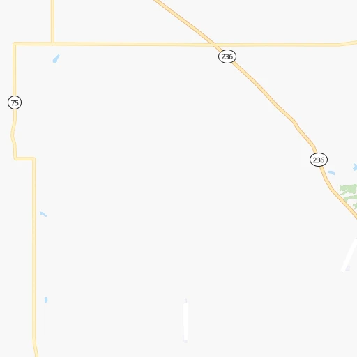
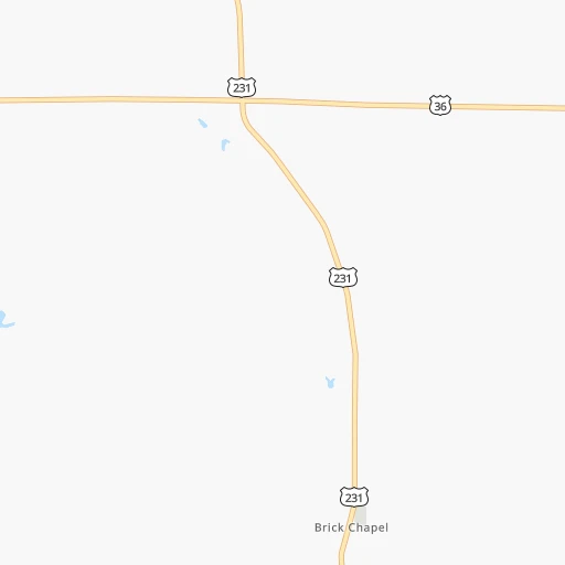
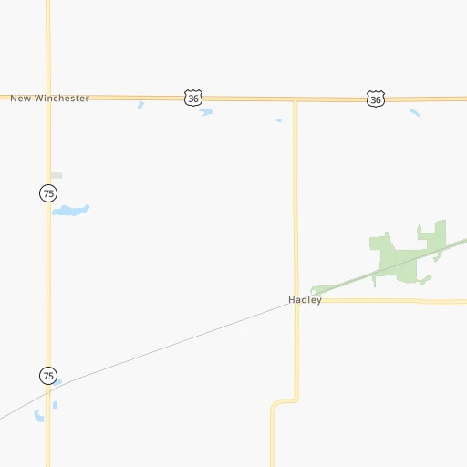
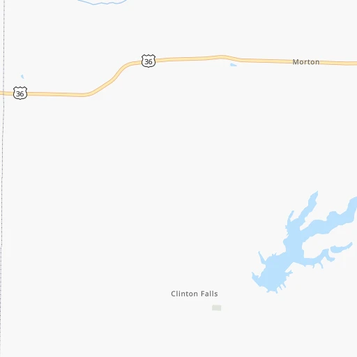
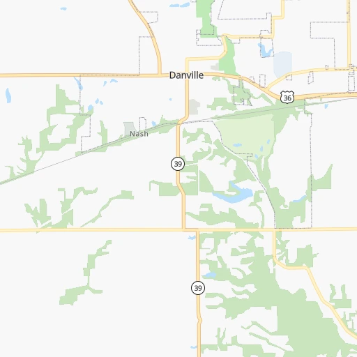
Roadmap (route) to go from Way West Airport to Marion detailed above, you can also see the course layout on the map.
While doing trip Way West (airport) - Marion by car, the calculated route ends at a distance , or more straight.
Distance and duration of the route between Way West (airport) and Marion
Calculation of distance and route from Marion to Way West (airport) :
127.8159.0 km2h24mn
Continue 0h0mn 54 mTurn right onto Way West Airpark 0h0mn 145 mTurn left onto North County Road 500 East 0h3mn 1.4 kmTurn left onto Ernie Pyle Memorial Highway 0h27mn 30.5 kmTurn slight right onto Rockville Road 0h8mn 8.8 kmTurn right onto Rockville Road 0h4mn 4.9 kmTurn slight right onto Rockville Road 0h2mn 2.5 kmTurn slight left onto West Washington Street 0h2mn 2.0 kmTurn left onto North Belmont Avenue 0h1mn 940 mTurn right onto West Michigan Street 0h1mn 970 mTurn left onto Saint Margaret's Drive 0h1mn 493 mTurn right onto West 10th Street 0h2mn 1.5 kmTurn left onto North West Street 0h0mn 139 mKeep right toward I 65 North 0h1mn 1.1 kmKeep right and drive toward 21st Street 0h0mn 355 mKeep left and drive toward 21st Street 0h0mn 68 mTurn right onto West 21st Street 0h1mn 399 mTurn left onto North Illinois Street 0h1mn 913 mTurn right onto West Fall Creek Parkway, North Drive 0h1mn 666 mTurn right onto East Fall Creek Parkway North Drive 0h5mn 4.7 kmTurn slight right onto Binford Boulevard 0h11mn 14.8 kmKeep right onto IN-37 and take SR 37 North toward 116th Street 0h1mn 1.1 kmKeep left onto IN-37 toward SR 37 North 0h1mn 1.1 kmKeep left onto IN-37 toward SR 37 North 0h10mn 13.6 kmContinue onto SR 37 0h5mn 6.3 kmAt roundabout, take exit 2 onto SR 37 1h54mn 58.1 kmTurn right onto West 4th Street 0h1mn 1.5 kmTurn left onto South Adams Street 0h0mn 102 mTurn left onto East 3rd Street 0h0mn 51 mArrive at destination 0h0mn 0 m
Travel from Way West (airport) (Indiana) to a selection of major cities.
Distances from Way West Airport to biggest cities in Indiana
- Columbus,46,690 inhabitants.96 km
- West Lafayette,45,550 inhabitants.74 km
- Portage,36,738 inhabitants.204 km
- Westfield,36,738 inhabitants.62 km
- New Albany,36,732 inhabitants.184 km
- Richmond,35,854 inhabitants.160 km
- Merrillville,35,224 inhabitants.196 km
- Goshen,32,983 inhabitants.216 km
- Valparaiso,32,626 inhabitants.191 km
- Michigan City,31,459 inhabitants.216 km
- Plainfield,30,590 inhabitants.32 km
- Granger,30,465 inhabitants.227 km
- Marion,29,081 inhabitants.128 km
- Crown Point,28,879 inhabitants.190 km
- Schererville,28,791 inhabitants.199 km
- East Chicago,28,699 inhabitants.216 km
- Hobart,28,404 inhabitants.200 km
- Zionsville,26,296 inhabitants.47 km
- Brownsburg,24,996 inhabitants.32 km
- Franklin,24,598 inhabitants.69 km
Other major cities in country :
- Seattle [WA], 684,451 inhabitants. 2,964 km
- Denver [CO], 682,545 inhabitants. 1,557 km
- El Paso [TX], 681,124 inhabitants. 1,987 km
- Detroit [MI], 677,116 inhabitants. 422 km
- Boston [MA], 667,137 inhabitants. 1,347 km
- Memphis [TN], 655,770 inhabitants. 591 km
- New South Memphis [TN], 641,608 inhabitants. 598 km
- Portland [OR], 632,309 inhabitants. 2,983 km
- Oklahoma City [OK], 631,346 inhabitants. 1,062 km
- Las Vegas [NV], 623,747 inhabitants. 2,511 km
- Baltimore [MD], 621,849 inhabitants. 872 km
- Washington, D.C. [DC], 601,723 inhabitants. 842 km
- Milwaukee [WI], 600,155 inhabitants. 376 km
- South Boston [MA], 571,281 inhabitants. 1,347 km
- Albuquerque [NM], 559,121 inhabitants. 1,830 km
- Tucson [AZ], 531,641 inhabitants. 2,324 km
- Nashville [TN], 530,852 inhabitants. 402 km
- Fresno [CA], 520,052 inhabitants. 2,889 km
- Sacramento [CA], 490,712 inhabitants. 2,981 km
- Kansas City [MO], 475,378 inhabitants. 676 km
Route from Marion to major cities (United States).
- Distance Marion New York City984 km
- Distance Marion Los Angeles2,956 km
- Distance Marion Chicago220 km
- Distance Marion Brooklyn989 km
- Distance Marion Houston1,489 km
- Distance Marion Queens998 km
- Distance Marion Philadelphia894 km
- Distance Marion Phoenix2,467 km
- Distance Marion Manhattan987 km
- Distance Marion San Antonio1,701 km
- Distance Marion San Diego2,929 km
- Distance Marion The Bronx995 km
- Distance Marion Dallas1,317 km
- Distance Marion San Jose3,135 km
- Distance Marion Austin1,583 km
- Distance Marion Jacksonville1,194 km
- Distance Marion San Francisco3,165 km
- Distance Marion Columbus236 km
- Distance Marion Fort Worth1,356 km
- Distance Marion Charlotte729 km
Nearest cities to Way West (airport) :
- Chicago, 2,720,546 inhabitants. 243 km
- Indianapolis, 829,718 inhabitants. 52 km
- Lexington-Fayette, 314,488 inhabitants. 277 km
- Cincinnati, 296,943 inhabitants. 206 km
- Fort Wayne, 260,326 inhabitants. 205 km
- Louisville, 243,639 inhabitants. 190 km
- Lexington, 225,366 inhabitants. 280 km
- Aurora, 200,661 inhabitants. 257 km
- Rockford, 148,278 inhabitants. 340 km
- Joliet, 147,861 inhabitants. 225 km
- Naperville, 147,100 inhabitants. 253 km
- Dayton, 140,599 inhabitants. 220 km
- Evansville, 119,943 inhabitants. 212 km
- Springfield, 116,565 inhabitants. 247 km
- Peoria, 115,070 inhabitants. 261 km
- Lansing, 115,056 inhabitants. 377 km
- North Peoria, 113,004 inhabitants. 262 km
- Elgin, 112,111 inhabitants. 283 km
- South Bend, 101,516 inhabitants. 217 km
- Kenosha, 99,858 inhabitants. 325 km
- Carmel, 88,713 inhabitants. 59 km
- Waukegan, 88,475 inhabitants. 302 km
- West Town, 86,429 inhabitants. 248 km
- Champaign, 86,096 inhabitants. 132 km
- Near North Side, 85,711 inhabitants. 248 km
- Bloomington, 84,067 inhabitants. 71 km
- Cicero, 83,886 inhabitants. 245 km
- Belmont Cragin, 79,159 inhabitants. 255 km
- Bloomington, 78,292 inhabitants. 206 km
- Racine, 77,742 inhabitants. 340 km
- Hammond, 77,614 inhabitants. 211 km
- Gary, 77,156 inhabitants. 208 km
- Fishers, 76,794 inhabitants. 67 km
- Kalamazoo, 76,041 inhabitants. 297 km
- Arlington Heights, 75,926 inhabitants. 277 km
- Evanston, 75,527 inhabitants. 264 km
- Schaumburg, 74,693 inhabitants. 275 km
- Bolingbrook, 74,306 inhabitants. 241 km
- South Lawndale, 73,826 inhabitants. 244 km
- Logan Square, 73,702 inhabitants. 252 km
- Decatur, 73,254 inhabitants. 188 km
- West Ridge, 72,211 inhabitants. 260 km
- Lafayette, 71,111 inhabitants. 72 km
- Muncie, 70,087 inhabitants. 126 km
- Palatine, 69,308 inhabitants. 281 km
- Lincoln Park, 66,959 inhabitants. 250 km
- Portage Park, 64,841 inhabitants. 257 km
- Skokie, 64,821 inhabitants. 264 km
- Janesville, 64,123 inhabitants. 375 km
- Bowling Green, 63,616 inhabitants. 311 km
Location Way West (airport) (Indiana) :
| Country flag |  |
| Location | Way West (airport) |
| State | Indiana |
| County | Putnam County |
| Country | United States |
| Country code / ISO 2 | US |
| Latitude | 39.7741400 |
| Longitude | -86.7600900 |
| Altitude | 274 meters |
| Time zone | America/Indiana/Indianapolis |
Location Marion (Indiana) :
| Country flag | |
| Location | Marion |
| State | Indiana |
| County | Grant County |
| Country | United States |
| Country code / ISO 2 | US |
| Latitude | 40.5583700 |
| Longitude | -85.6591400 |
| Altitude | 247 meters |
| Time zone | America/Indiana/Indianapolis |


