
How to get from Kay Air (airport) (Indiana) to Portage (Indiana)
Calculate route from Kay Air (airport) (Indiana, United States) to Portage (Indiana, United States).
The flight distance (as the crow flies) between Kay Air (airport) and Portage is 233.8 km.
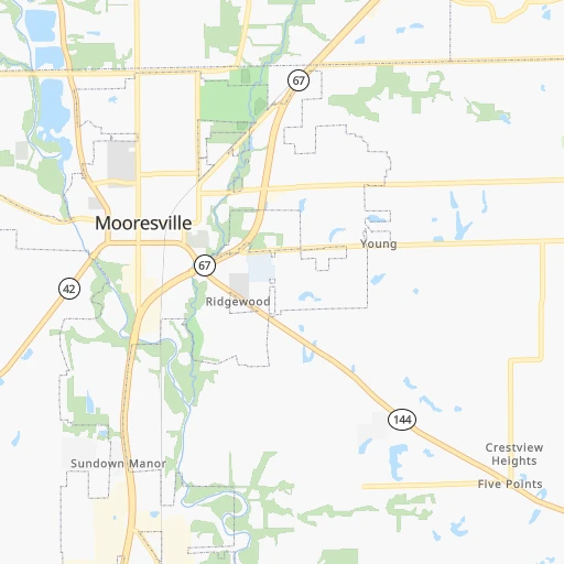
Roadmap (route) to go from Kay Air Airport to Portage detailed above, you can also see the course layout on the map.
While doing trip Kay Air (airport) - Portage by car, the calculated route ends at a distance , or more straight.
Distance and duration of the route between Kay Air (airport) and Portage
Calculation of distance and route from Portage to Kay Air (airport) :
233.8265.3 km3h58mn
Continue 0h0mn 146 mTurn left 0h0mn 30 mTurn slight left 0h0mn 134 mTurn left onto North Smokey Row Road 0h2mn 1.1 kmTurn left onto North Smokey Row Road 0h1mn 653 mTurn right 0h0mn 17 mTurn right onto North Mann Road 0h0mn 85 mTurn left onto East Foxhill Drive 0h8mn 6.5 kmTurn right onto South Mooresville Road 0h1mn 816 mTurn right onto Mooresville Road 0h5mn 5.0 kmKeep right onto Kentucky Avenue 0h1mn 1.2 kmKeep right 0h9mn 11.6 kmContinue onto USS Indianapolis Memorial Highway 0h5mn 6.3 kmKeep left and take I 65 North toward Chicago 2h13mn 220.5 kmKeep right and take I 80 East, I 94 East, US 6 East toward Toledo, Detroit 0h1mn 1.4 kmKeep right and drive toward Central Avenue 0h0mn 535 mKeep right and drive toward Lake Station 0h0mn 59 mTurn slight right onto Central Avenue 0h8mn 6.8 kmTurn left onto Central Avenue 0h3mn 2.3 kmArrive at destination 0h0mn 0 m
Travel from Kay Air (airport) (Indiana) to a selection of major cities.
Distances from Kay Air Airport to biggest cities in Indiana
- Columbus,46,690 inhabitants.53 km
- West Lafayette,45,550 inhabitants.108 km
- Portage,36,738 inhabitants.234 km
- Westfield,36,738 inhabitants.52 km
- New Albany,36,732 inhabitants.150 km
- Richmond,35,854 inhabitants.121 km
- Merrillville,35,224 inhabitants.229 km
- Goshen,32,983 inhabitants.225 km
- Valparaiso,32,626 inhabitants.220 km
- Michigan City,31,459 inhabitants.242 km
- Plainfield,30,590 inhabitants.17 km
- Granger,30,465 inhabitants.242 km
- Marion,29,081 inhabitants.120 km
- Crown Point,28,879 inhabitants.224 km
- Schererville,28,791 inhabitants.233 km
- East Chicago,28,699 inhabitants.249 km
- Hobart,28,404 inhabitants.232 km
- Zionsville,26,296 inhabitants.40 km
- Brownsburg,24,996 inhabitants.30 km
- Franklin,24,598 inhabitants.22 km
Other major cities in country :
- Seattle [WA], 684,451 inhabitants. 3,010 km
- Denver [CO], 682,545 inhabitants. 1,601 km
- El Paso [TX], 681,124 inhabitants. 2,019 km
- Detroit [MI], 677,116 inhabitants. 409 km
- Boston [MA], 667,137 inhabitants. 1,313 km
- Memphis [TN], 655,770 inhabitants. 596 km
- New South Memphis [TN], 641,608 inhabitants. 602 km
- Portland [OR], 632,309 inhabitants. 3,030 km
- Oklahoma City [OK], 631,346 inhabitants. 1,092 km
- Las Vegas [NV], 623,747 inhabitants. 2,553 km
- Baltimore [MD], 621,849 inhabitants. 831 km
- Washington, D.C. [DC], 601,723 inhabitants. 800 km
- Milwaukee [WI], 600,155 inhabitants. 408 km
- South Boston [MA], 571,281 inhabitants. 1,314 km
- Albuquerque [NM], 559,121 inhabitants. 1,867 km
- Tucson [AZ], 531,641 inhabitants. 2,360 km
- Nashville [TN], 530,852 inhabitants. 383 km
- Fresno [CA], 520,052 inhabitants. 2,932 km
- Sacramento [CA], 490,712 inhabitants. 3,026 km
- Kansas City [MO], 475,378 inhabitants. 717 km
Route from Portage to major cities (United States).
- Distance Portage New York City1,107 km
- Distance Portage Los Angeles2,840 km
- Distance Portage Chicago50 km
- Distance Portage Brooklyn1,113 km
- Distance Portage Houston1,507 km
- Distance Portage Queens1,122 km
- Distance Portage Philadelphia1,028 km
- Distance Portage Phoenix2,367 km
- Distance Portage Manhattan1,109 km
- Distance Portage San Antonio1,694 km
- Distance Portage San Diego2,821 km
- Distance Portage The Bronx1,116 km
- Distance Portage Dallas1,297 km
- Distance Portage San Jose3,000 km
- Distance Portage Austin1,576 km
- Distance Portage Jacksonville1,346 km
- Distance Portage San Francisco3,028 km
- Distance Portage Columbus395 km
- Distance Portage Fort Worth1,333 km
- Distance Portage Charlotte896 km
Nearest cities to Kay Air (airport) :
- Chicago, 2,720,546 inhabitants. 277 km
- Indianapolis, 829,718 inhabitants. 22 km
- Lexington-Fayette, 314,488 inhabitants. 232 km
- Cincinnati, 296,943 inhabitants. 160 km
- Toledo, 279,789 inhabitants. 326 km
- Fort Wayne, 260,326 inhabitants. 197 km
- Louisville, 243,639 inhabitants. 155 km
- Lexington, 225,366 inhabitants. 236 km
- Aurora, 200,661 inhabitants. 297 km
- Rockford, 148,278 inhabitants. 381 km
- Joliet, 147,861 inhabitants. 265 km
- Naperville, 147,100 inhabitants. 291 km
- Dayton, 140,599 inhabitants. 179 km
- Evansville, 119,943 inhabitants. 211 km
- Ann Arbor, 117,070 inhabitants. 367 km
- Elgin, 112,111 inhabitants. 321 km
- South Bend, 101,516 inhabitants. 233 km
- Kenosha, 99,858 inhabitants. 358 km
- Livonia, 94,635 inhabitants. 395 km
- Carmel, 88,713 inhabitants. 46 km
- Waukegan, 88,475 inhabitants. 336 km
- Canton, 86,825 inhabitants. 383 km
- West Town, 86,429 inhabitants. 283 km
- Champaign, 86,096 inhabitants. 178 km
- Near North Side, 85,711 inhabitants. 282 km
- Bloomington, 84,067 inhabitants. 52 km
- Cicero, 83,886 inhabitants. 281 km
- Westland, 82,000 inhabitants. 389 km
- Farmington Hills, 81,330 inhabitants. 404 km
- Belmont Cragin, 79,159 inhabitants. 290 km
- Bloomington, 78,292 inhabitants. 252 km
- Hammond, 77,614 inhabitants. 245 km
- Gary, 77,156 inhabitants. 241 km
- Fishers, 76,794 inhabitants. 47 km
- Kalamazoo, 76,041 inhabitants. 307 km
- Arlington Heights, 75,926 inhabitants. 313 km
- Evanston, 75,527 inhabitants. 298 km
- Schaumburg, 74,693 inhabitants. 312 km
- Bolingbrook, 74,306 inhabitants. 280 km
- South Lawndale, 73,826 inhabitants. 279 km
- Logan Square, 73,702 inhabitants. 287 km
- Decatur, 73,254 inhabitants. 231 km
- West Ridge, 72,211 inhabitants. 294 km
- Lafayette, 71,111 inhabitants. 106 km
- Muncie, 70,087 inhabitants. 101 km
- Palatine, 69,308 inhabitants. 318 km
- Lincoln Park, 66,959 inhabitants. 285 km
- Portage Park, 64,841 inhabitants. 292 km
- Skokie, 64,821 inhabitants. 299 km
- West Bloomfield Township, 64,690 inhabitants. 411 km
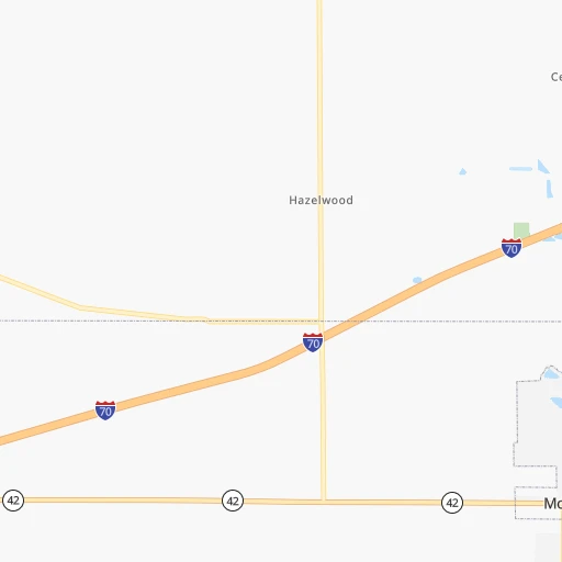
Location Kay Air (airport) (Indiana) :
| Country flag |  |
| Location | Kay Air (airport) |
| State | Indiana |
| County | Morgan County |
| Country | United States |
| Country code / ISO 2 | US |
| Latitude | 39.5871600 |
| Longitude | -86.2730700 |
| Altitude | 199 meters |
| Time zone | America/Indiana/Indianapolis |
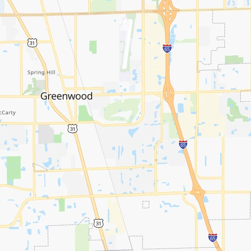
Location Portage (Indiana) :
| Country flag | |
| Location | Portage |
| State | Indiana |
| County | Porter County |
| Country | United States |
| Country code / ISO 2 | US |
| Latitude | 41.5758700 |
| Longitude | -87.1761500 |
| Altitude | 194 meters |
| Time zone | America/Chicago |


