
How to get from Flying B (airport) (Texas) to Brownsville (Texas)
Calculate route from Flying B (airport) (Texas, United States) to Brownsville (Texas, United States).
The flight distance (as the crow flies) between Flying B (airport) and Brownsville is 815.2 km.
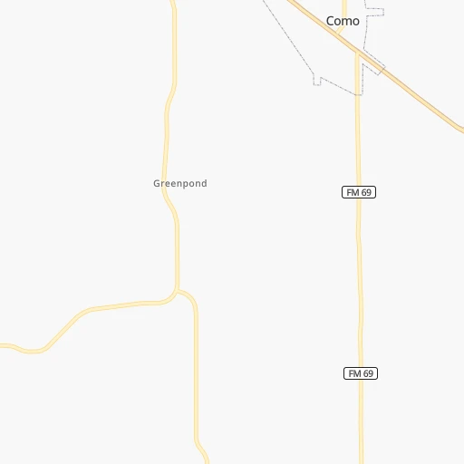
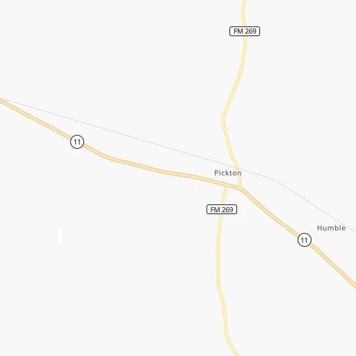
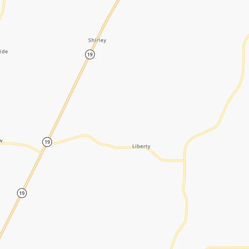
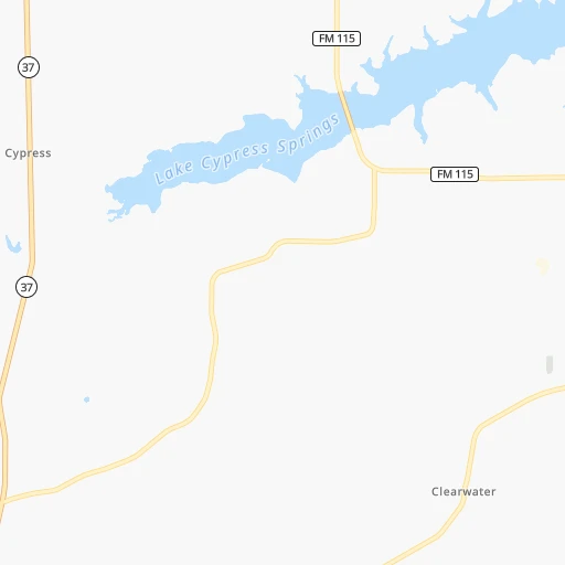
Roadmap (route) to go from Flying B Airport to Brownsville detailed above, you can also see the course layout on the map.
While doing trip Flying B (airport) - Brownsville by car, the calculated route ends at a distance , or more straight.
Distance and duration of the route between Flying B (airport) and Brownsville
Calculation of distance and route from Brownsville to Flying B (airport) :
815.2934.0 km12h60mn
Continue 0h1mn 360 mTurn left onto County Road 2421 0h3mn 1.3 kmTurn left onto County Road 2426 0h7mn 3.5 kmTurn left onto FM 69 0h1mn 563 mTurn right onto FM 69 0h5mn 5.4 kmTurn left onto FM 69, FM 515 0h0mn 188 mTurn right onto Farm-to-Market Road 69 0h13mn 10.6 kmTurn right onto State Highway 37 0h4mn 4.7 kmTurn right onto East Goode Street 0h1mn 563 mTurn left onto Main Street 0h0mn 44 mContinue onto South Main Street 0h26mn 30.3 kmKeep right 0h21mn 35.5 kmKeep right and take TX 155 toward Tyler, Noonday 0h1mn 754 mTurn right onto State Highway 155 South 1h51mn 59.6 kmTurn right onto East Palestine Avenue 1h1mn 70.5 kmKeep right 0h0mn 139 mTurn sharp left onto FM 39 1h47mn 49.7 kmKeep right 0h0mn 309 mTurn right onto State Highway 21 West 0h25mn 38.6 kmContinue onto TX 21 0h20mn 33.7 kmContinue onto TX 21 0h23mn 37.1 kmKeep right 0h0mn 267 mKeep left 0h0mn 49 mTurn left onto United States Highway 77 0h1mn 657 mContinue onto US 77 1h38mn 44.0 kmTurn right onto West State Highway 71 Bypass 0h0mn 112 mTurn left 0h2mn 2.9 kmKeep right and take TX 71-E Business, To FM 609 toward La Grange 0h0mn 465 mTurn slight left onto West State Highway 71 Bypass 0h0mn 57 mTurn left onto TX 71 Bus 0h0mn 276 mTurn left onto West Travis Street 0h1mn 954 mKeep right 0h0mn 93 mTurn slight right onto FM 609 0h25mn 32.4 kmTurn right onto East Main Street North 0h1mn 515 mContinue onto West Main Street North 0h0mn 293 mTurn left onto North Faires Street 1h34mn 42.8 kmKeep right 0h0mn 68 mTurn slight right onto US Highway 77A North 0h21mn 23.2 kmTurn left onto North US Highway 183 0h10mn 11.3 kmKeep left onto South US Highway 183 1h53mn 86.7 kmKeep right 0h0mn 67 mTurn slight right onto North Alamo Street 1h31mn 35.3 kmKeep left onto US 77 0h19mn 23.7 kmKeep left 0h3mn 4.6 kmKeep right onto I 69E, US 77 and take I 69E, US 77 toward Kingsville, Brownsville 0h13mn 22.0 kmKeep left onto Driscoll Bypass 0h17mn 28.5 kmKeep left onto U.S. Highway 77 1h24mn 99.0 kmKeep left onto U.S. Highway 77 1h54mn 88.5 kmKeep right and drive toward 12th-14th Street 0h1mn 630 mTurn right onto East 12th Street 0h1mn 1.2 kmTurn right onto East Washington Street 0h0mn 9 mArrive at destination 0h0mn 0 m
Travel from Flying B (airport) (Texas) to a selection of major cities.
Distances from Flying B Airport to biggest cities in Texas
- Killeen,140,806 inhabitants.302 km
- McAllen,140,269 inhabitants.805 km
- Carrollton,133,168 inhabitants.136 km
- Midland,132,950 inhabitants.634 km
- Waco,132,356 inhabitants.229 km
- Denton,131,044 inhabitants.160 km
- Abilene,121,721 inhabitants.407 km
- Odessa,118,968 inhabitants.664 km
- Beaumont,118,129 inhabitants.350 km
- Round Rock,115,997 inhabitants.351 km
- Richardson,110,815 inhabitants.121 km
- Pearland,108,821 inhabitants.384 km
- College Station,107,889 inhabitants.279 km
- Wichita Falls,104,710 inhabitants.301 km
- Lewisville,104,039 inhabitants.146 km
- Tyler,103,700 inhabitants.75 km
- San Angelo,100,450 inhabitants.502 km
- Alief,98,725 inhabitants.368 km
- League City,98,312 inhabitants.392 km
- Allen,98,143 inhabitants.116 km
Other major cities in country :
- Memphis [TN], 655,770 inhabitants. 550 km
- New South Memphis [TN], 641,608 inhabitants. 547 km
- Portland [OR], 632,309 inhabitants. 2,710 km
- Oklahoma City [OK], 631,346 inhabitants. 334 km
- Las Vegas [NV], 623,747 inhabitants. 1,836 km
- Baltimore [MD], 621,849 inhabitants. 1,826 km
- Washington, D.C. [DC], 601,723 inhabitants. 1,778 km
- Milwaukee [WI], 600,155 inhabitants. 1,295 km
- South Boston [MA], 571,281 inhabitants. 2,374 km
- Albuquerque [NM], 559,121 inhabitants. 1,059 km
- Tucson [AZ], 531,641 inhabitants. 1,454 km
- Nashville [TN], 530,852 inhabitants. 866 km
- Fresno [CA], 520,052 inhabitants. 2,255 km
- Sacramento [CA], 490,712 inhabitants. 2,424 km
- Kansas City [MO], 475,378 inhabitants. 682 km
- Long Beach [CA], 474,140 inhabitants. 2,112 km
- Mesa [AZ], 471,825 inhabitants. 1,525 km
- Staten Island [NY], 468,730 inhabitants. 2,069 km
- Atlanta [GA], 463,878 inhabitants. 1,030 km
- Colorado Springs [CO], 456,568 inhabitants. 1,065 km
Route from Brownsville to major cities (United States).
- Distance Brownsville New York City2,723 km
- Distance Brownsville Los Angeles2,191 km
- Distance Brownsville Chicago1,992 km
- Distance Brownsville Brooklyn2,723 km
- Distance Brownsville Queens2,733 km
- Distance Brownsville Philadelphia2,595 km
- Distance Brownsville Phoenix1,639 km
- Distance Brownsville Manhattan2,730 km
- Distance Brownsville San Diego2,050 km
- Distance Brownsville The Bronx2,741 km
- Distance Brownsville San Jose2,629 km
- Distance Brownsville Jacksonville1,630 km
- Distance Brownsville San Francisco2,690 km
- Distance Brownsville Columbus2,064 km
- Distance Brownsville Indianapolis1,869 km
- Distance Brownsville Charlotte1,900 km
- Distance Brownsville Seattle3,249 km
- Distance Brownsville Denver1,690 km
- Distance Brownsville Detroit2,255 km
- Distance Brownsville Boston3,026 km
Nearest cities to Flying B (airport) :
- Dallas, 1,300,092 inhabitants. 131 km
- Austin, 931,830 inhabitants. 376 km
- Fort Worth, 833,319 inhabitants. 179 km
- Oklahoma City, 631,346 inhabitants. 334 km
- Arlington, 388,125 inhabitants. 160 km
- Plano, 283,558 inhabitants. 118 km
- Garland, 236,897 inhabitants. 113 km
- Irving, 236,607 inhabitants. 143 km
- Shreveport, 197,204 inhabitants. 167 km
- Grand Prairie, 187,809 inhabitants. 149 km
- McKinney, 162,898 inhabitants. 112 km
- Frisco, 154,407 inhabitants. 130 km
- Mesquite, 144,788 inhabitants. 112 km
- Killeen, 140,806 inhabitants. 302 km
- Carrollton, 133,168 inhabitants. 136 km
- Waco, 132,356 inhabitants. 229 km
- Denton, 131,044 inhabitants. 160 km
- Norman, 120,284 inhabitants. 307 km
- Beaumont, 118,129 inhabitants. 350 km
- Round Rock, 115,997 inhabitants. 351 km
- Richardson, 110,815 inhabitants. 121 km
- College Station, 107,889 inhabitants. 279 km
- Lewisville, 104,039 inhabitants. 146 km
- Tyler, 103,700 inhabitants. 75 km
- Allen, 98,143 inhabitants. 116 km
- Lawton, 96,655 inhabitants. 326 km
- The Woodlands, 93,847 inhabitants. 318 km
- Edmond, 90,092 inhabitants. 349 km
- Fort Smith, 88,194 inhabitants. 281 km
- Longview, 82,287 inhabitants. 87 km
- Bryan, 82,118 inhabitants. 275 km
- Kingwood Area, 81,692 inhabitants. 332 km
- Lake Charles, 76,070 inhabitants. 377 km
- Temple, 72,277 inhabitants. 279 km
- Flower Mound, 71,253 inhabitants. 155 km
- North Richland Hills, 69,204 inhabitants. 169 km
- Conroe, 68,602 inhabitants. 301 km
- Bossier City, 68,094 inhabitants. 169 km
- Cedar Park, 65,945 inhabitants. 359 km
- Conway, 64,980 inhabitants. 360 km
- Mansfield, 64,274 inhabitants. 167 km
- Georgetown, 63,716 inhabitants. 340 km
- Moore, 60,451 inhabitants. 320 km
- Rowlett, 60,236 inhabitants. 106 km
- Midwest City, 57,249 inhabitants. 326 km
- Pflugerville, 57,122 inhabitants. 354 km
- Spring, 54,298 inhabitants. 327 km
- Euless, 54,219 inhabitants. 155 km
- DeSoto, 52,486 inhabitants. 141 km
- Grapevine, 51,404 inhabitants. 154 km
Location Flying B (airport) (Texas) :
| Country flag |  |
| Location | Flying B (airport) |
| State | Texas |
| County | Hopkins County |
| Country | United States |
| Country code / ISO 2 | US |
| Latitude | 33.0148400 |
| Longitude | -95.4343900 |
| Altitude | 160 meters |
| Time zone | America/Chicago |
Location Brownsville (Texas) :
| Country flag | |
| Location | Brownsville |
| State | Texas |
| County | Cameron County |
| Country | United States |
| Country code / ISO 2 | US |
| Latitude | 25.9017500 |
| Longitude | -97.4974800 |
| Altitude | 10 meters |
| Time zone | America/Chicago |


