
How to get from Cherokee Ranch (airport) (Oklahoma) to Sand Springs (Oklahoma)
Calculate route from Cherokee Ranch (airport) (Oklahoma, United States) to Sand Springs (Oklahoma, United States).
The flight distance (as the crow flies) between Cherokee Ranch (airport) and Sand Springs is 48.3 km.
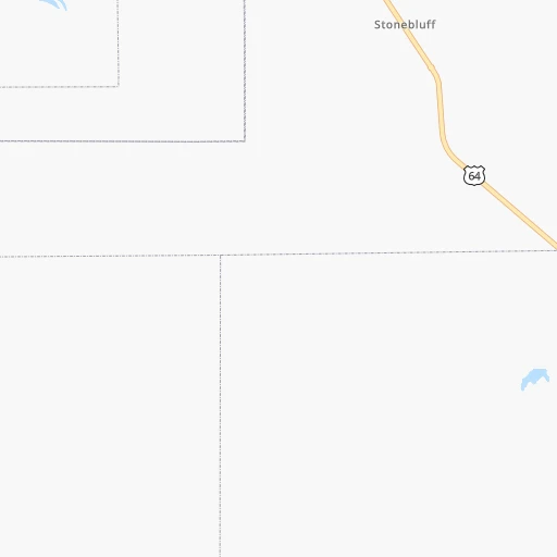
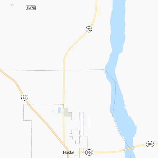
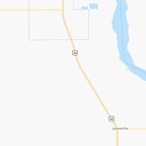
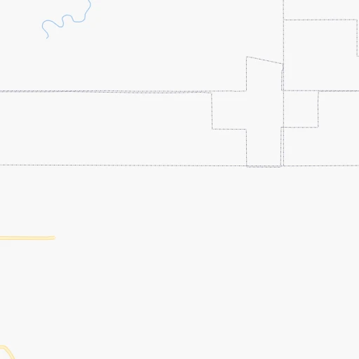
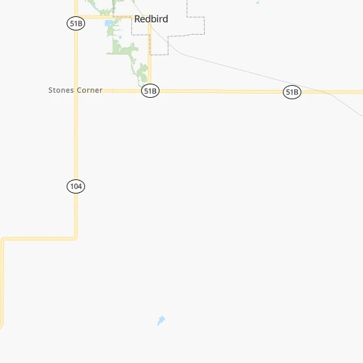
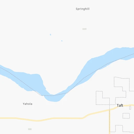
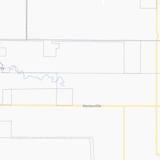
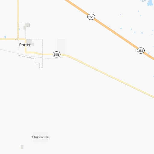
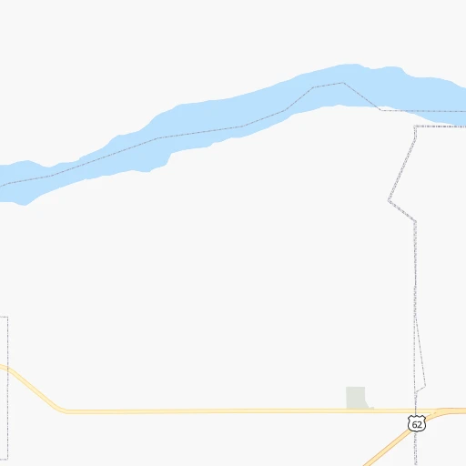
Roadmap (route) to go from Cherokee Ranch Airport to Sand Springs detailed above, you can also see the course layout on the map.
While doing trip Cherokee Ranch (airport) - Sand Springs by car, the calculated route ends at a distance , or more straight.
Distance and duration of the route between Cherokee Ranch (airport) and Sand Springs
Calculation of distance and route from Sand Springs to Cherokee Ranch (airport) :
48.366.9 km1h2mn
Continue onto Ferguson Road 0h18mn 15.2 kmTurn left onto Hectorville Road 0h9mn 11.2 kmTurn right onto Trooper William McClendon Memorial Highway and take US 75 North toward Tulsa 0h2mn 3.2 kmTurn left onto West 201st Street South and drive toward Mounds 0h4mn 3.6 kmTurn right onto Russell Avenue 0h1mn 562 mTurn left onto 13th Street 0h0mn 190 mTurn right onto Maxwell Avenue 0h0mn 345 mTurn left onto 16th Street 0h0mn 264 mTurn right onto Commercial Avenue 0h26mn 31.2 kmTurn right onto West Alexander Boulevard 0h1mn 512 mTurn left onto South Main Street 0h1mn 431 mTurn right onto East Broadway Street 0h0mn 122 mTurn left onto North McKinley Avenue 0h0mn 18 mArrive at destination 0h0mn 0 m
Travel from Cherokee Ranch (airport) (Oklahoma) to a selection of major cities.
Distances from Cherokee Ranch Airport to biggest cities in Oklahoma
Other major cities in country :
- Charlotte [NC], 827,097 inhabitants. 1,351 km
- Seattle [WA], 684,451 inhabitants. 2,550 km
- Denver [CO], 682,545 inhabitants. 922 km
- El Paso [TX], 681,124 inhabitants. 1,090 km
- Detroit [MI], 677,116 inhabitants. 1,314 km
- Boston [MA], 667,137 inhabitants. 2,245 km
- Memphis [TN], 655,770 inhabitants. 522 km
- New South Memphis [TN], 641,608 inhabitants. 523 km
- Portland [OR], 632,309 inhabitants. 2,501 km
- Las Vegas [NV], 623,747 inhabitants. 1,743 km
- Baltimore [MD], 621,849 inhabitants. 1,729 km
- Washington, D.C. [DC], 601,723 inhabitants. 1,688 km
- Milwaukee [WI], 600,155 inhabitants. 1,049 km
- South Boston [MA], 571,281 inhabitants. 2,245 km
- Albuquerque [NM], 559,121 inhabitants. 991 km
- Tucson [AZ], 531,641 inhabitants. 1,454 km
- Nashville [TN], 530,852 inhabitants. 808 km
- Fresno [CA], 520,052 inhabitants. 2,152 km
- Sacramento [CA], 490,712 inhabitants. 2,296 km
- Kansas City [MO], 475,378 inhabitants. 380 km
Route from Sand Springs to major cities (United States).
- Distance Sand Springs New York City1,988 km
- Distance Sand Springs Los Angeles2,025 km
- Distance Sand Springs Chicago968 km
- Distance Sand Springs Brooklyn1,992 km
- Distance Sand Springs Houston713 km
- Distance Sand Springs Queens2,001 km
- Distance Sand Springs Philadelphia1,880 km
- Distance Sand Springs Phoenix1,488 km
- Distance Sand Springs Manhattan1,992 km
- Distance Sand Springs San Antonio780 km
- Distance Sand Springs San Diego1,966 km
- Distance Sand Springs The Bronx2,001 km
- Distance Sand Springs Dallas379 km
- Distance Sand Springs San Jose2,297 km
- Distance Sand Springs Austin671 km
- Distance Sand Springs Jacksonville1,491 km
- Distance Sand Springs San Francisco2,340 km
- Distance Sand Springs Columbus1,224 km
- Distance Sand Springs Fort Worth396 km
- Distance Sand Springs Indianapolis962 km
Nearest cities to Cherokee Ranch (airport) :
- Oklahoma City, 631,346 inhabitants. 164 km
- Tulsa, 403,505 inhabitants. 44 km
- Wichita, 389,965 inhabitants. 252 km
- Plano, 283,558 inhabitants. 323 km
- Garland, 236,897 inhabitants. 333 km
- Springfield, 166,810 inhabitants. 269 km
- McKinney, 162,898 inhabitants. 302 km
- Frisco, 154,407 inhabitants. 312 km
- Carrollton, 133,168 inhabitants. 335 km
- Denton, 131,044 inhabitants. 316 km
- Norman, 120,284 inhabitants. 166 km
- Richardson, 110,815 inhabitants. 331 km
- Broken Arrow, 106,563 inhabitants. 27 km
- Wichita Falls, 104,710 inhabitants. 328 km
- Lewisville, 104,039 inhabitants. 329 km
- Allen, 98,143 inhabitants. 313 km
- Lawton, 96,655 inhabitants. 275 km
- Edmond, 90,092 inhabitants. 157 km
- Fort Smith, 88,194 inhabitants. 132 km
- Fayetteville, 82,830 inhabitants. 146 km
- Springdale, 77,859 inhabitants. 152 km
- Flower Mound, 71,253 inhabitants. 335 km
- North Richland Hills, 69,204 inhabitants. 358 km
- Rogers, 63,159 inhabitants. 158 km
- Moore, 60,451 inhabitants. 166 km
- Rowlett, 60,236 inhabitants. 333 km
- Midwest City, 57,249 inhabitants. 154 km
- Euless, 54,219 inhabitants. 353 km
- Joplin, 51,818 inhabitants. 180 km
- Enid, 51,776 inhabitants. 202 km
- Grapevine, 51,404 inhabitants. 343 km
- Bedford, 49,337 inhabitants. 355 km
- Stillwater, 48,967 inhabitants. 122 km
- Wylie, 46,708 inhabitants. 320 km
- Keller, 45,758 inhabitants. 349 km
- Bentonville, 44,499 inhabitants. 152 km
- Rockwall, 42,566 inhabitants. 327 km
- The Colony, 41,779 inhabitants. 321 km
- Hutchinson, 41,569 inhabitants. 316 km
- Coppell, 41,159 inhabitants. 339 km
- Sherman, 40,667 inhabitants. 255 km
- Hurst, 39,016 inhabitants. 358 km
- Muskogee, 38,456 inhabitants. 35 km
- Little Elm, 38,341 inhabitants. 315 km
- Texarkana, 37,280 inhabitants. 308 km
- Bartlesville, 36,595 inhabitants. 106 km
- Hot Springs, 35,635 inhabitants. 286 km
- Hot Springs National Park, 35,193 inhabitants. 283 km
- Owasso, 34,542 inhabitants. 51 km
- Farmers Branch, 32,689 inhabitants. 338 km
Location Cherokee Ranch (airport) (Oklahoma) :
| Country flag |  |
| Location | Cherokee Ranch (airport) |
| State | Oklahoma |
| County | Muskogee County |
| Country | United States |
| Country code / ISO 2 | US |
| Latitude | 35.8146200 |
| Longitude | -95.7523600 |
| Altitude | 217 meters |
| Time zone | America/Chicago |
Location Sand Springs (Oklahoma) :
| Country flag | |
| Location | Sand Springs |
| State | Oklahoma |
| County | Tulsa County |
| Country | United States |
| Country code / ISO 2 | US |
| Latitude | 36.1398100 |
| Longitude | -96.1088900 |
| Altitude | 206 meters |
| Time zone | America/Chicago |


