
Home
››
Shenandoah Valley Farms Airport
››
Roadmap from Shenandoah Valley Farms Airport to Pascagoula
How to get from Shenandoah Valley Farms (airport) (Mississippi) to Pascagoula (Mississippi)
Calculate route from Shenandoah Valley Farms (airport) (Mississippi, United States) to Pascagoula (Mississippi, United States).
The flight distance (as the crow flies) between Shenandoah Valley Farms (airport) and Pascagoula is 384.3 km.
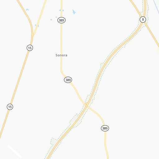
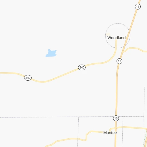
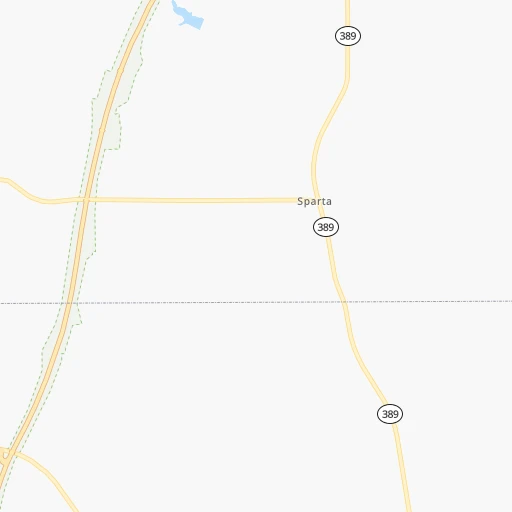
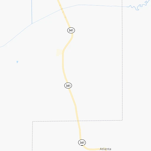
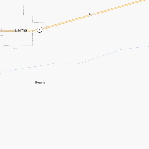
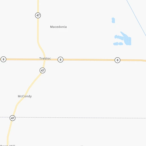
Roadmap (route) to go from Shenandoah Valley Farms Airport to Pascagoula detailed above, you can also see the course layout on the map.
While doing trip Shenandoah Valley Farms (airport) - Pascagoula by car, the calculated route ends at a distance , or more straight.
Distance and duration of the route between Shenandoah Valley Farms (airport) and Pascagoula
Calculation of distance and route from Pascagoula to Shenandoah Valley Farms (airport) :
384.3431.6 km6h1mn
Continue onto County Road 78 0h3mn 1.7 kmTurn left onto MS 15 0h27mn 29.4 kmKeep right onto MS 15 0h2mn 1.8 kmTurn left onto Horton Street 1h47mn 51.5 kmKeep right onto MS 15 1h33mn 35.8 kmTurn left onto County Road 561 0h5mn 5.1 kmTurn left onto Main Street 0h0mn 208 mTurn right onto Holland Avenue 1h56mn 61.5 kmTurn right onto 23rd Avenue 0h0mn 360 mTurn left onto Front Street 0h0mn 120 mTurn right onto 22nd Avenue 0h6mn 7.1 kmKeep right 1h9mn 105.1 kmKeep right onto MS 57 2h42mn 119.7 kmKeep right 0h0mn 115 mContinue onto Old Saracennia Road 0h1mn 755 mTurn left onto MS 613 0h10mn 10.6 kmTurn left onto Pascagoula Street 0h1mn 630 mTurn sharp left 0h0mn 40 mArrive at destination 0h0mn 0 m
Travel from Shenandoah Valley Farms (airport) (Mississippi) to a selection of major cities.
Distances from Shenandoah Valley Farms Airport to biggest cities in Mississippi
- Pascagoula,22,126 inhabitants.385 km
Other major cities in country :
- Charlotte [NC], 827,097 inhabitants. 767 km
- Seattle [WA], 684,451 inhabitants. 3,169 km
- Denver [CO], 682,545 inhabitants. 1,566 km
- El Paso [TX], 681,124 inhabitants. 1,648 km
- Detroit [MI], 677,116 inhabitants. 1,084 km
- Boston [MA], 667,137 inhabitants. 1,834 km
- Memphis [TN], 655,770 inhabitants. 177 km
- New South Memphis [TN], 641,608 inhabitants. 172 km
- Portland [OR], 632,309 inhabitants. 3,135 km
- Oklahoma City [OK], 631,346 inhabitants. 799 km
- Las Vegas [NV], 623,747 inhabitants. 2,389 km
- Baltimore [MD], 621,849 inhabitants. 1,265 km
- Washington, D.C. [DC], 601,723 inhabitants. 1,214 km
- Milwaukee [WI], 600,155 inhabitants. 1,033 km
- South Boston [MA], 571,281 inhabitants. 1,834 km
- Albuquerque [NM], 559,121 inhabitants. 1,622 km
- Tucson [AZ], 531,641 inhabitants. 2,048 km
- Nashville [TN], 530,852 inhabitants. 333 km
- Fresno [CA], 520,052 inhabitants. 2,801 km
- Sacramento [CA], 490,712 inhabitants. 2,949 km
Route from Pascagoula to major cities (United States).
- Distance Pascagoula New York City1,746 km
- Distance Pascagoula Los Angeles2,816 km
- Distance Pascagoula Chicago1,281 km
- Distance Pascagoula Brooklyn1,746 km
- Distance Pascagoula Houston659 km
- Distance Pascagoula Queens1,755 km
- Distance Pascagoula Philadelphia1,617 km
- Distance Pascagoula Phoenix2,244 km
- Distance Pascagoula Manhattan1,753 km
- Distance Pascagoula San Antonio964 km
- Distance Pascagoula San Diego2,719 km
- Distance Pascagoula The Bronx1,765 km
- Distance Pascagoula Dallas827 km
- Distance Pascagoula San Jose3,161 km
- Distance Pascagoula Austin883 km
- Distance Pascagoula Jacksonville663 km
- Distance Pascagoula San Francisco3,211 km
- Distance Pascagoula Columbus1,181 km
- Distance Pascagoula Fort Worth872 km
- Distance Pascagoula Indianapolis1,069 km
Nearest cities to Shenandoah Valley Farms (airport) :
- Memphis, 655,770 inhabitants. 177 km
- New South Memphis, 641,608 inhabitants. 172 km
- Nashville, 530,852 inhabitants. 333 km
- Birmingham, 212,461 inhabitants. 208 km
- Montgomery, 200,602 inhabitants. 300 km
- Huntsville, 190,582 inhabitants. 247 km
- Jackson, 170,674 inhabitants. 199 km
- Clarksville, 149,176 inhabitants. 339 km
- Murfreesboro, 126,118 inhabitants. 331 km
- Tuscaloosa, 98,332 inhabitants. 150 km
- Hoover, 84,848 inhabitants. 210 km
- Jonesboro, 73,907 inhabitants. 274 km
- Franklin, 72,639 inhabitants. 308 km
- Jackson, 66,975 inhabitants. 203 km
- Bartlett, 58,579 inhabitants. 175 km
- Hendersonville, 56,018 inhabitants. 355 km
- Decatur, 55,437 inhabitants. 208 km
- Southaven, 52,589 inhabitants. 160 km
- Collierville, 48,863 inhabitants. 150 km
- Madison, 46,962 inhabitants. 232 km
- Hattiesburg, 46,805 inhabitants. 277 km
- Smyrna, 46,607 inhabitants. 334 km
- Pine Bluff, 44,772 inhabitants. 279 km
- Brentwood, 41,763 inhabitants. 322 km
- Florence, 40,026 inhabitants. 166 km
- Meridian, 39,661 inhabitants. 163 km
- Germantown, 39,240 inhabitants. 160 km
- Columbia, 36,800 inhabitants. 272 km
- Spring Hill, 36,055 inhabitants. 289 km
- Olive Branch, 36,010 inhabitants. 149 km
- East Florence, 35,733 inhabitants. 169 km
- Tupelo, 35,680 inhabitants. 59 km
- Prattville, 35,420 inhabitants. 282 km
- La Vergne, 34,794 inhabitants. 332 km
- Gallatin, 34,334 inhabitants. 372 km
- Vestavia Hills, 34,174 inhabitants. 211 km
- Alabaster, 32,707 inhabitants. 214 km
- Greenville, 32,156 inhabitants. 194 km
- Mount Juliet, 31,540 inhabitants. 351 km
- Brentwood Estates, 31,279 inhabitants. 321 km
- Lebanon, 30,262 inhabitants. 366 km
- Paragould, 27,900 inhabitants. 285 km
- Horn Lake, 26,915 inhabitants. 159 km
- Bessemer, 26,730 inhabitants. 197 km
- Pearl, 26,462 inhabitants. 199 km
- Madison, 25,799 inhabitants. 180 km
- Homewood, 25,708 inhabitants. 209 km
- Cabot, 25,587 inhabitants. 304 km
- Starkville, 25,366 inhabitants. 43 km
- Clinton, 25,254 inhabitants. 203 km
Location Shenandoah Valley Farms (airport) (Mississippi) :
| Country flag |  |
| Location | Shenandoah Valley Farms (airport) |
| State | Mississippi |
| County | Chickasaw County |
| Country | United States |
| Country code / ISO 2 | US |
| Latitude | 33.8009800 |
| Longitude | -89.0245400 |
| Altitude | 104 meters |
| Time zone | America/Chicago |
Location Pascagoula (Mississippi) :
| Country flag | |
| Location | Pascagoula |
| State | Mississippi |
| County | Jackson County |
| Country | United States |
| Country code / ISO 2 | US |
| Latitude | 30.3657600 |
| Longitude | -88.5561300 |
| Altitude | 3 meters |
| Time zone | America/Chicago |


