
How to get from Eagles Ridge (airport) (Mississippi) to Starkville (Mississippi)
Calculate route from Eagles Ridge (airport) (Mississippi, United States) to Starkville (Mississippi, United States).
The flight distance (as the crow flies) between Eagles Ridge (airport) and Starkville is 180.5 km.
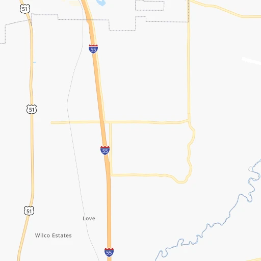
Roadmap (route) to go from Eagles Ridge Airport to Starkville detailed above, you can also see the course layout on the map.
While doing trip Eagles Ridge (airport) - Starkville by car, the calculated route ends at a distance , or more straight.
Distance and duration of the route between Eagles Ridge (airport) and Starkville
Calculation of distance and route from Starkville to Eagles Ridge (airport) :
180.5238.5 km3h18mn
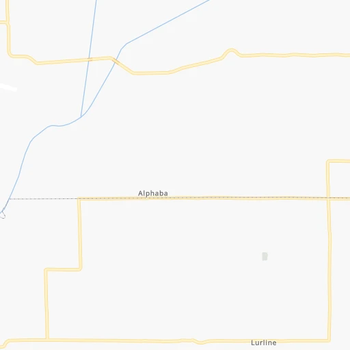
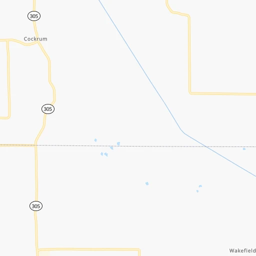
Continue onto Malone Road South 0h5mn 2.6 kmTurn left onto Getwell Road South 0h1mn 755 mTurn right onto Slocum Road 0h5mn 4.3 kmTurn left onto Belmont Road 0h2mn 1.2 kmTurn left onto US 51 0h8mn 8.3 kmTurn left onto MS 306, MS 304 Scenic 0h1mn 1.3 kmTurn right 1h1mn 103.3 kmKeep right onto MS 7 0h0mn 390 mKeep left 0h26mn 28.6 kmTurn right onto Pleasant Grove Road 0h22mn 18.5 kmTurn slight left onto MS 404 0h10mn 9.8 kmContinue onto MS 9 0h12mn 13.3 kmTurn left onto East Roane Avenue 0h4mn 4.3 kmTurn left onto US 82 0h22mn 25.5 kmTurn right onto MS 182 0h12mn 13.1 kmTurn sharp right onto Reed Road 0h0mn 198 mTurn left onto Greensboro Street 0h2mn 986 mTurn right onto Louisville Street 0h1mn 667 mTurn left onto West Wood Street 0h1mn 289 mTurn right onto Pecan Acres Extended 0h0mn 217 mTurn right onto Pecan Acres 0h0mn 53 mTurn right onto MS 12 0h0mn 23 mKeep left 0h1mn 528 mKeep right 0h0mn 65 mTurn right 0h0mn 89 mArrive at destination 0h0mn 0 m
Travel from Eagles Ridge (airport) (Mississippi) to a selection of major cities.
Distances from Eagles Ridge Airport to biggest cities in Mississippi
- Pascagoula,22,126 inhabitants.509 km
Other major cities in country :
- Charlotte [NC], 827,097 inhabitants. 828 km
- Seattle [WA], 684,451 inhabitants. 3,036 km
- Denver [CO], 682,545 inhabitants. 1,441 km
- El Paso [TX], 681,124 inhabitants. 1,577 km
- Detroit [MI], 677,116 inhabitants. 1,029 km
- Boston [MA], 667,137 inhabitants. 1,839 km
- Memphis [TN], 655,770 inhabitants. 41 km
- New South Memphis [TN], 641,608 inhabitants. 35 km
- Portland [OR], 632,309 inhabitants. 3,005 km
- Oklahoma City [OK], 631,346 inhabitants. 696 km
- Las Vegas [NV], 623,747 inhabitants. 2,285 km
- Baltimore [MD], 621,849 inhabitants. 1,282 km
- Washington, D.C. [DC], 601,723 inhabitants. 1,233 km
- Milwaukee [WI], 600,155 inhabitants. 934 km
- South Boston [MA], 571,281 inhabitants. 1,838 km
- Albuquerque [NM], 559,121 inhabitants. 1,526 km
- Tucson [AZ], 531,641 inhabitants. 1,967 km
- Nashville [TN], 530,852 inhabitants. 322 km
- Fresno [CA], 520,052 inhabitants. 2,694 km
- Sacramento [CA], 490,712 inhabitants. 2,836 km
Route from Starkville to major cities (United States).
- Distance Starkville New York City1,541 km
- Distance Starkville Los Angeles2,715 km
- Distance Starkville Chicago941 km
- Distance Starkville Brooklyn1,542 km
- Distance Starkville Houston744 km
- Distance Starkville Queens1,552 km
- Distance Starkville Philadelphia1,415 km
- Distance Starkville Phoenix2,155 km
- Distance Starkville Manhattan1,547 km
- Distance Starkville San Antonio1,022 km
- Distance Starkville San Diego2,637 km
- Distance Starkville The Bronx1,558 km
- Distance Starkville Dallas748 km
- Distance Starkville San Jose3,017 km
- Distance Starkville Austin915 km
- Distance Starkville Jacksonville761 km
- Distance Starkville San Francisco3,062 km
- Distance Starkville Columbus891 km
- Distance Starkville Fort Worth797 km
- Distance Starkville Indianapolis742 km
Nearest cities to Eagles Ridge (airport) :
- Memphis, 655,770 inhabitants. 41 km
- New South Memphis, 641,608 inhabitants. 35 km
- Little Rock, 197,992 inhabitants. 217 km
- Jackson, 170,674 inhabitants. 279 km
- Clarksville, 149,176 inhabitants. 301 km
- Tuscaloosa, 98,332 inhabitants. 280 km
- Jonesboro, 73,907 inhabitants. 137 km
- Jackson, 66,975 inhabitants. 135 km
- North Little Rock, 66,504 inhabitants. 215 km
- Conway, 64,980 inhabitants. 233 km
- Owensboro, 59,042 inhabitants. 416 km
- Bartlett, 58,579 inhabitants. 46 km
- Decatur, 55,437 inhabitants. 269 km
- Southaven, 52,589 inhabitants. 23 km
- Monroe, 49,598 inhabitants. 326 km
- Collierville, 48,863 inhabitants. 36 km
- Pine Bluff, 44,772 inhabitants. 202 km
- Florence, 40,026 inhabitants. 205 km
- Meridian, 39,661 inhabitants. 293 km
- Cape Girardeau, 39,462 inhabitants. 282 km
- Germantown, 39,240 inhabitants. 34 km
- Columbia, 36,800 inhabitants. 277 km
- Spring Hill, 36,055 inhabitants. 291 km
- Olive Branch, 36,010 inhabitants. 20 km
- East Florence, 35,733 inhabitants. 207 km
- Tupelo, 35,680 inhabitants. 126 km
- Benton, 34,177 inhabitants. 246 km
- Hopkinsville, 32,205 inhabitants. 318 km
- Greenville, 32,156 inhabitants. 187 km
- Sherwood, 30,517 inhabitants. 211 km
- Jacksonville, 28,643 inhabitants. 201 km
- Paragould, 27,900 inhabitants. 150 km
- Horn Lake, 26,915 inhabitants. 21 km
- Bessemer, 26,730 inhabitants. 314 km
- Pearl, 26,462 inhabitants. 281 km
- Carbondale, 26,399 inhabitants. 332 km
- Madison, 25,799 inhabitants. 261 km
- Cabot, 25,587 inhabitants. 193 km
- Starkville, 25,366 inhabitants. 181 km
- Clinton, 25,254 inhabitants. 276 km
- West Memphis, 25,052 inhabitants. 46 km
- Athens, 24,966 inhabitants. 269 km
- Paducah, 24,864 inhabitants. 281 km
- Northport, 24,772 inhabitants. 278 km
- Ridgeland, 24,351 inhabitants. 264 km
- Searcy, 24,196 inhabitants. 173 km
- Brandon, 23,529 inhabitants. 281 km
- Columbus, 23,168 inhabitants. 200 km
- Vicksburg, 23,131 inhabitants. 286 km
- Ruston, 22,340 inhabitants. 357 km
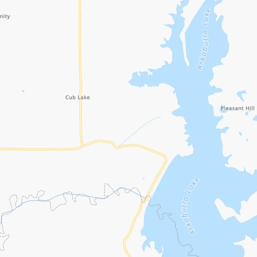
Location Eagles Ridge (airport) (Mississippi) :
| Country flag |  |
| Location | Eagles Ridge (airport) |
| State | Mississippi |
| County | De Soto County |
| Country | United States |
| Country code / ISO 2 | US |
| Latitude | 34.7967200 |
| Longitude | -89.9169800 |
| Altitude | 80 meters |
| Time zone | America/Chicago |
Location Starkville (Mississippi) :
| Country flag | |
| Location | Starkville |
| State | Mississippi |
| County | Oktibbeha County |
| Country | United States |
| Country code / ISO 2 | US |
| Latitude | 33.4504900 |
| Longitude | -88.8196100 |
| Altitude | 101 meters |
| Time zone | America/Chicago |


