

How to get from Benson Airstrip (Texas) to Alice (Texas)
Calculate route from Benson Airstrip (Texas, United States) to Alice (Texas, United States).
The flight distance (as the crow flies) between Benson Airstrip and Alice is 236.9 km.
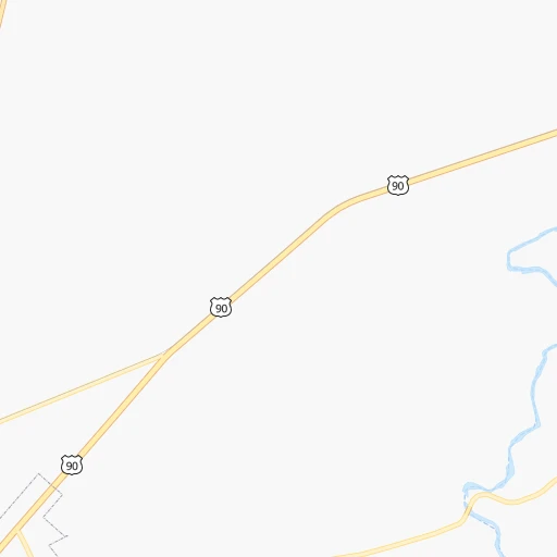
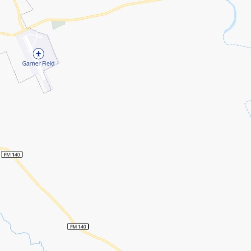
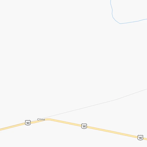
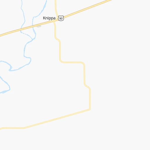
Roadmap (route) to go from Benson Airstrip to Alice detailed above, you can also see the course layout on the map.
While doing trip Benson Airstrip - Alice by car, the calculated route ends at a distance , or more straight.
Distance and duration of the route between Benson Airstrip and Alice
Calculation of distance and route from Alice to Benson Airstrip :
236.9288.7 km4h42mn
Continue onto FM 1052 0h3mn 2.3 kmTurn left onto North Grove Street 0h0mn 146 mTurn right onto West Oppenheimer Street 0h1mn 872 mTurn right onto North Getty Street 1h44mn 44.4 kmKeep left onto FM 117 1h49mn 48.7 kmTurn right onto I 35 Access Road West 0h0mn 187 mKeep left 0h14mn 25.7 kmKeep right and take I 35 Business South toward Cotulla 0h0mn 341 mKeep left and take I 35 Business South toward Cotulla 0h0mn 213 mTurn left onto North Main Street 0h2mn 2.3 kmTurn left onto Thornton Street 0h1mn 495 mTurn right onto Southwest Lane Street 0h0mn 412 mTurn left onto Dobie Road 0h3mn 2.9 kmTurn right onto FM 624 1h16mn 128.3 kmKeep right 0h21mn 24.4 kmKeep right 0h5mn 5.6 kmTurn left onto West 3rd Street 0h1mn 1.2 kmTurn right onto North Cameron Street 0h0mn 109 mTurn left onto East 2nd Street 0h0mn 29 mArrive at destination 0h0mn 0 m
Travel from Benson Airstrip (Texas) to a selection of major cities.
Distances from Benson Airstrip to biggest cities in Texas
- Killeen,140,806 inhabitants.292 km
- McAllen,140,269 inhabitants.371 km
- Carrollton,133,168 inhabitants.501 km
- Midland,132,950 inhabitants.377 km
- Waco,132,356 inhabitants.365 km
- Denton,131,044 inhabitants.513 km
- Abilene,121,721 inhabitants.359 km
- Odessa,118,968 inhabitants.380 km
- Beaumont,118,129 inhabitants.562 km
- Round Rock,115,997 inhabitants.252 km
- Richardson,110,815 inhabitants.509 km
- Pearland,108,821 inhabitants.442 km
- College Station,107,889 inhabitants.371 km
- Wichita Falls,104,710 inhabitants.537 km
- Lewisville,104,039 inhabitants.504 km
- Tyler,103,700 inhabitants.555 km
- San Angelo,100,450 inhabitants.256 km
- Alief,98,725 inhabitants.413 km
- League City,98,312 inhabitants.460 km
- Allen,98,143 inhabitants.526 km
Other major cities in country :
- Memphis [TN], 655,770 inhabitants. 1,132 km
- New South Memphis [TN], 641,608 inhabitants. 1,128 km
- Portland [OR], 632,309 inhabitants. 2,699 km
- Oklahoma City [OK], 631,346 inhabitants. 728 km
- Las Vegas [NV], 623,747 inhabitants. 1,627 km
- Baltimore [MD], 621,849 inhabitants. 2,402 km
- Washington, D.C. [DC], 601,723 inhabitants. 2,352 km
- Milwaukee [WI], 600,155 inhabitants. 1,870 km
- South Boston [MA], 571,281 inhabitants. 2,959 km
- Albuquerque [NM], 559,121 inhabitants. 916 km
- Tucson [AZ], 531,641 inhabitants. 1,113 km
- Nashville [TN], 530,852 inhabitants. 1,443 km
- Fresno [CA], 520,052 inhabitants. 2,037 km
- Sacramento [CA], 490,712 inhabitants. 2,249 km
- Kansas City [MO], 475,378 inhabitants. 1,200 km
- Long Beach [CA], 474,140 inhabitants. 1,812 km
- Mesa [AZ], 471,825 inhabitants. 1,232 km
- Staten Island [NY], 468,730 inhabitants. 2,649 km
- Atlanta [GA], 463,878 inhabitants. 1,548 km
- Colorado Springs [CO], 456,568 inhabitants. 1,164 km
Route from Alice to major cities (United States).
- Distance Alice New York City2,629 km
- Distance Alice Los Angeles2,046 km
- Distance Alice Chicago1,832 km
- Distance Alice Brooklyn2,631 km
- Distance Alice Queens2,641 km
- Distance Alice Philadelphia2,504 km
- Distance Alice Phoenix1,482 km
- Distance Alice Manhattan2,636 km
- Distance Alice San Diego1,915 km
- Distance Alice The Bronx2,647 km
- Distance Alice San Jose2,468 km
- Distance Alice Jacksonville1,622 km
- Distance Alice San Francisco2,527 km
- Distance Alice Columbus1,941 km
- Distance Alice Indianapolis1,730 km
- Distance Alice Charlotte1,831 km
- Distance Alice Seattle3,050 km
- Distance Alice Denver1,479 km
- Distance Alice Detroit2,117 km
- Distance Alice Boston2,930 km
Nearest cities to Benson Airstrip :
- San Antonio, 1,469,845 inhabitants. 131 km
- Austin, 931,830 inhabitants. 232 km
- Corpus Christi, 324,074 inhabitants. 286 km
- Laredo, 255,473 inhabitants. 194 km
- Killeen, 140,806 inhabitants. 292 km
- Midland, 132,950 inhabitants. 377 km
- Waco, 132,356 inhabitants. 365 km
- Odessa, 118,968 inhabitants. 380 km
- Round Rock, 115,997 inhabitants. 252 km
- San Angelo, 100,450 inhabitants. 256 km
- Edinburg, 84,497 inhabitants. 364 km
- Temple, 72,277 inhabitants. 317 km
- New Braunfels, 70,543 inhabitants. 173 km
- Victoria, 67,574 inhabitants. 279 km
- Cedar Park, 65,945 inhabitants. 240 km
- Georgetown, 63,716 inhabitants. 260 km
- San Marcos, 60,684 inhabitants. 197 km
- Pflugerville, 57,122 inhabitants. 252 km
- Schertz, 37,938 inhabitants. 155 km
- Leander, 37,889 inhabitants. 243 km
- Del Rio, 36,153 inhabitants. 105 km
- Kyle, 35,733 inhabitants. 207 km
- Copperas Cove, 33,081 inhabitants. 281 km
- Fort Hood, 29,589 inhabitants. 290 km
- Harker Heights, 29,142 inhabitants. 294 km
- Eagle Pass, 28,765 inhabitants. 87 km
- Seguin, 27,864 inhabitants. 184 km
- Cibolo, 26,637 inhabitants. 159 km
- Kingsville, 26,225 inhabitants. 271 km
- Kerrville, 23,136 inhabitants. 113 km
- Hutto, 22,722 inhabitants. 264 km
- West Odessa, 22,707 inhabitants. 388 km
- Converse, 21,987 inhabitants. 150 km
- Brushy Creek, 21,764 inhabitants. 247 km
- Canyon Lake, 21,262 inhabitants. 168 km
- Belton, 20,547 inhabitants. 305 km
- Stephenville, 20,120 inhabitants. 368 km
- Universal City, 19,986 inhabitants. 153 km
- Alice, 19,408 inhabitants. 237 km
- Brownwood, 19,031 inhabitants. 288 km
- Taylor, 16,702 inhabitants. 277 km
- Uvalde, 16,476 inhabitants. 4 km
- Jollyville, 16,151 inhabitants. 240 km
- Portland, 16,116 inhabitants. 287 km
- Alton, 15,760 inhabitants. 359 km
- Gatesville, 15,724 inhabitants. 317 km
- Live Oak, 15,346 inhabitants. 149 km
- Rio Grande City, 14,404 inhabitants. 332 km
- Hewitt, 14,252 inhabitants. 355 km
- Lakeway, 14,217 inhabitants. 219 km
Location Benson Airstrip (Texas) :
| Country flag |  |
| Location | Benson Airstrip |
| State | Texas |
| County | Uvalde County |
| Country | United States |
| Country code / ISO 2 | US |
| Latitude | 29.2237200 |
| Longitude | -99.8248900 |
| Altitude | 283 meters |
| Time zone | America/Chicago |
Location Alice (Texas) :
| Country flag | |
| Location | Alice |
| State | Texas |
| County | Jim Wells County |
| Country | United States |
| Country code / ISO 2 | US |
| Latitude | 27.7522500 |
| Longitude | -98.0697200 |
| Altitude | 61 meters |
| Time zone | America/Chicago |

