
How to get from Hepner (airport) (Virginia) to Bowie (Maryland)
Calculate route from Hepner (airport) (Virginia, United States) to Bowie (Maryland, United States).
The flight distance (as the crow flies) between Hepner (airport) and Bowie is 156.4 km.
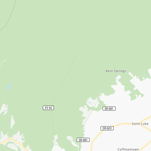
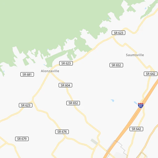
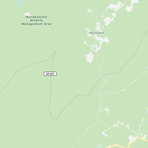
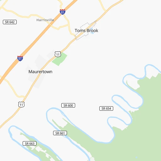
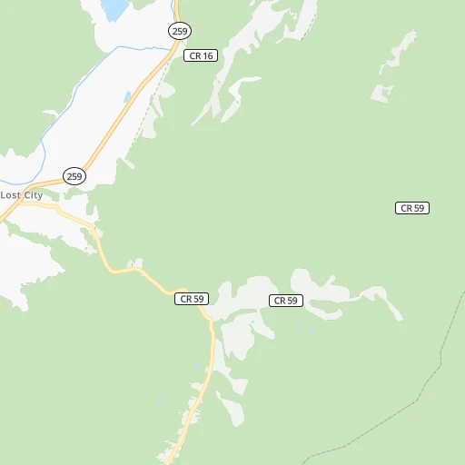
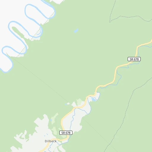
Roadmap (route) to go from Hepner Airport to Bowie detailed above, you can also see the course layout on the map.
While doing trip Hepner (airport) - Bowie by car, the calculated route ends at a distance , or more straight.
Distance and duration of the route between Hepner (airport) and Bowie
Calculation of distance and route from Bowie to Hepner (airport) :
156.4178.1 km2h4mn
Continue onto Alonzaville Road 0h1mn 647 mTurn slight right onto Alonzaville Road 0h1mn 647 mTurn left onto Back Road 0h6mn 5.0 kmTurn right onto Harrisville Road 0h2mn 2.0 kmTurn left onto Country Brook Road 0h2mn 1.2 kmTurn right onto Brook Creek Road 0h0mn 33 mTurn slight left onto Country Brook Road 0h2mn 1.4 kmTurn right onto Mount Olive Road 0h1mn 809 mTurn left 0h9mn 14.2 kmKeep right and take I 66 East toward Front Royal, Washington 1h41mn 69.3 kmKeep left onto I 66 Express Lanes 0h21mn 34.9 kmKeep right 0h0mn 275 mKeep right 0h10mn 13.5 kmKeep right and drive toward Rosslyn, Key Bridge 0h1mn 1.4 kmTurn left onto North Lynn Street 0h1mn 655 mTurn right onto US 29 toward US 29 North 0h1mn 947 mContinue onto Whitehurst Freeway and take US 29 toward K Street 0h0mn 211 mContinue onto K Street Northwest 0h0mn 239 mKeep right 0h0mn 226 mAt roundabout, take exit 4 onto K Street Northwest 0h0mn 474 mContinue onto K Street Northwest 0h1mn 527 mTurn left onto K Street Northwest 0h0mn 18 mTurn right onto K Street Northwest 0h1mn 1.3 kmTurn right onto 9th Street Northwest 0h0mn 47 mTurn left onto K Street Northwest 0h0mn 182 mTurn left onto 7th Street Northwest 0h0mn 95 mTurn right onto New York Avenue Northwest 0h7mn 7.6 kmKeep right onto John Hanson Highway and take US 50 East toward Annapolis, Richmond, Alexandria, Blandensburg 0h12mn 17.9 kmKeep right and take MD 197 toward Bowie 0h1mn 637 mTurn sharp right onto Collington Road 0h1mn 1.3 kmTurn right onto Evergreen Parkway 0h0mn 257 mContinue 0h0mn 35 mTurn sharp right 0h0mn 79 mTurn slight left 0h0mn 33 mArrive at destination 0h0mn 0 m
Travel from Hepner (airport) (Maryland) to a selection of major cities.
Distances from Hepner Airport to biggest cities in Virginia
- Leesburg,51,209 inhabitants.87 km
- McLean,48,115 inhabitants.118 km
- Charlottesville,46,597 inhabitants.101 km
- Tuckahoe,44,990 inhabitants.173 km
- Blacksburg,44,215 inhabitants.251 km
- Ashburn,43,511 inhabitants.92 km
- Danville,42,082 inhabitants.272 km
- Manassas,41,764 inhabitants.95 km
- Lake Ridge,41,058 inhabitants.111 km
- Burke,41,055 inhabitants.111 km
- Annandale,41,008 inhabitants.117 km
- Mechanicsville,36,348 inhabitants.179 km
- Linton Hall,35,725 inhabitants.86 km
- Oakton,34,166 inhabitants.107 km
- Oak Hill,33,811 inhabitants.99 km
- Petersburg,32,477 inhabitants.215 km
- Springfield,30,484 inhabitants.118 km
- West Falls Church,29,207 inhabitants.117 km
- Jefferson,28,487 inhabitants.117 km
- Fredericksburg,28,118 inhabitants.117 km
Other major cities in country :
- Charlotte [NC], 827,097 inhabitants. 461 km
- Seattle [WA], 684,451 inhabitants. 3,626 km
- Denver [CO], 682,545 inhabitants. 2,270 km
- El Paso [TX], 681,124 inhabitants. 2,648 km
- Detroit [MI], 677,116 inhabitants. 536 km
- Boston [MA], 667,137 inhabitants. 737 km
- Memphis [TN], 655,770 inhabitants. 1,105 km
- New South Memphis [TN], 641,608 inhabitants. 1,109 km
- Portland [OR], 632,309 inhabitants. 3,663 km
- Oklahoma City [OK], 631,346 inhabitants. 1,723 km
- Las Vegas [NV], 623,747 inhabitants. 3,223 km
- Baltimore [MD], 621,849 inhabitants. 171 km
- Washington, D.C. [DC], 601,723 inhabitants. 130 km
- Milwaukee [WI], 600,155 inhabitants. 909 km
- South Boston [MA], 571,281 inhabitants. 737 km
- Albuquerque [NM], 559,121 inhabitants. 2,525 km
- Tucson [AZ], 531,641 inhabitants. 3,009 km
- Nashville [TN], 530,852 inhabitants. 790 km
- Fresno [CA], 520,052 inhabitants. 3,602 km
- Sacramento [CA], 490,712 inhabitants. 3,694 km
Route from Bowie to major cities (United States).
- Distance Bowie New York City305 km
- Distance Bowie Los Angeles3,722 km
- Distance Bowie Chicago980 km
- Distance Bowie Brooklyn304 km
- Distance Bowie Houston1,988 km
- Distance Bowie Queens314 km
- Distance Bowie Philadelphia175 km
- Distance Bowie Phoenix3,213 km
- Distance Bowie Manhattan313 km
- Distance Bowie San Antonio2,259 km
- Distance Bowie San Diego3,684 km
- Distance Bowie The Bronx324 km
- Distance Bowie Dallas1,932 km
- Distance Bowie San Jose3,917 km
- Distance Bowie Austin2,147 km
- Distance Bowie Jacksonville1,059 km
- Distance Bowie San Francisco3,948 km
- Distance Bowie Columbus550 km
- Distance Bowie Fort Worth1,978 km
- Distance Bowie Indianapolis816 km
Nearest cities to Hepner (airport) :
- Baltimore, 621,849 inhabitants. 171 km
- Washington, D.C., 601,723 inhabitants. 130 km
- Virginia Beach, 452,745 inhabitants. 323 km
- Pittsburgh, 304,391 inhabitants. 209 km
- Greensboro, 285,342 inhabitants. 337 km
- Durham, 257,636 inhabitants. 329 km
- Norfolk, 246,393 inhabitants. 305 km
- Winston-Salem, 241,218 inhabitants. 350 km
- Chesapeake, 235,429 inhabitants. 308 km
- Richmond, 220,289 inhabitants. 180 km
- Arlington, 207,627 inhabitants. 124 km
- Akron, 197,542 inhabitants. 349 km
- Newport News, 182,385 inhabitants. 275 km
- Alexandria, 153,511 inhabitants. 130 km
- East Hampton, 147,993 inhabitants. 287 km
- Hampton, 136,454 inhabitants. 286 km
- High Point, 110,268 inhabitants. 356 km
- Roanoke, 99,897 inhabitants. 222 km
- Columbia, 99,615 inhabitants. 151 km
- Portsmouth Heights, 99,049 inhabitants. 303 km
- Portsmouth, 96,201 inhabitants. 306 km
- Suffolk, 88,161 inhabitants. 300 km
- Reading, 87,879 inhabitants. 273 km
- Germantown, 86,395 inhabitants. 113 km
- South Suffolk, 80,690 inhabitants. 301 km
- Lynchburg, 79,812 inhabitants. 177 km
- Scranton, 77,118 inhabitants. 368 km
- Wilmington, 71,948 inhabitants. 273 km
- Canton, 71,885 inhabitants. 319 km
- Silver Spring, 71,452 inhabitants. 131 km
- Centreville, 71,135 inhabitants. 97 km
- Frederick, 69,479 inhabitants. 111 km
- Waldorf, 67,752 inhabitants. 143 km
- Glen Burnie, 67,639 inhabitants. 167 km
- Gaithersburg, 67,456 inhabitants. 118 km
- Rockville, 66,980 inhabitants. 121 km
- Dale City, 65,969 inhabitants. 112 km
- Ellicott City, 65,834 inhabitants. 155 km
- West Lynchburg, 65,517 inhabitants. 179 km
- Youngstown, 64,628 inhabitants. 301 km
- Dundalk, 63,597 inhabitants. 178 km
- Bethesda, 60,858 inhabitants. 125 km
- Lancaster, 59,339 inhabitants. 228 km
- Reston, 58,404 inhabitants. 104 km
- Bowie, 58,025 inhabitants. 157 km
- Rocky Mount, 55,806 inhabitants. 340 km
- Towson, 55,197 inhabitants. 175 km
- Harrisonburg, 52,538 inhabitants. 61 km
- Burlington, 52,472 inhabitants. 326 km
- Leesburg, 51,209 inhabitants. 87 km
Location Hepner (airport) (Virginia) :
| Country flag |  |
| Location | Hepner (airport) |
| State | Virginia |
| County | Shenandoah County |
| Country | United States |
| Country code / ISO 2 | US |
| Latitude | 38.9353400 |
| Longitude | -78.5395600 |
| Altitude | 358 meters |
| Time zone | America/New_York |
Location Bowie (Maryland) :
| Country flag | |
| Location | Bowie |
| State | Maryland |
| County | Prince George's County |
| Country | United States |
| Country code / ISO 2 | US |
| Latitude | 38.9427800 |
| Longitude | -76.7302800 |
| Altitude | 42 meters |
| Time zone | America/New_York |


