

How to get from Big T (airport) (Tennessee) to Bowling Green (Kentucky)
Calculate route from Big T (airport) (Tennessee, United States) to Bowling Green (Kentucky, United States).
The flight distance (as the crow flies) between Big T (airport) and Bowling Green is 229.0 km.
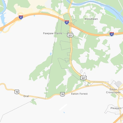
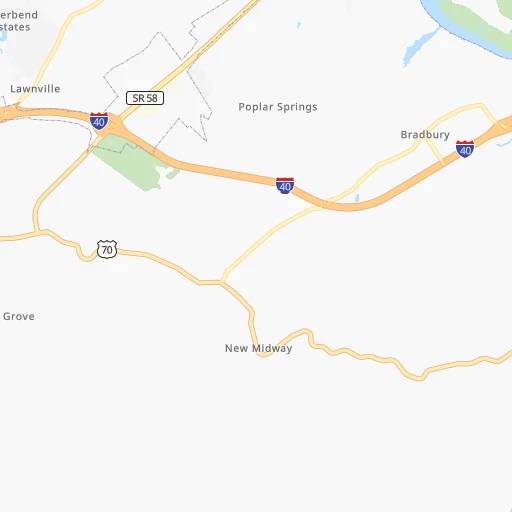
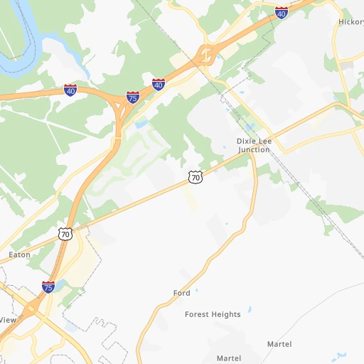
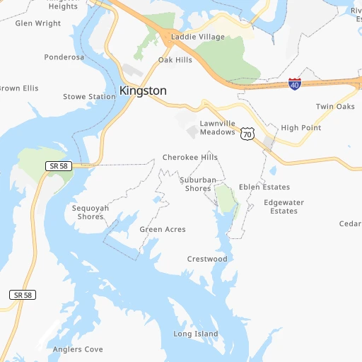
Roadmap (route) to go from Big T Airport to Bowling Green detailed above, you can also see the course layout on the map.
While doing trip Big T (airport) - Bowling Green by car, the calculated route ends at a distance , or more straight.
Distance and duration of the route between Big T (airport) and Bowling Green
Calculation of distance and route from Bowling Green to Big T (airport) :
229.0276.4 km4h49mn
Continue 0h1mn 484 mTurn sharp left onto Carters Chapel Road 0h4mn 1.8 kmTurn slight left onto Kingston Pike 0h10mn 10.9 kmTurn right onto Old Poplar Springs Road 0h0mn 85 mTurn left onto Ladd Ridge Road 0h1mn 548 mTurn left onto Ladd Ridge Road 0h0mn 69 mTurn right onto Ladd Ridge Road 0h2mn 831 mTurn slight right onto Ladd Road 0h1mn 438 mKeep right onto Gallaher Road 0h1mn 661 mTurn left 0h0mn 17 mTurn slight left 1h3mn 106.5 kmKeep right and take US 70N toward Cookeville 0h0mn 372 mKeep right and take US 70N toward Cookeville 0h5mn 5.6 kmTurn right onto South Jefferson Avenue 0h0mn 85 mTurn left onto East Broad Street 0h0mn 131 mTurn right onto North Dixie Avenue 0h2mn 1.8 kmTurn left onto West 12th Street 0h14mn 14.0 kmTurn right onto South Grundy Quarles Memorial Highway 0h12mn 13.4 kmTurn left onto Old SR 56 South Main Street 0h1mn 450 mKeep left onto South Union Street 0h1mn 296 mTurn left onto West Hull Avenue 0h1mn 886 mTurn sharp right onto Gladdice Highway 0h10mn 11.4 kmTurn right onto Wartrace Highway 0h29mn 29.1 kmTurn left onto SR 52 0h5mn 6.1 kmTurn right onto Red Boiling Springs Road 0h0mn 381 mTurn right onto Public Square 0h0mn 28 mAt roundabout, take exit 3 onto Public Square 0h0mn 99 mContinue onto Scottsville Road 0h15mn 14.9 kmTurn left onto Isom Bradley Road 0h14mn 13.9 kmTurn left onto Holland Road 0h3mn 3.4 kmTurn left onto East Main Street 0h0mn 496 mTurn right onto Smiths Grove Road 0h0mn 103 mTurn left onto West Cherry Street 0h1mn 1.2 kmTurn right onto Bowling Green Road 0h1mn 1.0 kmTurn slight right onto US 231 0h29mn 34.9 kmTurn right onto State Street 0h0mn 107 mTurn right 0h0mn 19 mTurn right 0h0mn 37 mArrive at destination 0h0mn 0 m
Travel from Big T (airport) (Kentucky) to a selection of major cities.
Distances from Big T Airport to biggest cities in Tennessee
- Spring Hill,36,055 inhabitants.235 km
- La Vergne,34,794 inhabitants.204 km
- Gallatin,34,334 inhabitants.200 km
- Cookeville,32,113 inhabitants.112 km
- Mount Juliet,31,540 inhabitants.201 km
- Brentwood Estates,31,279 inhabitants.222 km
- Lebanon,30,262 inhabitants.182 km
- Morristown,29,478 inhabitants.103 km
- Oak Ridge,29,302 inhabitants.21 km
- Maryville,28,464 inhabitants.33 km
- Bristol,26,666 inhabitants.211 km
- Farragut,21,919 inhabitants.17 km
- Shelbyville,21,317 inhabitants.196 km
- East Ridge,20,979 inhabitants.123 km
Other major cities in country :
- Charlotte [NC], 827,097 inhabitants. 323 km
- Seattle [WA], 684,451 inhabitants. 3,377 km
- Denver [CO], 682,545 inhabitants. 1,864 km
- El Paso [TX], 681,124 inhabitants. 2,094 km
- Detroit [MI], 677,116 inhabitants. 733 km
- Boston [MA], 667,137 inhabitants. 1,355 km
- Portland [OR], 632,309 inhabitants. 3,376 km
- Oklahoma City [OK], 631,346 inhabitants. 1,193 km
- Las Vegas [NV], 623,747 inhabitants. 2,763 km
- Baltimore [MD], 621,849 inhabitants. 782 km
- Washington, D.C. [DC], 601,723 inhabitants. 730 km
- Milwaukee [WI], 600,155 inhabitants. 859 km
- South Boston [MA], 571,281 inhabitants. 1,355 km
- Albuquerque [NM], 559,121 inhabitants. 2,021 km
- Tucson [AZ], 531,641 inhabitants. 2,479 km
- Fresno [CA], 520,052 inhabitants. 3,164 km
- Sacramento [CA], 490,712 inhabitants. 3,287 km
- Kansas City [MO], 475,378 inhabitants. 975 km
- Long Beach [CA], 474,140 inhabitants. 3,088 km
- Mesa [AZ], 471,825 inhabitants. 2,524 km
Route from Bowling Green to major cities (United States).
- Distance Bowling Green New York City1,154 km
- Distance Bowling Green Los Angeles2,886 km
- Distance Bowling Green Chicago551 km
- Distance Bowling Green Brooklyn1,156 km
- Distance Bowling Green Houston1,154 km
- Distance Bowling Green Queens1,167 km
- Distance Bowling Green Philadelphia1,036 km
- Distance Bowling Green Phoenix2,357 km
- Distance Bowling Green Manhattan1,159 km
- Distance Bowling Green San Antonio1,401 km
- Distance Bowling Green San Diego2,834 km
- Distance Bowling Green The Bronx1,170 km
- Distance Bowling Green Dallas1,055 km
- Distance Bowling Green San Jose3,126 km
- Distance Bowling Green Austin1,286 km
- Distance Bowling Green Jacksonville863 km
- Distance Bowling Green San Francisco3,164 km
- Distance Bowling Green Columbus447 km
- Distance Bowling Green Fort Worth1,100 km
- Distance Bowling Green Indianapolis310 km
Nearest cities to Big T (airport) :
- Nashville, 530,852 inhabitants. 224 km
- Atlanta, 463,878 inhabitants. 231 km
- Lexington-Fayette, 314,488 inhabitants. 248 km
- Meads, 288,649 inhabitants. 322 km
- Ironville, 288,649 inhabitants. 327 km
- Louisville, 243,639 inhabitants. 299 km
- Lexington, 225,366 inhabitants. 241 km
- Birmingham, 212,461 inhabitants. 342 km
- Huntsville, 190,582 inhabitants. 239 km
- Knoxville, 185,291 inhabitants. 40 km
- Chattanooga, 176,588 inhabitants. 124 km
- East Chattanooga, 154,024 inhabitants. 119 km
- Murfreesboro, 126,118 inhabitants. 186 km
- Athens, 116,714 inhabitants. 225 km
- Sandy Springs, 105,330 inhabitants. 212 km
- Roswell, 94,501 inhabitants. 201 km
- Macon, 91,351 inhabitants. 339 km
- Asheville, 88,512 inhabitants. 163 km
- Hoover, 84,848 inhabitants. 353 km
- Johns Creek, 83,335 inhabitants. 200 km
- Franklin, 72,639 inhabitants. 229 km
- Johnson City, 66,027 inhabitants. 186 km
- Greenville, 64,579 inhabitants. 207 km
- Alpharetta, 63,693 inhabitants. 195 km
- Bowling Green, 63,616 inhabitants. 229 km
- Marietta, 59,067 inhabitants. 210 km
- Owensboro, 59,042 inhabitants. 329 km
- Smyrna, 56,146 inhabitants. 217 km
- Hendersonville, 56,018 inhabitants. 213 km
- Decatur, 55,437 inhabitants. 277 km
- Kingsport, 53,014 inhabitants. 178 km
- Brookhaven, 51,910 inhabitants. 219 km
- Stonecrest, 50,000 inhabitants. 236 km
- Charleston, 49,736 inhabitants. 369 km
- Dunwoody, 48,733 inhabitants. 209 km
- Huntington, 48,638 inhabitants. 334 km
- Madison, 46,962 inhabitants. 253 km
- Jeffersonville, 46,960 inhabitants. 300 km
- Smyrna, 46,607 inhabitants. 198 km
- Cleveland, 43,898 inhabitants. 89 km
- Augusta, 43,459 inhabitants. 340 km
- Brentwood, 41,763 inhabitants. 222 km
- Peachtree Corners, 40,978 inhabitants. 207 km
- North Atlanta, 40,456 inhabitants. 218 km
- Hickory, 40,374 inhabitants. 270 km
- Gainesville, 38,712 inhabitants. 176 km
- Spartanburg, 37,867 inhabitants. 239 km
- Milton, 37,547 inhabitants. 189 km
- Newnan, 37,291 inhabitants. 276 km
- Mableton, 37,115 inhabitants. 225 km
Location Big T (airport) (Tennessee) :
| Country flag |  |
| Location | Big T (airport) |
| State | Tennessee |
| County | Loudon County |
| Country | United States |
| Country code / ISO 2 | US |
| Latitude | 35.8267300 |
| Longitude | -84.3305900 |
| Altitude | 267 meters |
| Time zone | America/New_York |
Location Bowling Green (Kentucky) :
| Country flag | |
| Location | Bowling Green |
| State | Kentucky |
| County | Warren County |
| Country | United States |
| Country code / ISO 2 | US |
| Latitude | 36.9903200 |
| Longitude | -86.4436000 |
| Altitude | 161 meters |
| Time zone | America/Chicago |


