
How to get from Landing at River's Edge (airport) (Tennessee) to Smyrna (Tennessee)
Calculate route from Landing at River's Edge (airport) (Tennessee, United States) to Smyrna (Tennessee, United States).
The flight distance (as the crow flies) between Landing at River's Edge (airport) and Smyrna is 262.4 km.
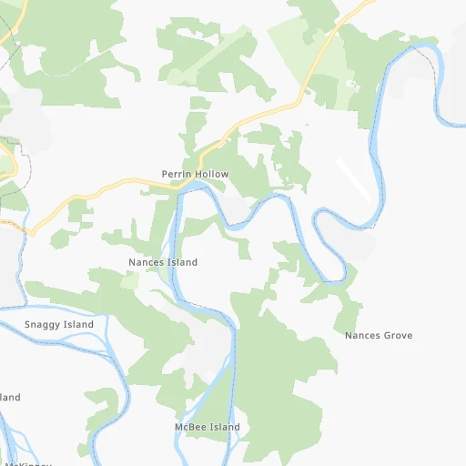
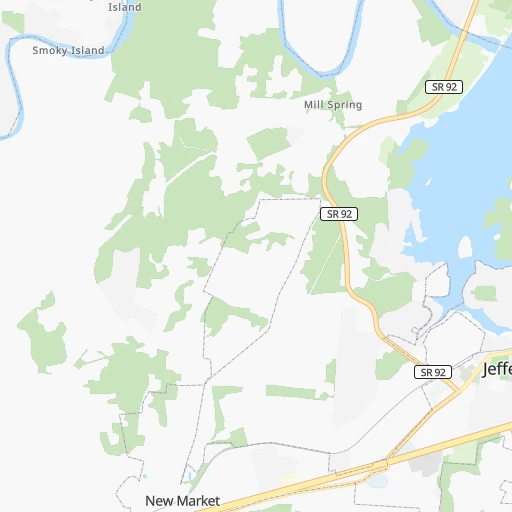
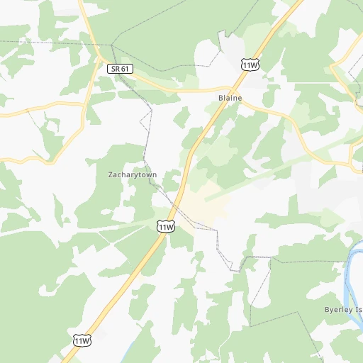
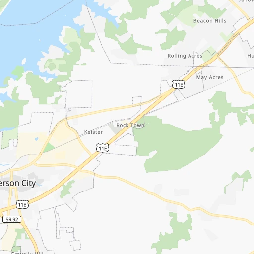
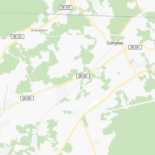
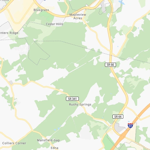
Roadmap (route) to go from Landing at River's Edge Airport to Smyrna detailed above, you can also see the course layout on the map.
While doing trip Landing at River's Edge (airport) - Smyrna by car, the calculated route ends at a distance , or more straight.
Distance and duration of the route between Landing at River's Edge (airport) and Smyrna
Calculation of distance and route from Smyrna to Landing at River's Edge (airport) :
262.4322.9 km4h35mn
Continue onto Clubhouse Drive 0h0mn 59 mTurn left 0h0mn 30 mTurn left onto Clubhouse Drive 0h1mn 430 mTurn right 0h0mn 31 mTurn right onto Clubhouse Drive 0h1mn 599 mTurn slight right onto Stone Road 0h1mn 539 mTurn left onto New Corinth Road 0h2mn 800 mTurn sharp left onto Indian Ridge Road 0h7mn 5.7 kmTurn sharp right onto Indian Cave Road 0h5mn 4.2 kmTurn left onto Rutledge Pike 0h20mn 23.1 kmKeep right 0h25mn 38.5 kmKeep right onto I 40 and drive toward Nashville 2h6mn 213.3 kmKeep right and take I 840 West toward Memphis, Murfreesboro 0h15mn 25.5 kmKeep right and take SR 266 toward Smyrna 0h1mn 606 mTurn right onto West Jefferson Pike 0h5mn 5.8 kmTurn left onto Nissan Drive 0h1mn 1.1 kmTurn right onto Sam Davis Road 0h5mn 2.3 kmKeep left onto Sam Davis Road 0h0mn 161 mTurn right onto Jefferson Street 0h0mn 118 mTurn right onto 2nd Street 0h0mn 24 mArrive at destination 0h0mn 0 m
Travel from Landing at River's Edge (airport) (Tennessee) to a selection of major cities.
Distances from Landing at River's Edge Airport to biggest cities in Tennessee
- Spring Hill,36,055 inhabitants.303 km
- La Vergne,34,794 inhabitants.268 km
- Gallatin,34,334 inhabitants.257 km
- Cookeville,32,113 inhabitants.171 km
- Mount Juliet,31,540 inhabitants.262 km
- Brentwood Estates,31,279 inhabitants.286 km
- Lebanon,30,262 inhabitants.242 km
- Morristown,29,478 inhabitants.29 km
- Oak Ridge,29,302 inhabitants.62 km
- Maryville,28,464 inhabitants.54 km
- Bristol,26,666 inhabitants.136 km
- Farragut,21,919 inhabitants.57 km
- Shelbyville,21,317 inhabitants.268 km
- East Ridge,20,979 inhabitants.195 km
Other major cities in country :
- Charlotte [NC], 827,097 inhabitants. 270 km
- Seattle [WA], 684,451 inhabitants. 3,411 km
- Denver [CO], 682,545 inhabitants. 1,914 km
- El Paso [TX], 681,124 inhabitants. 2,163 km
- Detroit [MI], 677,116 inhabitants. 690 km
- Boston [MA], 667,137 inhabitants. 1,282 km
- Portland [OR], 632,309 inhabitants. 3,414 km
- Oklahoma City [OK], 631,346 inhabitants. 1,257 km
- Las Vegas [NV], 623,747 inhabitants. 2,821 km
- Baltimore [MD], 621,849 inhabitants. 708 km
- Washington, D.C. [DC], 601,723 inhabitants. 655 km
- Milwaukee [WI], 600,155 inhabitants. 851 km
- South Boston [MA], 571,281 inhabitants. 1,281 km
- Albuquerque [NM], 559,121 inhabitants. 2,084 km
- Tucson [AZ], 531,641 inhabitants. 2,545 km
- Fresno [CA], 520,052 inhabitants. 3,220 km
- Sacramento [CA], 490,712 inhabitants. 3,340 km
- Kansas City [MO], 475,378 inhabitants. 1,021 km
- Long Beach [CA], 474,140 inhabitants. 3,150 km
- Mesa [AZ], 471,825 inhabitants. 2,589 km
Route from Smyrna to major cities (United States).
- Distance Smyrna New York City1,211 km
- Distance Smyrna Los Angeles2,888 km
- Distance Smyrna Chicago660 km
- Distance Smyrna Brooklyn1,213 km
- Distance Smyrna Houston1,078 km
- Distance Smyrna Queens1,223 km
- Distance Smyrna Philadelphia1,089 km
- Distance Smyrna Phoenix2,349 km
- Distance Smyrna Manhattan1,217 km
- Distance Smyrna San Antonio1,337 km
- Distance Smyrna San Diego2,828 km
- Distance Smyrna The Bronx1,228 km
- Distance Smyrna Dallas1,009 km
- Distance Smyrna San Jose3,144 km
- Distance Smyrna Austin1,223 km
- Distance Smyrna Jacksonville775 km
- Distance Smyrna San Francisco3,183 km
- Distance Smyrna Columbus540 km
- Distance Smyrna Fort Worth1,056 km
- Distance Smyrna Indianapolis423 km
Nearest cities to Landing at River's Edge (airport) :
- Charlotte, 827,097 inhabitants. 270 km
- Atlanta, 463,878 inhabitants. 276 km
- Lexington-Fayette, 314,488 inhabitants. 225 km
- Cincinnati, 296,943 inhabitants. 342 km
- Meads, 288,649 inhabitants. 265 km
- Ironville, 288,649 inhabitants. 270 km
- Louisville, 243,639 inhabitants. 303 km
- Lexington, 225,366 inhabitants. 219 km
- Huntsville, 190,582 inhabitants. 313 km
- Knoxville, 185,291 inhabitants. 35 km
- Chattanooga, 176,588 inhabitants. 197 km
- East Chattanooga, 154,024 inhabitants. 191 km
- Columbia, 133,803 inhabitants. 334 km
- Murfreesboro, 126,118 inhabitants. 253 km
- Athens, 116,714 inhabitants. 244 km
- Sandy Springs, 105,330 inhabitants. 257 km
- Roswell, 94,501 inhabitants. 246 km
- Asheville, 88,512 inhabitants. 112 km
- Johns Creek, 83,335 inhabitants. 242 km
- Gastonia, 74,543 inhabitants. 240 km
- Rock Hill, 71,548 inhabitants. 270 km
- Johnson City, 66,027 inhabitants. 114 km
- Greenville, 64,579 inhabitants. 181 km
- Alpharetta, 63,693 inhabitants. 239 km
- Bowling Green, 63,616 inhabitants. 271 km
- Marietta, 59,067 inhabitants. 259 km
- Smyrna, 56,146 inhabitants. 265 km
- Kingsport, 53,014 inhabitants. 104 km
- Huntersville, 52,704 inhabitants. 262 km
- Brookhaven, 51,910 inhabitants. 263 km
- Stonecrest, 50,000 inhabitants. 275 km
- Charleston, 49,736 inhabitants. 301 km
- Dunwoody, 48,733 inhabitants. 254 km
- Huntington, 48,638 inhabitants. 273 km
- Jeffersonville, 46,960 inhabitants. 304 km
- Smyrna, 46,607 inhabitants. 263 km
- Kannapolis, 46,144 inhabitants. 279 km
- Cleveland, 43,898 inhabitants. 159 km
- Augusta, 43,459 inhabitants. 333 km
- Covington, 40,997 inhabitants. 337 km
- Peachtree Corners, 40,978 inhabitants. 249 km
- North Atlanta, 40,456 inhabitants. 262 km
- Hickory, 40,374 inhabitants. 209 km
- Gainesville, 38,712 inhabitants. 207 km
- Spartanburg, 37,867 inhabitants. 202 km
- Milton, 37,547 inhabitants. 233 km
- Newnan, 37,291 inhabitants. 327 km
- Mableton, 37,115 inhabitants. 274 km
- Indian Trail, 37,073 inhabitants. 291 km
- New Albany, 36,732 inhabitants. 309 km
Location Landing at River's Edge (airport) (Tennessee) :
| Country flag |  |
| Location | Landing at River's Edge (airport) |
| State | Tennessee |
| County | Grainger County |
| Country | United States |
| Country code / ISO 2 | US |
| Latitude | 36.1447200 |
| Longitude | -83.6039300 |
| Altitude | 299 meters |
| Time zone | America/New_York |
Location Smyrna (Tennessee) :
| Country flag | |
| Location | Smyrna |
| State | Tennessee |
| County | Rutherford County |
| Country | United States |
| Country code / ISO 2 | US |
| Latitude | 35.9828400 |
| Longitude | -86.5186000 |
| Altitude | 166 meters |
| Time zone | America/Chicago |


