
How to get from Flaglor (airport) (Tennessee) to Atlanta (Georgia)
Calculate route from Flaglor (airport) (Tennessee, United States) to Atlanta (Georgia, United States).
The flight distance (as the crow flies) between Flaglor (airport) and Atlanta is 305.2 km.
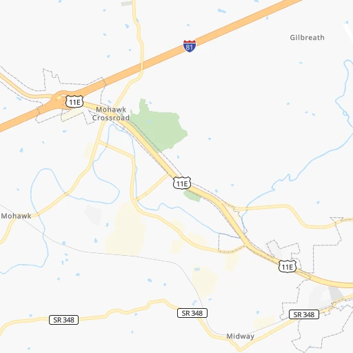
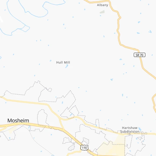
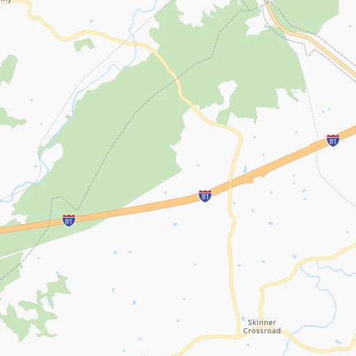
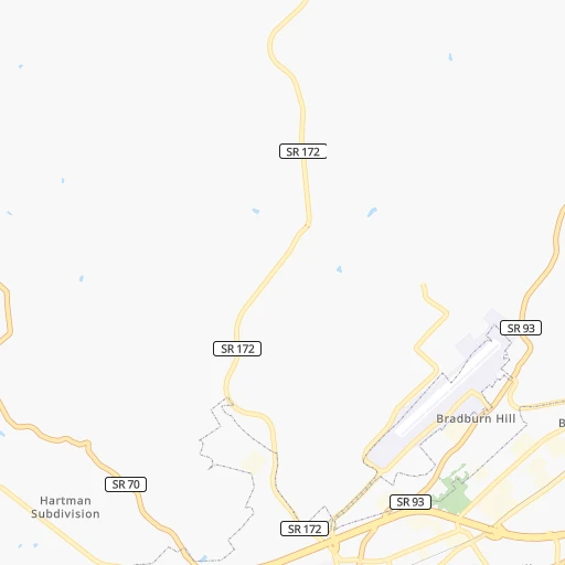
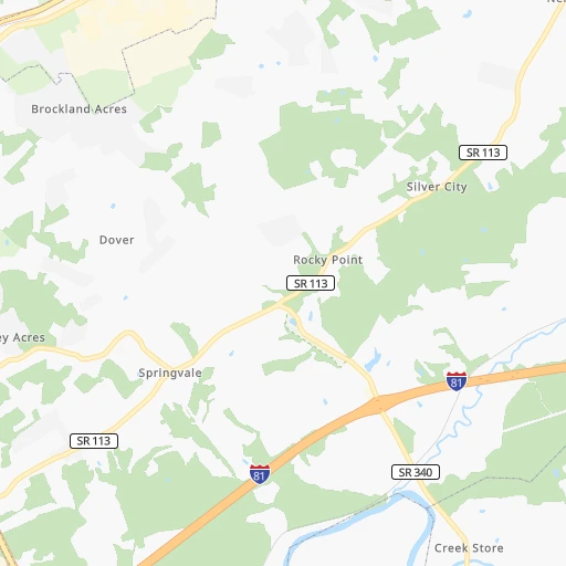
Roadmap (route) to go from Flaglor Airport to Atlanta detailed above, you can also see the course layout on the map.
While doing trip Flaglor (airport) - Atlanta by car, the calculated route ends at a distance , or more straight.
Distance and duration of the route between Flaglor (airport) and Atlanta
Calculation of distance and route from Atlanta to Flaglor (airport) :
305.2401.5 km5h56mn
Continue onto Wisecarver Road 0h2mn 825 mTurn left onto Gilbreath Road 0h0mn 238 mTurn right onto Sterling Drive 0h3mn 1.3 kmTurn slight left onto Carpenters Chapel Road 0h4mn 2.1 kmTurn slight right onto Carpenters Chapel Road 0h1mn 450 mTurn left onto Turner Hill Road 0h2mn 962 mTurn right onto West Andrew Johnson Highway 0h2mn 2.7 kmTurn left 0h14mn 23.5 kmKeep right and take US 25E toward Morristown, Newport 0h0mn 408 mTurn left onto Davy Crockett Parkway 0h19mn 21.0 kmTurn left onto West Broadway Street 0h2mn 1.8 kmTurn sharp right onto Cosby Highway 0h2mn 2.5 kmTurn left 1h46mn 64.9 kmKeep right and take NC 209 toward Lake Junaluska Hot Springs 0h0mn 557 mTurn right onto Crabtree Road 0h5mn 5.2 kmTurn right onto Crabtree Road 0h0mn 284 mKeep right 0h22mn 29.9 kmKeep right onto US 23 Bus and take US 23 BUS toward Cullowhee, Western Carolina University 0h0mn 625 mContinue onto US 23 Business 0h2mn 2.2 kmKeep right 0h0mn 81 mTurn slight right onto West Main Street 0h6mn 3.6 kmTurn sharp left onto US 23, US 441, US 64 Truck 0h19mn 25.6 kmKeep right 0h0mn 315 mContinue onto East Main Street 0h3mn 2.5 kmTurn left onto Porter Street 0h1mn 672 mKeep right 0h0mn 253 mAt roundabout, take exit 2 onto Georgia Road 0h0mn 470 mAt roundabout, take exit 2 onto Georgia Road 1h44mn 55.5 kmKeep left onto US 23, US 441, GA 15 0h2mn 3.4 kmKeep left onto US 23, US 441, GA 15 0h0mn 406 mKeep left onto US 23, US 441, GA 15 0h0mn 769 mKeep left onto US 23, US 441, GA 15 0h0mn 294 mKeep left onto US 23, US 441, GA 15 0h2mn 3.5 kmKeep left onto US 23, US 441, GA 15 0h0mn 495 mKeep left onto US 23, US 441, GA 15 0h1mn 2.3 kmKeep left onto US 23, US 441, GA 15 0h1mn 1.4 kmKeep left onto US 23, US 441, GA 15 0h10mn 16.1 kmKeep right onto Tommy Irwin Parkway 1h56mn 92.7 kmKeep left 0h18mn 29.2 kmKeep right and drive toward Martin Luther King Junior Drive, State Capitol, Turner Field 0h0mn 460 mKeep right 0h0mn 71 mKeep left onto Capitol Square Southwest 0h0mn 165 mTurn right onto Capitol Avenue Southeast 0h0mn 97 mArrive at destination 0h0mn 0 m
Travel from Flaglor (airport) (Georgia) to a selection of major cities.
Distances from Flaglor Airport to biggest cities in Tennessee
- Spring Hill,36,055 inhabitants.361 km
- La Vergne,34,794 inhabitants.326 km
- Gallatin,34,334 inhabitants.312 km
- Cookeville,32,113 inhabitants.228 km
- Mount Juliet,31,540 inhabitants.319 km
- Brentwood Estates,31,279 inhabitants.343 km
- Lebanon,30,262 inhabitants.298 km
- Morristown,29,478 inhabitants.29 km
- Oak Ridge,29,302 inhabitants.120 km
- Maryville,28,464 inhabitants.105 km
- Bristol,26,666 inhabitants.80 km
- Farragut,21,919 inhabitants.114 km
- Shelbyville,21,317 inhabitants.326 km
- East Ridge,20,979 inhabitants.247 km
Other major cities in country :
- Charlotte [NC], 827,097 inhabitants. 223 km
- Seattle [WA], 684,451 inhabitants. 3,453 km
- Denver [CO], 682,545 inhabitants. 1,965 km
- El Paso [TX], 681,124 inhabitants. 2,221 km
- Detroit [MI], 677,116 inhabitants. 678 km
- Boston [MA], 667,137 inhabitants. 1,230 km
- Portland [OR], 632,309 inhabitants. 3,459 km
- Oklahoma City [OK], 631,346 inhabitants. 1,314 km
- Las Vegas [NV], 623,747 inhabitants. 2,876 km
- Baltimore [MD], 621,849 inhabitants. 654 km
- Washington, D.C. [DC], 601,723 inhabitants. 601 km
- Milwaukee [WI], 600,155 inhabitants. 867 km
- South Boston [MA], 571,281 inhabitants. 1,229 km
- Albuquerque [NM], 559,121 inhabitants. 2,140 km
- Tucson [AZ], 531,641 inhabitants. 2,602 km
- Fresno [CA], 520,052 inhabitants. 3,274 km
- Sacramento [CA], 490,712 inhabitants. 3,392 km
- Kansas City [MO], 475,378 inhabitants. 1,070 km
- Long Beach [CA], 474,140 inhabitants. 3,206 km
- Mesa [AZ], 471,825 inhabitants. 2,645 km
Route from Atlanta to major cities (United States).
- Distance Atlanta New York City1,202 km
- Distance Atlanta Los Angeles3,114 km
- Distance Atlanta Chicago946 km
- Distance Atlanta Brooklyn1,201 km
- Distance Atlanta Houston1,129 km
- Distance Atlanta Queens1,211 km
- Distance Atlanta Philadelphia1,072 km
- Distance Atlanta Phoenix2,560 km
- Distance Atlanta Manhattan1,209 km
- Distance Atlanta San Antonio1,420 km
- Distance Atlanta San Diego3,041 km
- Distance Atlanta The Bronx1,220 km
- Distance Atlanta Dallas1,160 km
- Distance Atlanta San Jose3,398 km
- Distance Atlanta Austin1,318 km
- Distance Atlanta Jacksonville459 km
- Distance Atlanta San Francisco3,441 km
- Distance Atlanta Columbus702 km
- Distance Atlanta Fort Worth1,209 km
- Distance Atlanta Indianapolis688 km
Nearest cities to Flaglor (airport) :
- Charlotte, 827,097 inhabitants. 223 km
- Atlanta, 463,878 inhabitants. 306 km
- Lexington-Fayette, 314,488 inhabitants. 241 km
- Cincinnati, 296,943 inhabitants. 349 km
- Meads, 288,649 inhabitants. 243 km
- Ironville, 288,649 inhabitants. 248 km
- Louisville, 243,639 inhabitants. 334 km
- Winston-Salem, 241,218 inhabitants. 245 km
- Lexington, 225,366 inhabitants. 236 km
- Knoxville, 185,291 inhabitants. 91 km
- Chattanooga, 176,588 inhabitants. 250 km
- East Chattanooga, 154,024 inhabitants. 244 km
- Columbia, 133,803 inhabitants. 305 km
- Athens, 116,714 inhabitants. 256 km
- High Point, 110,268 inhabitants. 268 km
- Sandy Springs, 105,330 inhabitants. 288 km
- Roswell, 94,501 inhabitants. 277 km
- Asheville, 88,512 inhabitants. 80 km
- Concord, 87,696 inhabitants. 234 km
- Johns Creek, 83,335 inhabitants. 270 km
- Gastonia, 74,543 inhabitants. 194 km
- Rock Hill, 71,548 inhabitants. 229 km
- Johnson City, 66,027 inhabitants. 56 km
- Greenville, 64,579 inhabitants. 163 km
- Alpharetta, 63,693 inhabitants. 269 km
- Marietta, 59,067 inhabitants. 292 km
- Smyrna, 56,146 inhabitants. 297 km
- Kingsport, 53,014 inhabitants. 50 km
- Huntersville, 52,704 inhabitants. 213 km
- Brookhaven, 51,910 inhabitants. 293 km
- Stonecrest, 50,000 inhabitants. 301 km
- Charleston, 49,736 inhabitants. 263 km
- Dunwoody, 48,733 inhabitants. 284 km
- Huntington, 48,638 inhabitants. 247 km
- Jeffersonville, 46,960 inhabitants. 334 km
- Columbus, 46,690 inhabitants. 420 km
- Kannapolis, 46,144 inhabitants. 228 km
- Blacksburg, 44,215 inhabitants. 253 km
- Cleveland, 43,898 inhabitants. 210 km
- Augusta, 43,459 inhabitants. 321 km
- Covington, 40,997 inhabitants. 345 km
- Peachtree Corners, 40,978 inhabitants. 277 km
- Sumter, 40,816 inhabitants. 352 km
- North Atlanta, 40,456 inhabitants. 292 km
- Hickory, 40,374 inhabitants. 157 km
- Gainesville, 38,712 inhabitants. 229 km
- Spartanburg, 37,867 inhabitants. 171 km
- Milton, 37,547 inhabitants. 264 km
- Newnan, 37,291 inhabitants. 359 km
- Mableton, 37,115 inhabitants. 307 km
Location Flaglor (airport) (Tennessee) :
| Country flag |  |
| Location | Flaglor (airport) |
| State | Tennessee |
| County | Greene County |
| Country | United States |
| Country code / ISO 2 | US |
| Latitude | 36.2376400 |
| Longitude | -82.9697100 |
| Altitude | 334 meters |
| Time zone | America/New_York |
Location Atlanta (Georgia) :
| Country flag | |
| Location | Atlanta |
| State | Georgia |
| County | Fulton County |
| Country | United States |
| Country code / ISO 2 | US |
| Latitude | 33.7490000 |
| Longitude | -84.3879800 |
| Altitude | 320 meters |
| Time zone | America/New_York |


