
Home
››
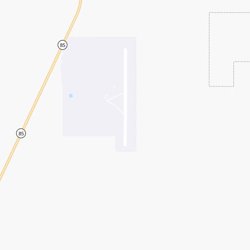
Gila Bend Air Force Auxiliary Airport
››
Roadmap from Gila Bend Air Force Auxiliary Airport to Blythe
How to get from Gila Bend Air Force Auxiliary (airport) (Arizona) to Blythe (California)
Calculate route from Gila Bend Air Force Auxiliary (airport) (Arizona, United States) to Blythe (California, United States).
The flight distance (as the crow flies) between Gila Bend Air Force Auxiliary (airport) and Blythe is 191.7 km.
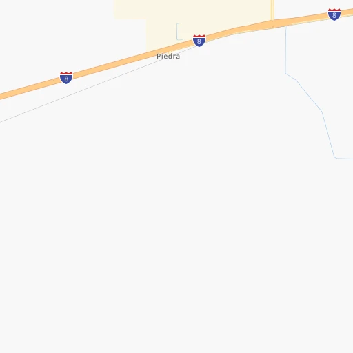
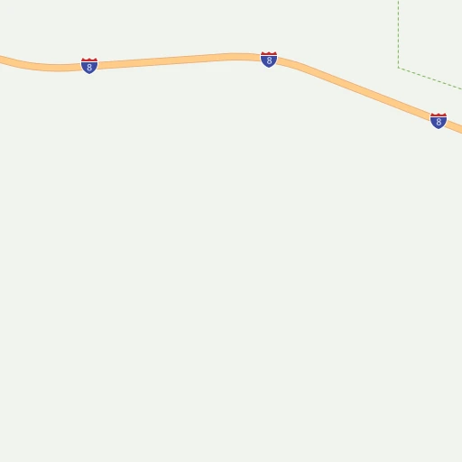
Roadmap (route) to go from Gila Bend Air Force Auxiliary Airport to Blythe detailed above, you can also see the course layout on the map.
While doing trip Gila Bend Air Force Auxiliary (airport) - Blythe by car, the calculated route ends at a distance , or more straight.
Distance and duration of the route between Gila Bend Air Force Auxiliary (airport) and Blythe
Calculation of distance and route from Blythe to Gila Bend Air Force Auxiliary (airport) :
191.7254.4 km3h38mn
Continue onto Front Street 0h0mn 97 mTurn left onto I Street 0h0mn 88 mTurn right onto 1st Street 0h2mn 1.2 kmContinue onto 4th Street 0h3mn 1.4 kmTurn right onto AZ 85 0h4mn 5.3 kmTurn left onto West Pima Street 0h5mn 4.5 kmTurn left onto AZ 85 1h36mn 53.4 kmKeep left and take I 10 West toward Los Angeles 2h43mn 182.2 kmKeep right onto I-10 Truck, US 95 Truck 0h3mn 4.6 kmKeep right 0h0mn 440 mTurn right onto South 7th Street 0h0mn 323 mTurn left onto East Hobsonway 0h1mn 810 mTurn sharp left onto North Broadway 0h0mn 12 mTurn left onto East Hobsonway 0h0mn 43 mArrive at destination 0h0mn 0 m
Travel from Gila Bend Air Force Auxiliary (airport) (California) to a selection of major cities.
Distances from Gila Bend Air Force Auxiliary Airport to biggest cities in Arizona
- Catalina Foothills,50,796 inhabitants.182 km
- Maricopa,48,602 inhabitants.66 km
- Oro Valley,43,565 inhabitants.174 km
- Sierra Vista,43,355 inhabitants.272 km
- Prescott Valley,42,197 inhabitants.196 km
- Prescott,41,899 inhabitants.186 km
- Marana,41,315 inhabitants.149 km
- Bullhead City,39,445 inhabitants.304 km
- Apache Junction,38,074 inhabitants.124 km
- Sun City,37,499 inhabitants.90 km
- Queen Creek,34,614 inhabitants.109 km
- El Mirage,33,935 inhabitants.89 km
- San Luis,31,520 inhabitants.198 km
- Florence,31,110 inhabitants.126 km
- Kingman,28,912 inhabitants.284 km
- Drexel Heights,27,749 inhabitants.180 km
- Fortuna Foothills,26,265 inhabitants.160 km
- Sahuarita,25,707 inhabitants.196 km
- Sun City West,24,535 inhabitants.93 km
- Fountain Hills,23,899 inhabitants.124 km
Other major cities in country :
- Seattle [WA], 684,451 inhabitants. 1,827 km
- Denver [CO], 682,545 inhabitants. 1,031 km
- El Paso [TX], 681,124 inhabitants. 600 km
- Detroit [MI], 677,116 inhabitants. 2,803 km
- Boston [MA], 667,137 inhabitants. 3,781 km
- Memphis [TN], 655,770 inhabitants. 2,103 km
- New South Memphis [TN], 641,608 inhabitants. 2,102 km
- Portland [OR], 632,309 inhabitants. 1,645 km
- Oklahoma City [OK], 631,346 inhabitants. 1,428 km
- Las Vegas [NV], 623,747 inhabitants. 428 km
- Baltimore [MD], 621,849 inhabitants. 3,303 km
- Washington, D.C. [DC], 601,723 inhabitants. 3,266 km
- Milwaukee [WI], 600,155 inhabitants. 2,441 km
- South Boston [MA], 571,281 inhabitants. 3,782 km
- Albuquerque [NM], 559,121 inhabitants. 612 km
- Nashville [TN], 530,852 inhabitants. 2,400 km
- Fresno [CA], 520,052 inhabitants. 774 km
- Sacramento [CA], 490,712 inhabitants. 1,014 km
- Kansas City [MO], 475,378 inhabitants. 1,771 km
- Long Beach [CA], 474,140 inhabitants. 518 km
Route from Blythe to major cities (United States).
- Distance Blythe New York City3,653 km
- Distance Blythe Chicago2,530 km
- Distance Blythe Brooklyn3,658 km
- Distance Blythe Houston1,868 km
- Distance Blythe Queens3,667 km
- Distance Blythe Philadelphia3,556 km
- Distance Blythe Phoenix235 km
- Distance Blythe Manhattan3,656 km
- Distance Blythe San Antonio1,596 km
- Distance Blythe The Bronx3,664 km
- Distance Blythe Dallas1,658 km
- Distance Blythe Austin1,633 km
- Distance Blythe Jacksonville3,119 km
- Distance Blythe Columbus2,888 km
- Distance Blythe Fort Worth1,611 km
- Distance Blythe Indianapolis2,617 km
- Distance Blythe Charlotte3,090 km
- Distance Blythe Seattle1,688 km
- Distance Blythe Denver1,095 km
- Distance Blythe El Paso787 km
Nearest cities to Gila Bend Air Force Auxiliary (airport) :
- Phoenix, 1,563,025 inhabitants. 87 km
- Tucson, 531,641 inhabitants. 184 km
- Mesa, 471,825 inhabitants. 103 km
- Chandler, 260,828 inhabitants. 95 km
- Gilbert, 247,542 inhabitants. 102 km
- Glendale, 240,126 inhabitants. 88 km
- Scottsdale, 236,839 inhabitants. 104 km
- Tempe, 175,826 inhabitants. 96 km
- Peoria, 171,237 inhabitants. 90 km
- Tempe Junction, 158,368 inhabitants. 94 km
- Surprise, 128,422 inhabitants. 91 km
- Yuma, 94,139 inhabitants. 179 km
- San Tan Valley, 81,321 inhabitants. 117 km
- Avondale, 80,684 inhabitants. 70 km
- Goodyear, 79,003 inhabitants. 70 km
- Flagstaff, 70,320 inhabitants. 276 km
- Casas Adobes, 66,795 inhabitants. 174 km
- Lake Havasu City, 53,553 inhabitants. 231 km
- Casa Grande, 51,460 inhabitants. 90 km
- Buckeye, 50,876 inhabitants. 56 km
- Catalina Foothills, 50,796 inhabitants. 182 km
- Maricopa, 48,602 inhabitants. 66 km
- El Centro, 43,956 inhabitants. 266 km
- Oro Valley, 43,565 inhabitants. 174 km
- Sierra Vista, 43,355 inhabitants. 272 km
- Prescott Valley, 42,197 inhabitants. 196 km
- Prescott, 41,899 inhabitants. 186 km
- Marana, 41,315 inhabitants. 149 km
- Calexico, 40,053 inhabitants. 261 km
- Bullhead City, 39,445 inhabitants. 304 km
- Apache Junction, 38,074 inhabitants. 124 km
- Sun City, 37,499 inhabitants. 90 km
- Queen Creek, 34,614 inhabitants. 109 km
- El Mirage, 33,935 inhabitants. 89 km
- San Luis, 31,520 inhabitants. 198 km
- Florence, 31,110 inhabitants. 126 km
- Kingman, 28,912 inhabitants. 284 km
- Drexel Heights, 27,749 inhabitants. 180 km
- Fortuna Foothills, 26,265 inhabitants. 160 km
- Brawley, 25,897 inhabitants. 262 km
- Sahuarita, 25,707 inhabitants. 196 km
- Sun City West, 24,535 inhabitants. 93 km
- Fountain Hills, 23,899 inhabitants. 124 km
- Anthem, 21,700 inhabitants. 122 km
- Green Valley, 21,391 inhabitants. 199 km
- Nogales, 20,252 inhabitants. 241 km
- Blythe, 19,208 inhabitants. 192 km
- Rio Rico, 18,962 inhabitants. 228 km
- Imperial, 17,095 inhabitants. 266 km
- Eloy, 17,059 inhabitants. 110 km
Location Gila Bend Air Force Auxiliary (airport) (Arizona) :
| Country flag |  |
| Location | Gila Bend Air Force Auxiliary (airport) |
| State | Arizona |
| County | Maricopa County |
| Country | United States |
| Country code / ISO 2 | US |
| Latitude | 32.8856700 |
| Longitude | -112.7247800 |
| Altitude | 261 meters |
| Time zone | America/Phoenix |
Location Blythe (California) :
| Country flag | |
| Location | Blythe |
| State | California |
| County | Riverside County |
| Country | United States |
| Country code / ISO 2 | US |
| Latitude | 33.6103000 |
| Longitude | -114.5963500 |
| Altitude | 83 meters |
| Time zone | America/Los_Angeles |


