
How to get from Ward's (airport) (Arkansas) to Paragould (Arkansas)
Calculate route from Ward's (airport) (Arkansas, United States) to Paragould (Arkansas, United States).
The flight distance (as the crow flies) between Ward's (airport) and Paragould is 343.1 km.
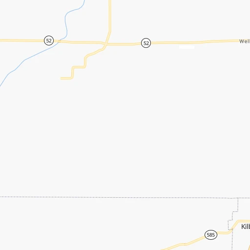
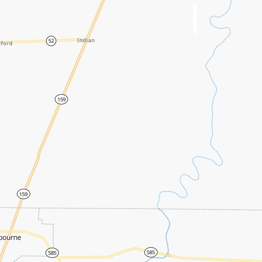
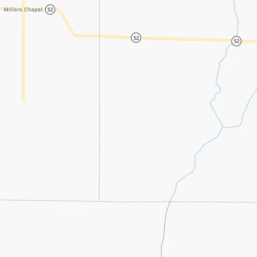
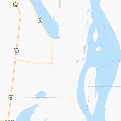
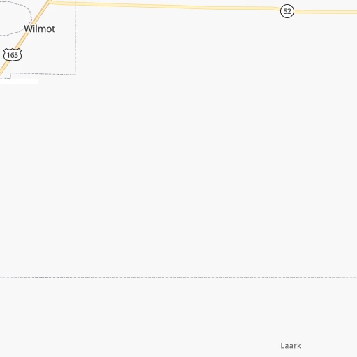
Roadmap (route) to go from Ward's Airport to Paragould detailed above, you can also see the course layout on the map.
While doing trip Ward's (airport) - Paragould by car, the calculated route ends at a distance , or more straight.
Distance and duration of the route between Ward's (airport) and Paragould
Calculation of distance and route from Paragould to Ward's (airport) :
343.1395.8 km6h49mn
Continue onto AR 52 0h5mn 4.6 kmTurn left onto South Archer Street 0h6mn 6.4 kmTurn right onto West Lee Street 0h0mn 524 mTurn right onto East Armstrong Street 0h0mn 395 mTurn left onto US 65, AR 8 0h15mn 19.0 kmTurn left onto US 65, US 82, US 278 1h50mn 72.9 kmKeep right 0h0mn 54 mTurn slight right onto Pickens Street 1h47mn 51.6 kmContinue onto South Jackson Street 0h0mn 368 mTurn left onto South Jackson Street 0h1mn 925 mTurn left onto South Monroe Street 0h12mn 11.8 kmTurn right onto Boston Lane 0h19mn 19.0 kmTurn left onto Boston Lane 0h2mn 1.6 kmTurn right onto Boston Lane 0h14mn 14.3 kmTurn slight right onto US 79, AR 33 0h10mn 11.2 kmTurn left onto South 10th Street 0h1mn 330 mTurn left onto US 79B 0h0mn 138 mTurn right onto North 9th Street 0h1mn 580 mTurn right onto North Street 0h17mn 17.0 kmTurn left onto AR 17 0h0mn 415 mKeep right onto AR 17 0h0mn 131 mTurn slight right onto US 70, AR 17 0h4mn 4.5 kmContinue onto South Main Street 1h42mn 46.4 kmTurn right onto US 49, US 63, US 64 0h0mn 54 mTurn left onto US 49, US 63 1h57mn 62.7 kmTurn right onto Southwest Drive 0h10mn 12.0 kmContinue onto South Main Street 0h3mn 2.7 kmTurn right onto East Johnson Avenue 0h4mn 3.7 kmContinue onto East Johnson Avenue 0h0mn 135 mTurn left onto Red Wolf Boulevard 0h27mn 29.4 kmKeep right 0h0mn 54 mTurn slight right onto West Court Street 0h0mn 336 mTurn left onto North 12th Street 0h0mn 152 mTurn right onto Meriwether 0h1mn 341 mTurn right onto Winchester 0h0mn 195 mArrive at destination 0h0mn 0 m
Travel from Ward's (airport) (Arkansas) to a selection of major cities.
Distances from Ward's Airport to biggest cities in Arkansas
- West Memphis,25,052 inhabitants.256 km
- Searcy,24,196 inhabitants.248 km
- Van Buren,23,081 inhabitants.384 km
Other major cities in country :
- Charlotte [NC], 827,097 inhabitants. 996 km
- Seattle [WA], 684,451 inhabitants. 3,058 km
- Denver [CO], 682,545 inhabitants. 1,429 km
- El Paso [TX], 681,124 inhabitants. 1,430 km
- Detroit [MI], 677,116 inhabitants. 1,264 km
- Boston [MA], 667,137 inhabitants. 2,057 km
- Memphis [TN], 655,770 inhabitants. 262 km
- New South Memphis [TN], 641,608 inhabitants. 256 km
- Portland [OR], 632,309 inhabitants. 3,010 km
- Oklahoma City [OK], 631,346 inhabitants. 629 km
- Las Vegas [NV], 623,747 inhabitants. 2,202 km
- Baltimore [MD], 621,849 inhabitants. 1,492 km
- Washington, D.C. [DC], 601,723 inhabitants. 1,441 km
- Milwaukee [WI], 600,155 inhabitants. 1,152 km
- South Boston [MA], 571,281 inhabitants. 2,057 km
- Albuquerque [NM], 559,121 inhabitants. 1,429 km
- Tucson [AZ], 531,641 inhabitants. 1,836 km
- Nashville [TN], 530,852 inhabitants. 542 km
- Fresno [CA], 520,052 inhabitants. 2,619 km
- Sacramento [CA], 490,712 inhabitants. 2,778 km
Route from Paragould to major cities (United States).
- Distance Paragould New York City1,527 km
- Distance Paragould Los Angeles2,530 km
- Distance Paragould Chicago690 km
- Distance Paragould Brooklyn1,529 km
- Distance Paragould Houston835 km
- Distance Paragould Queens1,540 km
- Distance Paragould Philadelphia1,411 km
- Distance Paragould Phoenix1,991 km
- Distance Paragould Manhattan1,532 km
- Distance Paragould San Antonio1,051 km
- Distance Paragould San Diego2,470 km
- Distance Paragould The Bronx1,542 km
- Distance Paragould Dallas684 km
- Distance Paragould San Jose2,793 km
- Distance Paragould Austin933 km
- Distance Paragould Jacksonville1,041 km
- Distance Paragould San Francisco2,834 km
- Distance Paragould Columbus788 km
- Distance Paragould Fort Worth728 km
- Distance Paragould Indianapolis562 km
Nearest cities to Ward's (airport) :
- Memphis, 655,770 inhabitants. 262 km
- New South Memphis, 641,608 inhabitants. 256 km
- Baton Rouge, 228,590 inhabitants. 290 km
- Little Rock, 197,992 inhabitants. 208 km
- Shreveport, 197,204 inhabitants. 233 km
- Jackson, 170,674 inhabitants. 137 km
- Lafayette, 127,657 inhabitants. 321 km
- Beaumont, 118,129 inhabitants. 421 km
- Lake Charles, 76,070 inhabitants. 362 km
- Jonesboro, 73,907 inhabitants. 316 km
- Gulfport, 71,856 inhabitants. 367 km
- West Gulfport, 71,329 inhabitants. 363 km
- Bossier City, 68,094 inhabitants. 232 km
- Jackson, 66,975 inhabitants. 368 km
- North Little Rock, 66,504 inhabitants. 210 km
- Conway, 64,980 inhabitants. 249 km
- Bartlett, 58,579 inhabitants. 275 km
- Southaven, 52,589 inhabitants. 248 km
- Monroe, 49,598 inhabitants. 95 km
- Collierville, 48,863 inhabitants. 270 km
- Alexandria, 47,889 inhabitants. 220 km
- Hattiesburg, 46,805 inhabitants. 272 km
- Biloxi, 45,637 inhabitants. 376 km
- Pine Bluff, 44,772 inhabitants. 145 km
- Meridian, 39,661 inhabitants. 258 km
- Germantown, 39,240 inhabitants. 267 km
- Texarkana, 37,280 inhabitants. 256 km
- Olive Branch, 36,010 inhabitants. 254 km
- Tupelo, 35,680 inhabitants. 279 km
- Hot Springs, 35,635 inhabitants. 227 km
- Hot Springs National Park, 35,193 inhabitants. 230 km
- Benton, 34,177 inhabitants. 204 km
- Greenville, 32,156 inhabitants. 48 km
- Sherwood, 30,517 inhabitants. 213 km
- Texarkana, 30,353 inhabitants. 255 km
- Laplace, 29,872 inhabitants. 342 km
- Russellville, 29,166 inhabitants. 298 km
- Jacksonville, 28,643 inhabitants. 214 km
- Central, 28,295 inhabitants. 279 km
- Slidell, 27,942 inhabitants. 342 km
- Horn Lake, 26,915 inhabitants. 244 km
- Prairieville, 26,895 inhabitants. 308 km
- Pearl, 26,462 inhabitants. 142 km
- Madison, 25,799 inhabitants. 132 km
- Cabot, 25,587 inhabitants. 223 km
- Starkville, 25,366 inhabitants. 239 km
- Clinton, 25,254 inhabitants. 124 km
- West Memphis, 25,052 inhabitants. 256 km
- Ridgeland, 24,351 inhabitants. 132 km
- Searcy, 24,196 inhabitants. 248 km
Location Ward's (airport) (Arkansas) :
| Country flag |  |
| Location | Ward's (airport) |
| State | Arkansas |
| County | Chicot County |
| Country | United States |
| Country code / ISO 2 | US |
| Latitude | 33.0498300 |
| Longitude | -91.3381500 |
| Altitude | 35 meters |
| Time zone | America/Chicago |
Location Paragould (Arkansas) :
| Country flag | |
| Location | Paragould |
| State | Arkansas |
| County | Greene County |
| Country | United States |
| Country code / ISO 2 | US |
| Latitude | 36.0584000 |
| Longitude | -90.4973300 |
| Altitude | 92 meters |
| Time zone | America/Chicago |
