
How to get from Walls (airport) (Arkansas) to Nacogdoches (Texas)
Calculate route from Walls (airport) (Arkansas, United States) to Nacogdoches (Texas, United States).
The flight distance (as the crow flies) between Walls (airport) and Nacogdoches is 416.0 km.
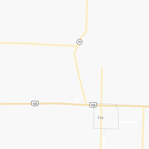
Roadmap (route) to go from Walls Airport to Nacogdoches detailed above, you can also see the course layout on the map.
While doing trip Walls (airport) - Nacogdoches by car, the calculated route ends at a distance , or more straight.
Distance and duration of the route between Walls (airport) and Nacogdoches
Calculation of distance and route from Nacogdoches to Walls (airport) :
416.0515.2 km6h44mn
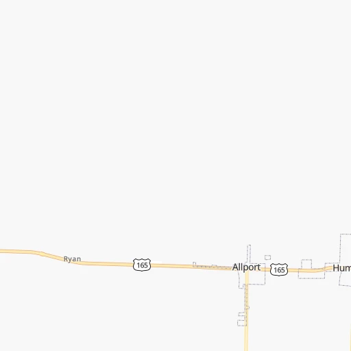
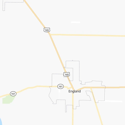
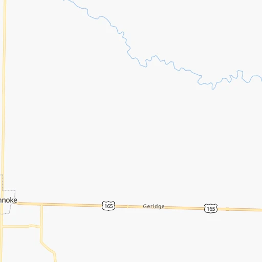
Continue onto AR 31 0h1mn 1.5 kmTurn left onto US 165, Hwy 31 0h8mn 8.8 kmTurn right onto Main Street 0h27mn 29.6 kmTurn left 2h16mn 237.6 kmKeep right onto US 59 and take I 369 South, US 59 South toward Atlanta, Houston, Shreveport 0h4mn 6.4 kmKeep right onto US 59 and take US 59 South, TX 93, FM 3527 toward Houston 0h1mn 574 mKeep right onto US 59 0h0mn 152 mTurn slight right onto South Lake Drive 0h27mn 34.1 kmKeep right onto US 59 and take US 59 South, TX 77 West toward Marshall, Naples 0h9mn 10.1 kmTurn slight right onto US 59 1h50mn 68.8 kmTurn slight right onto East End Boulevard South 0h26mn 35.6 kmTurn right onto County Road 234 0h1mn 491 mTurn right onto Northwest Loop 0h4mn 5.0 kmKeep right onto TX 149 0h0mn 386 mKeep right onto TX 149 0h0mn 78 mTurn right onto TX 315 0h23mn 39.9 kmTurn left onto North Railroad Avenue 0h1mn 1.1 kmTurn right onto South Railroad Avenue 0h26mn 35.2 kmTurn left onto East Main Street 0h0mn 66 mArrive at destination 0h0mn 0 m
Travel from Walls (airport) (Texas) to a selection of major cities.
Distances from Walls Airport to biggest cities in Arkansas
- West Memphis,25,052 inhabitants.169 km
- Searcy,24,196 inhabitants.81 km
- Van Buren,23,081 inhabitants.247 km
Other major cities in country :
- Charlotte [NC], 827,097 inhabitants. 1,010 km
- Seattle [WA], 684,451 inhabitants. 2,914 km
- Denver [CO], 682,545 inhabitants. 1,298 km
- El Paso [TX], 681,124 inhabitants. 1,395 km
- Detroit [MI], 677,116 inhabitants. 1,159 km
- Boston [MA], 667,137 inhabitants. 2,006 km
- Memphis [TN], 655,770 inhabitants. 180 km
- New South Memphis [TN], 641,608 inhabitants. 177 km
- Portland [OR], 632,309 inhabitants. 2,873 km
- Oklahoma City [OK], 631,346 inhabitants. 525 km
- Las Vegas [NV], 623,747 inhabitants. 2,115 km
- Baltimore [MD], 621,849 inhabitants. 1,456 km
- Washington, D.C. [DC], 601,723 inhabitants. 1,408 km
- Milwaukee [WI], 600,155 inhabitants. 1,007 km
- South Boston [MA], 571,281 inhabitants. 2,006 km
- Albuquerque [NM], 559,121 inhabitants. 1,351 km
- Tucson [AZ], 531,641 inhabitants. 1,787 km
- Nashville [TN], 530,852 inhabitants. 496 km
- Fresno [CA], 520,052 inhabitants. 2,527 km
- Sacramento [CA], 490,712 inhabitants. 2,675 km
Route from Nacogdoches to major cities (United States).
- Distance Nacogdoches New York City2,107 km
- Distance Nacogdoches Los Angeles2,218 km
- Distance Nacogdoches Chicago1,300 km
- Distance Nacogdoches Brooklyn2,109 km
- Distance Nacogdoches Queens2,119 km
- Distance Nacogdoches Philadelphia1,984 km
- Distance Nacogdoches Phoenix1,646 km
- Distance Nacogdoches Manhattan2,113 km
- Distance Nacogdoches San Diego2,121 km
- Distance Nacogdoches The Bronx2,124 km
- Distance Nacogdoches San Jose2,570 km
- Distance Nacogdoches Jacksonville1,248 km
- Distance Nacogdoches San Francisco2,622 km
- Distance Nacogdoches Columbus1,403 km
- Distance Nacogdoches Indianapolis1,189 km
- Distance Nacogdoches Charlotte1,344 km
- Distance Nacogdoches Seattle2,941 km
- Distance Nacogdoches Denver1,299 km
- Distance Nacogdoches Detroit1,576 km
- Distance Nacogdoches Boston2,404 km
Nearest cities to Walls (airport) :
- Memphis, 655,770 inhabitants. 180 km
- New South Memphis, 641,608 inhabitants. 177 km
- Little Rock, 197,992 inhabitants. 45 km
- Shreveport, 197,204 inhabitants. 283 km
- Jackson, 170,674 inhabitants. 294 km
- Springfield, 166,810 inhabitants. 325 km
- Fort Smith, 88,194 inhabitants. 249 km
- Fayetteville, 82,830 inhabitants. 269 km
- Longview, 82,287 inhabitants. 349 km
- Springdale, 77,859 inhabitants. 275 km
- Jonesboro, 73,907 inhabitants. 180 km
- Bossier City, 68,094 inhabitants. 283 km
- North Little Rock, 66,504 inhabitants. 45 km
- Conway, 64,980 inhabitants. 81 km
- Rogers, 63,159 inhabitants. 286 km
- Bartlett, 58,579 inhabitants. 197 km
- Southaven, 52,589 inhabitants. 177 km
- Joplin, 51,818 inhabitants. 371 km
- Monroe, 49,598 inhabitants. 226 km
- Collierville, 48,863 inhabitants. 210 km
- Pine Bluff, 44,772 inhabitants. 36 km
- Bentonville, 44,499 inhabitants. 295 km
- Cape Girardeau, 39,462 inhabitants. 375 km
- Germantown, 39,240 inhabitants. 198 km
- Texarkana, 37,280 inhabitants. 236 km
- Olive Branch, 36,010 inhabitants. 193 km
- Hot Springs, 35,635 inhabitants. 109 km
- Hot Springs National Park, 35,193 inhabitants. 109 km
- Benton, 34,177 inhabitants. 66 km
- Nacogdoches, 33,894 inhabitants. 417 km
- Greenville, 32,156 inhabitants. 146 km
- Sherwood, 30,517 inhabitants. 45 km
- Texarkana, 30,353 inhabitants. 234 km
- Russellville, 29,166 inhabitants. 142 km
- Jacksonville, 28,643 inhabitants. 43 km
- Bella Vista, 27,999 inhabitants. 307 km
- Paragould, 27,900 inhabitants. 211 km
- Horn Lake, 26,915 inhabitants. 175 km
- Pearl, 26,462 inhabitants. 299 km
- Madison, 25,799 inhabitants. 282 km
- Cabot, 25,587 inhabitants. 51 km
- Clinton, 25,254 inhabitants. 283 km
- West Memphis, 25,052 inhabitants. 169 km
- Ridgeland, 24,351 inhabitants. 285 km
- Searcy, 24,196 inhabitants. 81 km
- Marshall, 23,820 inhabitants. 320 km
- Brandon, 23,529 inhabitants. 307 km
- Vicksburg, 23,131 inhabitants. 260 km
- Van Buren, 23,081 inhabitants. 247 km
- Ruston, 22,340 inhabitants. 235 km
Location Walls (airport) (Arkansas) :
| Country flag |  |
| Location | Walls (airport) |
| State | Arkansas |
| County | Lonoke County |
| Country | United States |
| Country code / ISO 2 | US |
| Latitude | 34.5326400 |
| Longitude | -91.8721800 |
| Altitude | 64 meters |
| Time zone | America/Chicago |
Location Nacogdoches (Texas) :
| Country flag | |
| Location | Nacogdoches |
| State | Texas |
| County | Nacogdoches County |
| Country | United States |
| Country code / ISO 2 | US |
| Latitude | 31.6035100 |
| Longitude | -94.6554900 |
| Altitude | 92 meters |
| Time zone | America/Chicago |

