


How to get from Jim's Airstrip (Oregon) to Roseburg (Oregon)
Calculate route from Jim's Airstrip (Oregon, United States) to Roseburg (Oregon, United States).
The flight distance (as the crow flies) between Jim's Airstrip and Roseburg is 130.1 km.
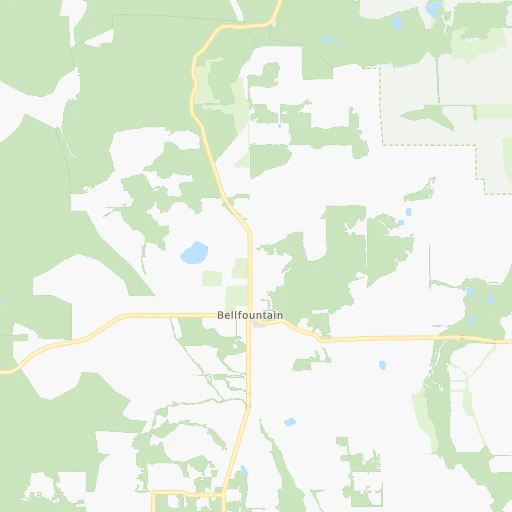
Roadmap (route) to go from Jim's Airstrip to Roseburg detailed above, you can also see the course layout on the map.
While doing trip Jim's Airstrip - Roseburg by car, the calculated route ends at a distance , or more straight.
Distance and duration of the route between Jim's Airstrip and Roseburg
Calculation of distance and route from Roseburg to Jim's Airstrip :
130.1150.0 km2h56mn
Continue onto Irish Bend Loop 0h1mn 706 mTurn right onto Peoria Road 0h10mn 12.9 kmTurn right onto Albany-Junction City Highway 0h15mn 17.7 kmTurn slight right onto Highway 99N 0h3mn 4.3 kmTurn right 0h4mn 5.6 kmTurn left onto West 11th Avenue 0h0mn 332 mTurn right onto Commerce Street 0h0mn 362 mTurn left onto West 13th Avenue 0h0mn 412 mTurn right onto South Bertelsen Road 0h15mn 19.7 kmTurn left onto Territorial Highway 0h22mn 23.7 kmTurn right onto Curtin Road 0h1mn 1.3 kmTurn left onto Umpqua Highway 0h1mn 781 mKeep right 1h37mn 57.5 kmKeep right and drive toward North Roseburg 0h0mn 461 mTurn right onto Northwest Edenbower Boulevard 0h1mn 821 mTurn left onto Northwest Stewart Parkway 0h2mn 1.6 kmTurn right onto Northeast Stephens Street 0h2mn 1.7 kmTurn left onto Northeast Wright Avenue 0h0mn 82 mTurn left onto Northeast Winchester Street 0h0mn 1 mArrive at destination 0h0mn 0 m
Travel from Jim's Airstrip (Oregon) to a selection of major cities.
Distances from Jim's Airstrip to biggest cities in Oregon
- West Linn,26,593 inhabitants.119 km
- Woodburn,25,173 inhabitants.89 km
- Forest Grove,23,897 inhabitants.127 km
- Newberg,22,780 inhabitants.104 km
- Wilsonville,22,729 inhabitants.108 km
- Roseburg,22,114 inhabitants.130 km
- Klamath Falls,21,399 inhabitants.267 km
- Ashland,20,861 inhabitants.247 km
- Milwaukie,20,830 inhabitants.127 km
- Bethany,20,646 inhabitants.134 km
- Lents,20,156 inhabitants.132 km
Other major cities in country :
- Charlotte [NC], 827,097 inhabitants. 3,719 km
- Seattle [WA], 684,451 inhabitants. 365 km
- Denver [CO], 682,545 inhabitants. 1,589 km
- El Paso [TX], 681,124 inhabitants. 2,023 km
- Detroit [MI], 677,116 inhabitants. 3,226 km
- Boston [MA], 667,137 inhabitants. 4,154 km
- Memphis [TN], 655,770 inhabitants. 2,994 km
- New South Memphis [TN], 641,608 inhabitants. 2,997 km
- Oklahoma City [OK], 631,346 inhabitants. 2,394 km
- Las Vegas [NV], 623,747 inhabitants. 1,141 km
- Baltimore [MD], 621,849 inhabitants. 3,854 km
- Washington, D.C. [DC], 601,723 inhabitants. 3,838 km
- Milwaukee [WI], 600,155 inhabitants. 2,823 km
- South Boston [MA], 571,281 inhabitants. 4,156 km
- Albuquerque [NM], 559,121 inhabitants. 1,750 km
- Tucson [AZ], 531,641 inhabitants. 1,724 km
- Nashville [TN], 530,852 inhabitants. 3,197 km
- Fresno [CA], 520,052 inhabitants. 898 km
- Sacramento [CA], 490,712 inhabitants. 662 km
- Kansas City [MO], 475,378 inhabitants. 2,436 km
Route from Roseburg to major cities (United States).
- Distance Roseburg New York City4,034 km
- Distance Roseburg Los Angeles1,112 km
- Distance Roseburg Chicago2,909 km
- Distance Roseburg Brooklyn4,041 km
- Distance Roseburg Houston2,897 km
- Distance Roseburg Queens4,048 km
- Distance Roseburg Philadelphia3,972 km
- Distance Roseburg Phoenix1,464 km
- Distance Roseburg Manhattan4,034 km
- Distance Roseburg San Antonio2,690 km
- Distance Roseburg San Diego1,288 km
- Distance Roseburg The Bronx4,039 km
- Distance Roseburg Dallas2,586 km
- Distance Roseburg San Jose666 km
- Distance Roseburg Austin2,684 km
- Distance Roseburg Jacksonville3,936 km
- Distance Roseburg San Francisco611 km
- Distance Roseburg Columbus3,346 km
- Distance Roseburg Fort Worth2,550 km
- Distance Roseburg Indianapolis3,098 km
Nearest cities to Jim's Airstrip :
- Portland, 632,309 inhabitants. 134 km
- Tacoma, 207,948 inhabitants. 325 km
- Vancouver, 172,860 inhabitants. 146 km
- Salem, 164,549 inhabitants. 64 km
- Eugene, 163,460 inhabitants. 38 km
- Kent, 126,952 inhabitants. 342 km
- Gresham, 110,553 inhabitants. 138 km
- Hillsboro, 102,347 inhabitants. 128 km
- Beaverton, 96,577 inhabitants. 127 km
- Federal Way, 95,171 inhabitants. 334 km
- Yakima, 93,701 inhabitants. 325 km
- Bend, 87,014 inhabitants. 156 km
- Medford, 79,805 inhabitants. 231 km
- Auburn, 77,006 inhabitants. 334 km
- Springfield, 60,870 inhabitants. 41 km
- Lakewood, 59,829 inhabitants. 315 km
- Corvallis, 55,780 inhabitants. 21 km
- South Hill, 52,431 inhabitants. 316 km
- Albany, 52,175 inhabitants. 29 km
- Tigard, 51,253 inhabitants. 122 km
- Olympia, 50,302 inhabitants. 296 km
- Aloha, 49,425 inhabitants. 127 km
- Lacey, 46,409 inhabitants. 297 km
- Puyallup, 39,659 inhabitants. 320 km
- Lake Oswego, 38,496 inhabitants. 123 km
- Keizer, 37,895 inhabitants. 69 km
- Grants Pass, 37,088 inhabitants. 217 km
- Longview, 36,848 inhabitants. 196 km
- Oregon City, 35,831 inhabitants. 118 km
- Parkland, 35,803 inhabitants. 314 km
- McMinnville, 33,892 inhabitants. 92 km
- University Place, 32,842 inhabitants. 322 km
- Redmond, 28,654 inhabitants. 163 km
- Spanaway, 27,227 inhabitants. 309 km
- Tualatin, 27,154 inhabitants. 117 km
- West Linn, 26,593 inhabitants. 119 km
- Woodburn, 25,173 inhabitants. 89 km
- Forest Grove, 23,897 inhabitants. 127 km
- Graham, 23,491 inhabitants. 306 km
- Newberg, 22,780 inhabitants. 104 km
- Wilsonville, 22,729 inhabitants. 108 km
- Roseburg, 22,114 inhabitants. 130 km
- Camas, 21,846 inhabitants. 148 km
- Klamath Falls, 21,399 inhabitants. 267 km
- Ashland, 20,861 inhabitants. 247 km
- Milwaukie, 20,830 inhabitants. 127 km
- Bethany, 20,646 inhabitants. 134 km
- Lents, 20,156 inhabitants. 132 km
- Hayesville, 19,936 inhabitants. 69 km
- Bonney Lake, 19,903 inhabitants. 321 km
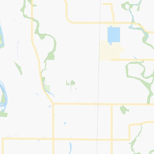
Location Jim's Airstrip (Oregon) :
| Country flag |  |
| Location | Jim's Airstrip |
| State | Oregon |
| County | Linn County |
| Country | United States |
| Country code / ISO 2 | US |
| Latitude | 44.3836800 |
| Longitude | -123.2126800 |
| Altitude | 84 meters |
| Time zone | America/Los_Angeles |
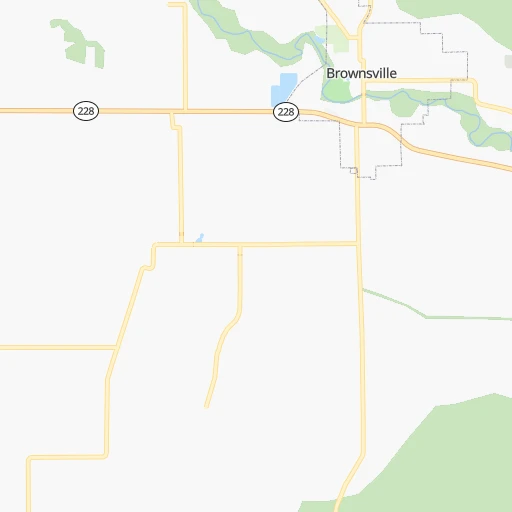
Location Roseburg (Oregon) :
| Country flag | |
| Location | Roseburg |
| State | Oregon |
| County | Douglas County |
| Country | United States |
| Country code / ISO 2 | US |
| Latitude | 43.2165000 |
| Longitude | -123.3417400 |
| Altitude | 147 meters |
| Time zone | America/Los_Angeles |


