

How to get from Hughes (airport) (Wisconsin) to Menomonee Falls (Wisconsin)
Calculate route from Hughes (airport) (Wisconsin, United States) to Menomonee Falls (Wisconsin, United States).
The flight distance (as the crow flies) between Hughes (airport) and Menomonee Falls is 148.0 km.
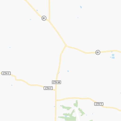
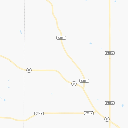
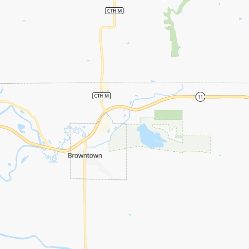
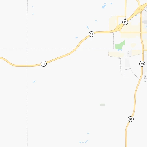
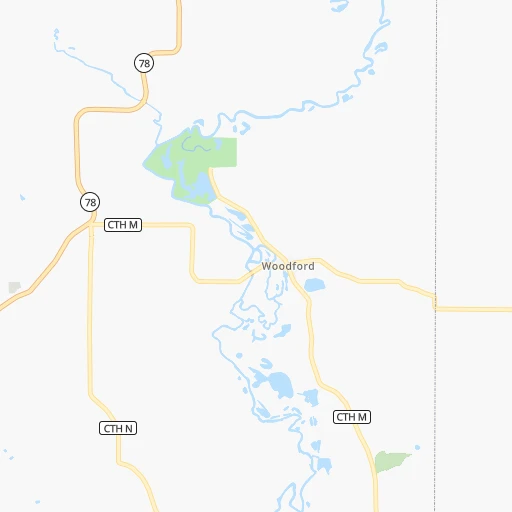
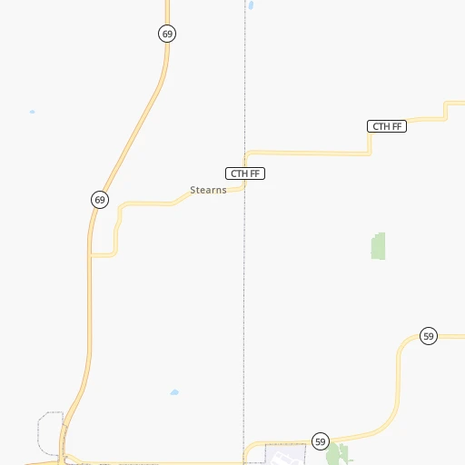
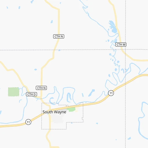
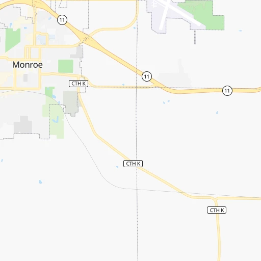
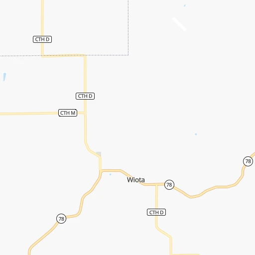
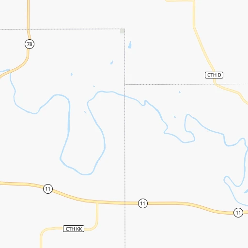
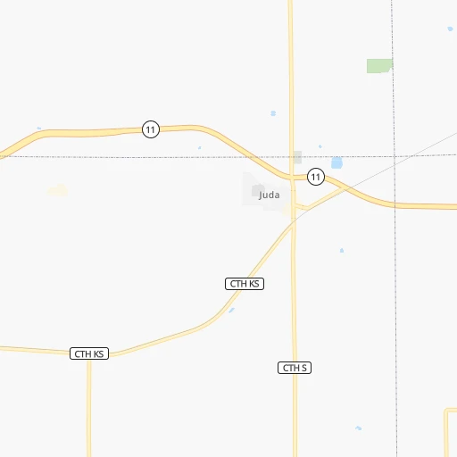
Roadmap (route) to go from Hughes Airport to Menomonee Falls detailed above, you can also see the course layout on the map.
While doing trip Hughes (airport) - Menomonee Falls by car, the calculated route ends at a distance , or more straight.
Distance and duration of the route between Hughes (airport) and Menomonee Falls
Calculation of distance and route from Menomonee Falls to Hughes (airport) :
148.0188.8 km2h21mn
Continue 0h1mn 245 mTurn right 0h1mn 235 mTurn left onto Loop Road 0h1mn 506 mTurn right onto County Highway Y 0h7mn 8.0 kmTurn right onto State Highway 81 0h2mn 2.2 kmTurn sharp left 0h17mn 22.2 kmKeep right 0h0mn 178 mTurn slight right onto State Highway 81 0h24mn 31.9 kmTurn right onto 4th Street 0h0mn 430 mTurn left onto Portland Avenue 0h2mn 2.2 kmContinue onto Milwaukee Road 0h6mn 5.3 kmTurn slight right onto Millington Road 0h1mn 932 mAt roundabout, take exit 3 onto East Hart Road 0h0mn 96 mKeep right 1h52mn 87.5 kmKeep right and take CTH O toward Moorland Road 0h0mn 561 mAt roundabout, take exit 3 onto South Moorland Road 0h1mn 516 mAt roundabout, take exit 1 onto South Moorland Road 0h24mn 24.2 kmKeep left 0h1mn 1.6 kmArrive at destination 0h0mn 0 m
Travel from Hughes (airport) (Wisconsin) to a selection of major cities.
Distances from Hughes Airport to biggest cities in Wisconsin
- Beloit,36,891 inhabitants.62 km
- Franklin,36,222 inhabitants.144 km
- Menomonee Falls,36,119 inhabitants.148 km
- Oak Creek,35,243 inhabitants.158 km
- Manitowoc,33,010 inhabitants.236 km
- Sun Prairie,32,365 inhabitants.77 km
- West Bend,31,695 inhabitants.157 km
- Fitchburg,27,996 inhabitants.45 km
- Stevens Point,26,604 inhabitants.212 km
- Superior,26,579 inhabitants.492 km
- Mount Pleasant,26,272 inhabitants.157 km
- Neenah,25,792 inhabitants.204 km
- Muskego,24,755 inhabitants.137 km
- De Pere,24,724 inhabitants.246 km
- Caledonia,24,684 inhabitants.152 km
- Watertown,23,819 inhabitants.106 km
- Mequon,23,132 inhabitants.156 km
- South Milwaukee,21,233 inhabitants.159 km
- Pleasant Prairie,20,726 inhabitants.151 km
Other major cities in country :
- Charlotte [NC], 827,097 inhabitants. 1,128 km
- Seattle [WA], 684,451 inhabitants. 2,597 km
- Denver [CO], 682,545 inhabitants. 1,313 km
- El Paso [TX], 681,124 inhabitants. 1,907 km
- Detroit [MI], 677,116 inhabitants. 553 km
- Boston [MA], 667,137 inhabitants. 1,533 km
- Memphis [TN], 655,770 inhabitants. 832 km
- New South Memphis [TN], 641,608 inhabitants. 839 km
- Portland [OR], 632,309 inhabitants. 2,633 km
- Oklahoma City [OK], 631,346 inhabitants. 1,040 km
- Las Vegas [NV], 623,747 inhabitants. 2,287 km
- Baltimore [MD], 621,849 inhabitants. 1,165 km
- Washington, D.C. [DC], 601,723 inhabitants. 1,149 km
- South Boston [MA], 571,281 inhabitants. 1,534 km
- Albuquerque [NM], 559,121 inhabitants. 1,683 km
- Tucson [AZ], 531,641 inhabitants. 2,190 km
- Nashville [TN], 530,852 inhabitants. 763 km
- Fresno [CA], 520,052 inhabitants. 2,637 km
- Sacramento [CA], 490,712 inhabitants. 2,703 km
- Kansas City [MO], 475,378 inhabitants. 563 km
Route from Menomonee Falls to major cities (United States).
- Distance Menomonee Falls New York City1,199 km
- Distance Menomonee Falls Los Angeles2,792 km
- Distance Menomonee Falls Chicago153 km
- Distance Menomonee Falls Brooklyn1,205 km
- Distance Menomonee Falls Houston1,627 km
- Distance Menomonee Falls Queens1,213 km
- Distance Menomonee Falls Philadelphia1,136 km
- Distance Menomonee Falls Phoenix2,345 km
- Distance Menomonee Falls Manhattan1,199 km
- Distance Menomonee Falls San Antonio1,789 km
- Distance Menomonee Falls San Diego2,785 km
- Distance Menomonee Falls The Bronx1,205 km
- Distance Menomonee Falls Dallas1,384 km
- Distance Menomonee Falls San Jose2,921 km
- Distance Menomonee Falls Austin1,672 km
- Distance Menomonee Falls Jacksonville1,541 km
- Distance Menomonee Falls San Francisco2,945 km
- Distance Menomonee Falls Columbus557 km
- Distance Menomonee Falls Fort Worth1,415 km
- Distance Menomonee Falls Indianapolis413 km
Nearest cities to Hughes (airport) :
- Chicago, 2,720,546 inhabitants. 194 km
- Milwaukee, 600,155 inhabitants. 159 km
- Madison, 248,951 inhabitants. 59 km
- Aurora, 200,661 inhabitants. 153 km
- Rockford, 148,278 inhabitants. 68 km
- Joliet, 147,861 inhabitants. 185 km
- Naperville, 147,100 inhabitants. 163 km
- Cedar Rapids, 130,405 inhabitants. 169 km
- Springfield, 116,565 inhabitants. 314 km
- Peoria, 115,070 inhabitants. 215 km
- North Peoria, 113,004 inhabitants. 212 km
- Rochester, 112,225 inhabitants. 269 km
- Elgin, 112,111 inhabitants. 138 km
- Green Bay, 105,207 inhabitants. 254 km
- Davenport, 102,582 inhabitants. 139 km
- Kenosha, 99,858 inhabitants. 160 km
- Waukegan, 88,475 inhabitants. 160 km
- West Town, 86,429 inhabitants. 190 km
- Champaign, 86,096 inhabitants. 306 km
- Near North Side, 85,711 inhabitants. 193 km
- Cicero, 83,886 inhabitants. 187 km
- Belmont Cragin, 79,159 inhabitants. 182 km
- Bloomington, 78,292 inhabitants. 246 km
- Racine, 77,742 inhabitants. 163 km
- Hammond, 77,614 inhabitants. 220 km
- Gary, 77,156 inhabitants. 230 km
- Arlington Heights, 75,926 inhabitants. 158 km
- Evanston, 75,527 inhabitants. 183 km
- Schaumburg, 74,693 inhabitants. 153 km
- Bolingbrook, 74,306 inhabitants. 174 km
- Iowa City, 74,220 inhabitants. 180 km
- Appleton, 74,139 inhabitants. 213 km
- South Lawndale, 73,826 inhabitants. 190 km
- Logan Square, 73,702 inhabitants. 187 km
- Decatur, 73,254 inhabitants. 317 km
- West Ridge, 72,211 inhabitants. 184 km
- Waukesha, 71,970 inhabitants. 133 km
- Lafayette, 71,111 inhabitants. 344 km
- Palatine, 69,308 inhabitants. 153 km
- Waterloo, 68,460 inhabitants. 212 km
- Eau Claire, 67,778 inhabitants. 281 km
- Lincoln Park, 66,959 inhabitants. 191 km
- Oshkosh, 66,555 inhabitants. 185 km
- Portage Park, 64,841 inhabitants. 181 km
- Skokie, 64,821 inhabitants. 180 km
- Janesville, 64,123 inhabitants. 62 km
- West Allis, 60,620 inhabitants. 150 km
- Dubuque, 58,799 inhabitants. 75 km
- Des Plaines, 58,677 inhabitants. 168 km
- Orland Park, 58,619 inhabitants. 193 km
Location Hughes (airport) (Wisconsin) :
| Country flag |  |
| Location | Hughes (airport) |
| State | Wisconsin |
| County | Green County |
| Country | United States |
| Country code / ISO 2 | US |
| Latitude | 42.6203400 |
| Longitude | -89.7674900 |
| Altitude | 300 meters |
| Time zone | America/Chicago |
Location Menomonee Falls (Wisconsin) :
| Country flag | |
| Location | Menomonee Falls |
| State | Wisconsin |
| County | Waukesha County |
| Country | United States |
| Country code / ISO 2 | US |
| Latitude | 43.1789000 |
| Longitude | -88.1173100 |
| Altitude | 261 meters |
| Time zone | America/Chicago |


