
How to get from Norrie Brook (airport) (Wisconsin) to Racine (Wisconsin)
Calculate route from Norrie Brook (airport) (Wisconsin, United States) to Racine (Wisconsin, United States).
The flight distance (as the crow flies) between Norrie Brook (airport) and Racine is 265.5 km.
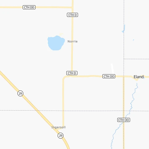
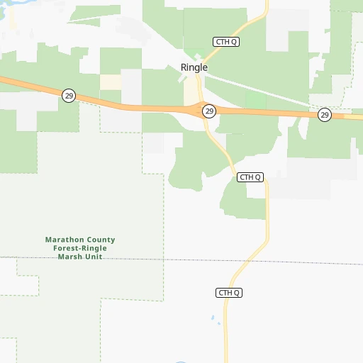
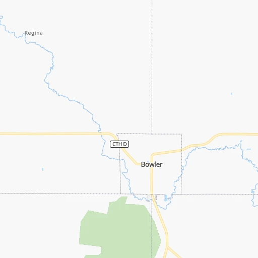
Roadmap (route) to go from Norrie Brook Airport to Racine detailed above, you can also see the course layout on the map.
While doing trip Norrie Brook (airport) - Racine by car, the calculated route ends at a distance , or more straight.
Distance and duration of the route between Norrie Brook (airport) and Racine
Calculation of distance and route from Racine to Norrie Brook (airport) :
265.5297.4 km4h38mn
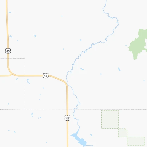
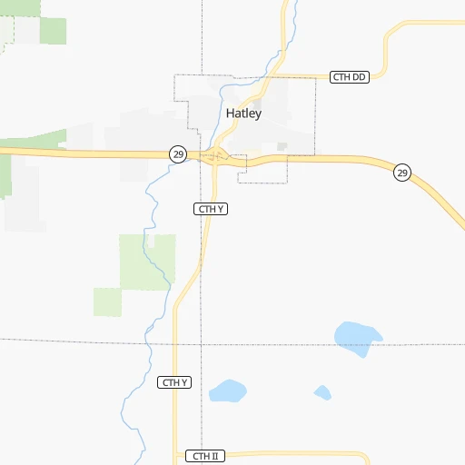
Continue onto County Road OO 0h1mn 535 mContinue onto Hamlock Street 0h2mn 1.9 kmTurn right onto US 45 0h5mn 6.5 kmTurn left onto US 45 0h2mn 3.6 kmKeep right onto US 45 and take CTH Q, US 45 South toward Clintonville 0h0mn 457 mKeep right onto US 45 0h27mn 36.2 kmTurn right onto US 45 0h3mn 3.5 kmKeep right onto US 45 1h31mn 39.6 kmAt roundabout, take exit 2 onto US Highway 45 0h3mn 3.8 kmKeep left onto US 45 and take US 10 East, US 45 toward Appleton, Oshkosh 0h4mn 5.6 kmKeep right onto US 45 and take US 45 South toward Oshkosh 0h13mn 19.9 kmKeep left and take I 41 South toward Milwaukee 1h9mn 116.6 kmKeep right toward WI 145 0h0mn 515 mKeep left and take WI 145 South, I 94 Alternate East toward Fond du Lac Avenue 0h6mn 7.7 kmContinue onto West Fond du Lac Avenue 0h11mn 8.6 kmKeep right toward I 43 South 0h1mn 1.3 kmKeep right and take I 794 East toward Lakefront 0h1mn 1.2 kmKeep left and take I 794 East toward Lakefront 0h12mn 13.5 kmContinue onto Nicholson Avenue 0h6mn 4.1 kmTurn left onto East Forest Hill Avenue 0h2mn 1.5 kmTurn right onto South Chicago Road 0h4mn 3.9 kmContinue onto South Chicago Road 0h0mn 314 mContinue onto South Chicago Road 0h8mn 9.1 kmContinue onto Douglas Avenue 0h0mn 130 mTurn slight right onto Douglas Avenue 0h6mn 5.8 kmTurn left onto Hamilton Street 0h0mn 304 mTurn right onto North Main Street 0h1mn 984 mTurn right onto 6th Street 0h0mn 94 mTurn left onto Wisconsin Avenue 0h0mn 87 mTurn left onto 7th Street 0h0mn 75 mArrive at destination 0h0mn 0 m
Travel from Norrie Brook (airport) (Wisconsin) to a selection of major cities.
Distances from Norrie Brook Airport to biggest cities in Wisconsin
- Beloit,36,891 inhabitants.264 km
- Franklin,36,222 inhabitants.241 km
- Menomonee Falls,36,119 inhabitants.209 km
- Oak Creek,35,243 inhabitants.247 km
- Manitowoc,33,010 inhabitants.153 km
- Sun Prairie,32,365 inhabitants.188 km
- West Bend,31,695 inhabitants.182 km
- Fitchburg,27,996 inhabitants.214 km
- Stevens Point,26,604 inhabitants.48 km
- Superior,26,579 inhabitants.303 km
- Mount Pleasant,26,272 inhabitants.266 km
- Neenah,25,792 inhabitants.98 km
- Muskego,24,755 inhabitants.236 km
- De Pere,24,724 inhabitants.104 km
- Caledonia,24,684 inhabitants.253 km
- Watertown,23,819 inhabitants.191 km
- Mequon,23,132 inhabitants.208 km
- South Milwaukee,21,233 inhabitants.245 km
- Pleasant Prairie,20,726 inhabitants.279 km
Other major cities in country :
- Charlotte [NC], 827,097 inhabitants. 1,288 km
- Seattle [WA], 684,451 inhabitants. 2,547 km
- Denver [CO], 682,545 inhabitants. 1,414 km
- El Paso [TX], 681,124 inhabitants. 2,090 km
- Detroit [MI], 677,116 inhabitants. 573 km
- Boston [MA], 667,137 inhabitants. 1,488 km
- Memphis [TN], 655,770 inhabitants. 1,085 km
- New South Memphis [TN], 641,608 inhabitants. 1,092 km
- Portland [OR], 632,309 inhabitants. 2,605 km
- Oklahoma City [OK], 631,346 inhabitants. 1,261 km
- Las Vegas [NV], 623,747 inhabitants. 2,383 km
- Baltimore [MD], 621,849 inhabitants. 1,212 km
- Washington, D.C. [DC], 601,723 inhabitants. 1,208 km
- South Boston [MA], 571,281 inhabitants. 1,489 km
- Albuquerque [NM], 559,121 inhabitants. 1,836 km
- Tucson [AZ], 531,641 inhabitants. 2,344 km
- Nashville [TN], 530,852 inhabitants. 991 km
- Fresno [CA], 520,052 inhabitants. 2,709 km
- Sacramento [CA], 490,712 inhabitants. 2,751 km
- Kansas City [MO], 475,378 inhabitants. 780 km
Route from Racine to major cities (United States).
- Distance Racine New York City1,165 km
- Distance Racine Los Angeles2,809 km
- Distance Racine Chicago98 km
- Distance Racine Brooklyn1,172 km
- Distance Racine Houston1,594 km
- Distance Racine Queens1,180 km
- Distance Racine Philadelphia1,098 km
- Distance Racine Phoenix2,354 km
- Distance Racine Manhattan1,166 km
- Distance Racine San Antonio1,763 km
- Distance Racine San Diego2,799 km
- Distance Racine The Bronx1,172 km
- Distance Racine Dallas1,361 km
- Distance Racine San Jose2,948 km
- Distance Racine Austin1,646 km
- Distance Racine Jacksonville1,483 km
- Distance Racine San Francisco2,972 km
- Distance Racine Columbus504 km
- Distance Racine Fort Worth1,392 km
- Distance Racine Indianapolis356 km
Nearest cities to Norrie Brook (airport) :
- Milwaukee, 600,155 inhabitants. 230 km
- Madison, 248,951 inhabitants. 201 km
- Rockford, 148,278 inhabitants. 290 km
- Cedar Rapids, 130,405 inhabitants. 374 km
- Elgin, 112,111 inhabitants. 325 km
- Green Bay, 105,207 inhabitants. 104 km
- Kenosha, 99,858 inhabitants. 279 km
- Waukegan, 88,475 inhabitants. 301 km
- West Town, 86,429 inhabitants. 355 km
- Duluth, 86,110 inhabitants. 308 km
- Near North Side, 85,711 inhabitants. 355 km
- Belmont Cragin, 79,159 inhabitants. 348 km
- Racine, 77,742 inhabitants. 266 km
- Arlington Heights, 75,926 inhabitants. 326 km
- Evanston, 75,527 inhabitants. 339 km
- Schaumburg, 74,693 inhabitants. 330 km
- Appleton, 74,139 inhabitants. 94 km
- Logan Square, 73,702 inhabitants. 351 km
- West Ridge, 72,211 inhabitants. 343 km
- Waukesha, 71,970 inhabitants. 222 km
- Palatine, 69,308 inhabitants. 323 km
- Eau Claire, 67,778 inhabitants. 179 km
- Lincoln Park, 66,959 inhabitants. 353 km
- Oshkosh, 66,555 inhabitants. 109 km
- Portage Park, 64,841 inhabitants. 346 km
- Skokie, 64,821 inhabitants. 339 km
- Janesville, 64,123 inhabitants. 245 km
- West Allis, 60,620 inhabitants. 229 km
- Dubuque, 58,799 inhabitants. 288 km
- Des Plaines, 58,677 inhabitants. 334 km
- Irving Park, 56,520 inhabitants. 347 km
- Uptown, 55,137 inhabitants. 348 km
- Edgewater, 54,873 inhabitants. 346 km
- Mount Prospect, 54,747 inhabitants. 330 km
- Rogers Park, 54,402 inhabitants. 343 km
- La Crosse, 52,306 inhabitants. 200 km
- Oak Park, 52,287 inhabitants. 353 km
- Hoffman Estates, 52,138 inhabitants. 329 km
- Albany Park, 52,079 inhabitants. 346 km
- North La Crosse, 50,470 inhabitants. 197 km
- Sheboygan, 48,797 inhabitants. 174 km
- Wauwatosa, 47,614 inhabitants. 226 km
- Glenview, 47,446 inhabitants. 333 km
- Elmhurst, 45,957 inhabitants. 347 km
- Lombard, 43,797 inhabitants. 348 km
- DeKalb, 43,211 inhabitants. 330 km
- Fond du Lac, 42,933 inhabitants. 138 km
- Bartlett, 41,545 inhabitants. 331 km
- Buffalo Grove, 41,496 inhabitants. 320 km
- Lincoln Square, 40,761 inhabitants. 346 km
Location Norrie Brook (airport) (Wisconsin) :
| Country flag |  |
| Location | Norrie Brook (airport) |
| State | Wisconsin |
| County | Marathon County |
| Country | United States |
| Country code / ISO 2 | US |
| Latitude | 44.8746100 |
| Longitude | -89.2307500 |
| Altitude | 377 meters |
| Time zone | America/Chicago |
Location Racine (Wisconsin) :
| Country flag | |
| Location | Racine |
| State | Wisconsin |
| County | Racine County |
| Country | United States |
| Country code / ISO 2 | US |
| Latitude | 42.7261300 |
| Longitude | -87.7828500 |
| Altitude | 188 meters |
| Time zone | America/Chicago |


