
How to get from Big Sky (airport) (New Mexico) to Socorro (New Mexico)
Calculate route from Big Sky (airport) (New Mexico, United States) to Socorro (New Mexico, United States).
The flight distance (as the crow flies) between Big Sky (airport) and Socorro is 147.0 km.
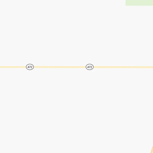
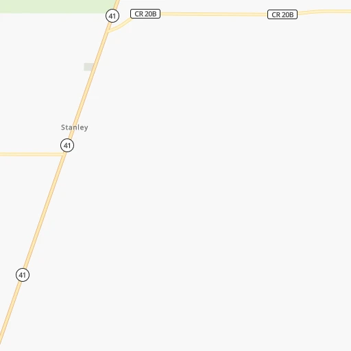
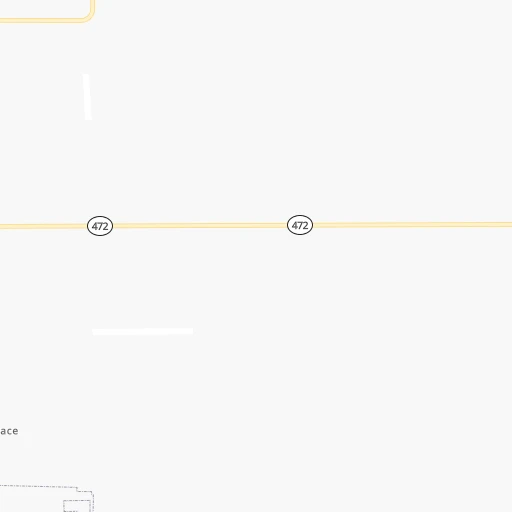
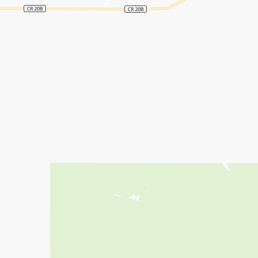
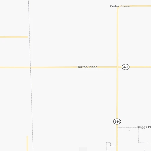
Roadmap (route) to go from Big Sky Airport to Socorro detailed above, you can also see the course layout on the map.
While doing trip Big Sky (airport) - Socorro by car, the calculated route ends at a distance , or more straight.
Distance and duration of the route between Big Sky (airport) and Socorro
Calculation of distance and route from Socorro to Big Sky (airport) :
147.0185.1 km2h14mn
Continue onto County Road 27 0h5mn 2.6 kmTurn right onto King Road 0h16mn 16.1 kmTurn left onto NM-344 0h0mn 13 mTurn right onto Frost Road 0h9mn 9.6 kmTurn left onto Vallecitos Drive 0h2mn 1.6 kmTurn right onto Meadow Drive 0h2mn 1.5 kmTurn sharp right onto Sedillo Hill Road 0h2mn 2.1 kmTurn right onto Old US Highway 66 0h2mn 2.1 kmTurn right 0h0mn 180 mTurn left 0h10mn 15.0 kmKeep right toward NM 556 0h1mn 942 mKeep right 0h2mn 2.2 kmTurn slight right onto Central Avenue 0h1mn 1.2 kmTurn slight right onto Central Avenue Northeast 0h0mn 265 mTurn right onto Central Avenue Southeast 0h1mn 998 mTurn left onto Zuni Road Southeast 0h3mn 2.2 kmTurn left onto Louisiana Boulevard Southeast 0h2mn 1.6 kmTurn right onto Gibson Boulevard Southeast 0h4mn 4.1 kmTurn left onto Girard Boulevard Southeast 0h2mn 1.9 kmKeep right 0h1mn 1.2 kmTurn left and take I 25 South toward Las Cruces 1h5mn 115.2 kmKeep right onto I-25 Business and take US 60 West, I 25 BUS toward Socorro, Magdalena 0h4mn 2.5 kmMake a U-turn onto California Street 0h0mn 110 mTurn right 0h0mn 12 mTurn left 0h0mn 24 mArrive at destination 0h0mn 0 m
Travel from Big Sky (airport) (New Mexico) to a selection of major cities.
Distances from Big Sky Airport to biggest cities in New Mexico
Other major cities in country :
- Charlotte [NC], 827,097 inhabitants. 2,283 km
- Seattle [WA], 684,451 inhabitants. 1,935 km
- Denver [CO], 682,545 inhabitants. 517 km
- El Paso [TX], 681,124 inhabitants. 382 km
- Detroit [MI], 677,116 inhabitants. 2,139 km
- Boston [MA], 667,137 inhabitants. 3,114 km
- Memphis [TN], 655,770 inhabitants. 1,451 km
- New South Memphis [TN], 641,608 inhabitants. 1,451 km
- Portland [OR], 632,309 inhabitants. 1,818 km
- Oklahoma City [OK], 631,346 inhabitants. 772 km
- Las Vegas [NV], 623,747 inhabitants. 833 km
- Baltimore [MD], 621,849 inhabitants. 2,634 km
- Washington, D.C. [DC], 601,723 inhabitants. 2,597 km
- Milwaukee [WI], 600,155 inhabitants. 1,787 km
- South Boston [MA], 571,281 inhabitants. 3,115 km
- Tucson [AZ], 531,641 inhabitants. 561 km
- Nashville [TN], 530,852 inhabitants. 1,740 km
- Fresno [CA], 520,052 inhabitants. 1,251 km
- Sacramento [CA], 490,712 inhabitants. 1,428 km
- Kansas City [MO], 475,378 inhabitants. 1,104 km
Route from Socorro to major cities (United States).
- Distance Socorro New York City2,983 km
- Distance Socorro Los Angeles1,046 km
- Distance Socorro Chicago1,893 km
- Distance Socorro Brooklyn2,987 km
- Distance Socorro Houston1,189 km
- Distance Socorro Queens2,997 km
- Distance Socorro Philadelphia2,880 km
- Distance Socorro Phoenix484 km
- Distance Socorro Manhattan2,987 km
- Distance Socorro San Antonio947 km
- Distance Socorro San Diego966 km
- Distance Socorro The Bronx2,995 km
- Distance Socorro Dallas947 km
- Distance Socorro San Jose1,403 km
- Distance Socorro Austin959 km
- Distance Socorro Jacksonville2,407 km
- Distance Socorro San Francisco1,458 km
- Distance Socorro Columbus2,215 km
- Distance Socorro Fort Worth901 km
- Distance Socorro Indianapolis1,946 km
Nearest cities to Big Sky (airport) :
- Albuquerque, 559,121 inhabitants. 59 km
- Las Cruces, 101,643 inhabitants. 325 km
- Enchanted Hills, 87,521 inhabitants. 56 km
- Rio Rancho, 87,521 inhabitants. 60 km
- Santa Fe, 84,099 inhabitants. 58 km
- Roswell, 48,544 inhabitants. 240 km
- Farmington, 42,871 inhabitants. 264 km
- South Valley, 40,976 inhabitants. 63 km
- Clovis, 39,480 inhabitants. 270 km
- Hobbs, 38,416 inhabitants. 382 km
- Alamogordo, 30,753 inhabitants. 252 km
- Carlsbad, 28,957 inhabitants. 347 km
- Gallup, 23,240 inhabitants. 251 km
- Durango, 18,006 inhabitants. 289 km
- Los Lunas, 15,336 inhabitants. 77 km
- Deming, 14,522 inhabitants. 361 km
- Las Vegas, 13,386 inhabitants. 86 km
- Artesia, 12,036 inhabitants. 298 km
- Los Alamos, 12,019 inhabitants. 85 km
- Portales, 11,995 inhabitants. 268 km
- Lovington, 11,800 inhabitants. 349 km
- North Valley, 11,333 inhabitants. 56 km
- Espanola, 10,224 inhabitants. 92 km
- Silver City, 10,004 inhabitants. 339 km
- Alamosa, 9,819 inhabitants. 257 km
- Grants, 9,239 inhabitants. 168 km
- Bernalillo, 8,843 inhabitants. 51 km
- Socorro, 8,722 inhabitants. 147 km
- Cortez, 8,715 inhabitants. 335 km
- Corrales, 8,502 inhabitants. 55 km
- Shiprock, 8,295 inhabitants. 301 km
- Trinidad, 8,153 inhabitants. 261 km
- Kirtland, 7,875 inhabitants. 274 km
- Ruidoso, 7,739 inhabitants. 207 km
- Bloomfield, 7,314 inhabitants. 247 km
- Belen, 7,152 inhabitants. 89 km
- La Junta, 6,951 inhabitants. 384 km
- Zuni Pueblo, 6,302 inhabitants. 259 km
- Raton, 6,187 inhabitants. 240 km
- Aztec, 6,147 inhabitants. 257 km
- Eldorado at Santa Fe, 6,130 inhabitants. 41 km
- Truth or Consequences, 6,079 inhabitants. 254 km
- Los Ranchos de Albuquerque, 6,063 inhabitants. 57 km
- Lee Acres, 5,858 inhabitants. 250 km
- Lee Acres, 5,858 inhabitants. 58 km
- Taos, 5,740 inhabitants. 144 km
- White Rock, 5,725 inhabitants. 76 km
- Los Chavez, 5,446 inhabitants. 84 km
- Tucumcari, 5,025 inhabitants. 208 km
- Placitas, 4,977 inhabitants. 41 km
Location Big Sky (airport) (New Mexico) :
| Country flag |  |
| Location | Big Sky (airport) |
| State | New Mexico |
| County | Santa Fe County |
| Country | United States |
| Country code / ISO 2 | US |
| Latitude | 35.1658300 |
| Longitude | -106.0119400 |
| Altitude | 1922 meters |
| Time zone | America/Denver |
Location Socorro (New Mexico) :
| Country flag | |
| Location | Socorro |
| State | New Mexico |
| County | Socorro County |
| Country | United States |
| Country code / ISO 2 | US |
| Latitude | 34.0584000 |
| Longitude | -106.8914200 |
| Altitude | 1403 meters |
| Time zone | America/Denver |

