
How to get from Parker (airport) (Tennessee) to Gallatin (Tennessee)
Calculate route from Parker (airport) (Tennessee, United States) to Gallatin (Tennessee, United States).
The flight distance (as the crow flies) between Parker (airport) and Gallatin is 315.8 km.
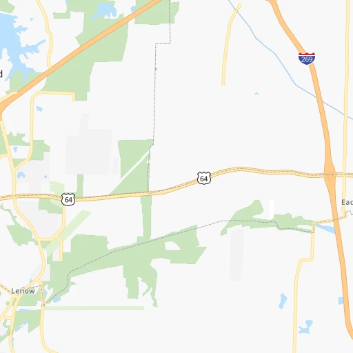
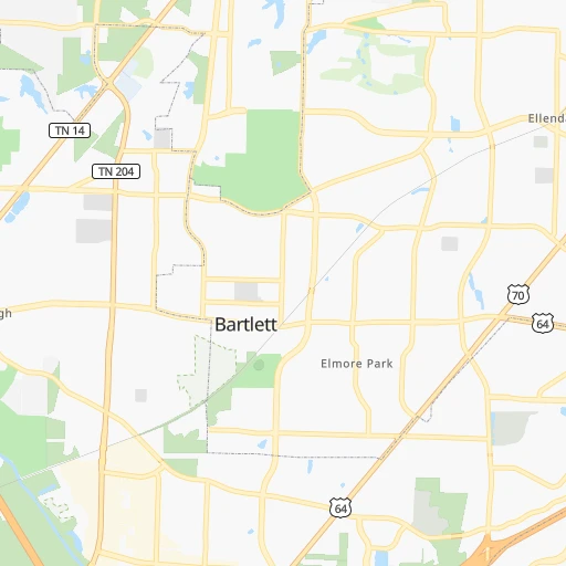
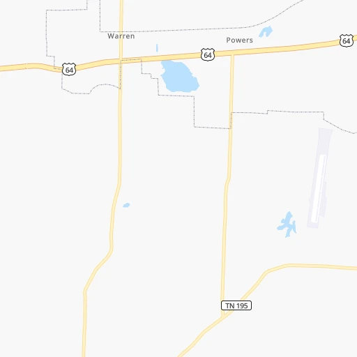
Roadmap (route) to go from Parker Airport to Gallatin detailed above, you can also see the course layout on the map.
While doing trip Parker (airport) - Gallatin by car, the calculated route ends at a distance , or more straight.
Distance and duration of the route between Parker (airport) and Gallatin
Calculation of distance and route from Gallatin to Parker (airport) :
315.8348.2 km4h36mn
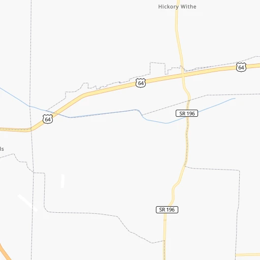
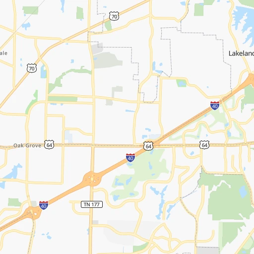
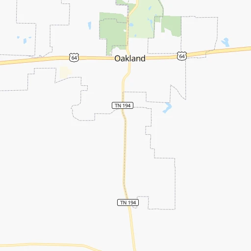
Continue 0h1mn 295 mTurn right onto Seward Drive 0h4mn 1.8 kmTurn right onto Jefferson Road 0h0mn 90 mTurn left onto Washington Road 0h0mn 129 mTurn slight right onto North Collierville Arlington Road 0h1mn 867 mTurn left onto US 64 0h0mn 206 mKeep right 0h3mn 5.1 kmKeep right and take I 40 East toward Nashville 0h1mn 1.1 kmKeep left and take I 40 East toward Nashville 3h54mn 293.4 kmKeep left and take I 65 North toward Louisville 0h3mn 3.4 kmKeep left onto I 65 and take I 24 West, I 65 North toward Clarksville, Louisville 0h10mn 14.7 kmKeep right onto Vietnam Veterans Boulevard and take SR 386 toward Hendersonville, Gallatin 0h9mn 14.3 kmKeep right onto US 31E Bypass toward US 31E North 0h1mn 987 mContinue onto East Main Street 0h9mn 11.1 kmKeep right 0h0mn 55 mTurn slight right onto West Main Street 0h0mn 488 mArrive at destination 0h0mn 0 m
Travel from Parker (airport) (Tennessee) to a selection of major cities.
Distances from Parker Airport to biggest cities in Tennessee
- Spring Hill,36,055 inhabitants.252 km
- La Vergne,34,794 inhabitants.290 km
- Gallatin,34,334 inhabitants.316 km
- Cookeville,32,113 inhabitants.388 km
- Mount Juliet,31,540 inhabitants.302 km
- Brentwood Estates,31,279 inhabitants.274 km
- Lebanon,30,262 inhabitants.322 km
- Morristown,29,478 inhabitants.583 km
- Oak Ridge,29,302 inhabitants.493 km
- Maryville,28,464 inhabitants.517 km
- Bristol,26,666 inhabitants.688 km
- Farragut,21,919 inhabitants.502 km
- Shelbyville,21,317 inhabitants.289 km
- East Ridge,20,979 inhabitants.399 km
Other major cities in country :
- Charlotte [NC], 827,097 inhabitants. 799 km
- Seattle [WA], 684,451 inhabitants. 3,030 km
- Denver [CO], 682,545 inhabitants. 1,446 km
- El Paso [TX], 681,124 inhabitants. 1,609 km
- Detroit [MI], 677,116 inhabitants. 978 km
- Boston [MA], 667,137 inhabitants. 1,793 km
- Portland [OR], 632,309 inhabitants. 3,003 km
- Oklahoma City [OK], 631,346 inhabitants. 717 km
- Las Vegas [NV], 623,747 inhabitants. 2,302 km
- Baltimore [MD], 621,849 inhabitants. 1,239 km
- Washington, D.C. [DC], 601,723 inhabitants. 1,191 km
- Milwaukee [WI], 600,155 inhabitants. 886 km
- South Boston [MA], 571,281 inhabitants. 1,792 km
- Albuquerque [NM], 559,121 inhabitants. 1,548 km
- Tucson [AZ], 531,641 inhabitants. 1,996 km
- Fresno [CA], 520,052 inhabitants. 2,710 km
- Sacramento [CA], 490,712 inhabitants. 2,848 km
- Kansas City [MO], 475,378 inhabitants. 618 km
- Long Beach [CA], 474,140 inhabitants. 2,617 km
- Mesa [AZ], 471,825 inhabitants. 2,046 km
Route from Gallatin to major cities (United States).
- Distance Gallatin New York City1,184 km
- Distance Gallatin Los Angeles2,890 km
- Distance Gallatin Chicago617 km
- Distance Gallatin Brooklyn1,186 km
- Distance Gallatin Houston1,111 km
- Distance Gallatin Queens1,196 km
- Distance Gallatin Philadelphia1,063 km
- Distance Gallatin Phoenix2,355 km
- Distance Gallatin Manhattan1,190 km
- Distance Gallatin San Antonio1,365 km
- Distance Gallatin San Diego2,834 km
- Distance Gallatin The Bronx1,200 km
- Distance Gallatin Dallas1,030 km
- Distance Gallatin San Jose3,140 km
- Distance Gallatin Austin1,251 km
- Distance Gallatin Jacksonville808 km
- Distance Gallatin San Francisco3,179 km
- Distance Gallatin Columbus499 km
- Distance Gallatin Fort Worth1,076 km
- Distance Gallatin Indianapolis377 km
Nearest cities to Parker (airport) :
- Memphis, 655,770 inhabitants. 39 km
- New South Memphis, 641,608 inhabitants. 41 km
- Nashville, 530,852 inhabitants. 279 km
- Birmingham, 212,461 inhabitants. 320 km
- Little Rock, 197,992 inhabitants. 248 km
- Jackson, 170,674 inhabitants. 327 km
- Clarksville, 149,176 inhabitants. 253 km
- Evansville, 119,943 inhabitants. 360 km
- Tuscaloosa, 98,332 inhabitants. 291 km
- Hoover, 84,848 inhabitants. 327 km
- Jonesboro, 73,907 inhabitants. 121 km
- Franklin, 72,639 inhabitants. 263 km
- Jackson, 66,975 inhabitants. 87 km
- North Little Rock, 66,504 inhabitants. 245 km
- Conway, 64,980 inhabitants. 257 km
- Owensboro, 59,042 inhabitants. 365 km
- Bartlett, 58,579 inhabitants. 22 km
- Decatur, 55,437 inhabitants. 250 km
- Southaven, 52,589 inhabitants. 42 km
- Monroe, 49,598 inhabitants. 378 km
- Collierville, 48,863 inhabitants. 18 km
- Madison, 46,962 inhabitants. 268 km
- Pine Bluff, 44,772 inhabitants. 243 km
- Brentwood, 41,763 inhabitants. 274 km
- Florence, 40,026 inhabitants. 183 km
- Meridian, 39,661 inhabitants. 327 km
- Cape Girardeau, 39,462 inhabitants. 235 km
- Germantown, 39,240 inhabitants. 21 km
- Columbia, 36,800 inhabitants. 240 km
- Spring Hill, 36,055 inhabitants. 252 km
- Olive Branch, 36,010 inhabitants. 32 km
- East Florence, 35,733 inhabitants. 185 km
- Tupelo, 35,680 inhabitants. 134 km
- Benton, 34,177 inhabitants. 279 km
- Vestavia Hills, 34,174 inhabitants. 326 km
- Alabaster, 32,707 inhabitants. 338 km
- Hopkinsville, 32,205 inhabitants. 267 km
- Greenville, 32,156 inhabitants. 239 km
- Brentwood Estates, 31,279 inhabitants. 274 km
- Sherwood, 30,517 inhabitants. 241 km
- Henderson, 28,890 inhabitants. 346 km
- Jacksonville, 28,643 inhabitants. 229 km
- Paragould, 27,900 inhabitants. 124 km
- Horn Lake, 26,915 inhabitants. 46 km
- Bessemer, 26,730 inhabitants. 317 km
- Pearl, 26,462 inhabitants. 329 km
- Carbondale, 26,399 inhabitants. 284 km
- Madison, 25,799 inhabitants. 308 km
- Homewood, 25,708 inhabitants. 323 km
- Cabot, 25,587 inhabitants. 219 km
Location Parker (airport) (Tennessee) :
| Country flag |  |
| Location | Parker (airport) |
| State | Tennessee |
| County | Fayette County |
| Country | United States |
| Country code / ISO 2 | US |
| Latitude | 35.1964200 |
| Longitude | -89.6272600 |
| Altitude | 106 meters |
| Time zone | America/Chicago |
Location Gallatin (Tennessee) :
| Country flag | |
| Location | Gallatin |
| State | Tennessee |
| County | Sumner County |
| Country | United States |
| Country code / ISO 2 | US |
| Latitude | 36.3883800 |
| Longitude | -86.4466600 |
| Altitude | 164 meters |
| Time zone | America/Chicago |

