
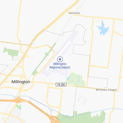
How to get from Ray (airport) (Tennessee) to Maryville (Tennessee)
Calculate route from Ray (airport) (Tennessee, United States) to Maryville (Tennessee, United States).
The flight distance (as the crow flies) between Ray (airport) and Maryville is 531.0 km.
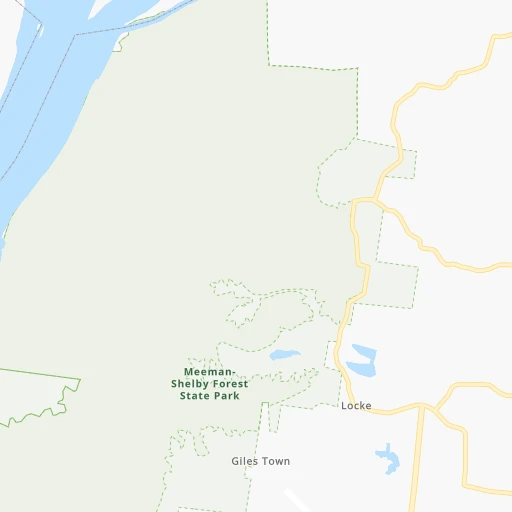
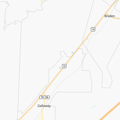
Roadmap (route) to go from Ray Airport to Maryville detailed above, you can also see the course layout on the map.
While doing trip Ray (airport) - Maryville by car, the calculated route ends at a distance , or more straight.
Distance and duration of the route between Ray (airport) and Maryville
Calculation of distance and route from Maryville to Ray (airport) :
531.0597.9 km7h32mn
Continue 0h0mn 79 mTurn left onto Armour Road 0h0mn 323 mTurn left onto Millington Arlington Road 0h4mn 3.5 kmTurn left onto Austin Peay Highway 0h30mn 36.2 kmTurn right onto TN 54 0h20mn 21.7 kmAt roundabout, take exit 3 onto East Main Street 0h14mn 15.6 kmTurn left and take US 70 toward Fort Pillow State Historic Park 2h11mn 222.3 kmKeep right and drive toward 51st Avenue, 46th Avenue, West Nashville 0h0mn 300 mTurn right onto 51st Avenue North 0h0mn 125 mTurn left onto Charlotte Avenue 0h5mn 5.1 kmTurn right onto 14th Avenue North 0h0mn 395 mKeep left and drive toward Knoxville, Huntsville 0h2mn 3.0 kmKeep right onto I 40 and take I 40 East, I 24 East toward Knoxville, Chattanooga 2h26mn 245.8 kmKeep right and take US 321, TN 73, TN 95 toward Lenoir City, Oak Ridge 0h0mn 471 mKeep right and take US 321, TN 73, TN 95 toward Lenoir City, Oak Ridge 0h0mn 73 mTurn slight right onto Lamar Alexander Parkway 1h36mn 41.9 kmKeep left onto West Broadway Avenue 0h1mn 785 mArrive at destination 0h0mn 0 m
Travel from Ray (airport) (Tennessee) to a selection of major cities.
Distances from Ray Airport to biggest cities in Tennessee
- Spring Hill,36,055 inhabitants.266 km
- La Vergne,34,794 inhabitants.302 km
- Gallatin,34,334 inhabitants.326 km
- Cookeville,32,113 inhabitants.401 km
- Mount Juliet,31,540 inhabitants.313 km
- Brentwood Estates,31,279 inhabitants.285 km
- Lebanon,30,262 inhabitants.333 km
- Morristown,29,478 inhabitants.597 km
- Oak Ridge,29,302 inhabitants.508 km
- Maryville,28,464 inhabitants.532 km
- Bristol,26,666 inhabitants.702 km
- Farragut,21,919 inhabitants.517 km
- Shelbyville,21,317 inhabitants.305 km
- East Ridge,20,979 inhabitants.418 km
Other major cities in country :
- Charlotte [NC], 827,097 inhabitants. 816 km
- Seattle [WA], 684,451 inhabitants. 3,005 km
- Denver [CO], 682,545 inhabitants. 1,422 km
- El Paso [TX], 681,124 inhabitants. 1,594 km
- Detroit [MI], 677,116 inhabitants. 974 km
- Boston [MA], 667,137 inhabitants. 1,799 km
- Portland [OR], 632,309 inhabitants. 2,979 km
- Oklahoma City [OK], 631,346 inhabitants. 698 km
- Las Vegas [NV], 623,747 inhabitants. 2,282 km
- Baltimore [MD], 621,849 inhabitants. 1,248 km
- Washington, D.C. [DC], 601,723 inhabitants. 1,200 km
- Milwaukee [WI], 600,155 inhabitants. 872 km
- South Boston [MA], 571,281 inhabitants. 1,799 km
- Albuquerque [NM], 559,121 inhabitants. 1,529 km
- Tucson [AZ], 531,641 inhabitants. 1,979 km
- Fresno [CA], 520,052 inhabitants. 2,689 km
- Sacramento [CA], 490,712 inhabitants. 2,826 km
- Kansas City [MO], 475,378 inhabitants. 593 km
- Long Beach [CA], 474,140 inhabitants. 2,598 km
- Mesa [AZ], 471,825 inhabitants. 2,028 km
Route from Maryville to major cities (United States).
- Distance Maryville New York City1,030 km
- Distance Maryville Los Angeles3,119 km
- Distance Maryville Chicago749 km
- Distance Maryville Brooklyn1,031 km
- Distance Maryville Houston1,257 km
- Distance Maryville Queens1,041 km
- Distance Maryville Philadelphia903 km
- Distance Maryville Phoenix2,579 km
- Distance Maryville Manhattan1,037 km
- Distance Maryville San Antonio1,531 km
- Distance Maryville San Diego3,059 km
- Distance Maryville The Bronx1,048 km
- Distance Maryville Dallas1,225 km
- Distance Maryville San Jose3,373 km
- Distance Maryville Austin1,422 km
- Distance Maryville Jacksonville641 km
- Distance Maryville San Francisco3,412 km
- Distance Maryville Columbus476 km
- Distance Maryville Fort Worth1,273 km
- Distance Maryville Indianapolis486 km
Nearest cities to Ray (airport) :
- Memphis, 655,770 inhabitants. 30 km
- New South Memphis, 641,608 inhabitants. 36 km
- Little Rock, 197,992 inhabitants. 234 km
- Clarksville, 149,176 inhabitants. 258 km
- Evansville, 119,943 inhabitants. 356 km
- Tuscaloosa, 98,332 inhabitants. 316 km
- Jonesboro, 73,907 inhabitants. 97 km
- Franklin, 72,639 inhabitants. 275 km
- Jackson, 66,975 inhabitants. 96 km
- North Little Rock, 66,504 inhabitants. 232 km
- Conway, 64,980 inhabitants. 240 km
- Owensboro, 59,042 inhabitants. 363 km
- Bartlett, 58,579 inhabitants. 17 km
- Decatur, 55,437 inhabitants. 272 km
- Southaven, 52,589 inhabitants. 43 km
- Monroe, 49,598 inhabitants. 380 km
- Collierville, 48,863 inhabitants. 37 km
- Pine Bluff, 44,772 inhabitants. 235 km
- Florence, 40,026 inhabitants. 205 km
- Meridian, 39,661 inhabitants. 348 km
- Cape Girardeau, 39,462 inhabitants. 220 km
- Germantown, 39,240 inhabitants. 29 km
- Columbia, 36,800 inhabitants. 254 km
- Spring Hill, 36,055 inhabitants. 266 km
- Olive Branch, 36,010 inhabitants. 43 km
- East Florence, 35,733 inhabitants. 207 km
- Tupelo, 35,680 inhabitants. 159 km
- Benton, 34,177 inhabitants. 267 km
- Hopkinsville, 32,205 inhabitants. 269 km
- Greenville, 32,156 inhabitants. 244 km
- Sherwood, 30,517 inhabitants. 227 km
- Henderson, 28,890 inhabitants. 341 km
- Jacksonville, 28,643 inhabitants. 215 km
- Paragould, 27,900 inhabitants. 100 km
- Horn Lake, 26,915 inhabitants. 48 km
- Bessemer, 26,730 inhabitants. 341 km
- Carbondale, 26,399 inhabitants. 270 km
- Madison, 25,799 inhabitants. 322 km
- Cabot, 25,587 inhabitants. 204 km
- Starkville, 25,366 inhabitants. 230 km
- West Memphis, 25,052 inhabitants. 40 km
- Athens, 24,966 inhabitants. 267 km
- Paducah, 24,864 inhabitants. 222 km
- Northport, 24,772 inhabitants. 314 km
- Ridgeland, 24,351 inhabitants. 326 km
- Searcy, 24,196 inhabitants. 174 km
- Columbus, 23,168 inhabitants. 243 km
- Vicksburg, 23,131 inhabitants. 347 km
- Ruston, 22,340 inhabitants. 408 km
- Oxford, 22,314 inhabitants. 113 km
Location Ray (airport) (Tennessee) :
| Country flag |  |
| Location | Ray (airport) |
| State | Tennessee |
| County | Shelby County |
| Country | United States |
| Country code / ISO 2 | US |
| Latitude | 35.3475800 |
| Longitude | -89.8235300 |
| Altitude | 94 meters |
| Time zone | America/Chicago |
Location Maryville (Tennessee) :
| Country flag | |
| Location | Maryville |
| State | Tennessee |
| County | Blount County |
| Country | United States |
| Country code / ISO 2 | US |
| Latitude | 35.7564700 |
| Longitude | -83.9704600 |
| Altitude | 285 meters |
| Time zone | America/New_York |


