
Home
››
Železnička Stanica Banatski Karlovac
››
Roadmap from Železnička Stanica Banatski Karlovac to Apatin
How to get from Železnička Stanica Banatski Karlovac (Vojvodina) to Apatin (Vojvodina)
Calculate route from Železnička Stanica Banatski Karlovac (Vojvodina, Serbia) to Apatin (Vojvodina, Serbia).
The flight distance (as the crow flies) between Železnička Stanica Banatski Karlovac and Apatin is 172.7 km.
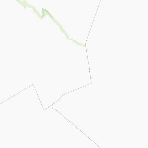
Roadmap (route) to go from Železnička Stanica Banatski Karlovac to Apatin detailed above, you can also see the course layout on the map.
While doing trip Železnička Stanica Banatski Karlovac - Apatin by car, the calculated route ends at a distance , or more straight.
Distance and duration of the route between Železnička Stanica Banatski Karlovac and Apatin
Calculation of distance and route from Apatin to Železnička Stanica Banatski Karlovac :
172.7211.7 km4h49mn
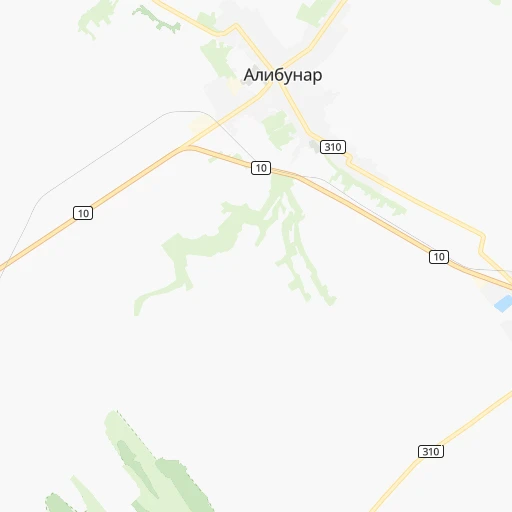
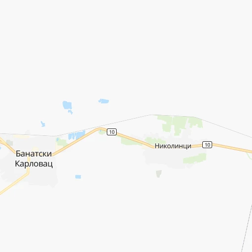
Continue onto Кнеза Милоша 0h0mn 90 mTurn right onto ЈНА 0h1mn 453 mTurn right onto Слободана Пеназића 0h0mn 22 mTurn left 0h1mn 428 mTurn right onto Алибунарски пут 0h5mn 4.4 kmContinue onto Братства и јединства and drive toward Зрењанин, Ковачица 0h1mn 1.1 kmContinue onto Селеушки пут 0h12mn 11.7 kmTurn left onto Саве Вељковића 0h0mn 153 mTurn right onto Жарка Зрењанина 0h14mn 13.8 kmAt roundabout, take exit 2 onto Томашевац - Добрица 0h0mn 59 mKeep right onto Томашевац - Добрица 0h22mn 11.2 kmContinue onto 130 0h1mn 737 mTurn right onto Маршала Тита 0h6mn 4.0 kmTurn left 0h5mn 5.6 kmTurn right onto Ботошки друм 0h0mn 290 mTurn right onto Банатска 0h11mn 13.3 kmKeep right 0h0mn 64 mTurn slight right onto 13 0h3mn 3.5 kmAt roundabout, take exit 2 onto Београдска 0h1mn 1.1 kmTurn left 0h5mn 4.0 kmTurn right onto Народне омладине 0h1mn 728 mAt roundabout, take exit 3 onto Бригадира Ристића 0h2mn 1.8 kmAt roundabout, take exit 2 onto Булевар Вељка Влаховића 0h1mn 745 mAt roundabout, take exit 2 onto Тиски ред 0h14mn 15.9 kmKeep right 0h0mn 153 mContinue onto Јегричка IV 0h15mn 15.0 kmTurn left onto Краља Петра првог 0h16mn 14.9 kmKeep right onto Сиришки пут 0h0mn 38 mTurn slight right onto Новосадска 0h0mn 64 mKeep left onto Југословенске Народне Армије 0h6mn 5.8 kmTurn left and drive toward Суботица / Subotica 0h7mn 13.3 kmKeep right and take 15 toward Врбас / Vrbas, Србобран / Srbobran 0h1mn 356 mKeep right and take 19 toward Врбас / Vrbas 0h5mn 5.6 kmTurn left onto Његошева 0h1mn 1.2 kmTurn right onto Маршала Тита 0h3mn 2.2 kmTurn right onto Кларе Фејеш Мире 0h23mn 22.8 kmTurn left onto Балканска 0h20mn 16.3 kmTurn right onto Карађорђев плац 0h3mn 3.1 kmTurn left 0h14mn 12.0 kmAt roundabout, take exit 2 onto Пригревачка 0h4mn 3.7 kmTurn left 0h0mn 87 mArrive at destination 0h0mn 0 m
Travel from Železnička Stanica Banatski Karlovac (Vojvodina) to a selection of major cities.
Distances from Železnička Stanica Banatski Karlovac to biggest cities in Vojvodina
Other major cities in country :
Route from Apatin to major cities (Serbia).
- Distance Apatin Belgrade151 km
- Distance Apatin Nis349 km
- Distance Apatin Zemun144 km
- Distance Apatin Kragujevac239 km
- Distance Apatin Cacak226 km
- Distance Apatin Leskovac380 km
- Distance Apatin Novi Pazar307 km
- Distance Apatin Kraljevo255 km
- Distance Apatin Krusevac298 km
- Distance Apatin Uzice213 km
- Distance Apatin Smederevo189 km
- Distance Apatin Valjevo171 km
- Distance Apatin Vranje418 km
- Distance Apatin Sabac117 km
Nearest cities to Železnička Stanica Banatski Karlovac :
- Belgrade, 1,273,651 inhabitants. 52 km
- Nis, 250,000 inhabitants. 205 km
- Novi Sad, 215,400 inhabitants. 95 km
- Zemun, 155,591 inhabitants. 54 km
- Kragujevac, 147,473 inhabitants. 116 km
- Cacak, 117,072 inhabitants. 140 km
- Subotica, 100,000 inhabitants. 157 km
- Leskovac, 94,758 inhabitants. 241 km
- Novi Pazar, 85,996 inhabitants. 217 km
- Kraljevo, 82,846 inhabitants. 150 km
- Zrenjanin, 79,773 inhabitants. 62 km
- Pancevo, 76,654 inhabitants. 36 km
- Krusevac, 75,256 inhabitants. 166 km
- Uzice, 63,577 inhabitants. 162 km
- Smederevo, 62,000 inhabitants. 44 km
- Valjevo, 61,035 inhabitants. 124 km
- Vranje, 56,199 inhabitants. 288 km
- Sabac, 55,114 inhabitants. 110 km
- Zajecar, 49,800 inhabitants. 162 km
- Trstenik, 49,043 inhabitants. 160 km
- Sombor, 48,454 inhabitants. 169 km
- Kikinda, 41,935 inhabitants. 96 km
- Pozarevac, 41,736 inhabitants. 50 km
- Pirot, 40,678 inhabitants. 246 km
- Bor, 39,387 inhabitants. 139 km
- Sremska Mitrovica, 39,084 inhabitants. 111 km
- Vrsac, 36,300 inhabitants. 24 km
- Jagodina, 35,589 inhabitants. 122 km
- Ruma, 32,229 inhabitants. 94 km
- Backa Palanka, 29,449 inhabitants. 129 km
- Prokuplje, 27,673 inhabitants. 208 km
- Smederevska Palanka, 27,000 inhabitants. 77 km
- Ingija, 26,247 inhabitants. 73 km
- Vrbas, 25,907 inhabitants. 122 km
- Becej, 25,774 inhabitants. 99 km
- Knjazevac, 25,000 inhabitants. 193 km
- Arangelovac, 24,309 inhabitants. 91 km
- Gornji Milanovac, 23,982 inhabitants. 123 km
- Lazarevac, 23,551 inhabitants. 96 km
- Sremcica, 23,000 inhabitants. 65 km
- Cuprija, 20,585 inhabitants. 129 km
- Senta, 20,302 inhabitants. 122 km
- Apatin, 18,320 inhabitants. 173 km
- Negotin, 17,612 inhabitants. 151 km
- Obrenovac, 16,821 inhabitants. 78 km
- Stara Pazova, 16,217 inhabitants. 68 km
- Backa Topola, 16,154 inhabitants. 137 km
- Nova Pazova, 15,488 inhabitants. 64 km
- Kovin, 14,250 inhabitants. 34 km
- Petrovaradin, 13,917 inhabitants. 92 km
Location Železnička Stanica Banatski Karlovac (Vojvodina) :
| Country flag |  |
| Location | Železnička Stanica Banatski Karlovac |
| State | Vojvodina |
| County | South Banat |
| Country | Serbia |
| Country code / ISO 2 | RS |
| Latitude | 45.0553000 |
| Longitude | 21.0156100 |
| Altitude | 0 meters |
| Time zone | Europe/Belgrade |
Location Apatin (Vojvodina) :
| Country flag | |
| Location | Apatin |
| State | Vojvodina |
| County | West Bačka |
| Country | Serbia |
| Country code / ISO 2 | RS |
| Latitude | 45.6711100 |
| Longitude | 18.9847200 |
| Altitude | 0 meters |
| Time zone | Europe/Belgrade |

