

How to get from Gullhella (Akershus) to Ås (Akershus)
Calculate route from Gullhella (Akershus, Norway) to Ås (Akershus, Norway).
The flight distance (as the crow flies) between Gullhella and Ås is 25.6 km.
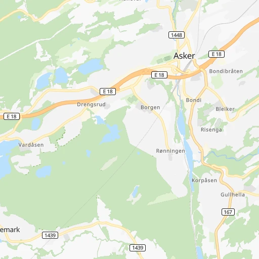
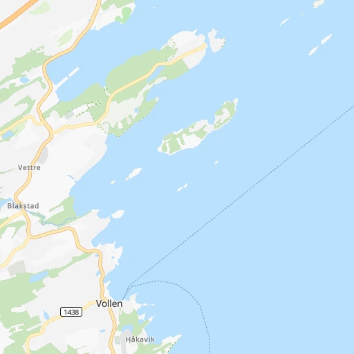
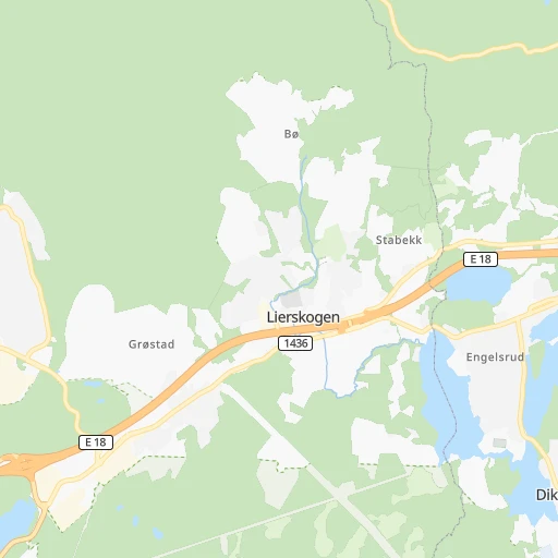
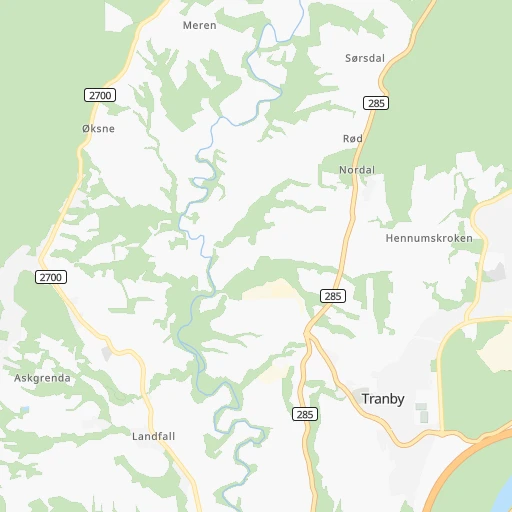
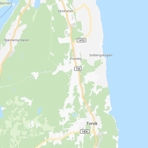
Roadmap (route) to go from Gullhella to Ås detailed above, you can also see the course layout on the map.
While doing trip Gullhella - Ås by car, the calculated route ends at a distance , or more straight.
Distance and duration of the route between Gullhella and Ås
Calculation of distance and route from Ås to Gullhella :
25.642.5 km1h46mn
Continue 0h0mn 22 mTurn left onto Gullhellaveien 0h1mn 495 mTurn slight left onto Norddalsveien 0h0mn 24 mTurn right onto Norddalsveien 0h1mn 354 mTurn sharp right onto Gamle Røykenvei 0h1mn 570 mContinue onto Gamle Røykenvei 0h1mn 346 mTurn right onto Røykenveien 0h7mn 6.2 kmTurn right onto Slemmestadveien 0h1mn 1.4 kmTurn left onto Ølstadveien 0h3mn 1.3 kmTurn left onto Hurumveien 0h1mn 834 mTurn right onto Krokoddveien 0h1mn 378 mTurn right onto 2692 0h0mn 165 mAt roundabout, take exit 2 onto E 134 0h3mn 3.0 kmAt roundabout, take exit 2 onto E 134 0h5mn 5.4 kmAt roundabout, take exit 1 onto E 134 0h2mn 2.3 kmAt roundabout, take exit 2 onto E 134 0h8mn 8.1 kmAt roundabout, take exit 1 onto Holtbråtveien 0h0mn 30 mTurn slight right onto Holtbråtveien 0h0mn 402 mAt roundabout, take exit 3 onto Holtbråtveien 0h1mn 904 mTurn slight left onto Holtbråtveien 0h0mn 10 mTurn left onto Osloveien 0h4mn 4.8 kmTurn right onto Årungveien 0h4mn 3.0 kmTurn left onto Drøbakveien 0h0mn 247 mAt roundabout, take exit 1 onto Drøbakveien 0h1mn 666 mAt roundabout, take exit 2 onto Drøbakveien 0h2mn 1.4 kmArrive at destination 0h0mn 0 m
Travel from Gullhella (Akershus) to a selection of major cities.
Distances from Gullhella to biggest cities in Akershus
Other major cities in country :
Route from Ås to major cities (Norway).
- Distance Ås Oslo28 km
- Distance Ås Bergen315 km
- Distance Ås Trondheim420 km
- Distance Ås Stavanger298 km
- Distance Ås Drammen34 km
- Distance Ås Fredrikstad50 km
- Distance Ås Kristiansand233 km
- Distance Ås Sandnes302 km
- Distance Ås Tromso1,175 km
- Distance Ås Sarpsborg46 km
- Distance Ås Skien84 km
Nearest cities to Gullhella :
- Oslo, 580,000 inhabitants. 21 km
- Drammen, 90,722 inhabitants. 15 km
- Fredrikstad, 72,760 inhabitants. 71 km
- Kristiansand, 63,814 inhabitants. 232 km
- Sarpsborg, 52,159 inhabitants. 70 km
- Skien, 50,595 inhabitants. 81 km
- Sandefjord, 42,654 inhabitants. 76 km
- Tonsberg, 38,914 inhabitants. 60 km
- Moss, 34,492 inhabitants. 43 km
- Porsgrunn, 34,377 inhabitants. 86 km
- Arendal, 30,916 inhabitants. 177 km
- Hamar, 29,479 inhabitants. 115 km
- Larvik, 23,113 inhabitants. 87 km
- Halden, 21,970 inhabitants. 93 km
- Lillehammer, 19,096 inhabitants. 146 km
- Kongsberg, 17,667 inhabitants. 47 km
- Horten, 17,660 inhabitants. 43 km
- Gjovik, 17,596 inhabitants. 111 km
- Lillestrom, 14,000 inhabitants. 38 km
- Honefoss, 13,678 inhabitants. 41 km
- Ski, 12,513 inhabitants. 24 km
- Elverum, 12,490 inhabitants. 135 km
- Askim, 12,482 inhabitants. 48 km
- Jessheim, 12,365 inhabitants. 55 km
- Drobak, 11,363 inhabitants. 19 km
- Kongsvinger, 11,181 inhabitants. 97 km
- Vennesla, 10,931 inhabitants. 222 km
- Nesoddtangen, 10,911 inhabitants. 14 km
- Mandal, 10,143 inhabitants. 262 km
- Grimstad, 9,561 inhabitants. 194 km
- Sogne, 9,000 inhabitants. 244 km
- Raholt, 8,593 inhabitants. 66 km
- Brumunddal, 8,441 inhabitants. 123 km
- Notodden, 8,306 inhabitants. 72 km
- As, 7,961 inhabitants. 26 km
- Fetsund, 6,441 inhabitants. 42 km
- Holmestrand, 6,135 inhabitants. 36 km
- Lillesand, 6,081 inhabitants. 210 km
- Raufoss, 6,052 inhabitants. 103 km
- Klofta, 5,942 inhabitants. 49 km
- Stavern, 5,593 inhabitants. 93 km
- Tranby, 5,552 inhabitants. 10 km
- Mysen, 5,516 inhabitants. 57 km
- Vestby, 5,330 inhabitants. 29 km
- Kragero, 5,158 inhabitants. 119 km
- Fevik, 4,989 inhabitants. 188 km
- Rotnes, 4,705 inhabitants. 37 km
- Tjome, 4,663 inhabitants. 78 km
- Risor, 4,475 inhabitants. 139 km
- Jevnaker, 4,308 inhabitants. 48 km
Location Gullhella (Akershus) :
| Country flag |  |
| Location | Gullhella |
| State | Akershus |
| County | Asker |
| Country | Norway |
| Country code / ISO 2 | NO |
| Latitude | 59.8071900 |
| Longitude | 10.4362000 |
| Altitude | 0 meters |
| Time zone | Europe/Oslo |
Location Ås (Akershus) :
| Country flag | |
| Location | Ås |
| State | Akershus |
| County | Ås |
| Country | Norway |
| Country code / ISO 2 | NO |
| Latitude | 59.6647200 |
| Longitude | 10.7946500 |
| Altitude | 0 meters |
| Time zone | Europe/Oslo |
