

Home
››
Železnička Stanica Zemunsko Polje
››
Roadmap from Železnička Stanica Zemunsko Polje to Apatin
How to get from Železnička Stanica Zemunsko Polje (Central Serbia) to Apatin (Vojvodina)
Calculate route from Železnička Stanica Zemunsko Polje (Central Serbia, Serbia) to Apatin (Vojvodina, Serbia).
The flight distance (as the crow flies) between Železnička Stanica Zemunsko Polje and Apatin is 139.0 km.
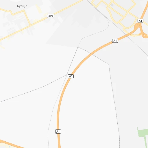
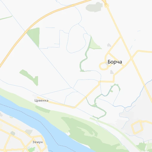
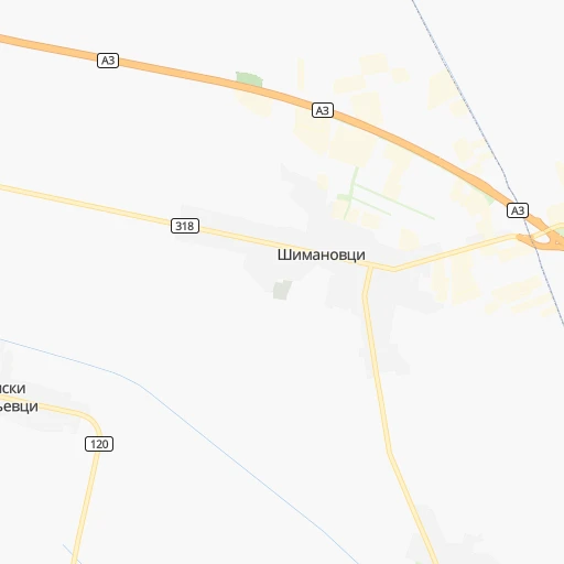
Roadmap (route) to go from Železnička Stanica Zemunsko Polje to Apatin detailed above, you can also see the course layout on the map.
While doing trip Železnička Stanica Zemunsko Polje - Apatin by car, the calculated route ends at a distance , or more straight.
Distance and duration of the route between Železnička Stanica Zemunsko Polje and Apatin
Calculation of distance and route from Apatin to Železnička Stanica Zemunsko Polje :
139.0169.6 km2h13mn
Continue onto Пружни пут 0h0mn 45 mTurn slight left onto Др Борислава Вујадиновића 0h1mn 295 mTurn right onto Курирска 0h1mn 765 mKeep right 0h0mn 51 mTurn slight right 0h2mn 1.7 kmTurn left onto Аутопут за Нови Сад 0h4mn 4.0 kmKeep right and take A1 toward Нови Сад / Novi Sad, Београд / Beograd 0h0mn 442 mKeep right and take A1 toward Нови Сад / Novi Sad 1h49mn 95.0 kmKeep right and take 15 toward Врбас / Vrbas, Србобран / Srbobran 0h1mn 356 mKeep right and take 19 toward Врбас / Vrbas 0h5mn 5.6 kmTurn left onto Његошева 0h1mn 1.2 kmTurn right onto Маршала Тита 0h3mn 2.2 kmTurn right onto Кларе Фејеш Мире 0h23mn 22.8 kmTurn left onto Балканска 0h20mn 16.3 kmTurn right onto Карађорђев плац 0h3mn 3.1 kmTurn left 0h14mn 12.0 kmAt roundabout, take exit 2 onto Пригревачка 0h4mn 3.7 kmTurn left 0h0mn 87 mArrive at destination 0h0mn 0 m
Travel from Železnička Stanica Zemunsko Polje (Vojvodina) to a selection of major cities.
Distances from Železnička Stanica Zemunsko Polje to biggest cities in Central Serbia
- Prokuplje,27,673 inhabitants.207 km
- Smederevska Palanka,27,000 inhabitants.74 km
- Knjazevac,25,000 inhabitants.210 km
- Arangelovac,24,309 inhabitants.64 km
- Gornji Milanovac,23,982 inhabitants.93 km
- Lazarevac,23,551 inhabitants.53 km
- Sremcica,23,000 inhabitants.21 km
- Cuprija,20,585 inhabitants.132 km
Other major cities in country :
Route from Apatin to major cities (Serbia).
- Distance Apatin Belgrade151 km
- Distance Apatin Nis349 km
- Distance Apatin Zemun144 km
- Distance Apatin Kragujevac239 km
- Distance Apatin Cacak226 km
- Distance Apatin Leskovac380 km
- Distance Apatin Novi Pazar307 km
- Distance Apatin Kraljevo255 km
- Distance Apatin Krusevac298 km
- Distance Apatin Uzice213 km
- Distance Apatin Smederevo189 km
- Distance Apatin Valjevo171 km
- Distance Apatin Vranje418 km
- Distance Apatin Sabac117 km
Nearest cities to Železnička Stanica Zemunsko Polje :
- Belgrade, 1,273,651 inhabitants. 12 km
- Nis, 250,000 inhabitants. 212 km
- Novi Sad, 215,400 inhabitants. 59 km
- Zemun, 155,591 inhabitants. 6 km
- Kragujevac, 147,473 inhabitants. 104 km
- Cacak, 117,072 inhabitants. 108 km
- Subotica, 100,000 inhabitants. 148 km
- Leskovac, 94,758 inhabitants. 244 km
- Novi Pazar, 85,996 inhabitants. 192 km
- Kraljevo, 82,846 inhabitants. 129 km
- Zrenjanin, 79,773 inhabitants. 59 km
- Pancevo, 76,654 inhabitants. 24 km
- Krusevac, 75,256 inhabitants. 163 km
- Uzice, 63,577 inhabitants. 118 km
- Smederevo, 62,000 inhabitants. 52 km
- Valjevo, 61,035 inhabitants. 73 km
- Vranje, 56,199 inhabitants. 286 km
- Sabac, 55,114 inhabitants. 52 km
- Zajecar, 49,800 inhabitants. 187 km
- Trstenik, 49,043 inhabitants. 148 km
- Sombor, 48,454 inhabitants. 140 km
- Kikinda, 41,935 inhabitants. 109 km
- Pozarevac, 41,736 inhabitants. 72 km
- Pirot, 40,678 inhabitants. 262 km
- Bor, 39,387 inhabitants. 165 km
- Sremska Mitrovica, 39,084 inhabitants. 58 km
- Vrsac, 36,300 inhabitants. 82 km
- Jagodina, 35,589 inhabitants. 123 km
- Ruma, 32,229 inhabitants. 44 km
- Backa Palanka, 29,449 inhabitants. 86 km
- Prokuplje, 27,673 inhabitants. 207 km
- Smederevska Palanka, 27,000 inhabitants. 74 km
- Ingija, 26,247 inhabitants. 29 km
- Vrbas, 25,907 inhabitants. 96 km
- Becej, 25,774 inhabitants. 88 km
- Knjazevac, 25,000 inhabitants. 210 km
- Arangelovac, 24,309 inhabitants. 64 km
- Gornji Milanovac, 23,982 inhabitants. 93 km
- Lazarevac, 23,551 inhabitants. 53 km
- Sremcica, 23,000 inhabitants. 21 km
- Cuprija, 20,585 inhabitants. 132 km
- Senta, 20,302 inhabitants. 121 km
- Apatin, 18,320 inhabitants. 139 km
- Negotin, 17,612 inhabitants. 188 km
- Obrenovac, 16,821 inhabitants. 25 km
- Stara Pazova, 16,217 inhabitants. 20 km
- Backa Topola, 16,154 inhabitants. 120 km
- Nova Pazova, 15,488 inhabitants. 13 km
- Kovin, 14,250 inhabitants. 52 km
- Petrovaradin, 13,917 inhabitants. 56 km
Location Železnička Stanica Zemunsko Polje (Central Serbia) :
| Country flag |  |
| Location | Železnička Stanica Zemunsko Polje |
| State | Central Serbia |
| County | Belgrade |
| Country | Serbia |
| Country code / ISO 2 | RS |
| Latitude | 44.8571300 |
| Longitude | 20.3342800 |
| Altitude | 0 meters |
| Time zone | Europe/Belgrade |
Location Apatin (Vojvodina) :
| Country flag | |
| Location | Apatin |
| State | Vojvodina |
| County | West Bačka |
| Country | Serbia |
| Country code / ISO 2 | RS |
| Latitude | 45.6711100 |
| Longitude | 18.9847200 |
| Altitude | 0 meters |
| Time zone | Europe/Belgrade |

