

How to get from Stantsiya Bochikha (Nizhny Novgorod Oblast) to Kstovo (Nizhny Novgorod Oblast)
Calculate route from Stantsiya Bochikha (Nizhny Novgorod Oblast, Russia) to Kstovo (Nizhny Novgorod Oblast, Russia).
The flight distance (as the crow flies) between Stantsiya Bochikha and Kstovo is 157.4 km.
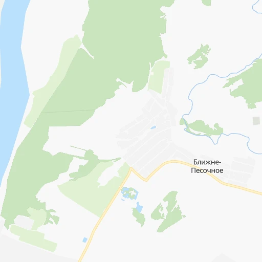
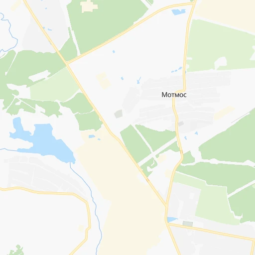
Roadmap (route) to go from Stantsiya Bochikha to Kstovo detailed above, you can also see the course layout on the map.
While doing trip Stantsiya Bochikha - Kstovo by car, the calculated route ends at a distance , or more straight.
Distance and duration of the route between Stantsiya Bochikha and Kstovo
Calculation of distance and route from Kstovo to Stantsiya Bochikha :
157.4196.5 km3h4mn
Continue 0h0mn 54 mTurn left 0h1mn 267 mKeep right 0h2mn 605 mTurn sharp left 0h0mn 64 mKeep right 0h2mn 559 mTurn left onto Досчатинское шоссе 0h0mn 264 mTurn right onto Досчатенская объездная 0h4mn 3.1 kmTurn left onto 22К-0040 0h14mn 13.9 kmTurn left onto 22К-0079 0h17mn 14.6 kmKeep right onto 22К-0039 2h37mn 102.5 kmKeep left onto улица Калинина 0h3mn 3.1 kmTurn right onto улица Ленина 0h8mn 7.7 kmKeep left 0h0mn 32 mTurn left onto 22К-0125 0h9mn 9.4 kmKeep right and take М-7 toward Уфа, Казань, Нижний Новгород 0h18mn 29.3 kmContinue onto 22К-0098 0h7mn 7.4 kmAt roundabout, take exit 2 0h2mn 2.3 kmAt roundabout, take exit 1 onto улица 40 лет Октября 0h1mn 884 mAt roundabout, take exit 2 0h0mn 90 mKeep right 0h0mn 116 mTurn left 0h0mn 31 mTurn left 0h0mn 54 mArrive at destination 0h0mn 0 m
Travel from Stantsiya Bochikha (Nizhny Novgorod Oblast) to a selection of major cities.
Distances from Stantsiya Bochikha to biggest cities in Nizhny Novgorod Oblast
Other major cities in country :
- Barnaul [04], 599,579 inhabitants. 2,671 km
- Vladivostok [59], 587,022 inhabitants. 6,198 km
- Irkutsk [20], 586,695 inhabitants. 3,963 km
- Khabarovsk [30], 579,000 inhabitants. 5,943 km
- Khabarovsk Vtoroy [30], 578,303 inhabitants. 5,949 km
- Orenburg [55], 550,204 inhabitants. 945 km
- Novokuznetsk [29], 539,616 inhabitants. 2,860 km
- Ryazan' [62], 520,173 inhabitants. 174 km
- Tyumen [78], 519,119 inhabitants. 1,455 km
- Lipetsk [43], 515,655 inhabitants. 349 km
- Penza [57], 512,602 inhabitants. 305 km
- Naberezhnyye Chelny [73], 509,870 inhabitants. 650 km
- Kalininskiy [42], 504,641 inhabitants. 865 km
- Astrakhan [07], 502,533 inhabitants. 1,085 km
- Makhachkala [17], 497,959 inhabitants. 1,432 km
- Tomsk [75], 485,519 inhabitants. 2,633 km
- Kemerovo [29], 477,090 inhabitants. 2,737 km
- Tula [76], 468,825 inhabitants. 316 km
- Kirov [33], 457,383 inhabitants. 582 km
- Cheboksary [16], 446,781 inhabitants. 334 km
Route from Kstovo to major cities (Russia).
- Distance Kstovo Moscow412 km
- Distance Kstovo Saint Petersburg918 km
- Distance Kstovo Novosibirsk2,408 km
- Distance Kstovo Yekaterinburg1,009 km
- Distance Kstovo Samara504 km
- Distance Kstovo Omsk1,827 km
- Distance Kstovo Kazan309 km
- Distance Kstovo Rostov-na-Donu1,039 km
- Distance Kstovo Chelyabinsk1,085 km
- Distance Kstovo Ufa758 km
- Distance Kstovo Volgograd827 km
- Distance Kstovo Perm757 km
- Distance Kstovo Krasnoyarsk2,960 km
- Distance Kstovo Saratov526 km
- Distance Kstovo Voronezh597 km
- Distance Kstovo Tol'yatti440 km
- Distance Kstovo Krasnodar1,289 km
- Distance Kstovo Ulyanovsk334 km
- Distance Kstovo Izhevsk558 km
- Distance Kstovo Yaroslavl310 km
Nearest cities to Stantsiya Bochikha :
- Nizhniy Novgorod, 1,284,164 inhabitants. 160 km
- Yaroslavl, 606,730 inhabitants. 287 km
- Ryazan', 520,173 inhabitants. 174 km
- Lipetsk, 515,655 inhabitants. 349 km
- Penza, 512,602 inhabitants. 305 km
- Ivanovo, 420,839 inhabitants. 195 km
- Vladimir, 310,024 inhabitants. 138 km
- Tambov, 290,933 inhabitants. 296 km
- Kostroma, 277,656 inhabitants. 277 km
- Dzerzhinsk, 233,126 inhabitants. 129 km
- Kovrov, 154,224 inhabitants. 121 km
- Murom, 126,931 inhabitants. 24 km
- Arzamas, 109,479 inhabitants. 110 km
- Michurinsk, 93,499 inhabitants. 294 km
- Kineshma, 92,983 inhabitants. 231 km
- Sarov, 88,000 inhabitants. 91 km
- Kstovo, 67,242 inhabitants. 158 km
- Pavlovo, 63,338 inhabitants. 92 km
- Novaya Balakhna, 63,083 inhabitants. 157 km
- Gus'-Khrustal'nyy, 62,746 inhabitants. 96 km
- Vyksa, 61,664 inhabitants. 7 km
- Shuya, 60,705 inhabitants. 171 km
- Bor, 60,647 inhabitants. 166 km
- Ruzayevka, 49,311 inhabitants. 233 km
- Gryazi, 47,413 inhabitants. 349 km
- Rasskazovo, 45,957 inhabitants. 301 km
- Kol'chugino, 45,912 inhabitants. 200 km
- Tutayev, 43,828 inhabitants. 322 km
- Morshansk, 43,311 inhabitants. 214 km
- Zavolzh'ye, 42,900 inhabitants. 163 km
- Vyazniki, 39,243 inhabitants. 98 km
- Vichuga, 39,071 inhabitants. 206 km
- Furmanov, 38,380 inhabitants. 219 km
- Kulebaki, 37,622 inhabitants. 28 km
- Bogorodsk, 36,652 inhabitants. 121 km
- Serdobsk, 36,652 inhabitants. 351 km
- Teykovo, 36,015 inhabitants. 193 km
- Kasimov, 35,355 inhabitants. 65 km
- Kotovsk, 33,077 inhabitants. 311 km
- Gorodets, 31,788 inhabitants. 167 km
- Rostov, 31,039 inhabitants. 263 km
- Shatura, 30,069 inhabitants. 164 km
- Sasovo, 29,858 inhabitants. 113 km
- Kokhma, 28,984 inhabitants. 186 km
- Rodniki, 27,681 inhabitants. 196 km
- Nerekhta, 25,352 inhabitants. 252 km
- Skopin, 24,357 inhabitants. 237 km
- Semenov, 24,300 inhabitants. 217 km
- Nizhniy Lomov, 23,835 inhabitants. 228 km
- Lyskovo, 23,570 inhabitants. 199 km
Location Stantsiya Bochikha (Nizhny Novgorod Oblast) :
| Country flag |  |
| Location | Stantsiya Bochikha |
| State | Nizhny Novgorod Oblast |
| County | |
| Country | Russia |
| Country code / ISO 2 | RU |
| Latitude | 55.3609000 |
| Longitude | 42.1049000 |
| Altitude | 0 meters |
| Time zone | Europe/Moscow |
Location Kstovo (Nizhny Novgorod Oblast) :
| Country flag | |
| Location | Kstovo |
| State | Nizhny Novgorod Oblast |
| County | |
| Country | Russia |
| Country code / ISO 2 | RU |
| Latitude | 56.1473300 |
| Longitude | 44.1978700 |
| Altitude | 0 meters |
| Time zone | Europe/Moscow |


