
How to get from Czarna Wieś (Podlasie) to Sokółka (Podlasie)
Calculate route from Czarna Wieś (Podlasie, Poland) to Sokółka (Podlasie, Poland).
The flight distance (as the crow flies) between Czarna Wieś and Sokółka is 17.7 km.
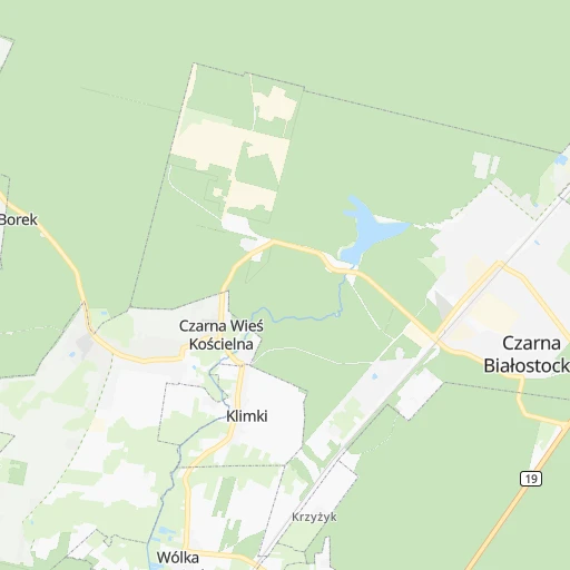
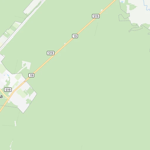
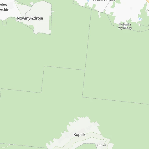
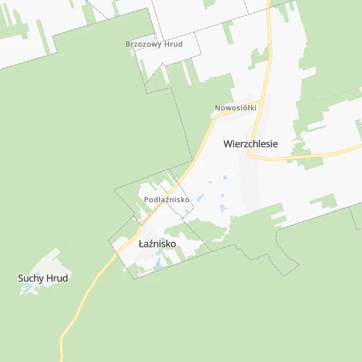
Roadmap (route) to go from Czarna Wieś to Sokółka detailed above, you can also see the course layout on the map.
While doing trip Czarna Wieś - Sokółka by car, the calculated route ends at a distance , or more straight.
Distance and duration of the route between Czarna Wieś and Sokółka
Calculation of distance and route from Sokółka to Czarna Wieś :
17.722.5 km0h23mn
Continue 0h2mn 414 mTurn slight right onto Zielona 0h0mn 61 mTurn left onto Makowa 0h0mn 71 mTurn right onto Chabrowa 0h0mn 140 mTurn right onto Tulipanów 0h0mn 71 mTurn left onto Kasztanowa 0h1mn 444 mTurn right onto Młynowa 0h1mn 295 mTurn sharp left onto Marszałkowska 0h0mn 24 mTurn slight right onto Marszałka Józefa Piłsudskiego 0h2mn 1.6 kmTurn left onto Białostocka 0h17mn 19.3 kmTurn sharp left 0h0mn 128 mArrive at destination 0h0mn 0 m
Travel from Czarna Wieś (Podlasie) to a selection of major cities.
Distances from Czarna Wieś to biggest cities in Podlasie
Other major cities in country :
- Praga Poludnie [78], 187,845 inhabitants. 190 km
- Bielsko-Biala [83], 176,515 inhabitants. 487 km
- Olsztyn [85], 171,803 inhabitants. 192 km
- Rzeszow [80], 158,382 inhabitants. 375 km
- Ursynow [78], 147,676 inhabitants. 199 km
- Ruda Slaska [83], 146,189 inhabitants. 457 km
- Wola [78], 143,996 inhabitants. 196 km
- Rybnik [83], 142,510 inhabitants. 485 km
- Bielany [78], 134,854 inhabitants. 195 km
- Srodmiescie [78], 134,306 inhabitants. 195 km
- Dabrowa Gornicza [83], 130,601 inhabitants. 435 km
- Tychy [83], 130,000 inhabitants. 462 km
- Opole [79], 127,676 inhabitants. 470 km
- Elblag [85], 127,558 inhabitants. 272 km
- Plock [78], 127,474 inhabitants. 255 km
- Walbrzych [72], 127,431 inhabitants. 556 km
- Gorzow Wielkopolski [76], 124,430 inhabitants. 543 km
- Targowek [78], 124,316 inhabitants. 189 km
- Wloclawek [73], 120,339 inhabitants. 292 km
- Zielona Gora [76], 118,433 inhabitants. 547 km
Route from Sokółka to major cities (Poland).
- Distance Sokółka Warsaw213 km
- Distance Sokółka Lodz328 km
- Distance Sokółka Krakow446 km
- Distance Sokółka Wroclaw510 km
- Distance Sokółka Poznan455 km
- Distance Sokółka Gdansk335 km
- Distance Sokółka Szczecin593 km
- Distance Sokółka Bydgoszcz367 km
- Distance Sokółka Lublin248 km
- Distance Sokółka Katowice466 km
- Distance Sokółka Gdynia348 km
- Distance Sokółka Czestochowa417 km
- Distance Sokółka Sosnowiec460 km
- Distance Sokółka Radom275 km
- Distance Sokółka Mokotow214 km
- Distance Sokółka Torun330 km
- Distance Sokółka Kielce344 km
- Distance Sokółka Gliwice479 km
- Distance Sokółka Zabrze472 km
- Distance Sokółka Bytom463 km
Nearest cities to Czarna Wieś :
- Warsaw, 1,702,139 inhabitants. 195 km
- Lublin, 360,044 inhabitants. 235 km
- Bialystok, 291,855 inhabitants. 22 km
- Radom, 226,794 inhabitants. 258 km
- Mokotow, 212,670 inhabitants. 196 km
- Kielce, 208,598 inhabitants. 327 km
- Praga Poludnie, 187,845 inhabitants. 190 km
- Olsztyn, 171,803 inhabitants. 192 km
- Ursynow, 147,676 inhabitants. 199 km
- Wola, 143,996 inhabitants. 196 km
- Bielany, 134,854 inhabitants. 195 km
- Srodmiescie, 134,306 inhabitants. 195 km
- Targowek, 124,316 inhabitants. 189 km
- Bemowo, 102,393 inhabitants. 199 km
- Praga Polnoc, 93,192 inhabitants. 192 km
- Ochota, 93,192 inhabitants. 197 km
- Bialoleka, 89,324 inhabitants. 191 km
- Siedlce, 77,185 inhabitants. 144 km
- Ostrowiec Swietokrzyski, 73,989 inhabitants. 296 km
- Suwalki, 69,222 inhabitants. 92 km
- Chelm, 68,043 inhabitants. 242 km
- Stalowa Wola, 66,495 inhabitants. 316 km
- Zamosc, 66,034 inhabitants. 289 km
- Lomza, 63,723 inhabitants. 83 km
- Wawer, 62,656 inhabitants. 189 km
- Biala Podlaska, 57,541 inhabitants. 143 km
- Elk, 55,769 inhabitants. 83 km
- Pruszkow, 55,371 inhabitants. 210 km
- Ostroleka, 53,740 inhabitants. 117 km
- Starachowice, 53,739 inhabitants. 295 km
- Zoliborz, 50,934 inhabitants. 194 km
- Legionowo, 50,786 inhabitants. 188 km
- Tarnobrzeg, 50,459 inhabitants. 325 km
- Pulawy, 49,759 inhabitants. 230 km
- Skarzysko-Kamienna, 49,410 inhabitants. 295 km
- Ursus, 47,285 inhabitants. 204 km
- Ciechanow, 46,438 inhabitants. 184 km
- Otwock, 43,388 inhabitants. 192 km
- Zyrardow, 41,179 inhabitants. 238 km
- Swidnik, 40,050 inhabitants. 237 km
- Minsk Mazowiecki, 37,027 inhabitants. 171 km
- Wolomin, 36,592 inhabitants. 175 km
- Piaseczno, 36,278 inhabitants. 205 km
- Wlochy, 36,276 inhabitants. 202 km
- Krasnik, 35,834 inhabitants. 276 km
- Lukow, 30,465 inhabitants. 166 km
- Gizycko, 29,972 inhabitants. 128 km
- Augustow, 29,752 inhabitants. 62 km
- Mlawa, 29,398 inhabitants. 195 km
- Gierloz, 28,351 inhabitants. 145 km
Location Czarna Wieś (Podlasie) :
| Country flag |  |
| Location | Czarna Wieś |
| State | Podlasie |
| County | Powiat białostocki |
| Country | Poland |
| Country code / ISO 2 | PL |
| Latitude | 53.3166700 |
| Longitude | 23.2833300 |
| Altitude | 0 meters |
| Time zone | Europe/Warsaw |
Location Sokółka (Podlasie) :
| Country flag | |
| Location | Sokółka |
| State | Podlasie |
| County | Powiat sokólski |
| Country | Poland |
| Country code / ISO 2 | PL |
| Latitude | 53.4071500 |
| Longitude | 23.5022800 |
| Altitude | 0 meters |
| Time zone | Europe/Warsaw |