
How to get from Rio Claro (airport) (São Paulo) to Santo André (São Paulo)
Calculate route from Rio Claro (airport) (São Paulo, Brazil) to Santo André (São Paulo, Brazil).
The flight distance (as the crow flies) between Rio Claro (airport) and Santo André is 172.5 km.
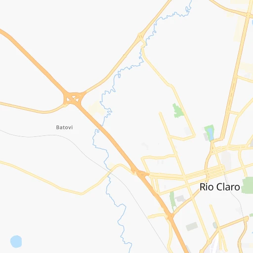
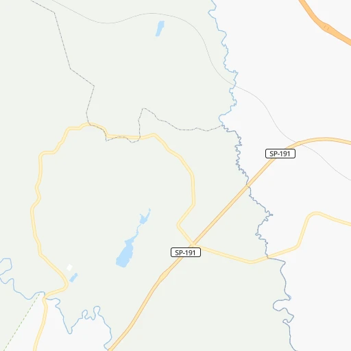
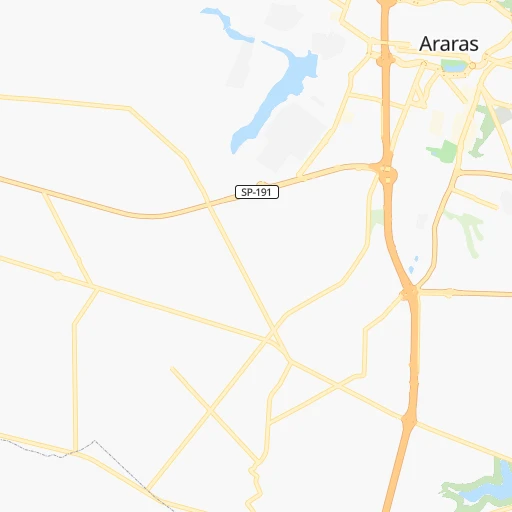
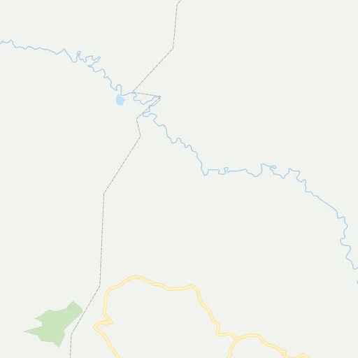
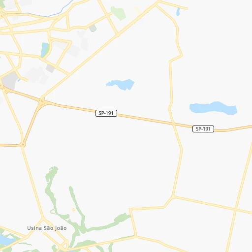
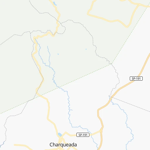
Roadmap (route) to go from Rio Claro Airport to Santo André detailed above, you can also see the course layout on the map.
While doing trip Rio Claro (airport) - Santo André by car, the calculated route ends at a distance , or more straight.
Distance and duration of the route between Rio Claro (airport) and Santo André
Calculation of distance and route from Santo André to Rio Claro (airport) :
172.5191.1 km2h13mn
Continue onto Avenida Marginal Anhanguera 0h0mn 196 mAt roundabout, take exit 5 onto Avenida Presidente Kennedy 0h1mn 750 mKeep right 0h12mn 19.6 kmKeep right and take SP-330, BR-050 toward Anhanguera, Limeira, Campinas, São Paulo 1h35mn 51.2 kmKeep left onto Rodovia Adalberto Panzan 1h50mn 88.2 kmKeep left onto Ponte Ulysses Guimarães and take SP-15 toward marginal tietê, dutra, ayrton senna 0h1mn 992 mKeep left and drive toward Centro, Aeroporto Guarulhos, Rodovia Dutra, Rodovia Ayrton Senna 0h0mn 399 mKeep left and take SP-015 toward Centro, Aeroporto Guarulhos, Rodovia Ayrton Senna 0h4mn 5.4 kmKeep right and drive toward Bom Retiro, Centro 0h1mn 1.1 kmKeep right onto Avenida Presidente Castelo Branco and drive toward Bom Retiro, Avenida do Estado, Centro 0h1mn 1.0 kmKeep right onto Avenida do Estado 0h4mn 2.7 kmTurn left onto Largo do Pari 0h0mn 172 mTurn sharp left onto Rua Mendes Caldeira 0h1mn 460 mTurn right onto Praça Domingues de Almeida Júnior 0h0mn 59 mTurn left onto Rua Professor Eurípedes Simoes de Paula 0h0mn 34 mTurn sharp right onto Rua Monsenhor Andrade 0h1mn 497 mTurn right onto Rua do Gasômetro 0h0mn 42 mTurn left onto Rua Jairo Góes 0h2mn 1.3 kmTurn left onto Rua da Mooca 0h3mn 2.2 kmTurn left onto Rua Sarapuí 0h0mn 115 mTurn right onto Rua Barão do Monte Santo 0h1mn 585 mTurn right onto Rua Dianópolis 0h3mn 2.6 kmTurn left onto Rua Tomás Izzo and drive toward São Caetano do Sul, Santo André, Vila Zelina 0h0mn 96 mKeep right onto Rua Tomás Izzo and drive toward São Caetano, Santo André 0h0mn 78 mKeep right onto Rua Ibitirama 0h1mn 731 mContinue onto Rua Ibitirama 0h1mn 920 mTurn left onto Avenida do Estado 0h1mn 1.3 kmTurn right onto Rua Herculano de Freitas 0h0mn 77 mKeep left onto Rua Humaita 0h0mn 75 mTurn left onto Rua Henrique Dias 0h1mn 672 mTurn left onto Rua Samuel Klein 0h0mn 46 mContinue onto Rua João Pessoa 0h0mn 217 mTurn right onto Rua Américo Brasiliense 0h3mn 3.0 kmTurn right onto Avenida Tietê 0h4mn 3.5 kmContinue onto Avenida Lino Jardim 0h1mn 521 mContinue onto Rua Haddock Lobo 0h0mn 64 mTurn right onto Rua Kowarick 0h1mn 358 mArrive at destination 0h0mn 0 m
Travel from Rio Claro (airport) (São Paulo) to a selection of major cities.
Distances from Rio Claro Airport to biggest cities in São Paulo
- Guaruja,310,424 inhabitants.219 km
- Franca,305,041 inhabitants.211 km
- Limeira,289,665 inhabitants.22 km
- Suzano,283,314 inhabitants.178 km
- Barueri,251,994 inhabitants.139 km
- Taubate,251,641 inhabitants.217 km
- Praia Grande,250,027 inhabitants.212 km
- Sumare,227,977 inhabitants.53 km
- Embu,221,733 inhabitants.154 km
- Taboao da Serra,214,523 inhabitants.155 km
- Jacarei,213,110 inhabitants.191 km
- Marilia,212,218 inhabitants.246 km
- Presidente Prudente,209,502 inhabitants.395 km
- Sao Carlos,205,035 inhabitants.57 km
- Hortolandia,203,533 inhabitants.59 km
- Itapevi,201,748 inhabitants.140 km
- Americana,196,022 inhabitants.42 km
- Santa Barbara d'Oeste,188,000 inhabitants.39 km
- Rio Claro,180,147 inhabitants.2 km
- Indaiatuba,179,911 inhabitants.82 km
Other major cities in country :
- Jaboatao dos Guararapes [30], 630,008 inhabitants. 2,084 km
- Contagem [15], 627,123 inhabitants. 458 km
- Uberlandia [15], 563,536 inhabitants. 398 km
- Cuiaba [14], 521,934 inhabitants. 1,176 km
- Aparecida de Goiania [29], 510,770 inhabitants. 649 km
- Aracaju [28], 490,175 inhabitants. 1,700 km
- Feira de Santana [05], 481,911 inhabitants. 1,453 km
- Londrina [18], 471,832 inhabitants. 382 km
- Juiz de Fora [15], 470,193 inhabitants. 441 km
- Belford Roxo [21], 466,096 inhabitants. 430 km
- Joinville [26], 461,304 inhabitants. 450 km
- Niteroi [21], 456,456 inhabitants. 461 km
- Sao Joao de Meriti [21], 454,849 inhabitants. 433 km
- Ananindeua [16], 433,956 inhabitants. 2,347 km
- Florianopolis [26], 412,724 inhabitants. 584 km
- Ribeirao das Neves [15], 406,802 inhabitants. 467 km
- Vila Velha [08], 394,930 inhabitants. 789 km
- Serra [08], 394,153 inhabitants. 795 km
- Campos dos Goytacazes [21], 387,417 inhabitants. 647 km
- Betim [15], 384,000 inhabitants. 444 km
Route from Santo André to major cities (Brazil).
- Distance Santo André Rio de Janeiro353 km
- Distance Santo André Salvador1,461 km
- Distance Santo André Fortaleza2,381 km
- Distance Santo André Belo Horizonte496 km
- Distance Santo André Brasilia890 km
- Distance Santo André Curitiba339 km
- Distance Santo André Manaus2,710 km
- Distance Santo André Recife2,137 km
- Distance Santo André Belem2,481 km
- Distance Santo André Porto Alegre848 km
- Distance Santo André Goiania828 km
- Distance Santo André Nova Iguacu332 km
- Distance Santo André Maceio1,936 km
- Distance Santo André Sao Luis2,365 km
- Distance Santo André Duque de Caxias344 km
- Distance Santo André Natal2,330 km
- Distance Santo André Teresina2,106 km
- Distance Santo André Campo Grande910 km
- Distance Santo André Jaboatao2,118 km
- Distance Santo André Joao Pessoa2,225 km
Nearest cities to Rio Claro (airport) :
- Sao Paulo, 10,021,295 inhabitants. 156 km
- Curitiba, 1,718,421 inhabitants. 376 km
- Guarulhos, 1,169,577 inhabitants. 156 km
- Campinas, 1,031,554 inhabitants. 74 km
- Sao Bernardo do Campo, 743,372 inhabitants. 174 km
- Osasco, 677,856 inhabitants. 146 km
- Santo Andre, 662,373 inhabitants. 173 km
- Ribeirao Preto, 619,746 inhabitants. 142 km
- Sao Jose dos Campos, 613,764 inhabitants. 191 km
- Sorocaba, 558,862 inhabitants. 120 km
- Santos, 411,403 inhabitants. 212 km
- Diadema, 390,633 inhabitants. 170 km
- Maua, 386,069 inhabitants. 178 km
- Sao Jose do Rio Preto, 374,699 inhabitants. 260 km
- Carapicuiba, 361,112 inhabitants. 143 km
- Piracicaba, 342,209 inhabitants. 34 km
- Itaquaquecetuba, 336,679 inhabitants. 171 km
- Bauru, 335,024 inhabitants. 155 km
- Mogi das Cruzes, 325,746 inhabitants. 186 km
- Sao Vicente, 324,457 inhabitants. 208 km
- Jundiai, 321,589 inhabitants. 109 km
- Guaruja, 310,424 inhabitants. 219 km
- Franca, 305,041 inhabitants. 211 km
- Ponta Grossa, 292,177 inhabitants. 397 km
- Limeira, 289,665 inhabitants. 22 km
- Suzano, 283,314 inhabitants. 178 km
- Uberaba, 260,843 inhabitants. 301 km
- Barueri, 251,994 inhabitants. 139 km
- Taubate, 251,641 inhabitants. 217 km
- Praia Grande, 250,027 inhabitants. 212 km
- Sumare, 227,977 inhabitants. 53 km
- Embu, 221,733 inhabitants. 154 km
- Colombo, 217,000 inhabitants. 360 km
- Taboao da Serra, 214,523 inhabitants. 155 km
- Jacarei, 213,110 inhabitants. 191 km
- Marilia, 212,218 inhabitants. 246 km
- Sao Carlos, 205,035 inhabitants. 57 km
- Hortolandia, 203,533 inhabitants. 59 km
- Itapevi, 201,748 inhabitants. 140 km
- Americana, 196,022 inhabitants. 42 km
- Divinopolis, 193,832 inhabitants. 376 km
- Santa Barbara d'Oeste, 188,000 inhabitants. 39 km
- Rio Claro, 180,147 inhabitants. 2 km
- Indaiatuba, 179,911 inhabitants. 82 km
- Cotia, 174,828 inhabitants. 146 km
- Francisco Morato, 171,790 inhabitants. 127 km
- Aracatuba, 170,024 inhabitants. 326 km
- Araraquara, 168,468 inhabitants. 95 km
- Ferraz de Vasconcelos, 167,900 inhabitants. 174 km
- Itapecerica da Serra, 151,605 inhabitants. 161 km
Location Rio Claro (airport) (São Paulo) :
| Country flag |  |
| Location | Rio Claro (airport) |
| State | São Paulo |
| County | Rio Claro |
| Country | Brazil |
| Country code / ISO 2 | BR |
| Latitude | -22.4311000 |
| Longitude | -47.5642000 |
| Altitude | 0 meters |
| Time zone | America/Sao_Paulo |
Location Santo André (São Paulo) :
| Country flag | |
| Location | Santo André |
| State | São Paulo |
| County | Santo André |
| Country | Brazil |
| Country code / ISO 2 | BR |
| Latitude | -23.6638900 |
| Longitude | -46.5383300 |
| Altitude | 0 meters |
| Time zone | America/Sao_Paulo |


