
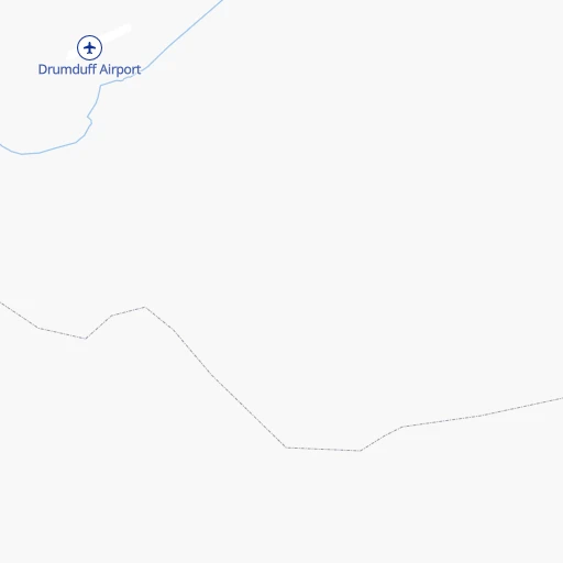
How to get from Drumduff (airport) (Queensland) to Morayfield (Queensland)
Calculate route from Drumduff (airport) (Queensland, Australia) to Morayfield (Queensland, Australia).
The flight distance (as the crow flies) between Drumduff (airport) and Morayfield is 1,599.5 km.
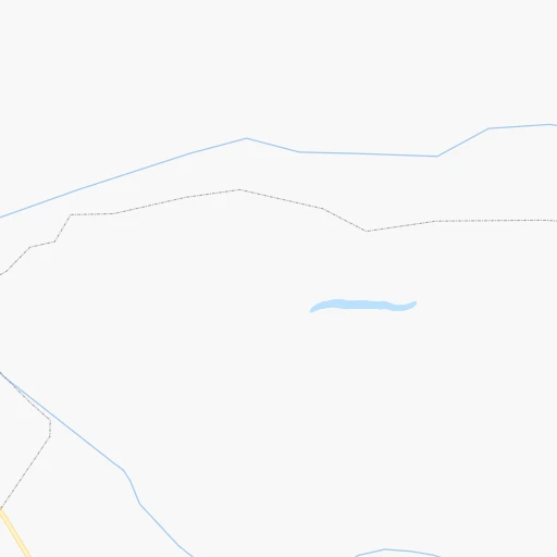
Roadmap (route) to go from Drumduff Airport to Morayfield detailed above, you can also see the course layout on the map.
While doing trip Drumduff (airport) - Morayfield by car, the calculated route ends at a distance , or more straight.
Distance and duration of the route between Drumduff (airport) and Morayfield
Calculation of distance and route from Morayfield to Drumduff (airport) :
1,599.52,011.5 km32h39mn
Continue onto Drumduff-Koolatah Road 2h19mn 40.6 kmTurn left onto Burke Developmental Road 8h2mn 272.0 kmTurn right onto Herberton Petford Road 1h15mn 37.4 kmTurn left onto Hales Siding Road 0h24mn 11.9 kmTurn left onto Herberton Petford Road 0h11mn 6.4 kmContinue onto Moffat Street West 0h7mn 7.1 kmTurn right onto Silver Valley Road 0h1mn 648 mTurn sharp left onto James Road 0h6mn 3.2 kmTurn right onto Longlands Gap Road 0h8mn 12.1 kmTurn right onto Kennedy Highway 0h6mn 8.8 kmTurn left onto East Evelyn Road 0h7mn 10.7 kmTurn right onto Millaa Millaa Malanda Road 1h35mn 50.1 kmTurn right onto Henderson Drive 0h7mn 6.7 kmTurn right onto Innisfail Japoon Road 0h2mn 2.4 kmTurn left onto Green Street 0h2mn 2.0 kmTurn sharp right onto Wilkie Grey Road 0h0mn 429 mTurn left onto Sorbello Road 0h1mn 877 mTurn right onto South Johnstone Road 0h2mn 830 mTurn right onto Ramleigh Road 0h0mn 51 mTurn slight left onto Ramleigh Road 0h1mn 2.2 kmTurn sharp right onto Moresby Road 0h0mn 144 mTurn left onto Gundah Singh Road 0h0mn 84 mTurn right onto Bruce Highway 1h55mn 79.4 kmTurn slight left onto Victoria Street 0h2mn 2.4 kmAt roundabout, take exit 2 onto Victoria Street 2h39mn 145.4 kmKeep left onto Bruce Highway and take 14 toward City 0h4mn 5.4 kmKeep left onto Woolcock Road 0h5mn 6.3 kmAt roundabout, take exit 2 onto Woolcock Street 0h1mn 754 mAt roundabout, take exit 2 onto Woolcock Street 0h1mn 1.6 kmTurn right onto Hugh Street 0h2mn 2.1 kmTurn left onto Fulham Road 0h1mn 890 mAt roundabout, take exit 2 onto Balls Lane 0h1mn 784 mContinue 0h0mn 14 mTurn right onto Bowen Road 0h2mn 2.1 kmAt roundabout, take exit 2 onto Bowen Road 0h1mn 926 mKeep left and take A1 toward Racecourse Road 0h0mn 130 mTurn left onto Racecourse Road 1h58mn 79.7 kmTurn right onto Jones Street 0h3mn 3.1 kmAt roundabout, take exit 3 onto Bruce Highway 0h2mn 2.1 kmContinue onto Bruce Highway 1h16mn 108.8 kmTurn right onto Bruce Highway 2h5mn 181.1 kmAt roundabout, take exit 2 onto Mackay Ring Road 0h6mn 8.9 kmAt roundabout, take exit 1 onto Mackay Ring Road 0h2mn 2.5 kmAt roundabout, take exit 3 onto Bruce Highway 0h12mn 16.9 kmAt roundabout, take exit 2 onto Bruce Highway 0h8mn 11.3 kmAt roundabout, take exit 2 onto Broad Street 3h8mn 287.9 kmAt roundabout, take exit 2 onto Yaamba Road (Bruce Highway) 0h7mn 7.8 kmContinue onto Musgrave Street 0h4mn 4.0 kmTurn left onto George Street (Bruce Highway) 0h1mn 779 mContinue onto Gladstone Road (Bruce Highway) 0h3mn 3.0 kmKeep left onto Bruce Highway and take A1 toward Mount Larcom, Brisbane 3h20mn 291.6 kmTurn right onto Booyal-Dallarnil Road 0h22mn 18.2 kmTurn right onto Isis Highway 0h15mn 16.3 kmKeep left onto Alice Street 0h1mn 848 mContinue onto Alice Street 0h1mn 637 mTurn left onto George Street 0h24mn 26.4 kmTurn right onto Brooweena - Woolooga Road 1h34mn 47.9 kmTurn right onto Bauple - Woolooga Road 0h6mn 9.3 kmTurn left onto Wide Bay Highway 0h14mn 20.4 kmAt roundabout, take exit 2 onto Bruce Highway 1h24mn 127.4 kmKeep left and drive toward Toorbul, Donnybrook 0h1mn 620 mKeep right and drive toward Caboolture 0h0mn 69 mTurn right onto Pumicestone Road 0h2mn 2.1 kmAt roundabout, take exit 2 onto Pumicestone Road 0h3mn 2.9 kmKeep left 0h0mn 33 mTurn left onto Beerburrum Road 0h5mn 4.2 kmAt roundabout, take exit 1 onto Station Road 0h0mn 13 mArrive at destination 0h0mn 0 m
Travel from Drumduff (airport) (Queensland) to a selection of major cities.
Distances from Drumduff Airport to biggest cities in Queensland
Other major cities in country :
Route from Morayfield to major cities (Australia).
- Distance Morayfield Sydney771 km
- Distance Morayfield Melbourne1,407 km
- Distance Morayfield Perth3,615 km
- Distance Morayfield Adelaide1,620 km
- Distance Morayfield Canberra980 km
- Distance Morayfield Newcastle657 km
- Distance Morayfield Wollongong838 km
- Distance Morayfield Geelong1,467 km
- Distance Morayfield Hobart1,828 km
- Distance Morayfield Darwin2,824 km
- Distance Morayfield Rockingham3,627 km
- Distance Morayfield Launceston1,681 km
- Distance Morayfield Bendigo1,349 km
- Distance Morayfield Ballarat1,443 km
- Distance Morayfield Mandurah3,627 km
- Distance Morayfield Bunbury3,635 km
- Distance Morayfield Maitland640 km
- Distance Morayfield Armadale3,601 km
- Distance Morayfield Adelaide Hills1,610 km
Nearest cities to Drumduff (airport) :
Location Drumduff (airport) (Queensland) :
| Country flag |  |
| Location | Drumduff (airport) |
| State | Queensland |
| County | Cook Shire |
| Country | Australia |
| Country code / ISO 2 | AU |
| Latitude | -16.0530000 |
| Longitude | 143.0119900 |
| Altitude | 0 meters |
| Time zone | Australia/Brisbane |
Location Morayfield (Queensland) :
| Country flag | |
| Location | Morayfield |
| State | Queensland |
| County | Moreton Bay |
| Country | Australia |
| Country code / ISO 2 | AU |
| Latitude | -27.1087600 |
| Longitude | 152.9490700 |
| Altitude | 0 meters |
| Time zone | Australia/Brisbane |


