
How to get from Balsas (airport) (Maranhão) to Estreito (Maranhão)
Calculate route from Balsas (airport) (Maranhão, Brazil) to Estreito (Maranhão, Brazil).
The flight distance (as the crow flies) between Balsas (airport) and Estreito is 365.0 km.
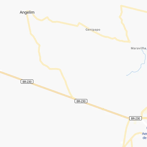
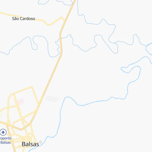
Roadmap (route) to go from Balsas Airport to Estreito detailed above, you can also see the course layout on the map.
While doing trip Balsas (airport) - Estreito by car, the calculated route ends at a distance , or more straight.
Distance and duration of the route between Balsas (airport) and Estreito
Calculation of distance and route from Estreito to Balsas (airport) :
365.0437.5 km8h4mn
Continue onto Rua Ayrton Senna 0h0mn 55 mTurn left onto Rua Cinco 0h1mn 392 mTurn left onto Rua Luís Gomes 0h1mn 875 mTurn left onto Rua Maria Bezerra 0h0mn 214 mContinue onto Rua Vicente Dourado da Silva 0h0mn 10 mTurn slight right onto Rua Vereador José Ferreira 0h0mn 130 mAt roundabout, take exit 2 onto Avenida Doutor José Bernardino 0h0mn 102 mTurn right onto Rua Gabriel Miranda 0h1mn 307 mTurn left onto Rua Duque de Caxias 0h0mn 114 mContinue onto Rua Duque de Caxias 0h0mn 149 mTurn slight right onto BR-230 0h0mn 189 mAt roundabout, take exit 2 onto BR-230, MA-006 0h0mn 455 mAt roundabout, take exit 3 onto BR-230, MA-006 4h3mn 267.6 kmTurn left 0h4mn 2.2 kmKeep left 0h11mn 5.5 kmKeep right 0h26mn 12.8 kmTurn left onto Avenida São Luis 0h1mn 588 mKeep right onto Rua da Liberdade 0h0mn 165 mTurn right onto Avenida Primeiro de Maio 0h0mn 17 mMake a U-turn onto Avenida Primeiro de Maio 0h0mn 113 mTurn slight right onto BR-135 0h18mn 19.3 kmTurn right onto MA-134 0h27mn 27.3 kmAt roundabout, take exit 1 onto MA-134 0h1mn 873 mContinue onto Rua Siqueira Campos 0h20mn 22.2 kmTurn right onto MA-282 0h21mn 20.9 kmTurn left onto MA-036 0h21mn 10.3 kmTurn slight left onto MA-036 0h15mn 7.5 kmTurn right 0h1mn 251 mTurn left 0h0mn 166 mTurn right onto MA-036 0h30mn 14.9 kmTurn left onto MA-036 0h26mn 13.2 kmTurn right 0h1mn 439 mContinue onto MA-036 0h8mn 4.1 kmTurn right 0h1mn 452 mTurn slight right 0h3mn 2.4 kmTurn left 0h3mn 1.3 kmArrive at destination 0h0mn 0 m
Travel from Balsas (airport) (Maranhão) to a selection of major cities.
Distances from Balsas Airport to biggest cities in Maranhão
- Colinas,25,158 inhabitants.260 km
- Pindare Mirim,22,933 inhabitants.443 km
- Santa Luzia,22,909 inhabitants.129 km
- Cururupu,22,007 inhabitants.648 km
- Vargem Grande,21,419 inhabitants.503 km
Other major cities in country :
- Campo Grande [11], 729,151 inhabitants. 1,710 km
- Jaboatao [30], 702,621 inhabitants. 1,221 km
- Osasco [27], 677,856 inhabitants. 1,784 km
- Santo Andre [27], 662,373 inhabitants. 1,797 km
- Joao Pessoa [17], 650,883 inhabitants. 1,236 km
- Jaboatao dos Guararapes [30], 630,008 inhabitants. 1,219 km
- Contagem [15], 627,123 inhabitants. 1,398 km
- Ribeirao Preto [27], 619,746 inhabitants. 1,531 km
- Sao Jose dos Campos [27], 613,764 inhabitants. 1,743 km
- Uberlandia [15], 563,536 inhabitants. 1,291 km
- Sorocaba [27], 558,862 inhabitants. 1,785 km
- Cuiaba [14], 521,934 inhabitants. 1,416 km
- Aparecida de Goiania [29], 510,770 inhabitants. 1,092 km
- Aracaju [28], 490,175 inhabitants. 1,056 km
- Feira de Santana [05], 481,911 inhabitants. 939 km
- Londrina [18], 471,832 inhabitants. 1,840 km
- Juiz de Fora [15], 470,193 inhabitants. 1,611 km
- Belford Roxo [21], 466,096 inhabitants. 1,720 km
- Joinville [26], 461,304 inhabitants. 2,111 km
- Niteroi [21], 456,456 inhabitants. 1,738 km
Route from Estreito to major cities (Brazil).
- Distance Estreito Sao Paulo2,011 km
- Distance Estreito Rio de Janeiro1,906 km
- Distance Estreito Salvador954 km
- Distance Estreito Fortaleza571 km
- Distance Estreito Belo Horizonte1,576 km
- Distance Estreito Brasilia1,225 km
- Distance Estreito Curitiba2,279 km
- Distance Estreito Manaus1,885 km
- Distance Estreito Recife959 km
- Distance Estreito Belem757 km
- Distance Estreito Porto Alegre2,826 km
- Distance Estreito Goiania1,378 km
- Distance Estreito Guarulhos1,999 km
- Distance Estreito Campinas1,949 km
- Distance Estreito Nova Iguacu1,890 km
- Distance Estreito Maceio935 km
- Distance Estreito Duque de Caxias1,893 km
- Distance Estreito Natal890 km
- Distance Estreito Teresina92 km
- Distance Estreito Sao Bernardo do Campo2,025 km
Nearest cities to Balsas (airport) :
- Imperatriz, 218,106 inhabitants. 274 km
- Palmas, 196,272 inhabitants. 386 km
- Caxias, 148,072 inhabitants. 421 km
- Araguaina, 105,019 inhabitants. 241 km
- Barra do Corda, 86,662 inhabitants. 242 km
- Balsas, 68,056 inhabitants. 2 km
- Presidente Dutra, 30,330 inhabitants. 303 km
- Grajau, 30,217 inhabitants. 190 km
- Colinas, 25,158 inhabitants. 260 km
- Santa Luzia, 22,909 inhabitants. 129 km
- Sao Joao dos Patos, 19,538 inhabitants. 284 km
- Sao Domingos do Maranhao, 18,275 inhabitants. 285 km
- Buriti Bravo, 17,692 inhabitants. 309 km
- Estreito, 17,647 inhabitants. 366 km
- Tuntum, 16,402 inhabitants. 296 km
- Carolina, 16,228 inhabitants. 157 km
- Dom Pedro, 15,570 inhabitants. 330 km
- Porto Franco, 14,873 inhabitants. 199 km
- Esperantinopolis, 13,166 inhabitants. 331 km
- Sao Geraldo do Araguaia, 12,925 inhabitants. 303 km
- Bom Jesus, 12,666 inhabitants. 254 km
- Riachao, 12,427 inhabitants. 65 km
- Paraibano, 12,363 inhabitants. 259 km
- Bom Jardim, 12,343 inhabitants. 74 km
- Pocao de Pedras, 12,337 inhabitants. 345 km
- Urucui, 12,243 inhabitants. 169 km
- Parnarama, 12,201 inhabitants. 386 km
- Raposa, 11,883 inhabitants. 235 km
- Amarante do Maranhao, 11,510 inhabitants. 231 km
- Pastos Bons, 10,468 inhabitants. 241 km
- Sao Raimundo das Mangabeiras, 10,216 inhabitants. 85 km
- Fortuna, 9,755 inhabitants. 289 km
- Passagem Franca, 7,376 inhabitants. 292 km
- Mirador, 6,955 inhabitants. 227 km
- Gilbues, 4,920 inhabitants. 268 km
- Morros, 4,829 inhabitants. 216 km
- Palmeirais, 4,262 inhabitants. 373 km
- Montes Altos, 3,518 inhabitants. 219 km
Location Balsas (airport) (Maranhão) :
| Country flag |  |
| Location | Balsas (airport) |
| State | Maranhão |
| County | Balsas |
| Country | Brazil |
| Country code / ISO 2 | BR |
| Latitude | -7.5260300 |
| Longitude | -46.0533000 |
| Altitude | 0 meters |
| Time zone | America/Fortaleza |
Location Estreito (Maranhão) :
| Country flag | |
| Location | Estreito |
| State | Maranhão |
| County | Parnarama |
| Country | Brazil |
| Country code / ISO 2 | BR |
| Latitude | -5.7833300 |
| Longitude | -43.2500000 |
| Altitude | 0 meters |
| Time zone | America/Fortaleza |