


How to get from Obbia (airport) (Mudug) to Beledweyne (Hiiraan)
Calculate route from Obbia (airport) (Mudug, Somalia) to Beledweyne (Hiiraan, Somalia).
The flight distance (as the crow flies) between Obbia (airport) and Beledweyne is 373.4 km.
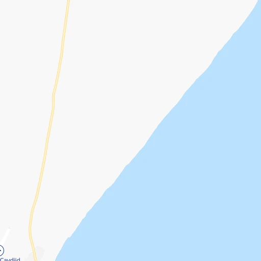
Roadmap (route) to go from Obbia Airport to Beledweyne detailed above, you can also see the course layout on the map.
While doing trip Obbia (airport) - Beledweyne by car, the calculated route ends at a distance , or more straight.
Distance and duration of the route between Obbia (airport) and Beledweyne
Calculation of distance and route from Beledweyne to Obbia (airport) :
373.4503.3 km16h32mn
Continue 0h3mn 1.4 kmTurn slight right onto Hobyo highway 0h1mn 1.0 kmTurn right 1h37mn 30.1 kmKeep left 1h7mn 33.4 kmKeep left 0h3mn 1.5 kmKeep left 0h1mn 541 mTurn left 2h30mn 40.0 kmKeep left 1h32mn 16.0 kmTurn right 0h8mn 3.9 kmKeep left 0h7mn 3.5 kmTurn left 0h1mn 748 mTurn right 0h8mn 4.2 kmTurn right 0h13mn 6.6 kmContinue onto Gian Der - Galxagarre Road 1h15mn 37.7 kmTurn right 0h22mn 11.1 kmKeep right 0h13mn 6.7 kmKeep left 1h37mn 18.6 kmKeep right 0h14mn 7.0 kmKeep left 1h50mn 25.1 kmKeep left 0h15mn 7.7 kmTurn sharp left onto Cadaado - Dhuusamareeb Highway 1h3mn 68.9 kmTurn right onto Dhuusamareeb - Guriceel 4h23mn 154.2 kmTurn sharp left 0h21mn 10.5 kmKeep right 0h5mn 2.6 kmKeep right 0h1mn 621 mKeep left 0h1mn 535 mKeep right 0h2mn 1.1 kmKeep left 0h0mn 205 mKeep left 0h1mn 613 mKeep left 0h1mn 598 mContinue onto Beledweyne - Bacad Highway 0h12mn 6.1 kmTurn slight right 0h1mn 413 mTurn right 0h0mn 32 mArrive at destination 0h0mn 0 m
Travel from Obbia (airport) (Hiiraan) to a selection of major cities.
Distances from Obbia Airport to biggest cities in Mudug
Other major cities in country :
Route from Beledweyne to major cities (Somalia).
- Distance Beledweyne Mogadishu301 km
- Distance Beledweyne Hargeysa552 km
- Distance Beledweyne Berbera635 km
- Distance Beledweyne Kismayo639 km
- Distance Beledweyne Marka340 km
- Distance Beledweyne Jamaame587 km
- Distance Beledweyne Baidoa250 km
- Distance Beledweyne Burao534 km
- Distance Beledweyne Bosaso851 km
- Distance Beledweyne Afgooye289 km
- Distance Beledweyne Gaalkacyo335 km
- Distance Beledweyne Laascaanood480 km
- Distance Beledweyne Garoowe546 km
- Distance Beledweyne Qoryooley337 km
Nearest cities to Obbia (airport) :
- Gaalkacyo, 61,200 inhabitants. 197 km
- Ceeldheer, 26,562 inhabitants. 225 km
- Eyl, 18,904 inhabitants. 324 km
- Buulobarde, 16,928 inhabitants. 368 km
- Hobyo, 12,564 inhabitants. 2 km
- Jalalaqsi, 9,743 inhabitants. 392 km
- Ceelbuur, 9,031 inhabitants. 224 km
- Dhuusamarreeb, 9,000 inhabitants. 237 km
- Mahaddayweyne, 8,273 inhabitants. 425 km
- Cadale, 5,385 inhabitants. 379 km
Location Obbia (airport) (Mudug) :
| Country flag |  |
| Location | Obbia (airport) |
| State | Mudug |
| County | |
| Country | Somalia |
| Country code / ISO 2 | SO |
| Latitude | 5.3666700 |
| Longitude | 48.5166700 |
| Altitude | 0 meters |
| Time zone | Africa/Mogadishu |
Location Beledweyne (Hiiraan) :
| Country flag | |
| Location | Beledweyne |
| State | Hiiraan |
| County | |
| Country | Somalia |
| Country code / ISO 2 | SO |
| Latitude | 4.7358300 |
| Longitude | 45.2036100 |
| Altitude | 0 meters |
| Time zone | Africa/Mogadishu |