
How to get from Jackson Station (Michigan) to Cleveland (Ohio)
Calculate route from Jackson Station (Michigan, United States) to Cleveland (Ohio, United States).
The flight distance (as the crow flies) between Jackson Station and Cleveland is 238.7 km.
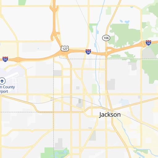
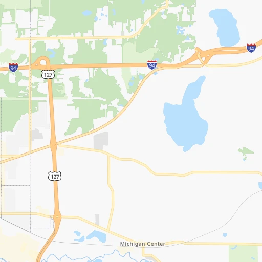
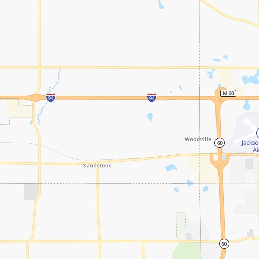
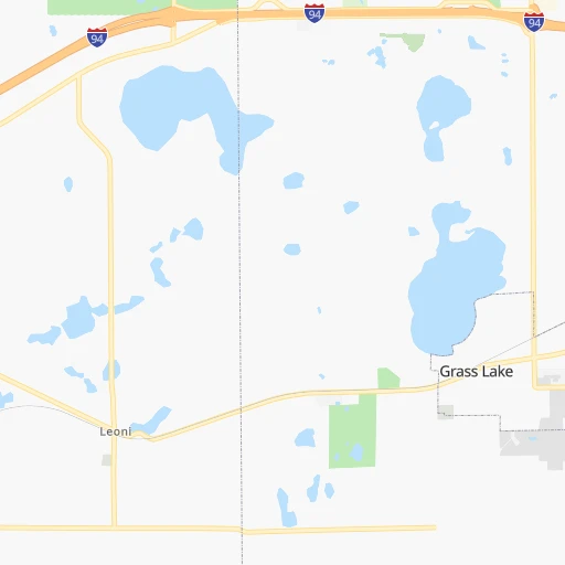
Roadmap (route) to go from Jackson Station to Cleveland detailed above, you can also see the course layout on the map.
While doing trip Jackson Station - Cleveland by car, the calculated route ends at a distance , or more straight.
Distance and duration of the route between Jackson Station and Cleveland
Calculation of distance and route from Cleveland to Jackson Station :
238.7291.1 km4h31mn
Continue onto Jackson Amtrak Station Access 0h0mn 48 mTurn left onto South Park Avenue 0h0mn 42 mTurn left onto East Michigan Avenue 0h0mn 100 mTurn left onto South Cooper Street 0h6mn 7.2 kmContinue onto US 127 0h15mn 17.4 kmAt roundabout, take exit 2 onto US 223 1h52mn 59.1 kmTurn right onto Memorial Highway 0h8mn 10.1 kmTurn slight right onto Main Street 0h3mn 1.8 kmContinue onto North Holland-Sylvania Road 0h3mn 3.5 kmTurn left onto West Central Avenue 0h1mn 745 mKeep right onto US 20 0h0mn 86 mContinue onto North Reynolds Road 0h3mn 2.8 kmTurn slight right onto North Reynolds Road 0h6mn 6.7 kmContinue onto South Reynolds Road 0h0mn 166 mKeep right 0h0mn 521 mKeep right 1h18mn 132.1 kmKeep right onto Ohio Turnpike Connector 0h29mn 43.7 kmKeep right and drive toward West 44th Street, West 41st Street 0h0mn 505 mContinue onto South Marginal 0h0mn 259 mTurn sharp left onto West 41st Street 0h1mn 666 mTurn right onto Lorain Avenue 0h0mn 223 mTurn left onto Fulton Road 0h1mn 728 mAt roundabout, take exit 2 onto West 28th Street 0h1mn 477 mTurn right toward SR 2 East 0h1mn 1.2 kmKeep right and drive toward Lakeside Avenue, West 6th Street 0h0mn 240 mKeep left 0h0mn 187 mTurn right onto West 3rd Street 0h0mn 219 mTurn left onto West Saint Clair Avenue 0h0mn 177 mTurn right onto Ontario Street 0h0mn 133 mTurn right onto Rockwell Avenue 0h0mn 76 mTurn right onto Frankfort Avenue 0h0mn 56 mArrive at destination 0h0mn 0 m
Travel from Jackson Station (Ohio) to a selection of major cities.
Distances from Jackson Station to biggest cities in Michigan
- West Bloomfield Township,64,690 inhabitants.91 km
- Taylor,61,568 inhabitants.93 km
- Pontiac,59,917 inhabitants.101 km
- Saint Clair Shores,59,715 inhabitants.127 km
- Royal Oak,59,008 inhabitants.107 km
- Novi,58,723 inhabitants.80 km
- Dearborn Heights,56,145 inhabitants.93 km
- Battle Creek,51,589 inhabitants.65 km
- Kentwood,51,357 inhabitants.123 km
- Redford,49,936 inhabitants.92 km
- Saginaw,49,347 inhabitants.135 km
- East Lansing,48,471 inhabitants.55 km
- Portage,48,177 inhabitants.97 km
- Roseville,47,637 inhabitants.123 km
- Midland,42,200 inhabitants.153 km
- Muskegon,38,401 inhabitants.187 km
- Lincoln Park,37,012 inhabitants.101 km
- Bay City,33,917 inhabitants.156 km
- Holland,33,742 inhabitants.153 km
- Jackson,33,133 inhabitants.0 km
Other major cities in country :
- Charlotte [NC], 827,097 inhabitants. 840 km
- Seattle [WA], 684,451 inhabitants. 3,017 km
- Denver [CO], 682,545 inhabitants. 1,748 km
- El Paso [TX], 681,124 inhabitants. 2,274 km
- Boston [MA], 667,137 inhabitants. 1,097 km
- Memphis [TN], 655,770 inhabitants. 930 km
- New South Memphis [TN], 641,608 inhabitants. 936 km
- Portland [OR], 632,309 inhabitants. 3,063 km
- Oklahoma City [OK], 631,346 inhabitants. 1,362 km
- Las Vegas [NV], 623,747 inhabitants. 2,720 km
- Baltimore [MD], 621,849 inhabitants. 734 km
- Washington, D.C. [DC], 601,723 inhabitants. 726 km
- Milwaukee [WI], 600,155 inhabitants. 300 km
- South Boston [MA], 571,281 inhabitants. 1,098 km
- Albuquerque [NM], 559,121 inhabitants. 2,084 km
- Tucson [AZ], 531,641 inhabitants. 2,588 km
- Nashville [TN], 530,852 inhabitants. 708 km
- Fresno [CA], 520,052 inhabitants. 3,077 km
- Sacramento [CA], 490,712 inhabitants. 3,145 km
- Kansas City [MO], 475,378 inhabitants. 927 km
Route from Cleveland to major cities (United States).
- Distance Cleveland New York City651 km
- Distance Cleveland Los Angeles3,294 km
- Distance Cleveland Chicago497 km
- Distance Cleveland Brooklyn657 km
- Distance Cleveland Houston1,794 km
- Distance Cleveland Queens665 km
- Distance Cleveland Philadelphia577 km
- Distance Cleveland Phoenix2,812 km
- Distance Cleveland Manhattan653 km
- Distance Cleveland San Antonio2,025 km
- Distance Cleveland San Diego3,271 km
- Distance Cleveland The Bronx660 km
- Distance Cleveland Dallas1,651 km
- Distance Cleveland San Jose3,456 km
- Distance Cleveland Austin1,907 km
- Distance Cleveland Jacksonville1,243 km
- Distance Cleveland San Francisco3,483 km
- Distance Cleveland Fort Worth1,692 km
- Distance Cleveland Indianapolis423 km
- Distance Cleveland Charlotte702 km
Nearest cities to Jackson Station :
- Columbus, 850,106 inhabitants. 280 km
- Indianapolis, 829,718 inhabitants. 313 km
- Detroit, 677,116 inhabitants. 112 km
- Cleveland, 388,072 inhabitants. 239 km
- Toledo, 279,789 inhabitants. 95 km
- Fort Wayne, 260,326 inhabitants. 138 km
- Akron, 197,542 inhabitants. 272 km
- Grand Rapids, 195,097 inhabitants. 131 km
- Dayton, 140,599 inhabitants. 278 km
- Warren, 134,056 inhabitants. 117 km
- Sterling Heights, 132,052 inhabitants. 118 km
- Ann Arbor, 117,070 inhabitants. 54 km
- Lansing, 115,056 inhabitants. 55 km
- South Bend, 101,516 inhabitants. 166 km
- Clinton Township, 99,753 inhabitants. 127 km
- Flint, 98,310 inhabitants. 103 km
- Dearborn, 95,171 inhabitants. 101 km
- Livonia, 94,635 inhabitants. 87 km
- Carmel, 88,713 inhabitants. 291 km
- Canton, 86,825 inhabitants. 76 km
- Troy, 83,280 inhabitants. 110 km
- Westland, 82,000 inhabitants. 83 km
- Farmington Hills, 81,330 inhabitants. 88 km
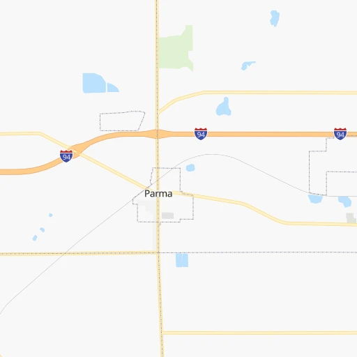
- Parma, 79,937 inhabitants. 241 km
- Gary, 77,156 inhabitants. 255 km
- Fishers, 76,794 inhabitants. 289 km
- Kalamazoo, 76,041 inhabitants. 98 km
- Waterford, 75,737 inhabitants. 95 km
- Wyoming, 75,275 inhabitants. 130 km
- Shelby, 74,099 inhabitants. 122 km
- Rochester Hills, 73,424 inhabitants. 112 km
- Southfield, 73,156 inhabitants. 100 km
- Lafayette, 71,111 inhabitants. 290 km
- Muncie, 70,087 inhabitants. 243 km
- West Bloomfield Township, 64,690 inhabitants. 91 km
- Lorain, 63,647 inhabitants. 204 km
- Hamilton, 62,407 inhabitants. 317 km
- Taylor, 61,568 inhabitants. 93 km
- Pontiac, 59,917 inhabitants. 101 km
- Saint Clair Shores, 59,715 inhabitants. 127 km
- Springfield, 59,680 inhabitants. 263 km
- Noblesville, 59,093 inhabitants. 280 km
- Royal Oak, 59,008 inhabitants. 107 km
- Novi, 58,723 inhabitants. 80 km
- Kokomo, 57,995 inhabitants. 244 km
- Dearborn Heights, 56,145 inhabitants. 93 km
- Greenwood, 55,586 inhabitants. 326 km
- Kettering, 55,525 inhabitants. 285 km
- Anderson, 55,305 inhabitants. 262 km
- Elyria, 53,775 inhabitants. 214 km
Location Jackson Station (Michigan) :
| Country flag |  |
| Location | Jackson Station |
| State | Michigan |
| County | Jackson County |
| Country | United States |
| Country code / ISO 2 | US |
| Latitude | 42.2480600 |
| Longitude | -84.4000000 |
| Altitude | 284 meters |
| Time zone | America/Detroit |
Location Cleveland (Ohio) :
| Country flag | |
| Location | Cleveland |
| State | Ohio |
| County | Cuyahoga County |
| Country | United States |
| Country code / ISO 2 | US |
| Latitude | 41.4995000 |
| Longitude | -81.6954100 |
| Altitude | 199 meters |
| Time zone | America/New_York |


