

How to get from Bert's (airport) (Pennsylvania) to Kansas City (Missouri)
Calculate route from Bert's (airport) (Pennsylvania, United States) to Kansas City (Missouri, United States).
The flight distance (as the crow flies) between Bert's (airport) and Kansas City is 1,611.2 km.
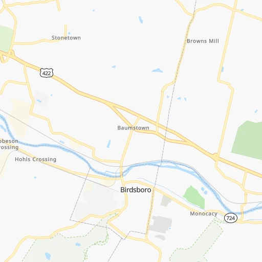
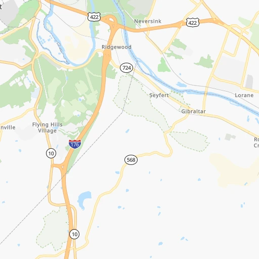
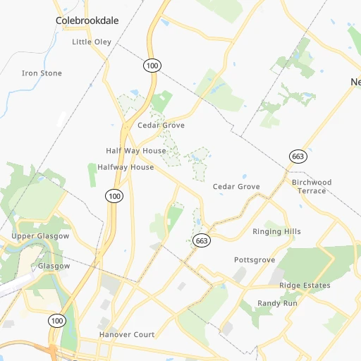
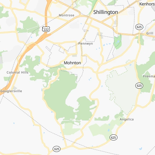
Roadmap (route) to go from Bert's Airport to Kansas City detailed above, you can also see the course layout on the map.
While doing trip Bert's (airport) - Kansas City by car, the calculated route ends at a distance , or more straight.
Distance and duration of the route between Bert's (airport) and Kansas City
Calculation of distance and route from Kansas City to Bert's (airport) :
1,611.21,748.8 km18h16mn
Continue onto Amity Park Road 0h2mn 792 mTurn left onto Limekiln Road 0h1mn 696 mTurn right onto Monocacy Hill Road 0h3mn 1.7 kmKeep right onto Benjamin Franklin Highway 0h6mn 6.8 kmKeep left onto West Shore Bypass 0h5mn 6.7 kmKeep left and take US 222 Business toward Lancaster Avenue 0h0mn 414 mTurn left onto East Lancaster Avenue 0h7mn 7.4 kmKeep left onto US 222 Business 0h8mn 11.6 kmKeep right and take I 76, PATP, PA 272 toward PA Turnpike, Denver 0h0mn 561 mTurn left onto Colonel Howard Boulevard 0h1mn 1.4 kmKeep left and take I 76 Toll West toward Harrisburg 3h11mn 317.3 kmKeep right and take PA 31, PA 711 toward Ligonier, Uniontown 0h0mn 529 mKeep right and take PA 31 toward Mount Pleasant, Uniontown 0h16mn 17.4 kmTurn slight right onto Mount Pleasant Road 0h12mn 12.8 kmTurn left 1h9mn 97.0 kmKeep left onto USS West Virginia Memorial Highway and take I 470 West toward Columbus OH 5h59mn 490.9 kmKeep right onto I 70 and take I 70 toward St Louis, Indianapolis International Airport 2h22mn 232.1 kmKeep right onto I 70 and take I 70 West toward Saint Louis 1h13mn 123.4 kmKeep right onto I 270 and take I 270 West, I 55 North toward Kansas City, Chicago 0h11mn 16.8 kmKeep right and take IL 203 toward Granite City 0h0mn 418 mKeep left 0h22mn 30.5 kmKeep right and take I 70 toward Saint Louis, Kansas City 0h1mn 1.2 kmKeep right and take I 70 West toward Kansas City 4h45mn 369.3 kmKeep left onto I 670, I 70 Alt and take I 670 West, I 70 Alternate, I 35 South toward Topeka, Wichita 0h0mn 376 mKeep right and drive toward 13th Street, Downtown 0h0mn 275 mContinue onto East 13th Street 0h0mn 400 mTurn right onto Oak Street 0h0mn 139 mArrive at destination 0h0mn 0 m
Travel from Bert's (airport) (Missouri) to a selection of major cities.
Distances from Bert's Airport to biggest cities in Pennsylvania
- Mount Lebanon,32,730 inhabitants.364 km
- Bethel Park,32,118 inhabitants.363 km
- Wayne,30,892 inhabitants.42 km
- Radnor,30,878 inhabitants.43 km
- Williamsport,29,201 inhabitants.149 km
- Monroeville,28,176 inhabitants.342 km
- Cranberry Township,28,098 inhabitants.370 km
- Drexel Hill,28,043 inhabitants.55 km
- Plum,27,505 inhabitants.339 km
- Back Mountain,26,973 inhabitants.119 km
- Easton,26,915 inhabitants.64 km
- Pennsport,26,000 inhabitants.66 km
- Lebanon,25,534 inhabitants.55 km
- Whitehall Township,24,896 inhabitants.48 km
- Hazleton,24,825 inhabitants.77 km
- Springfield,23,363 inhabitants.55 km
- Pottstown,22,664 inhabitants.11 km
- New Castle,22,375 inhabitants.395 km
- Allison Park,21,552 inhabitants.357 km
- Chambersburg,20,691 inhabitants.166 km
Other major cities in country :
- Seattle [WA], 684,451 inhabitants. 3,761 km
- Denver [CO], 682,545 inhabitants. 2,481 km
- El Paso [TX], 681,124 inhabitants. 2,907 km
- Detroit [MI], 677,116 inhabitants. 650 km
- Boston [MA], 667,137 inhabitants. 456 km
- Memphis [TN], 655,770 inhabitants. 1,380 km
- New South Memphis [TN], 641,608 inhabitants. 1,384 km
- Portland [OR], 632,309 inhabitants. 3,814 km
- Oklahoma City [OK], 631,346 inhabitants. 1,980 km
- Las Vegas [NV], 623,747 inhabitants. 3,445 km
- Baltimore [MD], 621,849 inhabitants. 133 km
- Washington, D.C. [DC], 601,723 inhabitants. 189 km
- Milwaukee [WI], 600,155 inhabitants. 1,054 km
- South Boston [MA], 571,281 inhabitants. 455 km
- Albuquerque [NM], 559,121 inhabitants. 2,767 km
- Tucson [AZ], 531,641 inhabitants. 3,258 km
- Nashville [TN], 530,852 inhabitants. 1,066 km
- Fresno [CA], 520,052 inhabitants. 3,814 km
- Sacramento [CA], 490,712 inhabitants. 3,893 km
- Kansas City [MO], 475,378 inhabitants. 1,614 km
Route from Kansas City to major cities (United States).
- Distance Kansas City New York City1,762 km
- Distance Kansas City Los Angeles2,182 km
- Distance Kansas City Chicago661 km
- Distance Kansas City Brooklyn1,767 km
- Distance Kansas City Houston1,042 km
- Distance Kansas City Queens1,776 km
- Distance Kansas City Philadelphia1,666 km
- Distance Kansas City Phoenix1,688 km
- Distance Kansas City Manhattan1,765 km
- Distance Kansas City San Antonio1,135 km
- Distance Kansas City San Diego2,150 km
- Distance Kansas City The Bronx1,773 km
- Distance Kansas City Dallas731 km
- Distance Kansas City San Jose2,388 km
- Distance Kansas City Austin1,025 km
- Distance Kansas City Jacksonville1,530 km
- Distance Kansas City San Francisco2,423 km
- Distance Kansas City Columbus998 km
- Distance Kansas City Fort Worth751 km
- Distance Kansas City Indianapolis728 km
Nearest cities to Bert's (airport) :
- New York City, 8,175,133 inhabitants. 156 km
- Brooklyn, 2,300,664 inhabitants. 159 km
- Queens, 2,272,771 inhabitants. 169 km
- Philadelphia, 1,567,442 inhabitants. 63 km
- Manhattan, 1,487,536 inhabitants. 162 km
- The Bronx, 1,385,108 inhabitants. 172 km
- Baltimore, 621,849 inhabitants. 133 km
- Washington, D.C., 601,723 inhabitants. 189 km
- Staten Island, 468,730 inhabitants. 141 km
- Newark, 281,944 inhabitants. 144 km
- Jersey City, 264,290 inhabitants. 151 km
- Richmond, 220,289 inhabitants. 338 km
- Jamaica, 216,866 inhabitants. 172 km
- Rochester, 209,802 inhabitants. 355 km
- Arlington, 207,627 inhabitants. 194 km
- Yonkers, 201,116 inhabitants. 173 km
- Harlem, 181,259 inhabitants. 164 km
- East Flatbush, 178,464 inhabitants. 160 km
- East New York, 173,198 inhabitants. 165 km
- Alexandria, 153,511 inhabitants. 198 km
- Washington Heights, 152,613 inhabitants. 167 km
- Astoria, 150,165 inhabitants. 164 km
- Borough Park, 149,248 inhabitants. 154 km
- Paterson, 147,754 inhabitants. 152 km
- Bridgeport, 147,629 inhabitants. 237 km
- Syracuse, 144,142 inhabitants. 309 km
- New Haven, 130,322 inhabitants. 265 km
- Elizabeth, 129,007 inhabitants. 138 km
- Stamford, 128,874 inhabitants. 206 km
- Sunset Park, 126,000 inhabitants. 154 km
- Sheepshead Bay, 122,534 inhabitants. 158 km
- North Stamford, 121,230 inhabitants. 210 km
- Allentown, 120,207 inhabitants. 43 km
- East Harlem, 115,921 inhabitants. 164 km
- Elmhurst, 113,364 inhabitants. 167 km
- Bushwick, 112,620 inhabitants. 163 km
- Gravesend, 112,229 inhabitants. 156 km
- Corona, 109,698 inhabitants. 169 km
- Waterbury, 108,802 inhabitants. 268 km
- Edison, 102,548 inhabitants. 117 km
- Columbia, 99,615 inhabitants. 148 km
- Richmond Hill, 98,984 inhabitants. 170 km
- Albany, 98,469 inhabitants. 312 km
- Fordham, 94,678 inhabitants. 170 km
- West Albany, 93,794 inhabitants. 314 km
- Flatbush, 93,361 inhabitants. 158 km
- Toms River, 88,791 inhabitants. 138 km
- Norwalk, 88,485 inhabitants. 219 km
- Reading, 87,879 inhabitants. 15 km
- Canarsie, 87,366 inhabitants. 163 km
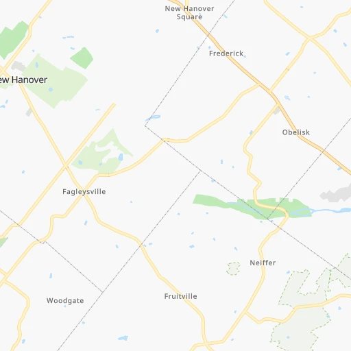
Location Bert's (airport) (Pennsylvania) :
| Country flag |  |
| Location | Bert's (airport) |
| State | Pennsylvania |
| County | Berks County |
| Country | United States |
| Country code / ISO 2 | US |
| Latitude | 40.2859400 |
| Longitude | -75.7625800 |
| Altitude | 61 meters |
| Time zone | America/New_York |
Location Kansas City (Missouri) :
| Country flag | |
| Location | Kansas City |
| State | Missouri |
| County | Jackson County |
| Country | United States |
| Country code / ISO 2 | US |
| Latitude | 39.0997300 |
| Longitude | -94.5785700 |
| Altitude | 274 meters |
| Time zone | America/Chicago |


