

How to get from Citabriair (airport) (Utah) to Hurricane (Utah)
Calculate route from Citabriair (airport) (Utah, United States) to Hurricane (Utah, United States).
The flight distance (as the crow flies) between Citabriair (airport) and Hurricane is 51.4 km.
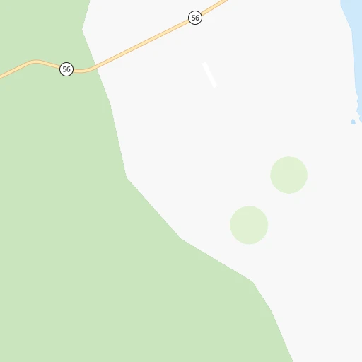
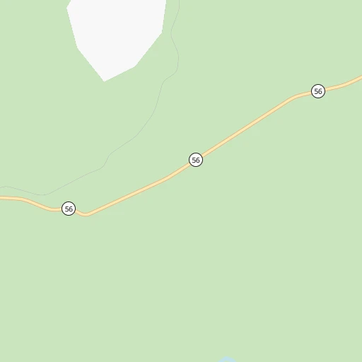
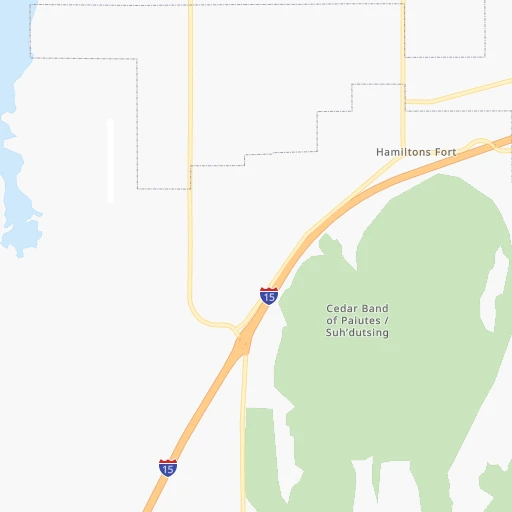
Roadmap (route) to go from Citabriair Airport to Hurricane detailed above, you can also see the course layout on the map.
While doing trip Citabriair (airport) - Hurricane by car, the calculated route ends at a distance , or more straight.
Distance and duration of the route between Citabriair (airport) and Hurricane
Calculation of distance and route from Hurricane to Citabriair (airport) :
51.470.2 km1h47mn
Continue onto West 2150 South 0h1mn 327 mTurn slight left onto South 8900 West 0h2mn 784 mTurn right onto West 200 North 0h5mn 7.4 kmTurn right onto South 5700 West 0h7mn 9.1 kmTurn right toward I 15 South 0h20mn 37.8 kmKeep right and take UT 17 toward Toquerville, Hurricane 0h0mn 433 mTurn left onto UT 17 0h11mn 12.3 kmTurn slight right onto North State Street 0h2mn 1.8 kmContinue onto West State Street 0h0mn 168 mTurn left onto South 100 West 0h0mn 151 mArrive at destination 0h0mn 0 m
Travel from Citabriair (airport) (Utah) to a selection of major cities.
Distances from Citabriair Airport to biggest cities in Utah
- Roy,37,964 inhabitants.406 km
- Spanish Fork,37,935 inhabitants.308 km
- South Jordan Heights,37,141 inhabitants.345 km
- Kearns,35,731 inhabitants.353 km
- Cottonwood Heights,34,343 inhabitants.355 km
- Tooele,33,157 inhabitants.332 km
- Midvale,32,613 inhabitants.351 km
- Springville,32,286 inhabitants.315 km
- Holladay,30,864 inhabitants.359 km
- Herriman,30,835 inhabitants.337 km
- Clearfield,30,653 inhabitants.401 km
- Kaysville,30,472 inhabitants.395 km
- Cedar City,30,184 inhabitants.17 km
- American Fork,28,326 inhabitants.330 km
- Syracuse,27,395 inhabitants.398 km
- Eagle Mountain,27,332 inhabitants.317 km
- Magna,26,505 inhabitants.356 km
- Saratoga Springs,25,407 inhabitants.324 km
- South Salt Lake,24,788 inhabitants.363 km
- Washington,24,299 inhabitants.61 km
Other major cities in country :
- Charlotte [NC], 827,097 inhabitants. 2,900 km
- Seattle [WA], 684,451 inhabitants. 1,334 km
- Denver [CO], 682,545 inhabitants. 755 km
- El Paso [TX], 681,124 inhabitants. 900 km
- Detroit [MI], 677,116 inhabitants. 2,614 km
- Boston [MA], 667,137 inhabitants. 3,598 km
- Memphis [TN], 655,770 inhabitants. 2,092 km
- New South Memphis [TN], 641,608 inhabitants. 2,093 km
- Portland [OR], 632,309 inhabitants. 1,176 km
- Oklahoma City [OK], 631,346 inhabitants. 1,425 km
- Las Vegas [NV], 623,747 inhabitants. 234 km
- Baltimore [MD], 621,849 inhabitants. 3,177 km
- Washington, D.C. [DC], 601,723 inhabitants. 3,147 km
- Milwaukee [WI], 600,155 inhabitants. 2,223 km
- South Boston [MA], 571,281 inhabitants. 3,600 km
- Albuquerque [NM], 559,121 inhabitants. 656 km
- Tucson [AZ], 531,641 inhabitants. 639 km
- Nashville [TN], 530,852 inhabitants. 2,354 km
- Fresno [CA], 520,052 inhabitants. 587 km
- Sacramento [CA], 490,712 inhabitants. 730 km
Route from Hurricane to major cities (United States).
- Distance Hurricane New York City3,395 km
- Distance Hurricane Los Angeles567 km
- Distance Hurricane Chicago2,254 km
- Distance Hurricane Brooklyn3,401 km
- Distance Hurricane Houston1,854 km
- Distance Hurricane Queens3,410 km
- Distance Hurricane Philadelphia3,308 km
- Distance Hurricane Phoenix429 km
- Distance Hurricane Manhattan3,398 km
- Distance Hurricane San Antonio1,622 km
- Distance Hurricane San Diego609 km
- Distance Hurricane The Bronx3,406 km
- Distance Hurricane Dallas1,578 km
- Distance Hurricane San Jose762 km
- Distance Hurricane Austin1,629 km
- Distance Hurricane Jacksonville3,010 km
- Distance Hurricane San Francisco809 km
- Distance Hurricane Columbus2,642 km
- Distance Hurricane Fort Worth1,537 km
- Distance Hurricane Indianapolis2,373 km
Nearest cities to Citabriair (airport) :
- Las Vegas, 623,747 inhabitants. 234 km
- Henderson, 285,667 inhabitants. 236 km
- North Las Vegas, 234,807 inhabitants. 231 km
- Paradise, 223,167 inhabitants. 241 km
- Sunrise Manor, 189,372 inhabitants. 227 km
- Spring Valley, 178,395 inhabitants. 246 km
- Provo, 115,264 inhabitants. 320 km
- West Jordan, 111,946 inhabitants. 350 km
- Enterprise, 108,481 inhabitants. 252 km
- Orem, 94,457 inhabitants. 325 km
- Sandy Hills, 89,575 inhabitants. 349 km
- Sandy, 87,461 inhabitants. 349 km
- Saint George, 72,897 inhabitants. 66 km
- Flagstaff, 70,320 inhabitants. 307 km
- South Jordan, 66,648 inhabitants. 345 km
- Lehi, 58,486 inhabitants. 330 km
- Draper, 46,774 inhabitants. 343 km
- Riverton, 41,900 inhabitants. 341 km
- Bullhead City, 39,445 inhabitants. 301 km
- Whitney, 38,585 inhabitants. 234 km
- Pleasant Grove, 38,052 inhabitants. 331 km
- Spanish Fork, 37,935 inhabitants. 308 km
- South Jordan Heights, 37,141 inhabitants. 345 km
- Pahrump, 36,441 inhabitants. 291 km
- Cottonwood Heights, 34,343 inhabitants. 355 km
- Tooele, 33,157 inhabitants. 332 km
- Midvale, 32,613 inhabitants. 351 km
- Springville, 32,286 inhabitants. 315 km
- Herriman, 30,835 inhabitants. 337 km
- Cedar City, 30,184 inhabitants. 17 km
- Kingman, 28,912 inhabitants. 282 km
- American Fork, 28,326 inhabitants. 330 km
- Winchester, 27,978 inhabitants. 236 km
- Eagle Mountain, 27,332 inhabitants. 317 km
- Saratoga Springs, 25,407 inhabitants. 324 km
- Washington, 24,299 inhabitants. 61 km
- Summerlin South, 24,085 inhabitants. 251 km
- Payson, 19,548 inhabitants. 299 km
- Highland, 17,989 inhabitants. 335 km
- Mesquite, 17,496 inhabitants. 118 km
- Boulder City, 15,551 inhabitants. 232 km
- Hurricane, 15,501 inhabitants. 51 km
- New Kingman-Butler, 12,134 inhabitants. 273 km
- Cottonwood, 11,818 inhabitants. 341 km
- Oquirrh, 11,668 inhabitants. 349 km
- Verde Village, 11,605 inhabitants. 344 km
- West Sedona, 11,299 inhabitants. 334 km
- Chino Valley, 11,137 inhabitants. 328 km
- Bluffdale, 10,931 inhabitants. 337 km
- Lindon, 10,810 inhabitants. 329 km
Location Citabriair (airport) (Utah) :
| Country flag |  |
| Location | Citabriair (airport) |
| State | Utah |
| County | Iron County |
| Country | United States |
| Country code / ISO 2 | US |
| Latitude | 37.6360900 |
| Longitude | -113.2466200 |
| Altitude | 1718 meters |
| Time zone | America/Denver |
Location Hurricane (Utah) :
| Country flag | |
| Location | Hurricane |
| State | Utah |
| County | Washington County |
| Country | United States |
| Country code / ISO 2 | US |
| Latitude | 37.1752600 |
| Longitude | -113.2899500 |
| Altitude | 990 meters |
| Time zone | America/Denver |


