
How to get from Hulett Landing Strip (Vermont) to Brockton (Massachusetts)
Calculate route from Hulett Landing Strip (Vermont, United States) to Brockton (Massachusetts, United States).
The flight distance (as the crow flies) between Hulett Landing Strip and Brockton is 228.4 km.
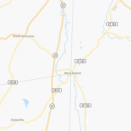
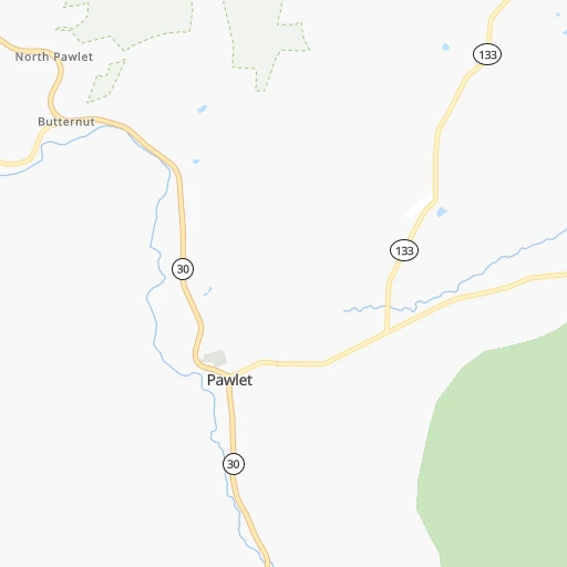
Roadmap (route) to go from Hulett Landing Strip to Brockton detailed above, you can also see the course layout on the map.
While doing trip Hulett Landing Strip - Brockton by car, the calculated route ends at a distance , or more straight.
Distance and duration of the route between Hulett Landing Strip and Brockton
Calculation of distance and route from Brockton to Hulett Landing Strip :
228.4292.2 km4h22mn
Continue 0h1mn 276 mTurn left onto Vermont Route 153 0h8mn 8.2 kmTurn left onto Route 315 0h8mn 9.3 kmTurn right onto Dorset West Road 0h8mn 7.7 kmTurn right onto Vermont Route 30 0h1mn 1.6 kmTurn left onto North Road 0h3mn 2.6 kmTurn left onto Main Street 0h1mn 535 mKeep right onto High Meadow Way 0h0mn 29 mContinue onto Highmeadows Way 0h3mn 1.5 kmTurn sharp left onto Barnumville Road 0h3mn 2.5 kmTurn left onto Vermont Route 11 30 0h4mn 4.0 kmKeep right and take VT 30 South toward Stratton Mountain Ski Area, Brattleboro 0h0mn 107 mTurn slight right onto Vermont Route 30 0h5mn 5.6 kmTurn left onto Old Town Road 0h2mn 1.7 kmTurn right onto Stoney Hill Road 0h1mn 627 mTurn sharp left onto Vermont Route 30 1h53mn 55.7 kmTurn left onto Bridge Street 0h11mn 10.9 kmTurn right onto Northfield Road 0h9mn 8.6 kmKeep right onto Hinsdale Road 0h0mn 39 mTurn slight right onto Main Street 0h4mn 3.5 kmTurn left onto Maple Street 0h12mn 12.0 kmTurn left onto Church Street 0h1mn 332 mTurn left onto East Main Street 1h11mn 91.7 kmAt roundabout, take exit 2 onto Elm Street 0h11mn 12.5 kmKeep right and take I 95 South toward Attleboro 0h23mn 30.3 kmKeep left onto I 93, US 1 and take I 93 North, US 1 North toward Boston 0h1mn 1.8 kmKeep right and take MA 138 South toward Stoughton 0h8mn 9.2 kmContinue onto Washington Street 0h0mn 12 mContinue onto Washington Street 0h0mn 32 mContinue onto Park Street 0h8mn 8.4 kmTurn right onto Warren Avenue 0h1mn 425 mTurn left onto West Elm Street 0h0mn 241 mTurn left onto Main Street 0h0mn 157 mTurn right onto Church Street 0h0mn 124 mTurn right 0h0mn 17 mTurn right 0h0mn 4 mArrive at destination 0h0mn 0 m
Travel from Hulett Landing Strip (Massachusetts) to a selection of major cities.
Distances from Hulett Landing Strip to biggest cities in Vermont
Other major cities in country :
- Charlotte [NC], 827,097 inhabitants. 1,114 km
- Seattle [WA], 684,451 inhabitants. 3,797 km
- Denver [CO], 682,545 inhabitants. 2,659 km
- El Paso [TX], 681,124 inhabitants. 3,178 km
- Detroit [MI], 677,116 inhabitants. 808 km
- Boston [MA], 667,137 inhabitants. 208 km
- Memphis [TN], 655,770 inhabitants. 1,707 km
- New South Memphis [TN], 641,608 inhabitants. 1,711 km
- Portland [OR], 632,309 inhabitants. 3,875 km
- Oklahoma City [OK], 631,346 inhabitants. 2,254 km
- Las Vegas [NV], 623,747 inhabitants. 3,633 km
- Baltimore [MD], 621,849 inhabitants. 531 km
- Washington, D.C. [DC], 601,723 inhabitants. 587 km
- Milwaukee [WI], 600,155 inhabitants. 1,189 km
- South Boston [MA], 571,281 inhabitants. 211 km
- Albuquerque [NM], 559,121 inhabitants. 3,001 km
- Tucson [AZ], 531,641 inhabitants. 3,504 km
- Nashville [TN], 530,852 inhabitants. 1,404 km
- Fresno [CA], 520,052 inhabitants. 3,980 km
- Sacramento [CA], 490,712 inhabitants. 4,034 km
Route from Brockton to major cities (United States).
- Distance Brockton New York City292 km
- Distance Brockton Los Angeles4,179 km
- Distance Brockton Chicago1,375 km
- Distance Brockton Brooklyn292 km
- Distance Brockton Houston2,574 km
- Distance Brockton Queens282 km
- Distance Brockton Philadelphia421 km
- Distance Brockton Phoenix3,700 km
- Distance Brockton Manhattan285 km
- Distance Brockton San Antonio2,836 km
- Distance Brockton San Diego4,159 km
- Distance Brockton The Bronx274 km
- Distance Brockton Dallas2,491 km
- Distance Brockton San Jose4,324 km
- Distance Brockton Austin2,722 km
- Distance Brockton Jacksonville1,617 km
- Distance Brockton San Francisco4,348 km
- Distance Brockton Columbus1,033 km
- Distance Brockton Fort Worth2,535 km
- Distance Brockton Indianapolis1,297 km
Nearest cities to Hulett Landing Strip :
- New York City, 8,175,133 inhabitants. 298 km
- Brooklyn, 2,300,664 inhabitants. 304 km
- Queens, 2,272,771 inhabitants. 299 km
- Manhattan, 1,487,536 inhabitants. 290 km
- The Bronx, 1,385,108 inhabitants. 281 km
- Boston, 667,137 inhabitants. 208 km
- South Boston, 571,281 inhabitants. 211 km
- Staten Island, 468,730 inhabitants. 317 km
- Newark, 281,944 inhabitants. 299 km
- Jersey City, 264,290 inhabitants. 298 km
- Jamaica, 216,866 inhabitants. 297 km
- Yonkers, 201,116 inhabitants. 272 km
- Worcester, 184,815 inhabitants. 167 km
- Harlem, 181,259 inhabitants. 287 km
- Providence, 179,207 inhabitants. 225 km
- East Flatbush, 178,464 inhabitants. 303 km
- East New York, 173,198 inhabitants. 301 km
- Springfield, 154,341 inhabitants. 147 km
- Washington Heights, 152,613 inhabitants. 282 km
- Astoria, 150,165 inhabitants. 290 km
- Borough Park, 149,248 inhabitants. 307 km
- Paterson, 147,754 inhabitants. 279 km
- Bridgeport, 147,629 inhabitants. 241 km
- Syracuse, 144,142 inhabitants. 238 km
- New Haven, 130,322 inhabitants. 227 km
- Elizabeth, 129,007 inhabitants. 307 km
- Stamford, 128,874 inhabitants. 255 km
- Sunset Park, 126,000 inhabitants. 306 km
- Hartford, 124,006 inhabitants. 180 km
- Sheepshead Bay, 122,534 inhabitants. 310 km
- North Stamford, 121,230 inhabitants. 245 km
- Allentown, 120,207 inhabitants. 356 km
- East Harlem, 115,921 inhabitants. 288 km
- Elmhurst, 113,364 inhabitants. 293 km
- Bushwick, 112,620 inhabitants. 299 km
- Gravesend, 112,229 inhabitants. 310 km
- Lowell, 110,699 inhabitants. 175 km
- Cambridge, 110,402 inhabitants. 204 km
- Manchester, 110,229 inhabitants. 150 km
- Corona, 109,698 inhabitants. 292 km
- Waterbury, 108,802 inhabitants. 198 km
- Edison, 102,548 inhabitants. 328 km
- Richmond Hill, 98,984 inhabitants. 297 km
- Albany, 98,469 inhabitants. 86 km
- Brockton, 95,314 inhabitants. 229 km
- New Bedford, 94,958 inhabitants. 267 km
- Fordham, 94,678 inhabitants. 280 km
- West Albany, 93,794 inhabitants. 84 km
- Quincy, 93,618 inhabitants. 219 km
- Flatbush, 93,361 inhabitants. 304 km
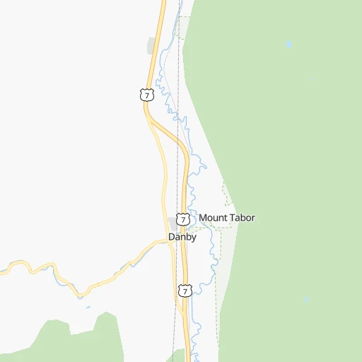
Location Hulett Landing Strip (Vermont) :
| Country flag |  |
| Location | Hulett Landing Strip |
| State | Vermont |
| County | Rutland County |
| Country | United States |
| Country code / ISO 2 | US |
| Latitude | 43.3300800 |
| Longitude | -73.2421300 |
| Altitude | 195 meters |
| Time zone | America/New_York |
Location Brockton (Massachusetts) :
| Country flag | |
| Location | Brockton |
| State | Massachusetts |
| County | Plymouth County |
| Country | United States |
| Country code / ISO 2 | US |
| Latitude | 42.0834300 |
| Longitude | -71.0183800 |
| Altitude | 35 meters |
| Time zone | America/New_York |


