
How to get from Whitehall (airport) (Georgia) to Gainesville (Georgia)
Calculate route from Whitehall (airport) (Georgia, United States) to Gainesville (Georgia, United States).
The flight distance (as the crow flies) between Whitehall (airport) and Gainesville is 208.5 km.
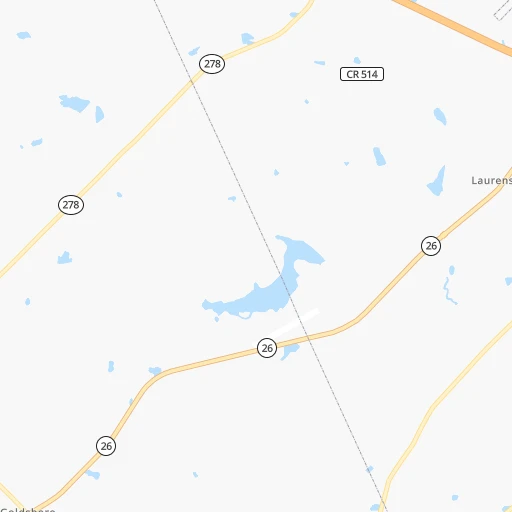
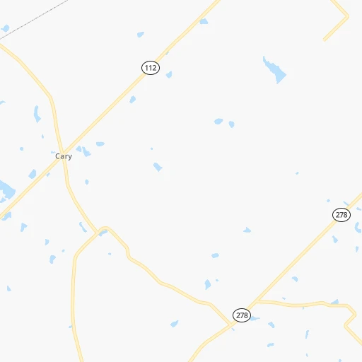
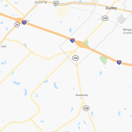
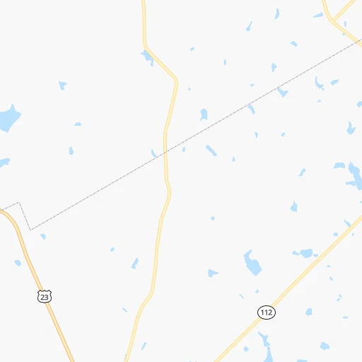
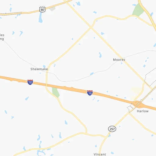
Roadmap (route) to go from Whitehall Airport to Gainesville detailed above, you can also see the course layout on the map.
While doing trip Whitehall (airport) - Gainesville by car, the calculated route ends at a distance , or more straight.
Distance and duration of the route between Whitehall (airport) and Gainesville
Calculation of distance and route from Gainesville to Whitehall (airport) :
208.5248.7 km3h25mn
Continue onto Emergency Rd 480 0h1mn 514 mTurn right onto Dykes Street 0h0mn 413 mTurn right onto Mobley White Road 0h8mn 3.8 kmTurn left onto Montrose Road 0h0mn 77 mTurn right onto Talmadge Coley Road 0h6mn 3.1 kmTurn right onto Mount Carmel Church Road 0h4mn 2.8 kmTurn right onto Captain Burnham Road 0h2mn 2.3 kmTurn left 0h29mn 49.4 kmKeep right and take GA 22 toward Second Street, Macon 0h0mn 236 mKeep left and take GA 22 East toward Second Street North 0h0mn 56 mTurn left onto 2nd Street 0h0mn 237 mKeep left onto 2nd Street 0h1mn 601 mContinue onto Gray Highway 0h12mn 16.6 kmTurn left onto Gray Bypass 0h3mn 3.8 kmTurn left onto Greene Settlement Road 0h5mn 5.8 kmTurn left onto Monticello Highway 0h24mn 30.8 kmTurn left onto East Washington Street 0h0mn 239 mTurn right onto South Warren Street 0h0mn 53 mKeep left onto GA 11 0h0mn 63 mKeep right onto West Greene Street 0h0mn 293 mTurn slight right onto College Street 1h34mn 43.7 kmTurn left onto South Cherokee Road 0h6mn 4.9 kmTurn left onto North Cherokee Road 0h19mn 20.0 kmContinue onto State Route 11 0h14mn 15.5 kmTurn left onto May Street 0h2mn 2.5 kmTurn right onto Horton Street 0h0mn 96 mTurn left onto West Athens Street 0h2mn 2.3 kmKeep right 0h6mn 8.1 kmAt roundabout, take exit 2 onto Highway 211 Northwest 0h3mn 3.7 kmTurn slight right onto Highway 211 Northwest 0h8mn 8.8 kmTurn left onto Winder Highway 0h6mn 6.9 kmKeep right 0h1mn 1.0 kmKeep right toward I 985 North 0h3mn 5.4 kmKeep right and take GA 60, GA 53 toward Candler Road, Gainesville 0h0mn 410 mKeep left and take GA 60 North, GA 53 Connector North toward Georgia Department of Driver Services 0h0mn 80 mTurn left onto Queen City Parkway 0h3mn 3.4 kmTurn sharp right onto Jesse Jewell Parkway Southwest 0h0mn 185 mTurn slight right onto Jesse Jewell Parkway Southwest 0h0mn 504 mTurn right onto Green Street 0h0mn 12 mArrive at destination 0h0mn 0 m
Travel from Whitehall (airport) (Georgia) to a selection of major cities.
Distances from Whitehall Airport to biggest cities in Georgia
- Gainesville,38,712 inhabitants.209 km
- Milton,37,547 inhabitants.209 km
- Newnan,37,291 inhabitants.180 km
- Mableton,37,115 inhabitants.196 km
- Rome,36,323 inhabitants.269 km
- Martinez,35,795 inhabitants.154 km
- East Point,35,467 inhabitants.176 km
- Peachtree City,35,240 inhabitants.165 km
- Dalton,33,853 inhabitants.302 km
- Kennesaw,33,584 inhabitants.216 km
- Hinesville,33,398 inhabitants.166 km
- Redan,33,015 inhabitants.164 km
- Douglasville,32,897 inhabitants.202 km
- Statesboro,30,721 inhabitants.132 km
- Lawrenceville,30,493 inhabitants.179 km
- Woodstock,29,898 inhabitants.217 km
- LaGrange,29,588 inhabitants.183 km
- Duluth,29,193 inhabitants.190 km
- Evans,29,011 inhabitants.152 km
- Chamblee,28,244 inhabitants.187 km
Other major cities in country :
- Charlotte [NC], 827,097 inhabitants. 373 km
- Seattle [WA], 684,451 inhabitants. 3,684 km
- Denver [CO], 682,545 inhabitants. 2,113 km
- El Paso [TX], 681,124 inhabitants. 2,194 km
- Detroit [MI], 677,116 inhabitants. 1,095 km
- Boston [MA], 667,137 inhabitants. 1,531 km
- Memphis [TN], 655,770 inhabitants. 700 km
- New South Memphis [TN], 641,608 inhabitants. 698 km
- Portland [OR], 632,309 inhabitants. 3,665 km
- Oklahoma City [OK], 631,346 inhabitants. 1,362 km
- Las Vegas [NV], 623,747 inhabitants. 2,952 km
- Baltimore [MD], 621,849 inhabitants. 960 km
- Washington, D.C. [DC], 601,723 inhabitants. 903 km
- Milwaukee [WI], 600,155 inhabitants. 1,244 km
- South Boston [MA], 571,281 inhabitants. 1,530 km
- Albuquerque [NM], 559,121 inhabitants. 2,185 km
- Tucson [AZ], 531,641 inhabitants. 2,601 km
- Nashville [TN], 530,852 inhabitants. 525 km
- Fresno [CA], 520,052 inhabitants. 3,364 km
- Sacramento [CA], 490,712 inhabitants. 3,509 km
Route from Gainesville to major cities (United States).
- Distance Gainesville New York City1,122 km
- Distance Gainesville Los Angeles3,155 km
- Distance Gainesville Chicago905 km
- Distance Gainesville Brooklyn1,122 km
- Distance Gainesville Houston1,199 km
- Distance Gainesville Queens1,131 km
- Distance Gainesville Philadelphia993 km
- Distance Gainesville Phoenix2,604 km
- Distance Gainesville Manhattan1,129 km
- Distance Gainesville San Antonio1,487 km
- Distance Gainesville San Diego3,086 km
- Distance Gainesville The Bronx1,141 km
- Distance Gainesville Dallas1,215 km
- Distance Gainesville San Jose3,430 km
- Distance Gainesville Austin1,383 km
- Distance Gainesville Jacksonville486 km
- Distance Gainesville San Francisco3,471 km
- Distance Gainesville Columbus635 km
- Distance Gainesville Fort Worth1,264 km
- Distance Gainesville Indianapolis643 km
Nearest cities to Whitehall (airport) :
- Jacksonville, 868,031 inhabitants. 282 km
- Charlotte, 827,097 inhabitants. 373 km
- Atlanta, 463,878 inhabitants. 179 km
- Columbus, 200,579 inhabitants. 169 km
- Tallahassee, 189,907 inhabitants. 252 km
- Chattanooga, 176,588 inhabitants. 345 km
- East Chattanooga, 154,024 inhabitants. 344 km
- Savannah, 145,674 inhabitants. 202 km
- Columbia, 133,803 inhabitants. 261 km
- Gainesville, 130,128 inhabitants. 327 km
- Athens, 116,714 inhabitants. 164 km
- Sandy Springs, 105,330 inhabitants. 194 km
- Roswell, 94,501 inhabitants. 202 km
- Macon, 91,351 inhabitants. 57 km
- Concord, 87,696 inhabitants. 403 km
- Johns Creek, 83,335 inhabitants. 195 km
- Palm Coast, 82,893 inhabitants. 375 km
- Albany, 74,843 inhabitants. 137 km
- Gastonia, 74,543 inhabitants. 359 km
- Warner Robins, 73,490 inhabitants. 43 km
- Rock Hill, 71,548 inhabitants. 336 km
- Dothan, 68,567 inhabitants. 252 km
- Greenville, 64,579 inhabitants. 272 km
- Alpharetta, 63,693 inhabitants. 204 km
- Auburn, 62,059 inhabitants. 216 km
- Marietta, 59,067 inhabitants. 206 km
- Smyrna, 56,146 inhabitants. 198 km
- Valdosta, 55,724 inhabitants. 186 km
- Huntersville, 52,704 inhabitants. 390 km
- Brookhaven, 51,910 inhabitants. 186 km
- Stonecrest, 50,000 inhabitants. 161 km
- Dunwoody, 48,733 inhabitants. 193 km
- Kannapolis, 46,144 inhabitants. 408 km
- Cleveland, 43,898 inhabitants. 335 km
- Augusta, 43,459 inhabitants. 156 km
- Peachtree Corners, 40,978 inhabitants. 190 km
- Sumter, 40,816 inhabitants. 309 km
- Hilton Head Island, 40,512 inhabitants. 233 km
- North Atlanta, 40,456 inhabitants. 186 km
- St. Johns, 40,000 inhabitants. 311 km
- Gainesville, 38,712 inhabitants. 209 km
- Panama City, 38,286 inhabitants. 351 km
- Spartanburg, 37,867 inhabitants. 296 km
- Phenix City, 37,570 inhabitants. 170 km
- Milton, 37,547 inhabitants. 209 km
- Newnan, 37,291 inhabitants. 180 km
- Mableton, 37,115 inhabitants. 196 km
- Hilton Head, 37,099 inhabitants. 231 km
- Indian Trail, 37,073 inhabitants. 370 km
- Rome, 36,323 inhabitants. 269 km
Location Whitehall (airport) (Georgia) :
| Country flag |  |
| Location | Whitehall (airport) |
| State | Georgia |
| County | Bleckley County |
| Country | United States |
| Country code / ISO 2 | US |
| Latitude | 32.4987200 |
| Longitude | -83.1853900 |
| Altitude | 102 meters |
| Time zone | America/New_York |
Location Gainesville (Georgia) :
| Country flag | |
| Location | Gainesville |
| State | Georgia |
| County | Hall County |
| Country | United States |
| Country code / ISO 2 | US |
| Latitude | 34.2978800 |
| Longitude | -83.8240700 |
| Altitude | 381 meters |
| Time zone | America/New_York |


