

How to get from Riceland Aerodrome (Ohio) to Indianapolis (Indiana)
Calculate route from Riceland Aerodrome (Ohio, United States) to Indianapolis (Indiana, United States).
The flight distance (as the crow flies) between Riceland Aerodrome and Indianapolis is 511.5 km.
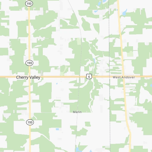
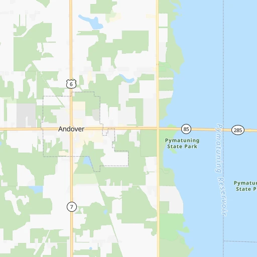
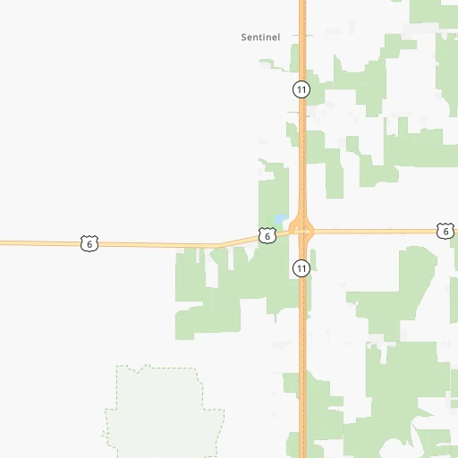
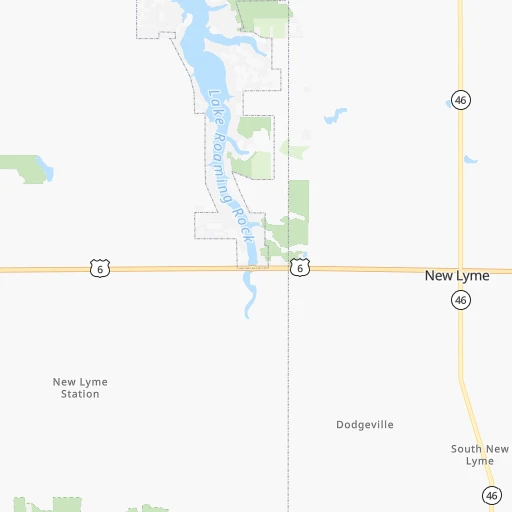
Roadmap (route) to go from Riceland Aerodrome to Indianapolis detailed above, you can also see the course layout on the map.
While doing trip Riceland Aerodrome - Indianapolis by car, the calculated route ends at a distance , or more straight.
Distance and duration of the route between Riceland Aerodrome and Indianapolis
Calculation of distance and route from Indianapolis to Riceland Aerodrome :
511.5589.1 km7h30mn
Continue onto Dolan Drive 0h0mn 183 mTurn left onto US 6 0h27mn 30.0 kmAt roundabout, take exit 2 onto US 6 0h12mn 15.9 kmTurn left onto Grand Army of the Republic Highway 0h7mn 6.6 kmTurn left onto Cherry Avenue 0h16mn 17.0 kmTurn left onto County Line Road 0h1mn 897 mTurn sharp right onto Sherman Road 0h2mn 1.8 kmTurn sharp left onto Chagrin River Road 0h1mn 1.0 kmTurn right onto Mayfield Road 0h4mn 3.8 kmTurn sharp left onto Mayfield Road 0h0mn 34 mKeep right and take I 271 South toward Columbus 2h12mn 218.5 kmKeep right toward I 270 West 0h9mn 13.4 kmKeep right and take US 33 West, SR 161 West toward Marysville, Avery-Muirfield Drive 0h1mn 627 mKeep right and drive toward Avery-Muirfield Drive 0h1mn 1.3 kmKeep left 0h2mn 3.0 kmKeep right onto SR 161 and take SR 161 toward Post Road, Plain City 0h0mn 424 mTurn left onto Post Road 0h0mn 352 mAt roundabout, take exit 1 onto Dublin-Plain City Road 0h0mn 388 mAt roundabout, take exit 2 onto Dublin-Plain City Road 0h0mn 409 mAt roundabout, take exit 2 onto Dublin-Plain City Road 0h3mn 3.5 kmTurn left onto Cemetery Pike 0h2mn 2.1 kmTurn right onto Cemetery Pike 0h3mn 2.9 kmTurn left onto London – Delaware Road 0h13mn 17.2 kmTurn right 2h28mn 244.5 kmKeep right and drive toward Michigan Street, Ohio Street, Fletcher Avenue 0h1mn 1.0 kmKeep right and drive toward Michigan Street, New York Street 0h0mn 310 mKeep right and drive toward Michigan Street, New York Street 0h0mn 36 mTurn slight right onto East North Street 0h1mn 448 mTurn left onto Massachusetts Avenue 0h0mn 220 mContinue onto Massachusetts Avenue 0h0mn 219 mKeep left onto North Alabama Street 0h1mn 311 mTurn right onto East Ohio Street 0h1mn 307 mTurn left onto North Pennsylvania Street 0h0mn 258 mTurn right onto East Court Street 0h0mn 155 mTurn right onto North Meridian Street 0h0mn 48 mEnter roundabout 0h0mn 4 mArrive at destination 0h0mn 0 m
Travel from Riceland Aerodrome (Indiana) to a selection of major cities.
Distances from Riceland Aerodrome to biggest cities in Ohio
- Mansfield,46,830 inhabitants.187 km
- Beavercreek,46,277 inhabitants.361 km
- Dublin,45,098 inhabitants.271 km
- Cleveland Heights,44,962 inhabitants.81 km
- Strongsville,44,668 inhabitants.109 km
- Fairfield,42,767 inhabitants.420 km
- Findlay,41,149 inhabitants.263 km
- Warren,40,245 inhabitants.45 km
- Lancaster,39,766 inhabitants.270 km
- Grove City,39,388 inhabitants.285 km
- Westerville,38,384 inhabitants.257 km
- Huber Heights,38,176 inhabitants.357 km
- Delaware,37,995 inhabitants.254 km
- Lima,37,873 inhabitants.310 km
- Reynoldsburg,37,158 inhabitants.262 km
- Marion,36,363 inhabitants.241 km
- Boardman,35,376 inhabitants.65 km
- Upper Arlington,34,907 inhabitants.275 km
- Stow,34,797 inhabitants.87 km
- Brunswick,34,689 inhabitants.112 km
Other major cities in country :
- Seattle [WA], 684,451 inhabitants. 3,333 km
- Denver [CO], 682,545 inhabitants. 2,063 km
- El Paso [TX], 681,124 inhabitants. 2,545 km
- Detroit [MI], 677,116 inhabitants. 219 km
- Boston [MA], 667,137 inhabitants. 793 km
- Memphis [TN], 655,770 inhabitants. 1,093 km
- New South Memphis [TN], 641,608 inhabitants. 1,099 km
- Portland [OR], 632,309 inhabitants. 3,383 km
- Oklahoma City [OK], 631,346 inhabitants. 1,621 km
- Las Vegas [NV], 623,747 inhabitants. 3,033 km
- Baltimore [MD], 621,849 inhabitants. 424 km
- Washington, D.C. [DC], 601,723 inhabitants. 427 km
- Milwaukee [WI], 600,155 inhabitants. 623 km
- South Boston [MA], 571,281 inhabitants. 793 km
- Albuquerque [NM], 559,121 inhabitants. 2,378 km
- Tucson [AZ], 531,641 inhabitants. 2,877 km
- Nashville [TN], 530,852 inhabitants. 809 km
- Fresno [CA], 520,052 inhabitants. 3,394 km
- Sacramento [CA], 490,712 inhabitants. 3,467 km
- Kansas City [MO], 475,378 inhabitants. 1,217 km
Route from Indianapolis to major cities (United States).
- Distance Indianapolis New York City1,037 km
- Distance Indianapolis Los Angeles2,909 km
- Distance Indianapolis Chicago264 km
- Distance Indianapolis Brooklyn1,042 km
- Distance Indianapolis Houston1,394 km
- Distance Indianapolis Queens1,051 km
- Distance Indianapolis Philadelphia939 km
- Distance Indianapolis Phoenix2,411 km
- Distance Indianapolis Manhattan1,041 km
- Distance Indianapolis San Antonio1,610 km
- Distance Indianapolis San Diego2,876 km
- Distance Indianapolis The Bronx1,049 km
- Distance Indianapolis Dallas1,230 km
- Distance Indianapolis San Jose3,102 km
- Distance Indianapolis Austin1,492 km
- Distance Indianapolis Jacksonville1,127 km
- Distance Indianapolis San Francisco3,133 km
- Distance Indianapolis Columbus271 km
- Distance Indianapolis Fort Worth1,271 km
- Distance Indianapolis Charlotte690 km
Nearest cities to Riceland Aerodrome :
- Columbus, 850,106 inhabitants. 273 km
- Detroit, 677,116 inhabitants. 219 km
- Cleveland, 388,072 inhabitants. 93 km
- Pittsburgh, 304,391 inhabitants. 139 km
- Toledo, 279,789 inhabitants. 247 km
- Buffalo, 258,071 inhabitants. 201 km
- Rochester, 209,802 inhabitants. 299 km
- Akron, 197,542 inhabitants. 97 km
- Warren, 134,056 inhabitants. 223 km
- Sterling Heights, 132,052 inhabitants. 229 km
- Amherst, 122,366 inhabitants. 212 km
- Clinton Township, 99,753 inhabitants. 221 km
- Erie, 99,475 inhabitants. 72 km
- Dearborn, 95,171 inhabitants. 228 km
- Livonia, 94,635 inhabitants. 244 km
- Canton, 86,825 inhabitants. 252 km
- Troy, 83,280 inhabitants. 239 km
- Westland, 82,000 inhabitants. 246 km
- Farmington Hills, 81,330 inhabitants. 250 km
- Parma, 79,937 inhabitants. 97 km
- Waterford, 75,737 inhabitants. 262 km
- Cheektowaga, 75,178 inhabitants. 209 km
- Shelby, 74,099 inhabitants. 234 km
- Rochester Hills, 73,424 inhabitants. 242 km
- Southfield, 73,156 inhabitants. 238 km
- Canton, 71,885 inhabitants. 111 km
- West Bloomfield Township, 64,690 inhabitants. 254 km
- Youngstown, 64,628 inhabitants. 57 km
- Lorain, 63,647 inhabitants. 134 km
- Taylor, 61,568 inhabitants. 233 km
- Pontiac, 59,917 inhabitants. 251 km
- Saint Clair Shores, 59,715 inhabitants. 214 km
- Royal Oak, 59,008 inhabitants. 233 km
- Novi, 58,723 inhabitants. 258 km
- Dearborn Heights, 56,145 inhabitants. 236 km
- Elyria, 53,775 inhabitants. 129 km
- Lakewood, 50,656 inhabitants. 102 km
- Redford, 49,936 inhabitants. 240 km
- Cuyahoga Falls, 49,146 inhabitants. 91 km
- Niagara Falls, 48,916 inhabitants. 208 km
- Newark, 47,986 inhabitants. 230 km
- Euclid, 47,676 inhabitants. 78 km
- Roseville, 47,637 inhabitants. 218 km
- Mentor, 46,901 inhabitants. 63 km
- Mansfield, 46,830 inhabitants. 187 km
- Altoona, 45,344 inhabitants. 220 km
- Dublin, 45,098 inhabitants. 271 km
- Cleveland Heights, 44,962 inhabitants. 81 km
- West Seneca, 44,711 inhabitants. 202 km
- Strongsville, 44,668 inhabitants. 109 km
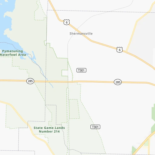
Location Riceland Aerodrome (Ohio) :
| Country flag |  |
| Location | Riceland Aerodrome |
| State | Ohio |
| County | Ashtabula County |
| Country | United States |
| Country code / ISO 2 | US |
| Latitude | 41.6054400 |
| Longitude | -80.5908200 |
| Altitude | 341 meters |
| Time zone | America/New_York |
Location Indianapolis (Indiana) :
| Country flag | |
| Location | Indianapolis |
| State | Indiana |
| County | Marion County |
| Country | United States |
| Country code / ISO 2 | US |
| Latitude | 39.7683800 |
| Longitude | -86.1580400 |
| Altitude | 218 meters |
| Time zone | America/Indiana/Indianapolis |


