
How to get from Ponikve (airport) (Central Serbia) to Apatin (Vojvodina)
Calculate route from Ponikve (airport) (Central Serbia, Serbia) to Apatin (Vojvodina, Serbia).
The flight distance (as the crow flies) between Ponikve (airport) and Apatin is 204.8 km.
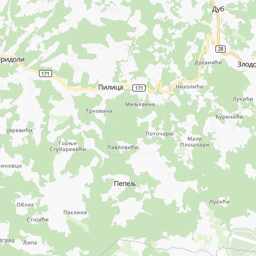
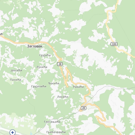
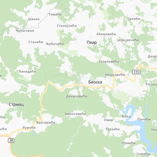
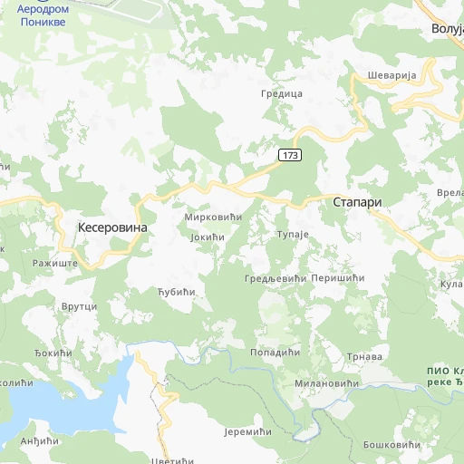
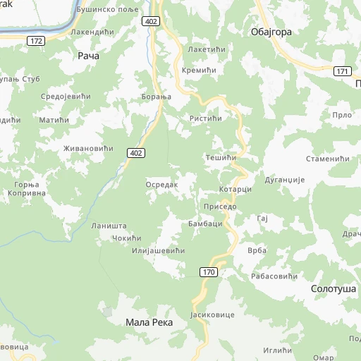
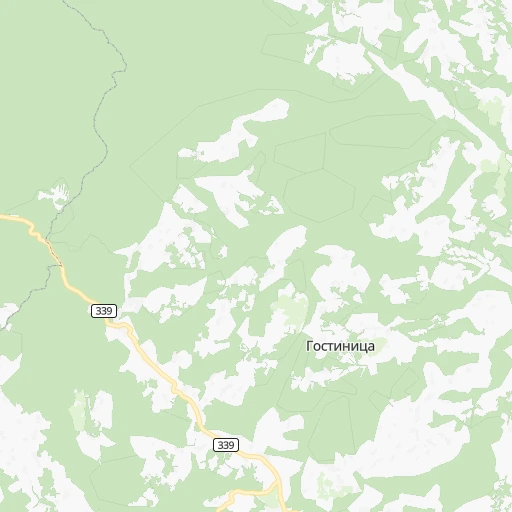
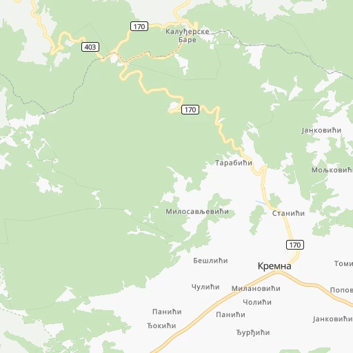
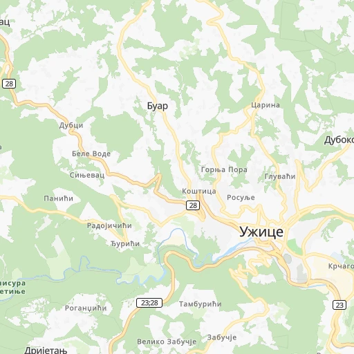
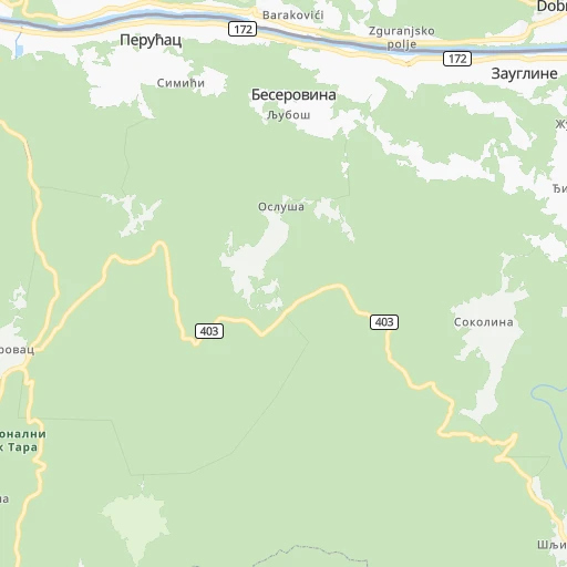
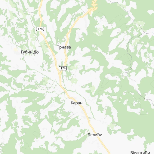
Roadmap (route) to go from Ponikve Airport to Apatin detailed above, you can also see the course layout on the map.
While doing trip Ponikve (airport) - Apatin by car, the calculated route ends at a distance , or more straight.
Distance and duration of the route between Ponikve (airport) and Apatin
Calculation of distance and route from Apatin to Ponikve (airport) :
204.8299.3 km5h10mn
Continue 0h1mn 216 mTurn left 0h8mn 2.1 kmTurn sharp right 0h7mn 3.5 kmKeep left 0h1mn 679 mTurn left 0h1mn 451 mTurn right 0h2mn 993 mTurn sharp right 0h1mn 727 mKeep left 0h1mn 300 mTurn sharp right onto 171 0h2mn 2.0 kmKeep left 0h0mn 36 mTurn left onto Дуб 0h13mn 14.1 kmTurn left onto 28 2h32mn 101.1 kmTurn left onto 27 0h24mn 26.6 kmAt roundabout, take exit 1 onto Srpske vojske 0h2mn 2.2 kmAt roundabout, take exit 1 onto Nikole Tesle 0h0mn 300 mKeep right onto Jovana Jovanovića Zmaja 0h0mn 66 mContinue onto Јована Јовановића Змаја 0h0mn 356 mTurn sharp right onto Majevička 0h0mn 197 mTurn left onto Dimitrija Tucovića 0h2mn 1.7 kmKeep left onto Dimitrija Tucovića 0h0mn 65 mContinue onto Komitska 0h0mn 73 mContinue onto Komitska 0h2mn 1.3 kmAt roundabout, take exit 2 onto M-I 115 1h43mn 47.8 kmTurn left onto Краља Петра првог 0h6mn 5.8 kmTurn left onto Војвођанска 0h5mn 5.1 kmTurn right onto 4199 0h3mn 3.1 kmAt roundabout, take exit 1 onto Obilaznica 0h8mn 6.3 kmTurn left onto Југословенске армије 0h1mn 446 mTurn right onto Шафарикова 0h1mn 551 mTurn left onto Цара Лазара 0h6mn 5.8 kmContinue onto 12 0h26mn 26.9 kmTurn left 0h12mn 3.2 kmTurn slight left onto Каравуковачки пут 0h2mn 1.4 kmTurn right onto Светозара Милетића 0h1mn 295 mTurn slight left onto Николе Тесле 0h0mn 70 mTurn slight right onto Бранкова 0h0mn 128 mTurn left onto Бранкова 0h0mn 29 mTurn right onto Фрушкогорска 0h1mn 483 mTurn slight left 0h7mn 5.7 kmContinue onto Петефи Шандор 0h12mn 12.0 kmTurn left onto Јована Јовановића Змаја 0h12mn 11.4 kmAt roundabout, take exit 3 onto Пригревачка 0h4mn 3.7 kmTurn left 0h0mn 87 mArrive at destination 0h0mn 0 m
Travel from Ponikve (airport) (Vojvodina) to a selection of major cities.
Distances from Ponikve Airport to biggest cities in Central Serbia
- Prokuplje,27,673 inhabitants.169 km
- Smederevska Palanka,27,000 inhabitants.113 km
- Knjazevac,25,000 inhabitants.209 km
- Arangelovac,24,309 inhabitants.83 km
- Gornji Milanovac,23,982 inhabitants.63 km
- Lazarevac,23,551 inhabitants.70 km
- Sremcica,23,000 inhabitants.103 km
- Cuprija,20,585 inhabitants.134 km
Other major cities in country :
Route from Apatin to major cities (Serbia).
- Distance Apatin Belgrade151 km
- Distance Apatin Nis349 km
- Distance Apatin Zemun144 km
- Distance Apatin Kragujevac239 km
- Distance Apatin Cacak226 km
- Distance Apatin Leskovac380 km
- Distance Apatin Novi Pazar307 km
- Distance Apatin Kraljevo255 km
- Distance Apatin Krusevac298 km
- Distance Apatin Uzice213 km
- Distance Apatin Smederevo189 km
- Distance Apatin Valjevo171 km
- Distance Apatin Vranje418 km
- Distance Apatin Sabac117 km
Nearest cities to Ponikve (airport) :
- Belgrade, 1,273,651 inhabitants. 118 km
- Nis, 250,000 inhabitants. 189 km
- Novi Sad, 215,400 inhabitants. 151 km
- Zemun, 155,591 inhabitants. 119 km
- Kragujevac, 147,473 inhabitants. 99 km
- Cacak, 117,072 inhabitants. 52 km
- Subotica, 100,000 inhabitants. 245 km
- Leskovac, 94,758 inhabitants. 208 km
- Novi Pazar, 85,996 inhabitants. 107 km
- Kraljevo, 82,846 inhabitants. 82 km
- Zrenjanin, 79,773 inhabitants. 174 km
- Pancevo, 76,654 inhabitants. 132 km
- Krusevac, 75,256 inhabitants. 136 km
- Uzice, 63,577 inhabitants. 13 km
- Smederevo, 62,000 inhabitants. 130 km
- Valjevo, 61,035 inhabitants. 45 km
- Vranje, 56,199 inhabitants. 233 km
- Sabac, 55,114 inhabitants. 94 km
- Zajecar, 49,800 inhabitants. 206 km
- Trstenik, 49,043 inhabitants. 110 km
- Sombor, 48,454 inhabitants. 214 km
- Kikinda, 41,935 inhabitants. 223 km
- Pozarevac, 41,736 inhabitants. 143 km
- Pirot, 40,678 inhabitants. 247 km
- Bor, 39,387 inhabitants. 193 km
- Sremska Mitrovica, 39,084 inhabitants. 120 km
- Vrsac, 36,300 inhabitants. 186 km
- Jagodina, 35,589 inhabitants. 126 km
- Ruma, 32,229 inhabitants. 124 km
- Backa Palanka, 29,449 inhabitants. 152 km
- Prokuplje, 27,673 inhabitants. 169 km
- Smederevska Palanka, 27,000 inhabitants. 113 km
- Ingija, 26,247 inhabitants. 132 km
- Vrbas, 25,907 inhabitants. 186 km
- Becej, 25,774 inhabitants. 193 km
- Knjazevac, 25,000 inhabitants. 209 km
- Arangelovac, 24,309 inhabitants. 83 km
- Gornji Milanovac, 23,982 inhabitants. 63 km
- Lazarevac, 23,551 inhabitants. 70 km
- Sremcica, 23,000 inhabitants. 103 km
- Cuprija, 20,585 inhabitants. 134 km
- Senta, 20,302 inhabitants. 228 km
- Apatin, 18,320 inhabitants. 205 km
- Negotin, 17,612 inhabitants. 230 km
- Obrenovac, 16,821 inhabitants. 93 km
- Stara Pazova, 16,217 inhabitants. 126 km
- Backa Topola, 16,154 inhabitants. 213 km
- Nova Pazova, 15,488 inhabitants. 123 km
- Kovin, 14,250 inhabitants. 139 km
- Petrovaradin, 13,917 inhabitants. 151 km
Location Ponikve (airport) (Central Serbia) :
| Country flag |  |
| Location | Ponikve (airport) |
| State | Central Serbia |
| County | Zlatibor |
| Country | Serbia |
| Country code / ISO 2 | RS |
| Latitude | 43.8989000 |
| Longitude | 19.6977000 |
| Altitude | 0 meters |
| Time zone | Europe/Belgrade |
Location Apatin (Vojvodina) :
| Country flag | |
| Location | Apatin |
| State | Vojvodina |
| County | West Bačka |
| Country | Serbia |
| Country code / ISO 2 | RS |
| Latitude | 45.6711100 |
| Longitude | 18.9847200 |
| Altitude | 0 meters |
| Time zone | Europe/Belgrade |

