
How to get from Yengema (airport) (Eastern Province) to Lunsar (Northern Province)
Calculate route from Yengema (airport) (Eastern Province, Sierra Leone) to Lunsar (Northern Province, Sierra Leone).
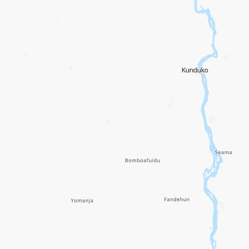
The flight distance (as the crow flies) between Yengema (airport) and Lunsar is 163.9 km.
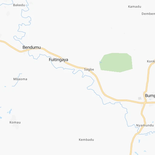
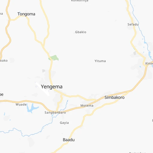
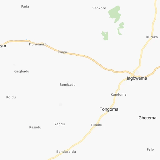
Roadmap (route) to go from Yengema Airport to Lunsar detailed above, you can also see the course layout on the map.
While doing trip Yengema (airport) - Lunsar by car, the calculated route ends at a distance , or more straight.
Distance and duration of the route between Yengema (airport) and Lunsar
Calculation of distance and route from Lunsar to Yengema (airport) :
163.9210.9 km3h2mn
Continue 0h1mn 416 mTurn left 0h0mn 213 mTurn right 2h2mn 146.7 kmAt roundabout, take exit 3 0h0mn 60 mTurn slight right onto Azzolini Highway 1h57mn 62.7 kmTurn left 0h1mn 636 mTurn sharp right 0h0mn 58 mTurn left 0h0mn 186 mTurn right 0h0mn 8 mArrive at destination 0h0mn 0 m
Travel from Yengema (airport) (Northern Province) to a selection of major cities.
Distances from Yengema Airport to biggest cities in Eastern Province
Other major cities in country :
Route from Lunsar to major cities (Sierra Leone).
- Distance Lunsar Freetown80 km
- Distance Lunsar Bo119 km
- Distance Lunsar Kenema173 km
- Distance Lunsar Koidu172 km
Nearest cities to Yengema (airport) :
- Freetown, 802,639 inhabitants. 241 km
- Bo, 174,354 inhabitants. 105 km
- Kenema, 143,137 inhabitants. 83 km
- Koidu, 88,000 inhabitants. 9 km
- Makeni, 87,679 inhabitants. 114 km
- Lunsar, 22,461 inhabitants. 164 km
- Port Loko, 21,308 inhabitants. 192 km
- Waterloo, 19,750 inhabitants. 225 km
- Kabala, 17,948 inhabitants. 122 km
- Segbwema, 16,532 inhabitants. 69 km
- Magburaka, 14,915 inhabitants. 100 km
- Kailahun, 14,085 inhabitants. 64 km
- Binkolo, 13,867 inhabitants. 110 km
- Freetown, 13,768 inhabitants. 248 km
- Bumpe, 13,580 inhabitants. 124 km
- Rokupr, 12,504 inhabitants. 148 km
- Gandorhun, 12,288 inhabitants. 137 km
- Kambia, 11,520 inhabitants. 214 km
- Yengema, 11,221 inhabitants. 18 km
- Gandorhun, 10,678 inhabitants. 151 km
- Bonthe, 9,647 inhabitants. 201 km
- Pendembu, 8,780 inhabitants. 69 km
- Blama, 8,146 inhabitants. 88 km
- Kamakwie, 8,098 inhabitants. 164 km
- Panguma, 7,965 inhabitants. 48 km
- Pujehun, 7,926 inhabitants. 158 km
- Kukuna, 7,676 inhabitants. 198 km
- Barma, 7,529 inhabitants. 43 km
- Boajibu, 7,384 inhabitants. 57 km
- Bunumbu, 7,355 inhabitants. 52 km
- Sumbuya, 7,074 inhabitants. 147 km
- Baoma, 7,044 inhabitants. 101 km
- Moyamba, 6,700 inhabitants. 161 km
- Mambolo, 6,624 inhabitants. 222 km
- Tombodu, 5,985 inhabitants. 71 km
- Daru, 5,958 inhabitants. 73 km
- Foindu, 5,868 inhabitants. 145 km
- Masingbi, 5,644 inhabitants. 102 km
- Motema, 5,474 inhabitants. 4 km
- Bomi, 5,463 inhabitants. 161 km
- Tintafor, 5,460 inhabitants. 239 km
- Buedu, 5,412 inhabitants. 83 km
- Mamboma, 5,201 inhabitants. 92 km
- Kassiri, 5,161 inhabitants. 231 km
- Hastings, 5,121 inhabitants. 232 km
- Hangha, 5,007 inhabitants. 75 km
- Potoru, 4,937 inhabitants. 132 km
- Rotifunk, 4,858 inhabitants. 185 km
- Zimmi, 4,796 inhabitants. 147 km
- Koribundu, 4,617 inhabitants. 123 km
Location Yengema (airport) (Eastern Province) :
| Country flag |  |
| Location | Yengema (airport) |
| State | Eastern Province |
| County | |
| Country | Sierra Leone |
| Country code / ISO 2 | SL |
| Latitude | 8.6104700 |
| Longitude | -11.0454000 |
| Altitude | 0 meters |
| Time zone | Africa/Freetown |
Location Lunsar (Northern Province) :
| Country flag |  |
| Location | Lunsar |
| State | Northern Province |
| County | |
| Country | Sierra Leone |
| Country code / ISO 2 | SL |
| Latitude | 8.6843900 |
| Longitude | -12.5349900 |
| Altitude | 0 meters |
| Time zone | Africa/Freetown |