
How to get from Bonnyville (airport) (Alberta) to Devon (Alberta)
Calculate route from Bonnyville (airport) (Alberta, Canada) to Devon (Alberta, Canada).
The flight distance (as the crow flies) between Bonnyville (airport) and Devon is 222.1 km.
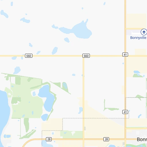
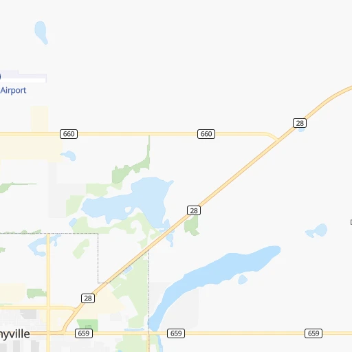
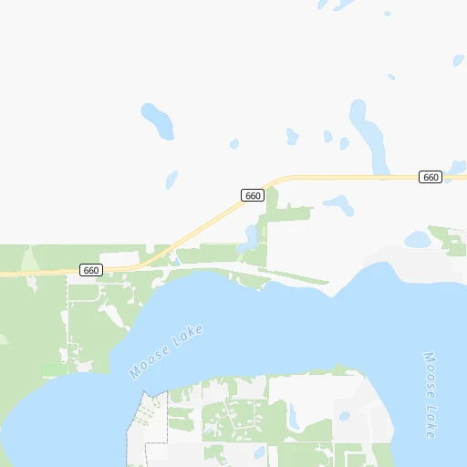
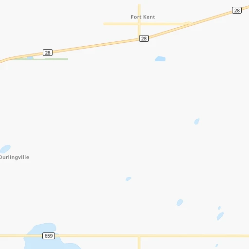
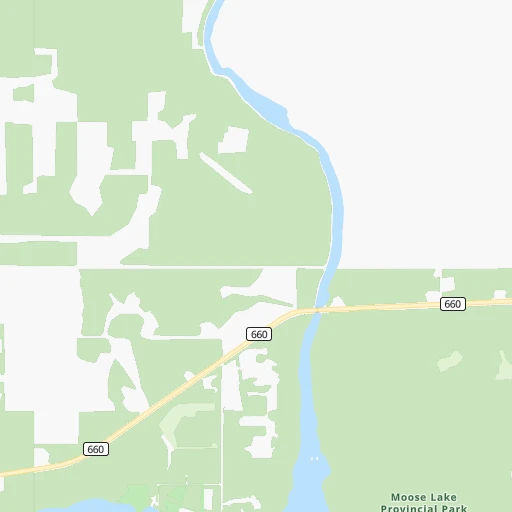
Roadmap (route) to go from Bonnyville Airport to Devon detailed above, you can also see the course layout on the map.
While doing trip Bonnyville (airport) - Devon by car, the calculated route ends at a distance , or more straight.
Distance and duration of the route between Bonnyville (airport) and Devon
Calculation of distance and route from Devon to Bonnyville (airport) :
222.1279.9 km3h14mn
Continue 0h1mn 247 mTurn right 0h0mn 62 mTurn left onto 61521A Highway 41 0h1mn 484 mTurn left onto Buffalo Trail 0h1mn 1.1 kmTurn right onto Secondary Highway 660 0h23mn 34.8 kmTurn left onto Range Road 493 0h6mn 9.7 kmTurn right onto Highway 28 0h14mn 21.7 kmContinue onto Veterans Memorial Highway 1h56mn 83.7 kmAt roundabout, take exit 2 onto Highway 28 0h25mn 36.9 kmTurn left onto Range Road 224 0h26mn 36.5 kmKeep right 0h0mn 94 mTurn right onto 18 Street NW 0h0mn 52 mTurn sharp left onto 195 Avenue NW 0h3mn 4.1 kmTurn left onto 66 Street NW 0h1mn 784 mKeep right and take 216 West toward Anthony Henday Drive 0h14mn 21.4 kmKeep right and take 16A West toward Spruce Grove, Stony Plain 0h0mn 398 mKeep right and take 16A West toward Spruce Grove, Stony Plain 0h4mn 5.4 kmTurn left onto Pinchback Road and drive toward The Ranch Golf & Country Club 0h0mn 59 mTurn right onto 100 Avenue 0h2mn 2.4 kmTurn right onto 96 Avenue 0h0mn 80 mTurn left onto Highway 60 0h14mn 19.4 kmTurn left onto Athabaska Avenue and drive toward Devon 0h0mn 187 mTurn left onto Superior Street 0h0mn 122 mTurn left onto Saskatchewan Avenue West 0h0mn 179 mArrive at destination 0h0mn 0 m
Travel from Bonnyville (airport) (Alberta) to a selection of major cities.
Distances from Bonnyville Airport to biggest cities in Alberta
Other major cities in country :
- Oshawa [08], 247,989 inhabitants. 2,567 km
- Gatineau [10], 242,124 inhabitants. 2,665 km
- Vaughan [08], 238,866 inhabitants. 2,531 km
- Kitchener [08], 233,700 inhabitants. 2,496 km
- Longueuil [10], 229,330 inhabitants. 2,802 km
- Burnaby [02], 202,799 inhabitants. 1,008 km
- Ladner [02], 200,000 inhabitants. 1,028 km
- Saskatoon [11], 198,958 inhabitants. 364 km
- Richmond Hill [08], 185,541 inhabitants. 2,532 km
- Barrie [08], 182,041 inhabitants. 2,482 km
- Richmond [02], 182,000 inhabitants. 1,026 km
- Nepean [08], 180,000 inhabitants. 2,670 km
- Regina [11], 176,183 inhabitants. 597 km
- Oakville [08], 165,697 inhabitants. 2,546 km
- Burlington [08], 164,415 inhabitants. 2,541 km
- Greater Sudbury [08], 157,857 inhabitants. 2,262 km
- Abbotsford [02], 151,683 inhabitants. 984 km
- Saguenay [10], 143,692 inhabitants. 2,795 km
- St. Catharines [08], 131,989 inhabitants. 2,593 km
- Sherbrooke [10], 129,447 inhabitants. 2,915 km
Route from Devon to major cities (Canada).
- Distance Devon Toronto2,716 km
- Distance Devon Montreal2,990 km
- Distance Devon Ottawa2,856 km
- Distance Devon Mississauga2,708 km
- Distance Devon North York2,712 km
- Distance Devon Winnipeg1,207 km
- Distance Devon Scarborough2,722 km
- Distance Devon Vancouver797 km
- Distance Devon Quebec3,074 km
- Distance Devon Hamilton2,717 km
- Distance Devon Brampton2,694 km
- Distance Devon Surrey790 km
- Distance Devon Laval2,980 km
- Distance Devon Halifax3,706 km
- Distance Devon Etobicoke2,709 km
- Distance Devon London2,645 km
- Distance Devon Okanagan510 km
- Distance Devon Victoria870 km
- Distance Devon Windsor2,577 km
- Distance Devon Markham2,715 km
Nearest cities to Bonnyville (airport) :
- Edmonton, 712,391 inhabitants. 197 km
- Fort McMurray, 76,000 inhabitants. 273 km
- St. Albert, 57,719 inhabitants. 204 km
- Sherwood Park, 55,063 inhabitants. 190 km
- Lloydminster, 27,000 inhabitants. 124 km
- North Battleford, 19,440 inhabitants. 235 km
- Camrose, 15,686 inhabitants. 199 km
- Leduc, 15,561 inhabitants. 218 km
- Fort Saskatchewan, 14,957 inhabitants. 175 km
- Cold Lake, 11,595 inhabitants. 41 km
- Wetaskiwin, 11,302 inhabitants. 228 km
- Lacombe, 10,059 inhabitants. 285 km
- Morinville, 8,108 inhabitants. 198 km
- Silver Berry, 8,089 inhabitants. 197 km
- Wild Rose, 8,031 inhabitants. 196 km
- Beaumont, 7,366 inhabitants. 205 km
- Ponoka, 6,656 inhabitants. 261 km
- Bonnyville, 6,003 inhabitants. 4 km
- Vegreville, 5,678 inhabitants. 124 km
- Stettler, 5,494 inhabitants. 257 km
- Wainwright, 5,380 inhabitants. 164 km
- Devon, 5,225 inhabitants. 222 km
- Larkspur, 4,988 inhabitants. 196 km
- Meadow Lake, 4,281 inhabitants. 151 km
- Kindersley, 4,249 inhabitants. 333 km
- Vermilion, 4,151 inhabitants. 106 km
- Hanna, 3,140 inhabitants. 307 km
- Three Hills, 3,051 inhabitants. 336 km
Location Bonnyville (airport) (Alberta) :
| Country flag |  |
| Location | Bonnyville (airport) |
| State | Alberta |
| County | |
| Country | Canada |
| Country code / ISO 2 | CA |
| Latitude | 54.3042000 |
| Longitude | -110.7440000 |
| Altitude | 0 meters |
| Time zone | America/Edmonton |
Location Devon (Alberta) :
| Country flag | |
| Location | Devon |
| State | Alberta |
| County | |
| Country | Canada |
| Country code / ISO 2 | CA |
| Latitude | 53.3668300 |
| Longitude | -113.7353300 |
| Altitude | 0 meters |
| Time zone | America/Edmonton |