
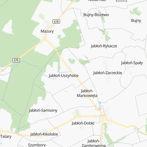
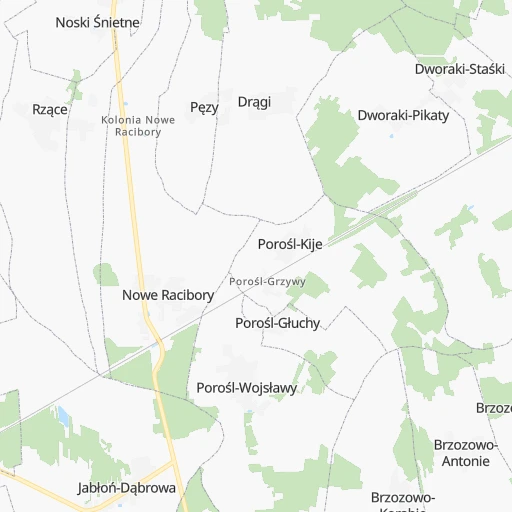
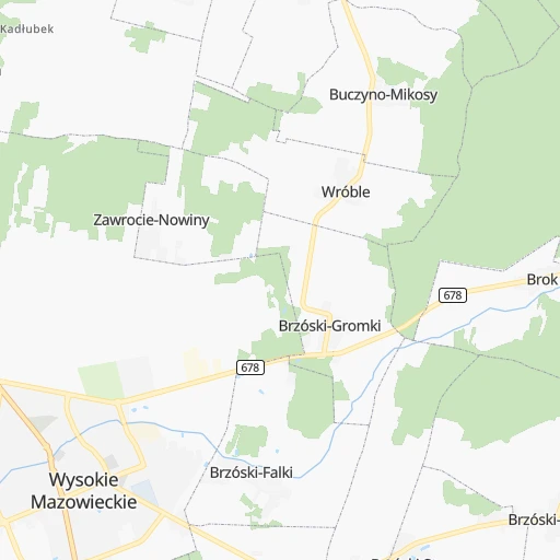
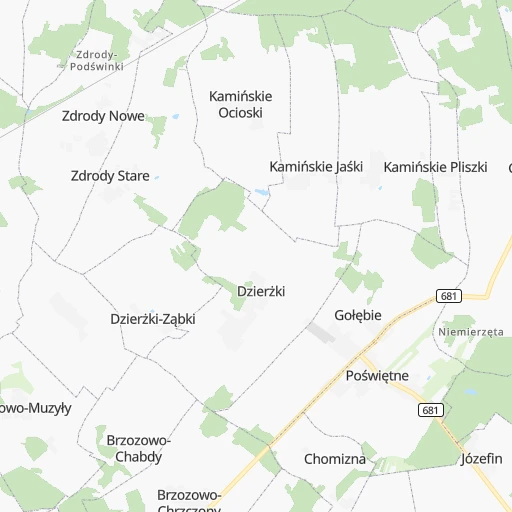
How to get from Racibory (Podlasie) to Ełk (Warmia-Masuria)
Calculate route from Racibory (Podlasie, Poland) to Ełk (Warmia-Masuria, Poland).
The flight distance (as the crow flies) between Racibory and Ełk is 102.5 km.
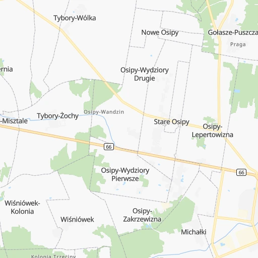
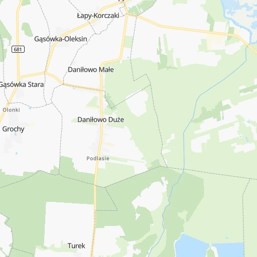
Roadmap (route) to go from Racibory to Ełk detailed above, you can also see the course layout on the map.
While doing trip Racibory - Ełk by car, the calculated route ends at a distance , or more straight.
Distance and duration of the route between Racibory and Ełk
Calculation of distance and route from Ełk to Racibory :
102.5125.9 km2h3mn
Continue 0h3mn 881 mTurn sharp right 0h9mn 7.4 kmTurn right onto Szosa Mazowiecka 0h0mn 89 mAt roundabout, take exit 3 onto Mazowiecka 0h1mn 476 mTurn slight left onto Krótka 0h0mn 76 mTurn slight right onto Tykocińska 0h1mn 721 mAt roundabout, take exit 2 onto 671 0h16mn 16.0 kmAt roundabout, take exit 2 onto 671 0h8mn 8.2 kmTurn right onto Złota 0h0mn 194 mTurn left 0h0mn 37 mTurn right onto Plac Stefana Czarnieckiego 0h0mn 152 mTurn left onto Włodzimierza Puchalskiego 0h16mn 15.2 kmTurn left onto Obozowa 1h56mn 65.7 kmAt roundabout, take exit 2 onto 65 0h1mn 831 mAt roundabout, take exit 2 onto 621 0h6mn 6.0 kmAt roundabout, take exit 3 onto Jana Kilińskiego 0h1mn 597 mAt roundabout, take exit 1 onto Jana Kilińskiego 0h1mn 808 mAt roundabout, take exit 2 onto Jana Kilińskiego 0h1mn 605 mTurn right onto Tadeusza Kościuszki 0h1mn 431 mTurn left onto Elizy Orzeszkowej 0h0mn 279 mTurn right onto Armii Krajowej 0h1mn 432 mTurn left onto Jarosława Dąbrowskiego 0h1mn 864 mTurn left onto Suwalska 0h0mn 9 mContinue onto Ignacego Łukasiewicza 0h0mn 18 mArrive at destination 0h0mn 0 m
Travel from Racibory (Warmia-Masuria) to a selection of major cities.
Distances from Racibory to biggest cities in Podlasie
Other major cities in country :
- Praga Poludnie [78], 187,845 inhabitants. 134 km
- Bielsko-Biala [83], 176,515 inhabitants. 429 km
- Olsztyn [85], 171,803 inhabitants. 175 km
- Rzeszow [80], 158,382 inhabitants. 325 km
- Ursynow [78], 147,676 inhabitants. 142 km
- Ruda Slaska [83], 146,189 inhabitants. 399 km
- Wola [78], 143,996 inhabitants. 139 km
- Rybnik [83], 142,510 inhabitants. 427 km
- Bielany [78], 134,854 inhabitants. 139 km
- Srodmiescie [78], 134,306 inhabitants. 139 km
- Dabrowa Gornicza [83], 130,601 inhabitants. 377 km
- Tychy [83], 130,000 inhabitants. 405 km
- Opole [79], 127,676 inhabitants. 414 km
- Elblag [85], 127,558 inhabitants. 257 km
- Plock [78], 127,474 inhabitants. 207 km
- Walbrzych [72], 127,431 inhabitants. 503 km
- Gorzow Wielkopolski [76], 124,430 inhabitants. 503 km
- Targowek [78], 124,316 inhabitants. 133 km
- Wloclawek [73], 120,339 inhabitants. 247 km
- Zielona Gora [76], 118,433 inhabitants. 501 km
Route from Ełk to major cities (Poland).
- Distance Ełk Warsaw200 km
- Distance Ełk Lodz300 km
- Distance Ełk Krakow451 km
- Distance Ełk Wroclaw472 km
- Distance Ełk Poznan396 km
- Distance Ełk Gdansk250 km
- Distance Ełk Szczecin517 km
- Distance Ełk Bydgoszcz299 km
- Distance Ełk Lublin287 km
- Distance Ełk Katowice458 km
- Distance Ełk Bialystok94 km
- Distance Ełk Gdynia261 km
- Distance Ełk Czestochowa403 km
- Distance Ełk Sosnowiec453 km
- Distance Ełk Radom282 km
- Distance Ełk Mokotow203 km
- Distance Ełk Torun266 km
- Distance Ełk Kielce350 km
- Distance Ełk Gliwice467 km
- Distance Ełk Zabrze460 km
Nearest cities to Racibory :
- Warsaw, 1,702,139 inhabitants. 139 km
- Krakow, 755,050 inhabitants. 373 km
- Lublin, 360,044 inhabitants. 187 km
- Bialystok, 291,855 inhabitants. 38 km
- Radom, 226,794 inhabitants. 201 km
- Mokotow, 212,670 inhabitants. 140 km
- Kielce, 208,598 inhabitants. 270 km
- Praga Poludnie, 187,845 inhabitants. 134 km
- Olsztyn, 171,803 inhabitants. 175 km
- Rzeszow, 158,382 inhabitants. 325 km
- Ursynow, 147,676 inhabitants. 142 km
- Wola, 143,996 inhabitants. 139 km
- Bielany, 134,854 inhabitants. 139 km
- Srodmiescie, 134,306 inhabitants. 139 km
- Targowek, 124,316 inhabitants. 133 km
- Tarnow, 117,799 inhabitants. 346 km
- Bemowo, 102,393 inhabitants. 143 km
- Praga Polnoc, 93,192 inhabitants. 136 km
- Ochota, 93,192 inhabitants. 141 km
- Bialoleka, 89,324 inhabitants. 136 km
- Siedlce, 77,185 inhabitants. 89 km
- Ostrowiec Swietokrzyski, 73,989 inhabitants. 240 km
- Suwalki, 69,222 inhabitants. 132 km
- Chelm, 68,043 inhabitants. 206 km
- Tomaszow Mazowiecki, 67,197 inhabitants. 241 km
- Stalowa Wola, 66,495 inhabitants. 265 km
- Zamosc, 66,034 inhabitants. 248 km
- Lomza, 63,723 inhabitants. 52 km
- Wawer, 62,656 inhabitants. 132 km
- Mielec, 60,993 inhabitants. 307 km
- Biala Podlaska, 57,541 inhabitants. 104 km
- Elk, 55,769 inhabitants. 103 km
- Pruszkow, 55,371 inhabitants. 154 km
- Ostroleka, 53,740 inhabitants. 78 km
- Starachowice, 53,739 inhabitants. 239 km
- Zoliborz, 50,934 inhabitants. 138 km
- Legionowo, 50,786 inhabitants. 134 km
- Tarnobrzeg, 50,459 inhabitants. 272 km
- Pulawy, 49,759 inhabitants. 176 km
- Skarzysko-Kamienna, 49,410 inhabitants. 238 km
- Skierniewice, 49,042 inhabitants. 204 km
- Debica, 47,366 inhabitants. 333 km
- Ursus, 47,285 inhabitants. 148 km
- Ciechanow, 46,438 inhabitants. 140 km
- Otwock, 43,388 inhabitants. 134 km
- Zyrardow, 41,179 inhabitants. 182 km
- Jaroslaw, 40,134 inhabitants. 324 km
- Swidnik, 40,050 inhabitants. 190 km
- Sochaczew, 38,267 inhabitants. 184 km
- Minsk Mazowiecki, 37,027 inhabitants. 114 km
Location Racibory (Podlasie) :
| Country flag |  |
| Location | Racibory |
| State | Podlasie |
| County | Powiat białostocki |
| Country | Poland |
| Country code / ISO 2 | PL |
| Latitude | 52.9288600 |
| Longitude | 22.7103900 |
| Altitude | 0 meters |
| Time zone | Europe/Warsaw |
Location Ełk (Warmia-Masuria) :
| Country flag | |
| Location | Ełk |
| State | Warmia-Masuria |
| County | Powiat ełcki |
| Country | Poland |
| Country code / ISO 2 | PL |
| Latitude | 53.8282400 |
| Longitude | 22.3646900 |
| Altitude | 0 meters |
| Time zone | Europe/Warsaw |

