
How to get from Akase Eki (Kumamoto) to Maebaru-chūō (Fukuoka)
Calculate route from Akase Eki (Kumamoto, Japan) to Maebaru-chūō (Fukuoka, Japan).
The flight distance (as the crow flies) between Akase Eki and Maebaru-chūō is 104.7 km.
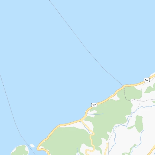
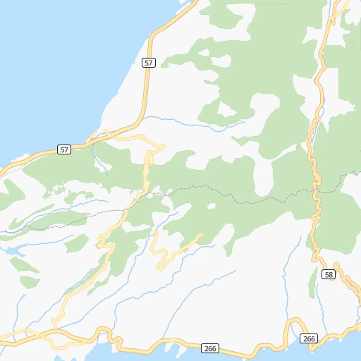
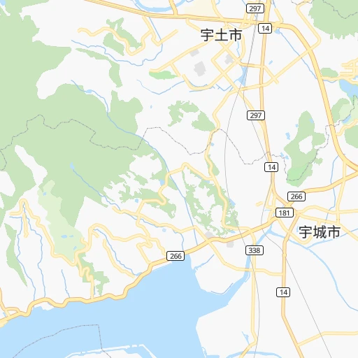
Roadmap (route) to go from Akase Eki to Maebaru-chūō detailed above, you can also see the course layout on the map.
While doing trip Akase Eki - Maebaru-chūō by car, the calculated route ends at a distance , or more straight.
Distance and duration of the route between Akase Eki and Maebaru-chūō
Calculation of distance and route from Maebaru-chūō to Akase Eki :
104.7147.5 km2h7mn
Continue 0h0mn 31 mTurn right 0h0mn 125 mKeep right 0h0mn 125 mTurn right onto 国道57号 0h12mn 13.5 kmTurn left 0h1mn 782 mTurn right 0h0mn 215 mContinue 0h1mn 401 mTurn right 0h2mn 1.6 kmTurn sharp left onto 国道501号 0h3mn 3.5 kmTurn right onto 国道501号 0h14mn 16.0 kmKeep right onto 国道501号 0h4mn 4.9 kmTurn left onto 国道501号 0h14mn 16.1 kmTurn right onto 国道389号 0h3mn 3.8 kmTurn left onto 国道389号 0h3mn 3.5 kmTurn left 0h0mn 380 mTurn left onto 三池港線 0h0mn 326 mTurn right 0h12mn 19.2 kmKeep left 0h1mn 1.2 kmKeep left 0h1mn 1.2 kmTurn right onto 三橋大川バイパス 0h3mn 3.5 kmContinue onto 国道385号 0h5mn 5.9 kmTurn left 0h1mn 741 mTurn left onto 国道385号 0h0mn 165 mTurn right onto 国道385号 0h2mn 1.9 kmTurn left onto 国道264号 0h0mn 92 mTurn sharp right onto 国道385号 0h3mn 4.0 kmContinue onto 肥前神埼停車場線 0h1mn 775 mTurn right onto 三瀬神埼線 0h16mn 18.0 kmTurn right onto 国道263号 0h5mn 5.5 kmContinue onto 三瀬トンネル有料道路 0h4mn 4.9 kmContinue onto 国道263号 0h1mn 687 mTurn right 0h0mn 9 mTurn right 0h0mn 116 mTurn right onto 国道263号 0h1mn 835 mTurn left onto 福岡早良大野城線 0h7mn 8.2 kmTurn left onto 大門有田線 0h3mn 2.5 kmContinue onto 大門有田線旧道 0h0mn 380 mTurn right onto 雷山前原線旧道 0h2mn 1.9 kmKeep left 0h0mn 68 mTurn left 0h0mn 19 mTurn right 0h0mn 206 mTurn slight right 0h0mn 145 mTurn sharp right 0h0mn 11 mTurn left 0h0mn 92 mArrive at destination 0h0mn 0 m
Travel from Akase Eki (Fukuoka) to a selection of major cities.
Distances from Akase Eki to biggest cities in Kumamoto
Other major cities in country :
- Honcho [04], 560,743 inhabitants. 936 km
- Kagoshima [18], 555,352 inhabitants. 121 km
- Niigata [29], 505,272 inhabitants. 967 km
- Himeji [13], 481,493 inhabitants. 457 km
- Matsudo [04], 470,277 inhabitants. 931 km
- Nishinomiya-hama [13], 468,925 inhabitants. 502 km
- Kawaguchi [34], 468,565 inhabitants. 916 km
- Kanazawa [15], 458,937 inhabitants. 711 km
- Utsunomiya [38], 449,865 inhabitants. 962 km
- Oita [30], 448,907 inhabitants. 121 km
- Matsuyama [05], 443,322 inhabitants. 248 km
- Amagasaki [13], 442,173 inhabitants. 509 km
- Kurashiki [31], 437,581 inhabitants. 371 km
- Yokosuka [19], 428,992 inhabitants. 894 km
- Nagasaki [27], 410,204 inhabitants. 60 km
- Hirakata [32], 406,331 inhabitants. 533 km
- Machida [40], 399,969 inhabitants. 884 km
- Gifu-shi [09], 397,714 inhabitants. 654 km
- Fujisawa [19], 394,624 inhabitants. 880 km
- Toyonaka [32], 384,459 inhabitants. 517 km
Route from Maebaru-chūō to major cities (Japan).
- Distance Maebaru-chūō Tokyo901 km
- Distance Maebaru-chūō Yokohama891 km
- Distance Maebaru-chūō Osaka504 km
- Distance Maebaru-chūō Nagoya642 km
- Distance Maebaru-chūō Sapporo1,436 km
- Distance Maebaru-chūō Kobe476 km
- Distance Maebaru-chūō Kyoto536 km
- Distance Maebaru-chūō Kawasaki899 km
- Distance Maebaru-chūō Saitama903 km
- Distance Maebaru-chūō Hiroshima228 km
- Distance Maebaru-chūō Yono900 km
- Distance Maebaru-chūō Sendai1,094 km
- Distance Maebaru-chūō Chiba936 km
- Distance Maebaru-chūō Sakai499 km
- Distance Maebaru-chūō Shizuoka769 km
- Distance Maebaru-chūō Kumamoto95 km
- Distance Maebaru-chūō Okayama365 km
- Distance Maebaru-chūō Hamamatsu705 km
- Distance Maebaru-chūō Hachioji867 km
- Distance Maebaru-chūō Honcho927 km
Nearest cities to Akase Eki :
- Fukuoka, 1,392,289 inhabitants. 106 km
- Hiroshima, 1,143,841 inhabitants. 265 km
- Kitakyushu, 997,536 inhabitants. 137 km
- Kumamoto, 680,423 inhabitants. 24 km
- Kagoshima, 555,352 inhabitants. 121 km
- Oita, 448,907 inhabitants. 121 km
- Matsuyama, 443,322 inhabitants. 248 km
- Nagasaki, 410,204 inhabitants. 60 km
- Fukuyama, 383,298 inhabitants. 334 km
- Miyazaki, 311,203 inhabitants. 118 km
- Shimonoseki, 245,786 inhabitants. 150 km
- Kurume, 238,197 inhabitants. 74 km
- Sasebo, 237,444 inhabitants. 93 km
- Kure, 196,624 inhabitants. 260 km
- Ube, 173,733 inhabitants. 159 km
- Saga, 165,236 inhabitants. 68 km
- Matsue, 156,811 inhabitants. 393 km
- Yamaguchi, 145,515 inhabitants. 192 km
- Yonago, 141,368 inhabitants. 404 km
- Omuta, 131,974 inhabitants. 43 km
- Miyakonojo, 130,994 inhabitants. 115 km
- Beppu, 125,065 inhabitants. 116 km
- Niihama, 123,059 inhabitants. 298 km
- Nobeoka, 121,949 inhabitants. 109 km
- Hofu, 116,925 inhabitants. 184 km
- Honmachi, 104,341 inhabitants. 19 km
- Iwakuni, 104,004 inhabitants. 231 km
- Tokuyama, 101,133 inhabitants. 197 km
- Chikushino-shi, 100,353 inhabitants. 94 km
- Isahaya, 97,371 inhabitants. 48 km
- Onojo, 94,957 inhabitants. 98 km
- Onomichi, 90,936 inhabitants. 318 km
- Omura, 89,918 inhabitants. 60 km
- Izumo, 89,286 inhabitants. 367 km
- Kanoya, 82,335 inhabitants. 145 km
- Mihara, 80,387 inhabitants. 308 km
- Karatsu, 78,330 inhabitants. 101 km
- Iizuka, 78,206 inhabitants. 111 km
- Hatsukaichi, 77,341 inhabitants. 254 km
- Tsurusaki, 76,968 inhabitants. 129 km
- Satsumasendai, 73,132 inhabitants. 95 km
- Yukuhashi, 71,277 inhabitants. 128 km
- Dazaifu, 70,587 inhabitants. 96 km
- Maebaru-chuo, 70,339 inhabitants. 105 km
- Nakatsu, 67,372 inhabitants. 123 km
- Tosu, 63,595 inhabitants. 79 km
- Hita, 61,481 inhabitants. 85 km
- Koga, 60,045 inhabitants. 120 km
- Uwajima, 58,971 inhabitants. 202 km
- Saijo, 58,823 inhabitants. 286 km
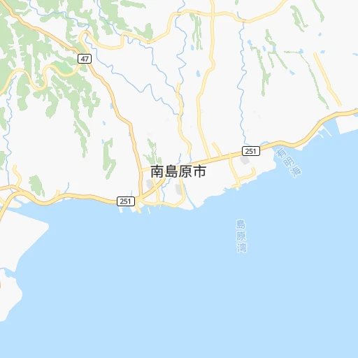
Location Akase Eki (Kumamoto) :
| Country flag |  |
| Location | Akase Eki |
| State | Kumamoto |
| County | Uto Shi |
| Country | Japan |
| Country code / ISO 2 | JP |
| Latitude | 32.6531500 |
| Longitude | 130.5101100 |
| Altitude | 0 meters |
| Time zone | Asia/Tokyo |
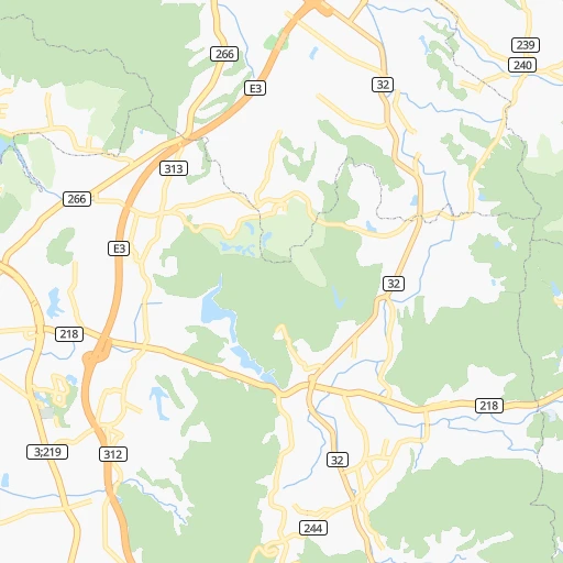
Location Maebaru-chūō (Fukuoka) :
| Country flag | |
| Location | Maebaru-chūō |
| State | Fukuoka |
| County | Itoshima-shi |
| Country | Japan |
| Country code / ISO 2 | JP |
| Latitude | 33.5591600 |
| Longitude | 130.2014800 |
| Altitude | 0 meters |
| Time zone | Asia/Tokyo |
