

How to get from Kōtachi-eki (Hiroshima) to Tondabayashi (Ōsaka)
Calculate route from Kōtachi-eki (Hiroshima, Japan) to Tondabayashi (Ōsaka, Japan).
The flight distance (as the crow flies) between Kōtachi-eki and Tondabayashi is 260.8 km.
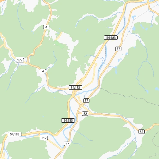
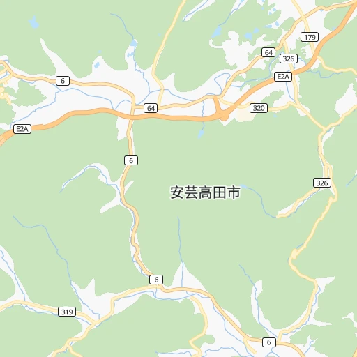
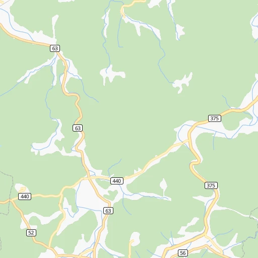
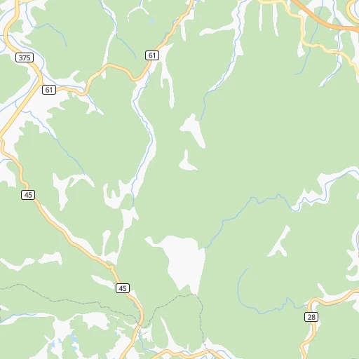
Roadmap (route) to go from Kōtachi-eki to Tondabayashi detailed above, you can also see the course layout on the map.
While doing trip Kōtachi-eki - Tondabayashi by car, the calculated route ends at a distance , or more straight.
Distance and duration of the route between Kōtachi-eki and Tondabayashi
Calculation of distance and route from Tondabayashi to Kōtachi-eki :
260.8332.6 km4h17mn
Continue 0h0mn 20 mTurn right 0h0mn 109 mTurn right 0h1mn 602 mTurn left onto 世羅甲田線 0h9mn 9.7 kmTurn right onto 国道375号 0h1mn 1.2 kmTurn left onto 世羅甲田線 0h4mn 4.3 kmTurn left 0h2mn 1.1 kmTurn left onto 世羅甲田線 0h2mn 1.8 kmContinue onto 吉舎豊栄線 0h2mn 1.7 kmContinue onto 世羅甲田線 0h5mn 6.0 kmTurn left 0h3mn 2.6 kmTurn left onto 国道432号 0h7mn 8.2 kmTurn right 0h0mn 499 mKeep left 0h0mn 267 mContinue onto 尾道自動車道 0h11mn 18.3 kmKeep left 3h31mn 212.5 kmKeep left onto 山陽自動車道 0h0mn 355 mKeep right onto 神戸JCT 0h13mn 15.1 kmKeep left 0h1mn 763 mKeep left 0h1mn 512 mKeep right 0h0mn 201 mTurn right onto 米谷昆陽尼崎線 0h1mn 1.1 kmTurn left onto 米谷昆陽尼崎線 0h0mn 147 mTurn right 0h0mn 10 mContinue onto 米谷昆陽尼崎線 0h0mn 269 mTurn right onto 米谷昆陽尼崎線 0h0mn 266 mTurn left onto 米谷昆陽尼崎線, 中野中筋線 0h0mn 160 mTurn right onto 米谷昆陽尼崎線 0h4mn 3.8 kmTurn left onto 東富松御願塚線 0h1mn 998 mContinue onto 大阪伊丹線 0h0mn 507 mTurn right onto 大阪伊丹線 0h2mn 2.7 kmKeep right 0h0mn 120 mTurn slight left onto 近松線 0h1mn 902 mKeep right onto 大阪伊丹線 0h2mn 1.8 kmTurn right onto みてじま筋 0h0mn 481 mKeep left onto 11 0h9mn 9.2 kmKeep left onto 阪神高速1号環状線 0h18mn 20.7 kmKeep left 0h0mn 113 mTurn left 0h0mn 208 mTurn right 0h1mn 815 mTurn right onto 堺富田林線 0h2mn 2.0 kmKeep left 0h1mn 274 mTurn left onto 南会所町 0h0mn 205 mArrive at destination 0h0mn 0 m
Travel from Kōtachi-eki (Ōsaka) to a selection of major cities.
Distances from Kōtachi-eki to biggest cities in Hiroshima
Other major cities in country :
- Honcho [04], 560,743 inhabitants. 667 km
- Kagoshima [18], 555,352 inhabitants. 404 km
- Niigata [29], 505,272 inhabitants. 663 km
- Himeji [13], 481,493 inhabitants. 178 km
- Matsudo [04], 470,277 inhabitants. 660 km
- Nishinomiya-hama [13], 468,925 inhabitants. 235 km
- Kawaguchi [34], 468,565 inhabitants. 644 km
- Kanazawa [15], 458,937 inhabitants. 408 km
- Utsunomiya [38], 449,865 inhabitants. 677 km
- Oita [30], 448,907 inhabitants. 195 km
- Matsuyama [05], 443,322 inhabitants. 95 km
- Amagasaki [13], 442,173 inhabitants. 243 km
- Kurashiki [31], 437,581 inhabitants. 93 km
- Yokosuka [19], 428,992 inhabitants. 633 km
- Nagasaki [27], 410,204 inhabitants. 343 km
- Hirakata [32], 406,331 inhabitants. 265 km
- Machida [40], 399,969 inhabitants. 616 km
- Gifu-shi [09], 397,714 inhabitants. 373 km
- Fujisawa [19], 394,624 inhabitants. 617 km
- Toyonaka [32], 384,459 inhabitants. 248 km
Route from Tondabayashi to major cities (Japan).
- Distance Tondabayashi Tokyo395 km
- Distance Tondabayashi Yokohama384 km
- Distance Tondabayashi Nagoya141 km
- Distance Tondabayashi Sapporo1,075 km
- Distance Tondabayashi Kobe44 km
- Distance Tondabayashi Kyoto60 km
- Distance Tondabayashi Fukuoka489 km
- Distance Tondabayashi Kawasaki392 km
- Distance Tondabayashi Saitama401 km
- Distance Tondabayashi Hiroshima290 km
- Distance Tondabayashi Yono398 km
- Distance Tondabayashi Sendai631 km
- Distance Tondabayashi Kitakyushu443 km
- Distance Tondabayashi Chiba429 km
- Distance Tondabayashi Shizuoka260 km
- Distance Tondabayashi Kumamoto492 km
- Distance Tondabayashi Okayama154 km
- Distance Tondabayashi Hamamatsu197 km
- Distance Tondabayashi Hachioji363 km
- Distance Tondabayashi Honcho421 km
Nearest cities to Kōtachi-eki :
- Osaka, 2,592,413 inhabitants. 251 km
- Kobe, 1,528,478 inhabitants. 222 km
- Kyoto, 1,459,640 inhabitants. 276 km
- Fukuoka, 1,392,289 inhabitants. 248 km
- Hiroshima, 1,143,841 inhabitants. 43 km
- Kitakyushu, 997,536 inhabitants. 199 km
- Sakai, 782,339 inhabitants. 248 km
- Kumamoto, 680,423 inhabitants. 284 km
- Okayama, 639,652 inhabitants. 108 km
- Himeji, 481,493 inhabitants. 178 km
- Nishinomiya-hama, 468,925 inhabitants. 235 km
- Oita, 448,907 inhabitants. 195 km
- Matsuyama, 443,322 inhabitants. 95 km
- Amagasaki, 442,173 inhabitants. 243 km
- Kurashiki, 437,581 inhabitants. 93 km
- Nagasaki, 410,204 inhabitants. 343 km
- Hirakata, 406,331 inhabitants. 265 km
- Toyonaka, 384,459 inhabitants. 248 km
- Fukuyama, 383,298 inhabitants. 60 km
- Minato, 375,339 inhabitants. 226 km
- Takatsuki, 354,468 inhabitants. 262 km
- Suita, 351,630 inhabitants. 252 km
- Wakayama, 351,000 inhabitants. 227 km
- Kochi, 335,570 inhabitants. 146 km
- Takamatsu, 334,223 inhabitants. 125 km
- Miyazaki, 311,203 inhabitants. 333 km
- Akashi, 297,279 inhabitants. 206 km
- Ibaraki, 273,992 inhabitants. 257 km
- Yao, 273,213 inhabitants. 260 km
- Kakogawacho-honmachi, 271,634 inhabitants. 189 km
- Tokushima, 267,345 inhabitants. 180 km
- Shimonoseki, 245,786 inhabitants. 186 km
- Neyagawa, 238,549 inhabitants. 262 km
- Kurume, 238,197 inhabitants. 258 km
- Takarazuka, 219,789 inhabitants. 238 km
- Kishiwada, 205,561 inhabitants. 240 km
- Kure, 196,624 inhabitants. 54 km
- Itami, 193,524 inhabitants. 242 km
- Izumi, 189,085 inhabitants. 246 km
- Ube, 173,733 inhabitants. 162 km
- Saga, 165,236 inhabitants. 279 km
- Kawanishi, 160,520 inhabitants. 243 km
- Matsue, 156,811 inhabitants. 92 km
- Tottori, 154,098 inhabitants. 162 km
- Moriguchi, 148,350 inhabitants. 257 km
- Yamaguchi, 145,515 inhabitants. 132 km
- Yonago, 141,368 inhabitants. 98 km
- Tondabayashicho, 132,873 inhabitants. 261 km
- Sandacho, 132,858 inhabitants. 227 km
- Omuta, 131,974 inhabitants. 282 km
Location Kōtachi-eki (Hiroshima) :
| Country flag |  |
| Location | Kōtachi-eki |
| State | Hiroshima |
| County | Aki-takata Shi |
| Country | Japan |
| Country code / ISO 2 | JP |
| Latitude | 34.6925900 |
| Longitude | 132.7600600 |
| Altitude | 0 meters |
| Time zone | Asia/Tokyo |
Location Tondabayashi (Ōsaka) :
| Country flag | |
| Location | Tondabayashi |
| State | Ōsaka |
| County | Tondabayashi Shi |
| Country | Japan |
| Country code / ISO 2 | JP |
| Latitude | 34.5006500 |
| Longitude | 135.6021100 |
| Altitude | 0 meters |
| Time zone | Asia/Tokyo |
