


How to get from Toyokoro Eki (Hokkaido) to Ashibetsu (Hokkaido)
Calculate route from Toyokoro Eki (Hokkaido, Japan) to Ashibetsu (Hokkaido, Japan).
The flight distance (as the crow flies) between Toyokoro Eki and Ashibetsu is 134.0 km.
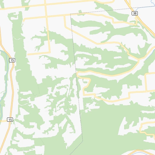
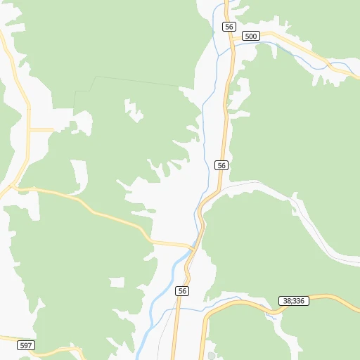
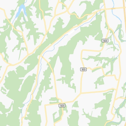
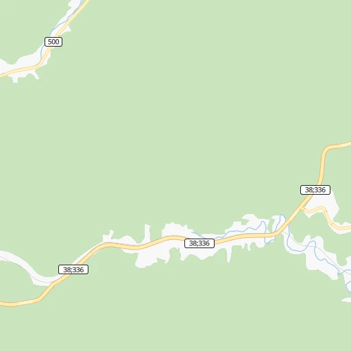
Roadmap (route) to go from Toyokoro Eki to Ashibetsu detailed above, you can also see the course layout on the map.
While doing trip Toyokoro Eki - Ashibetsu by car, the calculated route ends at a distance , or more straight.
Distance and duration of the route between Toyokoro Eki and Ashibetsu
Calculation of distance and route from Ashibetsu to Toyokoro Eki :
134.0179.7 km2h28mn
Continue onto 尾田豊頃停車場線 0h0mn 274 mTurn slight left onto 帯広浦幌線 0h0mn 71 mTurn right onto 国道38号 1h35mn 41.3 kmTurn right onto 芽室帯広インター線 0h1mn 750 mKeep right 0h3mn 4.5 kmKeep left onto 道東自動車道 0h0mn 547 mTurn slight left onto 道東自動車道, 十勝スカイロード 0h27mn 41.8 kmKeep left 0h1mn 821 mTurn right onto 夕張新得線 0h6mn 4.6 kmContinue onto 落合停車場線 0h6mn 6.2 kmTurn left onto 国道38号 0h9mn 10.5 kmTurn right onto 国道38号 0h28mn 33.2 kmContinue onto 富良野道路 0h5mn 8.6 kmTurn sharp left onto 国道38号 0h23mn 24.1 kmTurn left onto 芦別砂川線 0h1mn 883 mContinue onto 国道452号 0h1mn 924 mTurn left 0h1mn 420 mTurn left 0h0mn 134 mArrive at destination 0h0mn 0 m
Travel from Toyokoro Eki (Hokkaido) to a selection of major cities.
Distances from Toyokoro Eki to biggest cities in Hokkaido
- Nemuro,31,223 inhabitants.175 km
- Honcho,30,008 inhabitants.256 km
- Bibai,29,028 inhabitants.148 km
- Mombetsu,26,895 inhabitants.172 km
- Nayoro,26,457 inhabitants.192 km
- Rumoi,26,454 inhabitants.197 km
- Fukagawa,26,152 inhabitants.157 km
- Makubetsu,25,935 inhabitants.316 km
- Shimo-furano,25,872 inhabitants.111 km
- Motomachi,22,972 inhabitants.121 km
- Yoichi,22,788 inhabitants.229 km
- Shizunai-furukawacho,22,436 inhabitants.110 km
- Tobetsu,21,818 inhabitants.170 km
- Shibetsu,21,744 inhabitants.160 km
- Shiraoi,20,804 inhabitants.182 km
- Sunagawa,20,102 inhabitants.152 km
Other major cities in country :
- Honcho [04], 560,743 inhabitants. 849 km
- Kagoshima [18], 555,352 inhabitants. 1,698 km
- Niigata [29], 505,272 inhabitants. 670 km
- Himeji [13], 481,493 inhabitants. 1,174 km
- Matsudo [04], 470,277 inhabitants. 844 km
- Nishinomiya-hama [13], 468,925 inhabitants. 1,148 km
- Kawaguchi [34], 468,565 inhabitants. 847 km
- Kanazawa [15], 458,937 inhabitants. 911 km
- Utsunomiya [38], 449,865 inhabitants. 763 km
- Oita [30], 448,907 inhabitants. 1,492 km
- Matsuyama [05], 443,322 inhabitants. 1,370 km
- Amagasaki [13], 442,173 inhabitants. 1,143 km
- Kurashiki [31], 437,581 inhabitants. 1,248 km
- Yokosuka [19], 428,992 inhabitants. 903 km
- Nagasaki [27], 410,204 inhabitants. 1,639 km
- Hirakata [32], 406,331 inhabitants. 1,122 km
- Machida [40], 399,969 inhabitants. 883 km
- Gifu-shi [09], 397,714 inhabitants. 1,009 km
- Fujisawa [19], 394,624 inhabitants. 902 km
- Toyonaka [32], 384,459 inhabitants. 1,135 km
Route from Ashibetsu to major cities (Japan).
- Distance Ashibetsu Tokyo896 km
- Distance Ashibetsu Yokohama925 km
- Distance Ashibetsu Osaka1,138 km
- Distance Ashibetsu Nagoya1,032 km
- Distance Ashibetsu Kobe1,152 km
- Distance Ashibetsu Kyoto1,095 km
- Distance Ashibetsu Fukuoka1,503 km
- Distance Ashibetsu Kawasaki914 km
- Distance Ashibetsu Saitama873 km
- Distance Ashibetsu Hiroshima1,317 km
- Distance Ashibetsu Yono877 km
- Distance Ashibetsu Sendai594 km
- Distance Ashibetsu Kitakyushu1,455 km
- Distance Ashibetsu Chiba898 km
- Distance Ashibetsu Sakai1,150 km
- Distance Ashibetsu Shizuoka1,004 km
- Distance Ashibetsu Kumamoto1,556 km
- Distance Ashibetsu Okayama1,216 km
- Distance Ashibetsu Hamamatsu1,053 km
- Distance Ashibetsu Hachioji908 km
Nearest cities to Toyokoro Eki :
- Sapporo, 1,883,027 inhabitants. 181 km
- Asahikawa, 356,612 inhabitants. 142 km
- Aomori, 298,394 inhabitants. 322 km
- Hakodate, 275,730 inhabitants. 258 km
- Hachinohe, 239,046 inhabitants. 309 km
- Kushiro, 183,612 inhabitants. 70 km
- Tomakomai, 174,806 inhabitants. 160 km
- Obihiro, 173,890 inhabitants. 29 km
- Otaru, 143,792 inhabitants. 211 km
- Ebetsu, 133,953 inhabitants. 165 km
- Kitami, 113,137 inhabitants. 113 km
- Muroran, 96,197 inhabitants. 216 km
- Chitose, 92,942 inhabitants. 154 km
- Iwamizawa, 85,107 inhabitants. 151 km
- Odate, 64,543 inhabitants. 377 km
- Kitahiroshima, 62,370 inhabitants. 162 km
- Ishikari, 57,301 inhabitants. 184 km
- Mutsu, 49,220 inhabitants. 256 km
- Takikawa, 45,131 inhabitants. 156 km
- Misawa, 42,805 inhabitants. 297 km
- Abashiri, 42,498 inhabitants. 146 km
- Wakkanai, 41,556 inhabitants. 325 km
- Otofuke, 40,944 inhabitants. 34 km
- Kuroishi, 38,615 inhabitants. 345 km
- Kamiiso, 38,098 inhabitants. 263 km
- Hanawa, 36,925 inhabitants. 372 km
- Date, 35,301 inhabitants. 222 km
- Nemuro, 31,223 inhabitants. 175 km
- Honcho, 30,008 inhabitants. 256 km
- Bibai, 29,028 inhabitants. 148 km
- Mombetsu, 26,895 inhabitants. 172 km
- Nayoro, 26,457 inhabitants. 192 km
- Rumoi, 26,454 inhabitants. 197 km
- Fukagawa, 26,152 inhabitants. 157 km
- Makubetsu, 25,935 inhabitants. 316 km
- Shimo-furano, 25,872 inhabitants. 111 km
- Motomachi, 22,972 inhabitants. 121 km
- Yoichi, 22,788 inhabitants. 229 km
- Shizunai-furukawacho, 22,436 inhabitants. 110 km
- Tobetsu, 21,818 inhabitants. 170 km
- Shibetsu, 21,744 inhabitants. 160 km
- Shiraoi, 20,804 inhabitants. 182 km
- Namioka, 20,681 inhabitants. 339 km
- Sunagawa, 20,102 inhabitants. 152 km
- Ashibetsu, 19,108 inhabitants. 134 km
- Ichinohe, 15,825 inhabitants. 345 km
- Akabira, 14,214 inhabitants. 146 km
- Kamikawa, 5,294 inhabitants. 130 km
- Utashinai, 5,162 inhabitants. 144 km
- Niseko Town, 4,654 inhabitants. 234 km
Location Toyokoro Eki (Hokkaido) :
| Country flag |  |
| Location | Toyokoro Eki |
| State | Hokkaido |
| County | Nakagawa-gun |
| Country | Japan |
| Country code / ISO 2 | JP |
| Latitude | 42.8174800 |
| Longitude | 143.5387500 |
| Altitude | 0 meters |
| Time zone | Asia/Tokyo |
Location Ashibetsu (Hokkaido) :
| Country flag | |
| Location | Ashibetsu |
| State | Hokkaido |
| County | Ashibetsu-shi |
| Country | Japan |
| Country code / ISO 2 | JP |
| Latitude | 43.5097200 |
| Longitude | 142.1855600 |
| Altitude | 0 meters |
| Time zone | Asia/Tokyo |