
How to get from Hendek (Sakarya) to İnegöl (Bursa)
Calculate route from Hendek (Sakarya, Turkey) to İnegöl (Bursa, Turkey).
The flight distance (as the crow flies) between Hendek and İnegöl is 131.6 km.
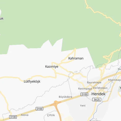
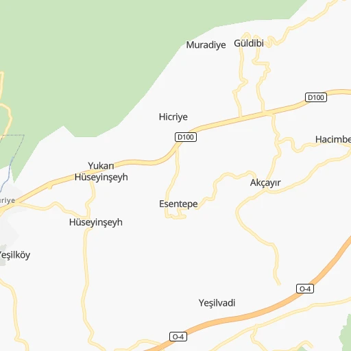
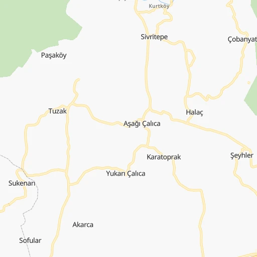
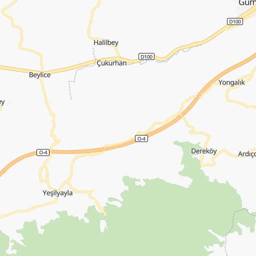
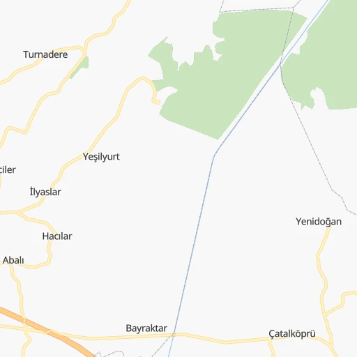
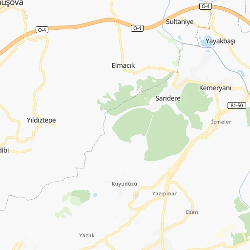
Roadmap (route) to go from Hendek to İnegöl detailed above, you can also see the course layout on the map.
While doing trip Hendek - İnegöl by car, the calculated route ends at a distance , or more straight.
Distance and duration of the route between Hendek and İnegöl
Calculation of distance and route from İnegöl to Hendek :
131.6164.9 km2h6mn
Continue 0h0mn 53 mTurn right 0h0mn 116 mKeep right 0h0mn 173 mKeep left 0h0mn 228 mKeep left onto 54-25 0h0mn 14 mTurn slight right onto 54-25 0h2mn 1.9 kmTurn right 0h0mn 233 mTurn left 0h0mn 57 mTurn right 0h0mn 96 mTurn left 0h2mn 1.4 kmTurn right onto Hendek Hastane Yolu 0h0mn 329 mTurn left 0h1mn 1.5 kmKeep right 0h3mn 5.4 kmKeep left onto Anadolu Otoyolu 0h12mn 23.9 kmKeep right 0h1mn 674 mKeep left 1h33mn 48.6 kmKeep right 0h0mn 233 mKeep left 0h0mn 28 mTurn right 0h0mn 86 mKeep left 0h0mn 80 mTurn slight right 0h0mn 101 mTurn sharp right 0h2mn 1.3 kmTurn sharp right onto D150 0h9mn 10.2 kmContinue onto Adapazarı - İznik Yolu 0h15mn 17.3 kmTurn left onto D595 0h1mn 1.4 kmTurn left onto D595 0h4mn 4.2 kmContinue onto D595 1h38mn 44.0 kmContinue onto Ahmet Akyollu Caddesi 0h1mn 764 mTurn left 0h0mn 286 mTurn right 0h0mn 152 mArrive at destination 0h0mn 0 m
Travel from Hendek (Bursa) to a selection of major cities.
Distances from Hendek to biggest cities in Sakarya
Other major cities in country :
- Sanliurfa [63], 449,549 inhabitants. 805 km
- Malatya [44], 441,805 inhabitants. 704 km
- Sultangazi [34], 436,935 inhabitants. 162 km
- Maltepe [34], 427,040 inhabitants. 135 km
- Erzurum [25], 420,691 inhabitants. 898 km
- Samsun [55], 394,050 inhabitants. 472 km
- Batman [76], 381,990 inhabitants. 950 km
- Kahramanmaras [46], 376,045 inhabitants. 642 km
- Van [65], 371,713 inhabitants. 1,112 km
- Atasehir [34], 361,615 inhabitants. 139 km
- Sisli [34], 314,684 inhabitants. 151 km
- Denizli [20], 313,238 inhabitants. 366 km
- Batikent [68], 300,000 inhabitants. 192 km
- Elazig [23], 298,004 inhabitants. 763 km
- Zeytinburnu [34], 288,743 inhabitants. 157 km
- Sultanbeyli [34], 286,622 inhabitants. 126 km
- Gebze [41], 281,436 inhabitants. 111 km
- Merkezefendi [20], 280,341 inhabitants. 364 km
- Sivas [58], 264,022 inhabitants. 545 km
- Tarsus [32], 256,482 inhabitants. 562 km
Route from İnegöl to major cities (Turkey).
- Distance İnegöl Istanbul115 km
- Distance İnegöl Ankara285 km
- Distance İnegöl Izmir276 km
- Distance İnegöl Adana611 km
- Distance İnegöl Gaziantep763 km
- Distance İnegöl Konya356 km
- Distance İnegöl Cankaya286 km
- Distance İnegöl Antalya368 km
- Distance İnegöl Bagcilar121 km
- Distance İnegöl Diyarbakir956 km
- Distance İnegöl Kayseri535 km
- Distance İnegöl UEskuedar113 km
- Distance İnegöl Bahcelievler117 km
- Distance İnegöl Umraniye110 km
- Distance İnegöl Mersin576 km
- Distance İnegöl Esenler120 km
- Distance İnegöl Eskisehir92 km
- Distance İnegöl Karabaglar279 km
- Distance İnegöl Muratpasa371 km
- Distance İnegöl Sanliurfa869 km
Nearest cities to Hendek :
- Istanbul, 14,804,116 inhabitants. 153 km
- Ankara, 3,517,182 inhabitants. 204 km
- Bursa, 1,412,701 inhabitants. 158 km
- Konya, 875,530 inhabitants. 359 km
- Cankaya, 792,189 inhabitants. 204 km
- Bagcilar, 724,270 inhabitants. 161 km
- UEskuedar, 582,666 inhabitants. 147 km
- Bahcelievler, 576,799 inhabitants. 160 km
- Umraniye, 573,265 inhabitants. 139 km
- Esenler, 520,235 inhabitants. 160 km
- Eskisehir, 514,869 inhabitants. 115 km
- Sultangazi, 436,935 inhabitants. 162 km
- Maltepe, 427,040 inhabitants. 135 km
- Atasehir, 361,615 inhabitants. 139 km
- Sisli, 314,684 inhabitants. 151 km
- Batikent, 300,000 inhabitants. 192 km
- Zeytinburnu, 288,743 inhabitants. 157 km
- Adapazari, 286,787 inhabitants. 29 km
- Sultanbeyli, 286,622 inhabitants. 126 km
- Gebze, 281,436 inhabitants. 111 km
- Merkezefendi, 280,341 inhabitants. 364 km
- Sancaktepe, 241,000 inhabitants. 130 km
- Balikesir, 238,151 inhabitants. 275 km
- Esenyurt, 211,330 inhabitants. 176 km
- Kirikkale, 211,138 inhabitants. 257 km
- Corlu, 202,578 inhabitants. 251 km
- Arnavutkoey, 198,165 inhabitants. 174 km
- Izmit, 196,571 inhabitants. 70 km
- Basaksehir, 193,750 inhabitants. 167 km
- Kutahya, 185,008 inhabitants. 166 km
- Bueyuekcekmece, 163,140 inhabitants. 184 km
- Aydin, 163,022 inhabitants. 413 km
- Usak, 152,862 inhabitants. 263 km
- Afyonkarahisar, 146,136 inhabitants. 228 km
- Inegol, 133,959 inhabitants. 132 km
- Beylikduezue, 122,452 inhabitants. 179 km
- Nazilli, 119,370 inhabitants. 383 km
- Bandirma, 107,631 inhabitants. 240 km
- Mustafakemalpasa, 101,412 inhabitants. 216 km
- Zonguldak, 100,229 inhabitants. 114 km
- Karabuk, 97,481 inhabitants. 164 km
- Bolu, 96,629 inhabitants. 73 km
- Polatli, 93,262 inhabitants. 180 km
- Korfez, 90,580 inhabitants. 81 km
- Salihli, 88,906 inhabitants. 341 km
- Eregli, 88,848 inhabitants. 78 km
- Akhisar, 84,659 inhabitants. 325 km
- Cerkezkoey, 84,234 inhabitants. 237 km
- Khanjarah, 71,379 inhabitants. 243 km
- Yalova, 71,289 inhabitants. 125 km
Location Hendek (Sakarya) :
| Country flag |  |
| Location | Hendek |
| State | Sakarya |
| County | |
| Country | Turkey |
| Country code / ISO 2 | TR |
| Latitude | 40.7994400 |
| Longitude | 30.7480600 |
| Altitude | 0 meters |
| Time zone | Europe/Istanbul |
Location İnegöl (Bursa) :
| Country flag |  |
| Location | İnegöl |
| State | Bursa |
| County | İnegöl |
| Country | Turkey |
| Country code / ISO 2 | TR |
| Latitude | 40.0780600 |
| Longitude | 29.5133300 |
| Altitude | 0 meters |
| Time zone | Europe/Istanbul |


