
How to get from Kyserike Railroad Station (New York) to Waterbury (Connecticut)
Calculate route from Kyserike Railroad Station (New York, United States) to Waterbury (Connecticut, United States).
The flight distance (as the crow flies) between Kyserike Railroad Station and Waterbury is 97.9 km.
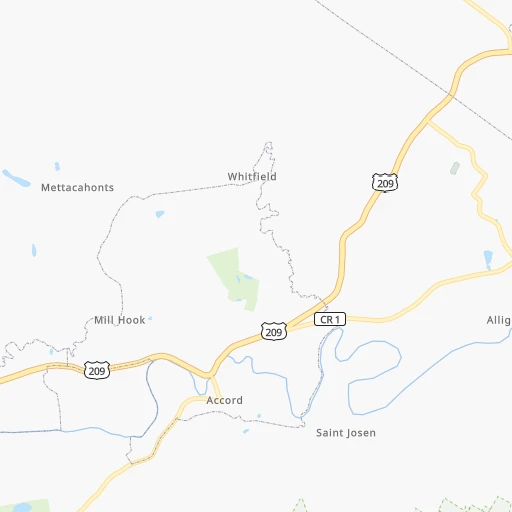
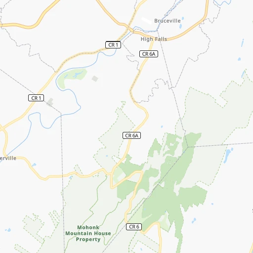
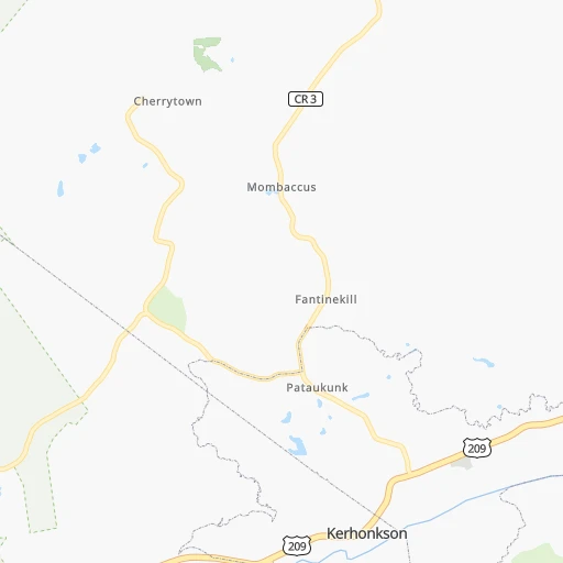
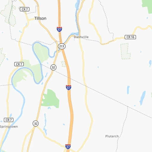
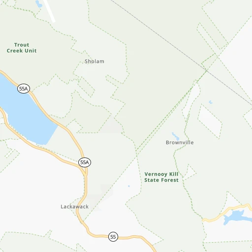
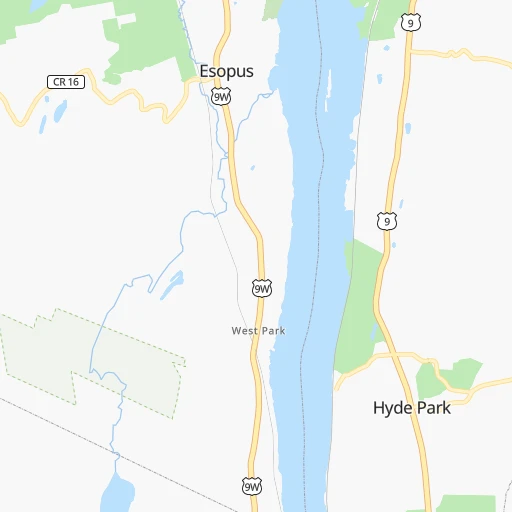
Roadmap (route) to go from Kyserike Railroad Station to Waterbury detailed above, you can also see the course layout on the map.
While doing trip Kyserike Railroad Station - Waterbury by car, the calculated route ends at a distance , or more straight.
Distance and duration of the route between Kyserike Railroad Station and Waterbury
Calculation of distance and route from Waterbury to Kyserike Railroad Station :
97.9125.6 km2h14mn
Continue onto Dairy Road 0h0mn 205 mTurn left onto Kyserike Road 0h6mn 5.2 kmTurn right onto Mohonk Road 0h10mn 8.6 kmTurn slight right onto Springtown Road 0h1mn 760 mTurn left onto New Paltz-Minnewaska Road 0h6mn 6.6 kmTurn right onto New Paltz Road 0h6mn 5.3 kmContinue onto Main Street 0h0mn 339 mKeep left onto Main Street 0h0mn 120 mTurn sharp right onto Vineyard Avenue 0h0mn 74 mTurn left onto Milton Avenue 0h0mn 321 mTurn right onto US 9W, US 44, NY 55 0h1mn 779 mKeep right onto US 44, NY 55 and drive toward Mid Hudson Bridge 0h9mn 7.1 kmKeep right onto Haight Avenue 0h8mn 8.5 kmAt roundabout, take exit 1 onto State Highway 55 0h0mn 262 mAt roundabout, take exit 2 onto State Highway 55 0h1mn 455 mAt roundabout, take exit 2 onto State Highway 55 0h6mn 6.5 kmTurn left onto Bruzgul Road 0h16mn 15.8 kmTurn left onto State Highway 55 0h1mn 970 mTurn right onto State Highway 55 0h8mn 7.9 kmTurn right onto Kent Road 0h12mn 11.4 kmTurn left onto Bridge Street 0h1mn 806 mTurn slight right onto Prospect Hill Road 0h5mn 4.9 kmKeep left onto New Milford Road East 0h4mn 3.6 kmTurn right onto Wellers Bridge Road 0h3mn 2.1 kmKeep right onto Church Street 0h0mn 203 mContinue onto Church Street 0h12mn 9.4 kmKeep right onto Hollow Road 0h1mn 482 mTurn right onto Main Street South 0h1mn 991 mTurn left onto Sherman Hill Road 0h7mn 6.8 kmTurn left onto Middlebury Road 0h5mn 5.4 kmTurn left onto Chase Parkway 0h2mn 1.7 kmContinue onto West Main Street 0h2mn 1.9 kmArrive at destination 0h0mn 0 m
Travel from Kyserike Railroad Station (Connecticut) to a selection of major cities.
Distances from Kyserike Railroad Station to biggest cities in New York
- East Harlem,115,921 inhabitants.115 km
- Elmhurst,113,364 inhabitants.122 km
- Bushwick,112,620 inhabitants.126 km
- Gravesend,112,229 inhabitants.136 km
- Corona,109,698 inhabitants.121 km
- Richmond Hill,98,984 inhabitants.127 km
- Albany,98,469 inhabitants.100 km
- Fordham,94,678 inhabitants.108 km
- West Albany,93,794 inhabitants.103 km
- Flatbush,93,361 inhabitants.130 km
- Canarsie,87,366 inhabitants.132 km
- Greenburgh,86,764 inhabitants.91 km
- New Rochelle,79,846 inhabitants.105 km
- Cheektowaga,75,178 inhabitants.395 km
- Kings Bridge,75,132 inhabitants.106 km
- Brownsville,74,497 inhabitants.130 km
- Ridgewood,69,317 inhabitants.126 km
- Mount Vernon,68,628 inhabitants.104 km
- Forest Hills,67,714 inhabitants.125 km
- Jackson Heights,67,067 inhabitants.120 km
Other major cities in country :
- Boston [MA], 667,137 inhabitants. 265 km
- Memphis [TN], 655,770 inhabitants. 1,565 km
- New South Memphis [TN], 641,608 inhabitants. 1,570 km
- Portland [OR], 632,309 inhabitants. 3,867 km
- Oklahoma City [OK], 631,346 inhabitants. 2,140 km
- Las Vegas [NV], 623,747 inhabitants. 3,564 km
- Baltimore [MD], 621,849 inhabitants. 348 km
- Washington, D.C. [DC], 601,723 inhabitants. 405 km
- Milwaukee [WI], 600,155 inhabitants. 1,135 km
- South Boston [MA], 571,281 inhabitants. 265 km
- Albuquerque [NM], 559,121 inhabitants. 2,909 km
- Tucson [AZ], 531,641 inhabitants. 3,406 km
- Nashville [TN], 530,852 inhabitants. 1,257 km
- Fresno [CA], 520,052 inhabitants. 3,922 km
- Sacramento [CA], 490,712 inhabitants. 3,988 km
- Kansas City [MO], 475,378 inhabitants. 1,750 km
- Long Beach [CA], 474,140 inhabitants. 3,929 km
- Mesa [AZ], 471,825 inhabitants. 3,418 km
- Atlanta [GA], 463,878 inhabitants. 1,268 km
- Colorado Springs [CO], 456,568 inhabitants. 2,607 km
Route from Waterbury to major cities (United States).
- Distance Waterbury New York City123 km
- Distance Waterbury Los Angeles4,014 km
- Distance Waterbury Chicago1,212 km
- Distance Waterbury Brooklyn126 km
- Distance Waterbury Houston2,396 km
- Distance Waterbury Queens118 km
- Distance Waterbury Philadelphia252 km
- Distance Waterbury Phoenix3,530 km
- Distance Waterbury Manhattan115 km
- Distance Waterbury San Antonio2,657 km
- Distance Waterbury San Diego3,991 km
- Distance Waterbury The Bronx104 km
- Distance Waterbury Dallas2,312 km
- Distance Waterbury San Jose4,169 km
- Distance Waterbury Austin2,543 km
- Distance Waterbury Jacksonville1,469 km
- Distance Waterbury San Francisco4,194 km
- Distance Waterbury Columbus857 km
- Distance Waterbury Fort Worth2,357 km
- Distance Waterbury Indianapolis1,123 km
Nearest cities to Kyserike Railroad Station :
- New York City, 8,175,133 inhabitants. 123 km
- Brooklyn, 2,300,664 inhabitants. 131 km
- Queens, 2,272,771 inhabitants. 129 km
- Philadelphia, 1,567,442 inhabitants. 223 km
- Manhattan, 1,487,536 inhabitants. 116 km
- The Bronx, 1,385,108 inhabitants. 110 km
- Baltimore, 621,849 inhabitants. 348 km
- Washington, D.C., 601,723 inhabitants. 405 km
- Staten Island, 468,730 inhabitants. 139 km
- Newark, 281,944 inhabitants. 120 km
- Jersey City, 264,290 inhabitants. 121 km
- Jamaica, 216,866 inhabitants. 128 km
- Arlington, 207,627 inhabitants. 410 km
- Yonkers, 201,116 inhabitants. 101 km
- Worcester, 184,815 inhabitants. 203 km
- Harlem, 181,259 inhabitants. 113 km
- Providence, 179,207 inhabitants. 230 km
- East Flatbush, 178,464 inhabitants. 130 km
- East New York, 173,198 inhabitants. 130 km
- Springfield, 154,341 inhabitants. 136 km
- Washington Heights, 152,613 inhabitants. 109 km
- Astoria, 150,165 inhabitants. 117 km
- Borough Park, 149,248 inhabitants. 132 km
- Paterson, 147,754 inhabitants. 99 km
- Bridgeport, 147,629 inhabitants. 108 km
- Syracuse, 144,142 inhabitants. 212 km
- New Haven, 130,322 inhabitants. 118 km
- Elizabeth, 129,007 inhabitants. 128 km
- Stamford, 128,874 inhabitants. 100 km
- Sunset Park, 126,000 inhabitants. 130 km
- Hartford, 124,006 inhabitants. 124 km
- Sheepshead Bay, 122,534 inhabitants. 137 km
- North Stamford, 121,230 inhabitants. 92 km
- Allentown, 120,207 inhabitants. 173 km
- East Harlem, 115,921 inhabitants. 115 km
- Elmhurst, 113,364 inhabitants. 122 km
- Bushwick, 112,620 inhabitants. 126 km
- Gravesend, 112,229 inhabitants. 136 km
- Lowell, 110,699 inhabitants. 253 km
- Manchester, 110,229 inhabitants. 260 km
- Corona, 109,698 inhabitants. 121 km
- Waterbury, 108,802 inhabitants. 98 km
- Edison, 102,548 inhabitants. 145 km
- Columbia, 99,615 inhabitants. 364 km
- Richmond Hill, 98,984 inhabitants. 127 km
- Albany, 98,469 inhabitants. 100 km
- Fordham, 94,678 inhabitants. 108 km
- West Albany, 93,794 inhabitants. 103 km
- Flatbush, 93,361 inhabitants. 130 km
- Newton, 88,817 inhabitants. 253 km
Location Kyserike Railroad Station (New York) :
| Country flag |  |
| Location | Kyserike Railroad Station |
| State | New York |
| County | Ulster County |
| Country | United States |
| Country code / ISO 2 | US |
| Latitude | 41.8102800 |
| Longitude | -74.1822200 |
| Altitude | 73 meters |
| Time zone | America/New_York |
Location Waterbury (Connecticut) :
| Country flag | |
| Location | Waterbury |
| State | Connecticut |
| County | New Haven County |
| Country | United States |
| Country code / ISO 2 | US |
| Latitude | 41.5581500 |
| Longitude | -73.0515000 |
| Altitude | 82 meters |
| Time zone | America/New_York |


