


How to get from Gacsály Vasútállomás (Szabolcs-Szatmár-Bereg) to Mátészalka (Szabolcs-Szatmár-Bereg)
Calculate route from Gacsály Vasútállomás (Szabolcs-Szatmár-Bereg, Hungary) to Mátészalka (Szabolcs-Szatmár-Bereg, Hungary).
The flight distance (as the crow flies) between Gacsály Vasútállomás and Mátészalka is 33.1 km.
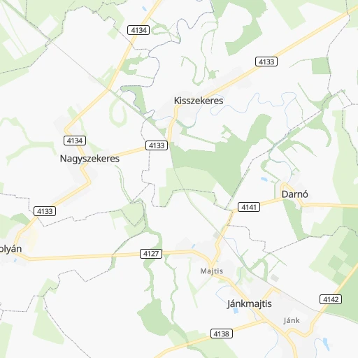
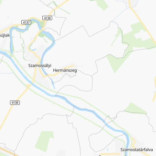
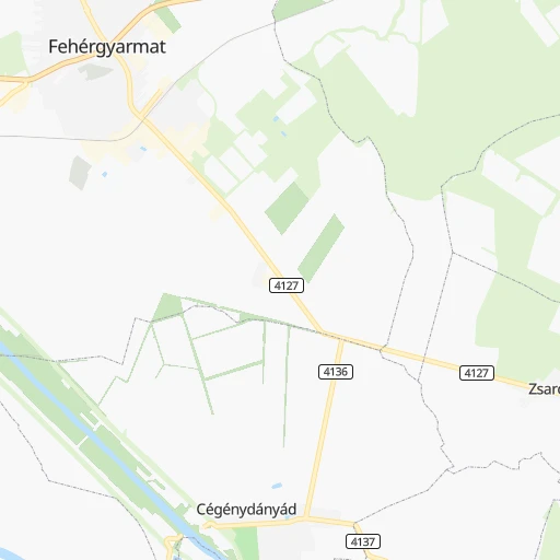
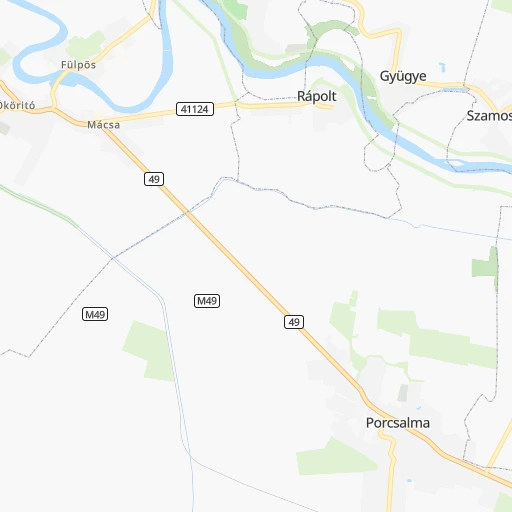
Roadmap (route) to go from Gacsály Vasútállomás to Mátészalka detailed above, you can also see the course layout on the map.
While doing trip Gacsály Vasútállomás - Mátészalka by car, the calculated route ends at a distance , or more straight.
Distance and duration of the route between Gacsály Vasútállomás and Mátészalka
Calculation of distance and route from Mátészalka to Gacsály Vasútállomás :
33.143.2 km1h46mn
Continue 0h2mn 530 mTurn right onto Petőfi utca 0h0mn 339 mKeep right onto Petőfi utca 0h1mn 865 mKeep right onto Kossuth utca 0h6mn 6.0 kmTurn right onto Hatház utca 0h5mn 4.7 kmTurn right onto Ady Endre utca 0h11mn 11.1 kmAt roundabout, take exit 3 onto 491 0h10mn 9.8 kmTurn right onto Kossuth utca 0h9mn 8.0 kmAt roundabout, take exit 2 onto 49 0h1mn 1.2 kmTurn left onto Rákóczi Ferenc utca 0h0mn 171 mTurn right onto Zöldfa utca 0h1mn 469 mTurn sharp right onto Kálvin tér 0h0mn 38 mTurn right 0h0mn 21 mArrive at destination 0h0mn 0 m
Travel from Gacsály Vasútállomás (Szabolcs-Szatmár-Bereg) to a selection of major cities.
Distances from Gacsály Vasútállomás to biggest cities in Szabolcs-Szatmár-Bereg
Other major cities in country :
- Jozsefvaros [05], 76,957 inhabitants. 281 km
- Budapest XXI. keruelet [05], 76,339 inhabitants. 283 km
- Paradsasvar [11], 76,000 inhabitants. 208 km
- Szolnok [20], 75,474 inhabitants. 210 km
- Tatabanya [12], 70,541 inhabitants. 330 km
- Budapest XVI. keruelet [05], 68,484 inhabitants. 273 km
- Kaposvar [17], 67,746 inhabitants. 414 km
- Bekescsaba [03], 65,206 inhabitants. 188 km
- Budapest XX. keruelet [05], 63,371 inhabitants. 280 km
- Erd [16], 62,408 inhabitants. 295 km
- Veszprem [23], 62,023 inhabitants. 377 km
- Erzsebetvaros [05], 62,000 inhabitants. 281 km
- Zalaegerszeg [24], 61,898 inhabitants. 463 km
- Budapest XIX. keruelet [05], 61,610 inhabitants. 276 km
- Kispest [05], 61,453 inhabitants. 277 km
- Sopron [09], 57,210 inhabitants. 462 km
- Eger [11], 56,647 inhabitants. 179 km
- Budapest XII. keruelet [05], 56,544 inhabitants. 285 km
- Nagykanizsa [24], 50,823 inhabitants. 467 km
- Budapest XXII. keruelet [05], 50,499 inhabitants. 285 km
Route from Mátészalka to major cities (Hungary).
- Distance Mátészalka Budapest251 km
- Distance Mátészalka Debrecen70 km
- Distance Mátészalka Miskolc116 km
- Distance Mátészalka Szeged251 km
- Distance Mátészalka Pecs374 km
- Distance Mátészalka Budapest XI. keruelet252 km
- Distance Mátészalka Zuglo246 km
- Distance Mátészalka Gyor352 km
- Distance Mátészalka Budapest III. keruelet250 km
- Distance Mátészalka Budapest XIII. keruelet247 km
- Distance Mátészalka Kecskemet230 km
- Distance Mátészalka Szekesfehervar306 km
- Distance Mátészalka Budapest IV. keruelet246 km
- Distance Mátészalka Budapest XVIII. keruelet243 km
- Distance Mátészalka Budapest II. keruelet252 km
- Distance Mátészalka Budapest VIII. keruelet249 km
- Distance Mátészalka Budapest XV. keruelet244 km
- Distance Mátészalka Szombathely435 km
- Distance Mátészalka Budapest X. keruelet243 km
- Distance Mátészalka Budapest XVII. keruelet236 km
Nearest cities to Gacsály Vasútállomás :
- Debrecen, 204,124 inhabitants. 96 km
- Miskolc, 172,637 inhabitants. 149 km
- Szeged, 164,883 inhabitants. 273 km
- Nyiregyhaza, 116,298 inhabitants. 78 km
- Paradsasvar, 76,000 inhabitants. 208 km
- Szolnok, 75,474 inhabitants. 210 km
- Bekescsaba, 65,206 inhabitants. 188 km
- Eger, 56,647 inhabitants. 179 km
- Hodmezovasarhely, 47,485 inhabitants. 250 km
- Salgotarjan, 39,640 inhabitants. 221 km
- Cegled, 39,287 inhabitants. 238 km
- Ozd, 38,476 inhabitants. 186 km
- Gyongyos, 32,938 inhabitants. 213 km
- Kazincbarcika, 32,396 inhabitants. 162 km
- Gyula, 32,269 inhabitants. 182 km
- Hajduboszormeny, 31,957 inhabitants. 98 km
- Kiskunfelegyhaza, 31,720 inhabitants. 259 km
- Oroshaza, 31,373 inhabitants. 220 km
- Jaszbereny, 27,835 inhabitants. 219 km
- Nagykoros, 26,711 inhabitants. 246 km
- Mako, 25,135 inhabitants. 258 km
- Hajduszoboszlo, 23,496 inhabitants. 116 km
- Torokszentmiklos, 22,770 inhabitants. 195 km
- Karcag, 22,370 inhabitants. 154 km
- Bekes, 21,198 inhabitants. 179 km
- Mezotur, 19,168 inhabitants. 191 km
- Mateszalka, 18,718 inhabitants. 33 km
- Csongrad, 18,580 inhabitants. 240 km
- Kisvarda, 18,190 inhabitants. 60 km
- Szarvas, 18,170 inhabitants. 205 km
- Satoraljaujhely, 18,052 inhabitants. 97 km
- Hajdunanas, 18,032 inhabitants. 100 km
- Balmazujvaros, 18,012 inhabitants. 112 km
- Mezokovesd, 17,701 inhabitants. 164 km
- Tiszaujvaros, 17,295 inhabitants. 126 km
- Abony, 16,342 inhabitants. 223 km
- Berettyoujfalu, 16,090 inhabitants. 121 km
- Puspokladany, 15,990 inhabitants. 142 km
- Gyomaendrod, 15,194 inhabitants. 183 km
- Sarospatak, 14,478 inhabitants. 99 km
- Batonyterenye, 14,214 inhabitants. 218 km
- Tiszavasvari, 13,631 inhabitants. 106 km
- Ujfeherto, 13,542 inhabitants. 82 km
- Nyirbator, 13,434 inhabitants. 49 km
- Sajoszentpeter, 13,125 inhabitants. 156 km
- Hajduhadhaz, 12,892 inhabitants. 87 km
- Kisujszallas, 12,661 inhabitants. 170 km
- Tiszafured, 12,000 inhabitants. 154 km
- Tiszafoldvar, 11,873 inhabitants. 217 km
- Tiszakecske, 11,745 inhabitants. 229 km
Location Gacsály Vasútállomás (Szabolcs-Szatmár-Bereg) :
| Country flag |  |
| Location | Gacsály Vasútállomás |
| State | Szabolcs-Szatmár-Bereg |
| County | |
| Country | Hungary |
| Country code / ISO 2 | HU |
| Latitude | 47.9333300 |
| Longitude | 22.7666700 |
| Altitude | 0 meters |
| Time zone | Europe/Budapest |
Location Mátészalka (Szabolcs-Szatmár-Bereg) :
| Country flag | |
| Location | Mátészalka |
| State | Szabolcs-Szatmár-Bereg |
| County | |
| Country | Hungary |
| Country code / ISO 2 | HU |
| Latitude | 47.9552800 |
| Longitude | 22.3234800 |
| Altitude | 0 meters |
| Time zone | Europe/Budapest |