

How to get from Stantsiya Ashurkovo (Donetsk) to Okhtyrka (Sumy)
Calculate route from Stantsiya Ashurkovo (Donetsk, Ukraine) to Okhtyrka (Sumy, Ukraine).
The flight distance (as the crow flies) between Stantsiya Ashurkovo and Okhtyrka is 269.8 km.
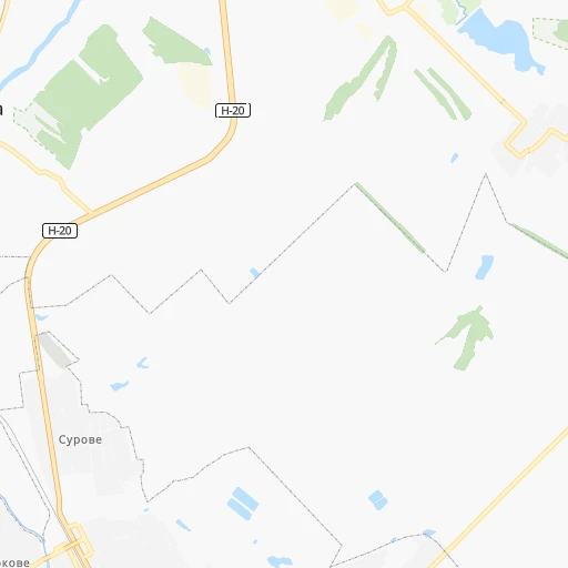
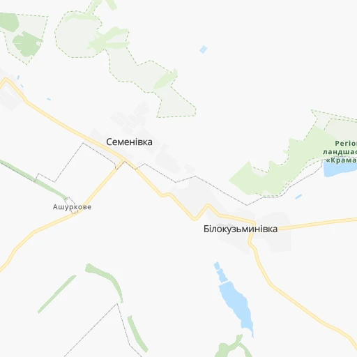
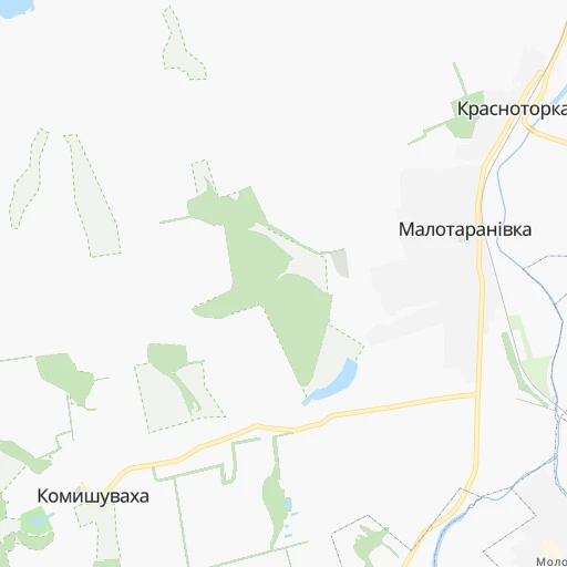
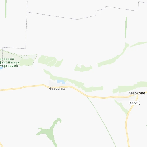
Roadmap (route) to go from Stantsiya Ashurkovo to Okhtyrka detailed above, you can also see the course layout on the map.
While doing trip Stantsiya Ashurkovo - Okhtyrka by car, the calculated route ends at a distance , or more straight.
Distance and duration of the route between Stantsiya Ashurkovo and Okhtyrka
Calculation of distance and route from Okhtyrka to Stantsiya Ashurkovo :
269.8312.6 km5h51mn
Continue 0h2mn 1.3 kmTurn sharp left onto Білокузьминівська вулиця 0h3mn 2.7 kmTurn right onto Красіна вулиця 0h2mn 788 mTurn right 0h2mn 1.9 kmTurn sharp right 0h0mn 328 mTurn right 0h1mn 383 mTurn sharp left onto Слобожанська вулиця 0h1mn 658 mTurn right onto Маріупольська вулиця 0h0mn 74 mTurn left onto Стратосферна вулиця 0h4mn 3.3 kmTurn right onto Олекси Тихого вулиця 0h13mn 14.1 kmTurn left onto Свободи вулиця 0h3mn 2.5 kmTurn right onto Центральна вулиця 0h0mn 186 mTurn left 0h0mn 162 mTurn sharp right 0h0mn 88 mTurn left onto Університетська вулиця 0h0mn 163 mTurn right onto Тараса Шевченка вулиця 0h2mn 1.2 kmTurn slight left onto Шнурковська вулиця 0h0mn 393 mTurn right onto Літературна вулиця 0h10mn 11.0 kmContinue 0h3mn 1.4 kmTurn slight right onto О0536 0h0mn 19 mTurn left onto М-03 0h27mn 31.6 kmTurn right onto Р-79 0h0mn 388 mTurn left onto Покровська вулиця 0h3mn 3.6 kmTurn left onto Європейська вулиця 0h2mn 2.0 kmTurn right onto Івана Мазепи вулиця 0h3mn 2.5 kmTurn right onto М-03 1h2mn 73.3 kmTurn left onto Н-26 0h5mn 6.0 kmTurn left onto Осинівська вулиця 0h1mn 1.4 kmTurn left onto Давній вал вулиця 0h1mn 757 mTurn right onto Харківська вулиця 0h19mn 22.3 kmKeep left onto проспект Героїв Харкова 0h12mn 9.6 kmKeep left 0h0mn 115 mKeep left 0h0mn 50 mKeep left 0h1mn 678 mKeep left 0h0mn 70 mTurn right 0h5mn 4.4 kmTurn right onto вулиця Вернадського 0h0mn 283 mAt roundabout, take exit 2 onto Подільський провулок 0h1mn 659 mTurn left onto Вірменський провулок 0h0mn 325 mTurn slight right onto Павлівський майдан 0h0mn 221 mTurn left onto Полтавський Шлях вулиця 0h5mn 5.1 kmKeep right onto Залютинська вулиця 1h53mn 53.7 kmTurn right onto Леонова вулиця 0h0mn 447 mTurn slight right onto Свято-Духівська площа 0h2mn 1.6 kmKeep left onto вулиця Захисників України 1h37mn 46.2 kmTurn left onto Киріковський провулок 0h0mn 432 mContinue onto вулиця Перемоги 0h3mn 2.2 kmTurn right 0h0mn 66 mArrive at destination 0h0mn 0 m
Travel from Stantsiya Ashurkovo (Sumy) to a selection of major cities.
Distances from Stantsiya Ashurkovo to biggest cities in Donetsk
- Debal'tseve,30,200 inhabitants.67 km
- Lyman,28,200 inhabitants.39 km
- Selydove,24,269 inhabitants.62 km
- Dokuchayevs'k,23,900 inhabitants.101 km
- Volnovakha,23,731 inhabitants.118 km
- Amvrosiyivka,21,307 inhabitants.115 km
- Kurakhovo,20,700 inhabitants.79 km
Other major cities in country :
- Kropyvnytskyi [10], 249,454 inhabitants. 396 km
- Kamianske [04], 248,575 inhabitants. 224 km
- Chernivtsi [03], 236,250 inhabitants. 863 km
- Ternopil [22], 235,676 inhabitants. 883 km
- Kremenchuk [18], 227,494 inhabitants. 312 km
- Lutsk [24], 213,661 inhabitants. 914 km
- Ivano-Frankivsk [06], 204,200 inhabitants. 947 km
- Bila Tserkva [13], 199,163 inhabitants. 562 km
- Melitopol [26], 158,000 inhabitants. 263 km
- Kerch [11], 148,932 inhabitants. 378 km
- Nikopol [04], 130,500 inhabitants. 269 km
- Syevyerodonets'k [14], 130,000 inhabitants. 71 km
- Berdyansk [26], 118,284 inhabitants. 220 km
- Uzhgorod [25], 117,878 inhabitants. 1,126 km
- Alchevs'k [14], 116,000 inhabitants. 89 km
- Pavlohrad [04], 115,932 inhabitants. 131 km
- Lysychans'k [14], 111,600 inhabitants. 65 km
- Yevpatoriya [11], 106,202 inhabitants. 503 km
- Oleksandriya [10], 103,000 inhabitants. 332 km
- Kamianets-Podilskyi [09], 100,000 inhabitants. 812 km
Route from Okhtyrka to major cities (Ukraine).
- Distance Okhtyrka Kyiv311 km
- Distance Okhtyrka Kharkiv103 km
- Distance Okhtyrka Dnipro206 km
- Distance Okhtyrka Donetsk331 km
- Distance Okhtyrka Odessa526 km
- Distance Okhtyrka Zaporizhia278 km
- Distance Okhtyrka Lviv778 km
- Distance Okhtyrka Kryvyi Rih289 km
- Distance Okhtyrka Mykolayiv429 km
- Distance Okhtyrka Mariupol407 km
- Distance Okhtyrka Luhansk374 km
- Distance Okhtyrka Sevastopol645 km
- Distance Okhtyrka Khmelnytskyi575 km
- Distance Okhtyrka Makiyivka335 km
- Distance Okhtyrka Vinnytsia477 km
- Distance Okhtyrka Simferopol599 km
- Distance Okhtyrka Kherson440 km
- Distance Okhtyrka Poltava84 km
- Distance Okhtyrka Chernihiv286 km
- Distance Okhtyrka Cherkasy226 km
Nearest cities to Stantsiya Ashurkovo :
- Kharkiv, 1,430,885 inhabitants. 178 km
- Dnipro, 1,032,822 inhabitants. 193 km
- Donetsk, 1,024,700 inhabitants. 72 km
- Zaporizhia, 796,217 inhabitants. 204 km
- Mariupol, 481,626 inhabitants. 174 km
- Luhansk, 452,000 inhabitants. 124 km
- Makiyivka, 376,610 inhabitants. 71 km
- Sumy, 294,456 inhabitants. 324 km
- Horlivka, 278,550 inhabitants. 47 km
- Kramators'k, 173,700 inhabitants. 9 km
- Melitopol, 158,000 inhabitants. 263 km
- Syevyerodonets'k, 130,000 inhabitants. 71 km
- Sloviansk, 124,800 inhabitants. 23 km
- Berdyansk, 118,284 inhabitants. 220 km
- Alchevs'k, 116,000 inhabitants. 89 km
- Pavlohrad, 115,932 inhabitants. 131 km
- Lysychans'k, 111,600 inhabitants. 65 km
- Yenakiyeve, 104,101 inhabitants. 63 km
- Kostyantynivka, 91,259 inhabitants. 15 km
- Krasnyy Luch, 90,005 inhabitants. 112 km
- Kadiyivka, 84,425 inhabitants. 75 km
- Bakhmut, 80,500 inhabitants. 28 km
- Novomoskovs'k, 73,100 inhabitants. 176 km
- Shakhtars'k, 71,700 inhabitants. 89 km
- Pokrovsk, 68,263 inhabitants. 54 km
- Chystyakove, 68,037 inhabitants. 99 km
- Sverdlovs'k, 68,000 inhabitants. 162 km
- Khartsyz'k, 64,000 inhabitants. 78 km
- Rubizhne, 62,993 inhabitants. 67 km
- Druzhkivka, 62,315 inhabitants. 7 km
- Lozova, 62,311 inhabitants. 100 km
- Antratsyt, 61,600 inhabitants. 123 km
- Energodar, 55,800 inhabitants. 256 km
- Snizhne, 55,587 inhabitants. 109 km
- Izyum, 53,778 inhabitants. 68 km
- Roven'ky, 53,600 inhabitants. 144 km
- Bryanka, 51,921 inhabitants. 78 km
- Okhtyrka, 49,818 inhabitants. 270 km
- Myrnohrad, 49,646 inhabitants. 48 km
- Sorokyne, 49,352 inhabitants. 160 km
- Toretsk, 41,758 inhabitants. 33 km
- Pervomays'k, 41,480 inhabitants. 67 km
- Kirovs'k, 40,000 inhabitants. 74 km
- Yasynuvata, 37,600 inhabitants. 61 km
- Chuhuyiv, 36,519 inhabitants. 148 km
- Dobropillya, 35,977 inhabitants. 46 km
- Avdiyivka, 35,826 inhabitants. 58 km
- Tokmak, 34,926 inhabitants. 212 km
- Kupjansk, 32,449 inhabitants. 117 km
- Synel'nykove, 31,900 inhabitants. 161 km
Location Stantsiya Ashurkovo (Donetsk) :
| Country flag |  |
| Location | Stantsiya Ashurkovo |
| State | Donetsk |
| County | |
| Country | Ukraine |
| Country code / ISO 2 | UA |
| Latitude | 48.6565400 |
| Longitude | 37.6364000 |
| Altitude | 0 meters |
| Time zone | Europe/Zaporozhye |
Location Okhtyrka (Sumy) :
| Country flag | |
| Location | Okhtyrka |
| State | Sumy |
| County | |
| Country | Ukraine |
| Country code / ISO 2 | UA |
| Latitude | 50.3103600 |
| Longitude | 34.8987900 |
| Altitude | 0 meters |
| Time zone | Europe/Kiev |