
How to get from Kochubeyivka (Poltava) to Nova Kakhovka (Kherson)
Calculate route from Kochubeyivka (Poltava, Ukraine) to Nova Kakhovka (Kherson, Ukraine).
The flight distance (as the crow flies) between Kochubeyivka and Nova Kakhovka is 353.3 km.
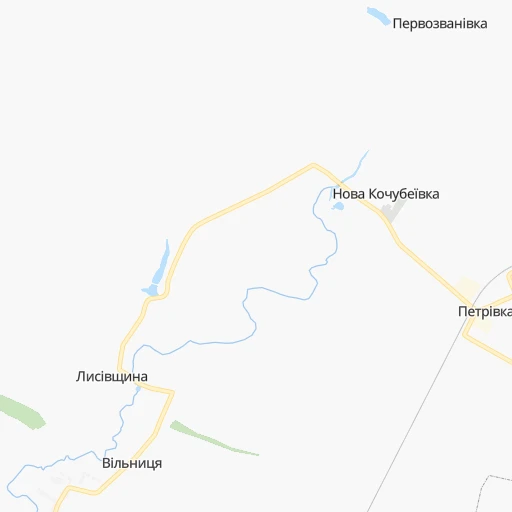
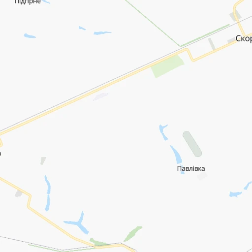
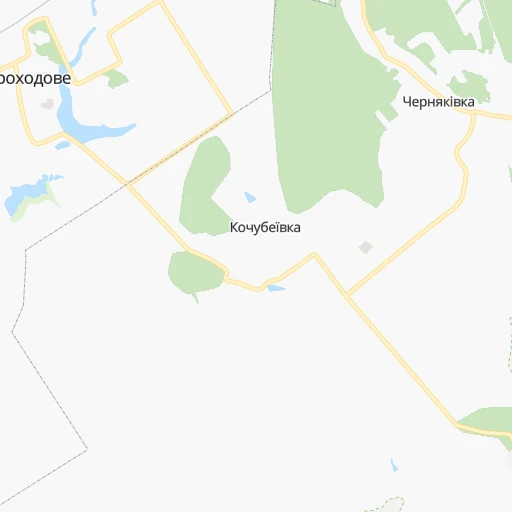
Roadmap (route) to go from Kochubeyivka to Nova Kakhovka detailed above, you can also see the course layout on the map.
While doing trip Kochubeyivka - Nova Kakhovka by car, the calculated route ends at a distance , or more straight.
Distance and duration of the route between Kochubeyivka and Nova Kakhovka
Calculation of distance and route from Nova Kakhovka to Kochubeyivka :
353.3569.0 km8h28mn
Continue onto Привокзальна вулиця 0h10mn 5.0 kmContinue 0h10mn 2.7 kmKeep right 0h3mn 855 mKeep left 0h2mn 659 mTurn slight left onto С-172425 0h22mn 26.2 kmTurn left onto вулиця Ломоносова 0h1mn 987 mTurn right onto Довгалівський провулок 0h1mn 479 mTurn left onto вулиця Горького 0h1mn 391 mTurn right onto провулок Ніколаєвського 0h1mn 746 mTurn left onto вулиця Полтавський Шлях 0h20mn 22.2 kmTurn right 0h1mn 463 mTurn slight left onto Садова вулиця 0h0mn 67 mKeep right onto Центральна вулиця 0h3mn 1.8 kmTurn left onto Козацька вулиця 0h0mn 275 mTurn right onto Полтавська вулиця 0h13mn 11.7 kmTurn left 0h0mn 53 mTurn right onto М-29 1h37mn 61.9 kmKeep right and take М-18 toward Новомосковськ 0h0mn 410 mTurn slight right onto М-18 0h17mn 17.0 kmTurn left onto вулиця 195-ї Стрілецької Дивізії 1h29mn 101.6 kmAt roundabout, take exit 3 onto Оріхівське шосе 1h44mn 50.9 kmAt roundabout, take exit 1 onto Н-08, Т-04-08 0h0mn 439 mTurn left onto Запорізька вулиця 0h4mn 3.6 kmKeep right 0h0mn 124 mTurn slight right onto Н-08, Т-04-08 0h6mn 5.2 kmContinue onto Т-04-08 1h32mn 31.1 kmAt roundabout, take exit 1 onto Гоголя вулиця 0h0mn 404 mAt roundabout, take exit 2 onto Гоголя вулиця 1h34mn 38.9 kmTurn right onto Т-04-01 0h16mn 15.8 kmTurn left onto Суворова вулиця 0h1mn 731 mTurn right onto Запорізька вулиця 0h0mn 74 mTurn left onto Ломоносова вулиця 0h4mn 3.0 kmTurn right onto Воїнів-Інтернаціоналістів вулиця 0h3mn 2.9 kmTurn right onto Івана Алексєєва вулиця 0h2mn 1.7 kmAt roundabout, take exit 2 onto Каховське шосе 0h3mn 3.0 kmAt roundabout, take exit 2 onto М-14 2h35mn 123.3 kmKeep right 0h3mn 2.4 kmTurn right onto Р-47 0h10mn 11.0 kmAt roundabout, take exit 2 onto Р-47 0h12mn 13.4 kmAt roundabout, take exit 1 onto Р-47 0h2mn 1.6 kmTurn left onto Електромашинобудівників вулиця 0h2mn 1.8 kmTurn right onto Першотравнева вулиця 0h0mn 361 mTurn left onto Миколи Букіна вулиця 0h2mn 1.3 kmTurn right onto Соборна вулиця 0h1mn 390 mTurn left onto Гідробудівників вулиця 0h0mn 46 mArrive at destination 0h0mn 0 m
Travel from Kochubeyivka (Kherson) to a selection of major cities.
Distances from Kochubeyivka to biggest cities in Poltava
Other major cities in country :
- Zhytomyr [27], 282,192 inhabitants. 454 km
- Horlivka [05], 278,550 inhabitants. 274 km
- Rivne [19], 255,106 inhabitants. 630 km
- Kropyvnytskyi [10], 249,454 inhabitants. 240 km
- Kamianske [04], 248,575 inhabitants. 140 km
- Chernivtsi [03], 236,250 inhabitants. 678 km
- Ternopil [22], 235,676 inhabitants. 676 km
- Lutsk [24], 213,661 inhabitants. 694 km
- Ivano-Frankivsk [06], 204,200 inhabitants. 749 km
- Bila Tserkva [13], 199,163 inhabitants. 349 km
- Kramators'k [05], 173,700 inhabitants. 220 km
- Melitopol [26], 158,000 inhabitants. 324 km
- Kerch [11], 148,932 inhabitants. 502 km
- Nikopol [04], 130,500 inhabitants. 246 km
- Syevyerodonets'k [14], 130,000 inhabitants. 270 km
- Sloviansk [05], 124,800 inhabitants. 215 km
- Berdyansk [26], 118,284 inhabitants. 358 km
- Uzhgorod [25], 117,878 inhabitants. 929 km
- Alchevs'k [14], 116,000 inhabitants. 314 km
- Pavlohrad [04], 115,932 inhabitants. 150 km
Route from Nova Kakhovka to major cities (Ukraine).
- Distance Nova Kakhovka Kyiv461 km
- Distance Nova Kakhovka Kharkiv418 km
- Distance Nova Kakhovka Dnipro228 km
- Distance Nova Kakhovka Donetsk364 km
- Distance Nova Kakhovka Odessa202 km
- Distance Nova Kakhovka Zaporizhia183 km
- Distance Nova Kakhovka Lviv770 km
- Distance Nova Kakhovka Kryvyi Rih129 km
- Distance Nova Kakhovka Mykolayiv106 km
- Distance Nova Kakhovka Mariupol321 km
- Distance Nova Kakhovka Luhansk491 km
- Distance Nova Kakhovka Sevastopol241 km
- Distance Nova Kakhovka Khmelnytskyi558 km
- Distance Nova Kakhovka Makiyivka374 km
- Distance Nova Kakhovka Vinnytsia455 km
- Distance Nova Kakhovka Simferopol209 km
- Distance Nova Kakhovka Poltava328 km
- Distance Nova Kakhovka Chernihiv550 km
- Distance Nova Kakhovka Cherkasy313 km
- Distance Nova Kakhovka Sumy476 km
Nearest cities to Kochubeyivka :
- Kharkiv, 1,430,885 inhabitants. 96 km
- Dnipro, 1,032,822 inhabitants. 143 km
- Donetsk, 1,024,700 inhabitants. 282 km
- Zaporizhia, 796,217 inhabitants. 215 km
- Kryvyi Rih, 652,380 inhabitants. 235 km
- Mykolayiv, 510,840 inhabitants. 379 km
- Mariupol, 481,626 inhabitants. 351 km
- Makiyivka, 376,610 inhabitants. 287 km
- Poltava, 317,847 inhabitants. 35 km
- Cherkasy, 297,568 inhabitants. 213 km
- Sumy, 294,456 inhabitants. 132 km
- Kropyvnytskyi, 249,454 inhabitants. 240 km
- Kamianske, 248,575 inhabitants. 140 km
- Kremenchuk, 227,494 inhabitants. 135 km
- Kramators'k, 173,700 inhabitants. 220 km
- Melitopol, 158,000 inhabitants. 324 km
- Nikopol, 130,500 inhabitants. 246 km
- Sloviansk, 124,800 inhabitants. 215 km
- Berdyansk, 118,284 inhabitants. 358 km
- Pavlohrad, 115,932 inhabitants. 150 km
- Oleksandriya, 103,000 inhabitants. 180 km
- Konotop, 91,798 inhabitants. 208 km
- Kostyantynivka, 91,259 inhabitants. 241 km
- Shostka, 85,432 inhabitants. 258 km
- Novomoskovs'k, 73,100 inhabitants. 125 km
- Pokrovsk, 68,263 inhabitants. 229 km
- Pryluky, 62,823 inhabitants. 207 km
- Druzhkivka, 62,315 inhabitants. 225 km
- Lozova, 62,311 inhabitants. 136 km
- Energodar, 55,800 inhabitants. 251 km
- Izyum, 53,778 inhabitants. 175 km
- Lubny, 52,600 inhabitants. 145 km
- Horishni Plavni, 51,740 inhabitants. 127 km
- Zhovti Vody, 51,559 inhabitants. 189 km
- Nova Kakhovka, 50,672 inhabitants. 354 km
- Marhanets', 50,443 inhabitants. 236 km
- Okhtyrka, 49,818 inhabitants. 63 km
- Myrnohrad, 49,646 inhabitants. 232 km
- Romny, 48,570 inhabitants. 155 km
- Svitlovods'k, 47,946 inhabitants. 147 km
- Toretsk, 41,758 inhabitants. 258 km
- Myrhorod, 41,377 inhabitants. 101 km
- Yasynuvata, 37,600 inhabitants. 277 km
- Kakhovka, 36,816 inhabitants. 344 km
- Chuhuyiv, 36,519 inhabitants. 124 km
- Dobropillya, 35,977 inhabitants. 210 km
- Avdiyivka, 35,826 inhabitants. 270 km
- Hlukhiv, 35,387 inhabitants. 228 km
- Tokmak, 34,926 inhabitants. 282 km
- Dolyns'ka, 34,267 inhabitants. 243 km
Location Kochubeyivka (Poltava) :
| Country flag |  |
| Location | Kochubeyivka |
| State | Poltava |
| County | |
| Country | Ukraine |
| Country code / ISO 2 | UA |
| Latitude | 49.7446200 |
| Longitude | 34.9711400 |
| Altitude | 0 meters |
| Time zone | Europe/Zaporozhye |
Location Nova Kakhovka (Kherson) :
| Country flag | |
| Location | Nova Kakhovka |
| State | Kherson |
| County | |
| Country | Ukraine |
| Country code / ISO 2 | UA |
| Latitude | 46.7545100 |
| Longitude | 33.3486400 |
| Altitude | 0 meters |
| Time zone | Europe/Kiev |