
How to get from Stantsiya Kushuhum (Zaporizhia) to Pokrovsk (Donetsk)
Calculate route from Stantsiya Kushuhum (Zaporizhia, Ukraine) to Pokrovsk (Donetsk, Ukraine).
The flight distance (as the crow flies) between Stantsiya Kushuhum and Pokrovsk is 159.9 km.
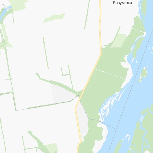
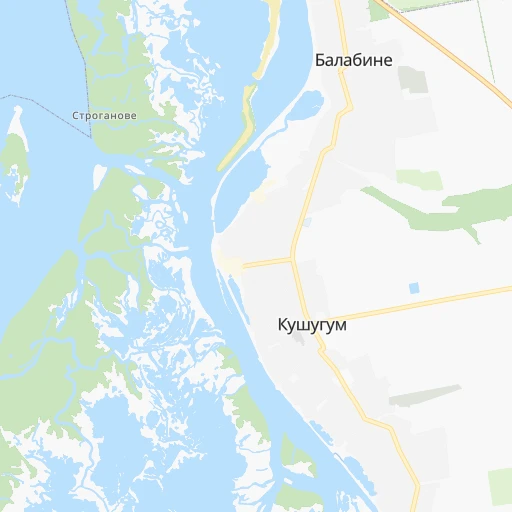
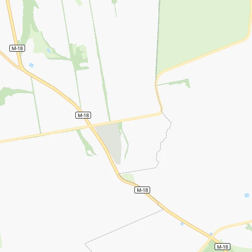
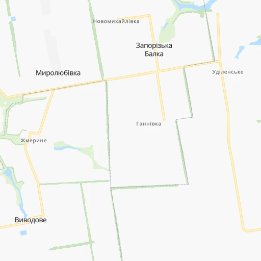
Roadmap (route) to go from Stantsiya Kushuhum to Pokrovsk detailed above, you can also see the course layout on the map.
While doing trip Stantsiya Kushuhum - Pokrovsk by car, the calculated route ends at a distance , or more straight.
Distance and duration of the route between Stantsiya Kushuhum and Pokrovsk
Calculation of distance and route from Pokrovsk to Stantsiya Kushuhum :
159.9195.7 km3h7mn
Continue 0h1mn 358 mTurn left onto Леваневського вулиця 0h0mn 21 mTurn sharp right onto Червона вулиця 0h0mn 91 mTurn sharp left 0h0mn 117 mTurn right onto Джерельна вулиця 0h1mn 502 mTurn left onto О-080720 0h5mn 4.2 kmTurn slight left onto Барикадна вулиця 0h3mn 3.1 kmTurn right onto Олександра Говорухи вулиця 0h1mn 1.3 kmTurn left onto Космічна вулиця 0h0mn 110 mTurn sharp right onto Радіо вулиця 0h0mn 403 mTurn right onto Луганська вулиця 0h3mn 2.8 kmTurn left onto М-18 0h6mn 4.6 kmTurn right onto Донецьке шосе 1h6mn 82.6 kmTurn right 0h1mn 699 mTurn left 0h1mn 749 mTurn right onto вулиця Дмитра Яворницького 0h3mn 1.3 kmKeep right onto Соборна вулиця 0h0mn 123 mContinue onto Соборна вулиця 0h18mn 21.4 kmTurn left 0h2mn 1.6 kmTurn right onto О-041405 0h1mn 1.1 kmKeep left onto О-041405 0h26mn 22.0 kmTurn left onto Т-04-28 0h12mn 11.7 kmTurn right onto Т-04-06 0h18mn 17.8 kmKeep right 0h0mn 236 mTurn right onto Т-04-06 0h0mn 189 mTurn right onto Т-04-06 0h0mn 485 mTurn left onto Т-04-06 0h14mn 13.8 kmTurn right onto Захисників України вулиця 0h0mn 120 mTurn left onto Партизанська вулиця 0h1mn 891 mTurn left onto Шевченка вулиця 0h1mn 968 mTurn right onto Центральна вулиця 0h0mn 135 mTurn right onto Європейська вулиця 0h0mn 83 mTurn right 0h0mn 19 mArrive at destination 0h0mn 0 m
Travel from Stantsiya Kushuhum (Donetsk) to a selection of major cities.
Distances from Stantsiya Kushuhum to biggest cities in Zaporizhia
Other major cities in country :
- Zhytomyr [27], 282,192 inhabitants. 554 km
- Horlivka [05], 278,550 inhabitants. 223 km
- Rivne [19], 255,106 inhabitants. 727 km
- Kropyvnytskyi [10], 249,454 inhabitants. 235 km
- Kamianske [04], 248,575 inhabitants. 98 km
- Chernivtsi [03], 236,250 inhabitants. 692 km
- Ternopil [22], 235,676 inhabitants. 735 km
- Kremenchuk [18], 227,494 inhabitants. 199 km
- Lutsk [24], 213,661 inhabitants. 791 km
- Ivano-Frankivsk [06], 204,200 inhabitants. 787 km
- Bila Tserkva [13], 199,163 inhabitants. 439 km
- Kramators'k [05], 173,700 inhabitants. 208 km
- Kerch [11], 148,932 inhabitants. 281 km
- Nikopol [04], 130,500 inhabitants. 62 km
- Syevyerodonets'k [14], 130,000 inhabitants. 280 km
- Sloviansk [05], 124,800 inhabitants. 220 km
- Uzhgorod [25], 117,878 inhabitants. 961 km
- Alchevs'k [14], 116,000 inhabitants. 282 km
- Pavlohrad [04], 115,932 inhabitants. 103 km
- Lysychans'k [14], 111,600 inhabitants. 274 km
Route from Pokrovsk to major cities (Ukraine).
- Distance Pokrovsk Kyiv539 km
- Distance Pokrovsk Kharkiv201 km
- Distance Pokrovsk Dnipro159 km
- Distance Pokrovsk Odessa525 km
- Distance Pokrovsk Zaporizhia156 km
- Distance Pokrovsk Lviv974 km
- Distance Pokrovsk Kryvyi Rih285 km
- Distance Pokrovsk Mykolayiv415 km
- Distance Pokrovsk Luhansk161 km
- Distance Pokrovsk Sevastopol497 km
- Distance Pokrovsk Khmelnytskyi756 km
- Distance Pokrovsk Vinnytsia646 km
- Distance Pokrovsk Simferopol438 km
- Distance Pokrovsk Kherson388 km
- Distance Pokrovsk Poltava242 km
- Distance Pokrovsk Chernihiv554 km
- Distance Pokrovsk Cherkasy396 km
- Distance Pokrovsk Sumy340 km
- Distance Pokrovsk Zhytomyr655 km
- Distance Pokrovsk Rivne833 km
Nearest cities to Stantsiya Kushuhum :
- Kharkiv, 1,430,885 inhabitants. 263 km
- Dnipro, 1,032,822 inhabitants. 83 km
- Donetsk, 1,024,700 inhabitants. 198 km
- Zaporizhia, 796,217 inhabitants. 11 km
- Kryvyi Rih, 652,380 inhabitants. 137 km
- Mariupol, 481,626 inhabitants. 190 km
- Makiyivka, 376,610 inhabitants. 207 km
- Simferopol, 336,460 inhabitants. 319 km
- Kherson, 320,477 inhabitants. 228 km
- Poltava, 317,847 inhabitants. 214 km
- Horlivka, 278,550 inhabitants. 223 km
- Kropyvnytskyi, 249,454 inhabitants. 235 km
- Kamianske, 248,575 inhabitants. 98 km
- Kremenchuk, 227,494 inhabitants. 199 km
- Kramators'k, 173,700 inhabitants. 208 km
- Melitopol, 158,000 inhabitants. 98 km
- Kerch, 148,932 inhabitants. 281 km
- Nikopol, 130,500 inhabitants. 62 km
- Sloviansk, 124,800 inhabitants. 220 km
- Berdyansk, 118,284 inhabitants. 161 km
- Pavlohrad, 115,932 inhabitants. 103 km
- Yevpatoriya, 106,202 inhabitants. 314 km
- Oleksandriya, 103,000 inhabitants. 187 km
- Kostyantynivka, 91,259 inhabitants. 207 km
- Bakhmut, 80,500 inhabitants. 230 km
- Novomoskovs'k, 73,100 inhabitants. 102 km
- Feodosiya, 68,562 inhabitants. 299 km
- Pokrovsk, 68,263 inhabitants. 160 km
- Khartsyz'k, 64,000 inhabitants. 223 km
- Pryluky, 62,823 inhabitants. 379 km
- Druzhkivka, 62,315 inhabitants. 202 km
- Lozova, 62,311 inhabitants. 154 km
- Energodar, 55,800 inhabitants. 47 km
- Izyum, 53,778 inhabitants. 224 km
- Lubny, 52,600 inhabitants. 302 km
- Horishni Plavni, 51,740 inhabitants. 184 km
- Zhovti Vody, 51,559 inhabitants. 144 km
- Nova Kakhovka, 50,672 inhabitants. 176 km
- Marhanets', 50,443 inhabitants. 44 km
- Okhtyrka, 49,818 inhabitants. 289 km
- Myrnohrad, 49,646 inhabitants. 167 km
- Svitlovods'k, 47,946 inhabitants. 207 km
- Toretsk, 41,758 inhabitants. 211 km
- Dzhankoy, 41,731 inhabitants. 232 km
- Myrhorod, 41,377 inhabitants. 276 km
- Yasynuvata, 37,600 inhabitants. 204 km
- Kakhovka, 36,816 inhabitants. 164 km
- Chuhuyiv, 36,519 inhabitants. 260 km
- Dobropillya, 35,977 inhabitants. 163 km
- Avdiyivka, 35,826 inhabitants. 196 km
Location Stantsiya Kushuhum (Zaporizhia) :
| Country flag |  |
| Location | Stantsiya Kushuhum |
| State | Zaporizhia |
| County | |
| Country | Ukraine |
| Country code / ISO 2 | UA |
| Latitude | 47.7224000 |
| Longitude | 35.1946200 |
| Altitude | 0 meters |
| Time zone | Europe/Zaporozhye |
Location Pokrovsk (Donetsk) :
| Country flag | |
| Location | Pokrovsk |
| State | Donetsk |
| County | Krasnoarmiys’ka Mis’krada |
| Country | Ukraine |
| Country code / ISO 2 | UA |
| Latitude | 48.2819800 |
| Longitude | 37.1758500 |
| Altitude | 0 meters |
| Time zone | Europe/Kiev |