


How to get from Stantsiya Loyova (Ivano-Frankivsk) to Kremenets (Ternopil)
Calculate route from Stantsiya Loyova (Ivano-Frankivsk, Ukraine) to Kremenets (Ternopil, Ukraine).
The flight distance (as the crow flies) between Stantsiya Loyova and Kremenets is 186.9 km.
Roadmap (route) to go from Stantsiya Loyova to Kremenets detailed above, you can also see the course layout on the map.
While doing trip Stantsiya Loyova - Kremenets by car, the calculated route ends at a distance , or more straight.
Distance and duration of the route between Stantsiya Loyova and Kremenets
Calculation of distance and route from Kremenets to Stantsiya Loyova :
186.9227.5 km4h54mn
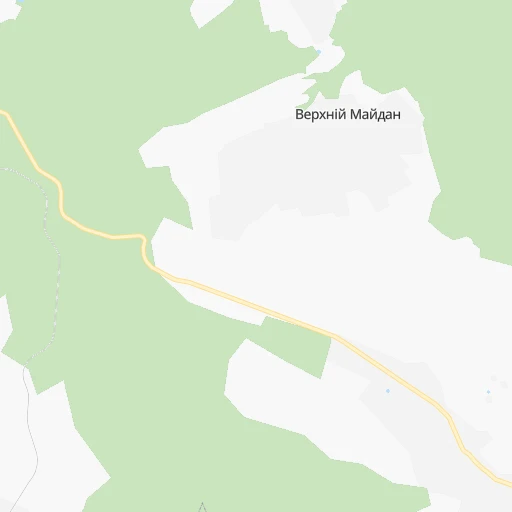
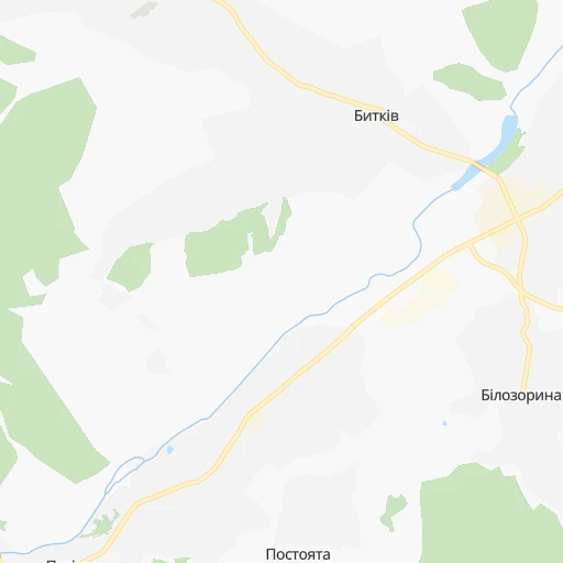
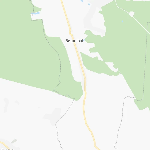
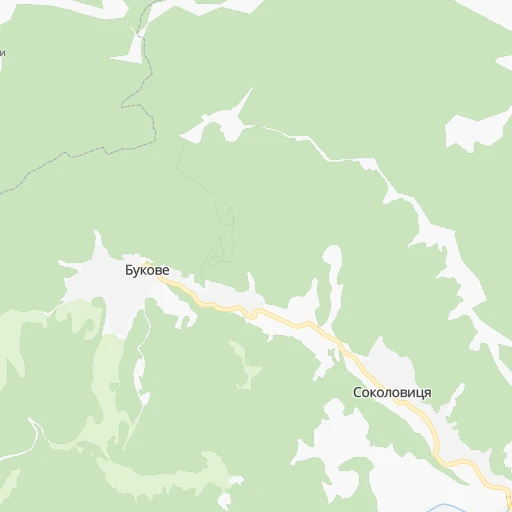
Continue 0h1mn 364 mTurn right onto Н-09 0h5mn 5.9 kmAt roundabout, take exit 2 onto вулиця Чорновола 0h0mn 186 mAt roundabout, take exit 1 onto вулиця Чорновола 0h2mn 2.0 kmKeep right 0h0mn 70 mContinue onto вулиця Шухевича 0h1mn 610 mAt roundabout, take exit 2 onto Т-09-06 0h0mn 151 mContinue onto вулиця Михайла Грушевського 0h3mn 2.7 kmTurn right onto О091302 0h0mn 62 mTurn left onto О091302 0h10mn 8.6 kmTurn left onto О090101, О091302 0h0mn 178 mKeep right onto О091302 0h19mn 15.6 kmAt roundabout, take exit 2 onto Н-10-02 0h8mn 7.1 kmAt roundabout, take exit 1 onto Обʼїзна вулиця 0h4mn 3.6 kmAt roundabout, take exit 1 onto Н-18 0h5mn 4.2 kmAt roundabout, take exit 2 onto вулиця Івана Франка 0h0mn 146 mContinue onto Н-18 1h35mn 31.4 kmTurn left 0h0mn 59 mTurn right onto Горіхова вулиця 0h1mn 277 mTurn left onto вулиця Тараса Шевченка 0h9mn 9.9 kmTurn left onto С200307 0h12mn 6.0 kmTurn slight right onto С200325 0h0mn 12 mTurn left onto Т-20-06 0h4mn 2.8 kmTurn sharp right onto С200303 0h4mn 2.6 kmTurn left onto Н-18 0h30mn 32.7 kmTurn left onto вулиця Лесі Українки 0h2mn 2.4 kmAt roundabout, take exit 1 onto М-19, С201439 0h12mn 15.7 kmTurn left onto вулиця Національного Відродження 0h0mn 17 mTurn right 0h1mn 565 mTurn right 0h0mn 15 mTurn left onto Микулинецька вулиця 0h3mn 2.5 kmKeep right onto Микулинецька вулиця 0h4mn 3.5 kmAt roundabout, take exit 2 onto вулиця 15 Квітня 0h3mn 2.5 kmAt roundabout, take exit 1 onto М-19 1h52mn 60.3 kmAt roundabout, take exit 2 onto Вишнівецька вулиця 0h3mn 2.7 kmTurn left onto провулок Шевченка 0h0mn 83 mTurn right onto Ліцейна вулиця 0h0mn 19 mTurn left 0h0mn 49 mArrive at destination 0h0mn 0 m
Travel from Stantsiya Loyova (Ternopil) to a selection of major cities.
Distances from Stantsiya Loyova to biggest cities in Ivano-Frankivsk
Other major cities in country :
- Sumy [21], 294,456 inhabitants. 778 km
- Zhytomyr [27], 282,192 inhabitants. 349 km
- Horlivka [05], 278,550 inhabitants. 992 km
- Rivne [19], 255,106 inhabitants. 256 km
- Kropyvnytskyi [10], 249,454 inhabitants. 564 km
- Kamianske [04], 248,575 inhabitants. 737 km
- Chernivtsi [03], 236,250 inhabitants. 104 km
- Ternopil [22], 235,676 inhabitants. 130 km
- Kremenchuk [18], 227,494 inhabitants. 648 km
- Lutsk [24], 213,661 inhabitants. 248 km
- Bila Tserkva [13], 199,163 inhabitants. 423 km
- Kramators'k [05], 173,700 inhabitants. 952 km
- Melitopol [26], 158,000 inhabitants. 828 km
- Kerch [11], 148,932 inhabitants. 970 km
- Nikopol [04], 130,500 inhabitants. 737 km
- Syevyerodonets'k [14], 130,000 inhabitants. 1,019 km
- Sloviansk [05], 124,800 inhabitants. 955 km
- Berdyansk [26], 118,284 inhabitants. 935 km
- Uzhgorod [25], 117,878 inhabitants. 169 km
- Alchevs'k [14], 116,000 inhabitants. 1,047 km
Route from Kremenets to major cities (Ukraine).
- Distance Kremenets Kyiv344 km
- Distance Kremenets Kharkiv752 km
- Distance Kremenets Dnipro700 km
- Distance Kremenets Donetsk910 km
- Distance Kremenets Odessa547 km
- Distance Kremenets Zaporizhia736 km
- Distance Kremenets Lviv125 km
- Distance Kremenets Kryvyi Rih609 km
- Distance Kremenets Mykolayiv579 km
- Distance Kremenets Mariupol931 km
- Distance Kremenets Luhansk999 km
- Distance Kremenets Sevastopol849 km
- Distance Kremenets Khmelnytskyi118 km
- Distance Kremenets Makiyivka917 km
- Distance Kremenets Vinnytsia221 km
- Distance Kremenets Simferopol850 km
- Distance Kremenets Kherson637 km
- Distance Kremenets Poltava635 km
- Distance Kremenets Chernihiv421 km
- Distance Kremenets Cherkasy462 km
Nearest cities to Stantsiya Loyova :
- Lviv, 717,803 inhabitants. 146 km
- Khmelnytskyi, 398,346 inhabitants. 198 km
- Rivne, 255,106 inhabitants. 256 km
- Chernivtsi, 236,250 inhabitants. 104 km
- Ternopil, 235,676 inhabitants. 130 km
- Lutsk, 213,661 inhabitants. 248 km
- Ivano-Frankivsk, 204,200 inhabitants. 38 km
- Uzhgorod, 117,878 inhabitants. 169 km
- Kamianets-Podilskyi, 100,000 inhabitants. 147 km
- Chervonohrad, 83,000 inhabitants. 203 km
- Mukacheve, 81,633 inhabitants. 140 km
- Drohobych, 79,406 inhabitants. 117 km
- Kalush, 67,698 inhabitants. 51 km
- Kovel, 66,400 inhabitants. 293 km
- Kolomyia, 61,781 inhabitants. 33 km
- Stryi, 61,404 inhabitants. 93 km
- Novovolyns'k, 57,800 inhabitants. 241 km
- Shepetivka, 46,419 inhabitants. 252 km
- Varash, 42,000 inhabitants. 321 km
- Volodymyr-Volynskyi, 38,256 inhabitants. 253 km
- Dubno, 37,690 inhabitants. 220 km
- Boryslav, 36,704 inhabitants. 116 km
- Sambir, 35,197 inhabitants. 146 km
- Starokostiantyniv, 33,897 inhabitants. 230 km
- Slavuta, 33,080 inhabitants. 252 km
- Netishyn, 33,063 inhabitants. 245 km
- Kostopil', 30,500 inhabitants. 288 km
- Chortkiv, 28,855 inhabitants. 100 km
- Novoyavorivs'k, 28,807 inhabitants. 167 km
- Khust, 27,999 inhabitants. 106 km
- Vynohradiv, 27,600 inhabitants. 126 km
- Sarny, 27,097 inhabitants. 338 km
- Truskavets', 26,600 inhabitants. 111 km
- Berehove, 25,741 inhabitants. 151 km
- Zdolbuniv, 23,697 inhabitants. 246 km
- Brody, 23,239 inhabitants. 172 km
- Zolochiv, 22,608 inhabitants. 138 km
- Polonne, 22,348 inhabitants. 272 km
- Sokal', 21,451 inhabitants. 212 km
- Kremenets, 21,000 inhabitants. 187 km
- Dolyna, 20,696 inhabitants. 61 km
- Nadvirna, 20,154 inhabitants. 6 km
- Stebnyk, 20,087 inhabitants. 110 km
- Krasyliv, 19,815 inhabitants. 210 km
- Izyaslav, 17,758 inhabitants. 235 km
- Horodok, 17,086 inhabitants. 159 km
- Berezhani, 16,962 inhabitants. 99 km
- Kivertsi, 16,509 inhabitants. 258 km
- Svalyava, 16,507 inhabitants. 118 km
- Horodok, 15,993 inhabitants. 151 km
Location Stantsiya Loyova (Ivano-Frankivsk) :
| Country flag |  |
| Location | Stantsiya Loyova |
| State | Ivano-Frankivsk |
| County | |
| Country | Ukraine |
| Country code / ISO 2 | UA |
| Latitude | 48.5833300 |
| Longitude | 24.6000000 |
| Altitude | 0 meters |
| Time zone | Europe/Uzhgorod |
Location Kremenets (Ternopil) :
| Country flag | |
| Location | Kremenets |
| State | Ternopil |
| County | Kremenets Municipality |
| Country | Ukraine |
| Country code / ISO 2 | UA |
| Latitude | 50.0969300 |
| Longitude | 25.7245900 |
| Altitude | 0 meters |
| Time zone | Europe/Kiev |